Goss Covert
Wood, Forest in Gloucestershire Cheltenham
England
Goss Covert
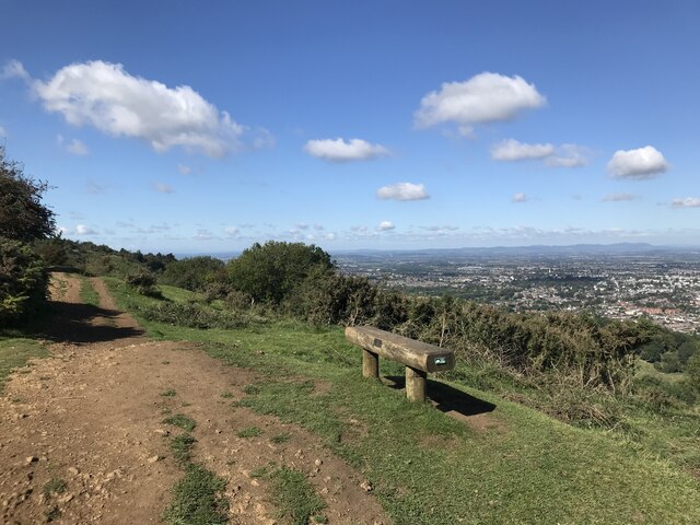
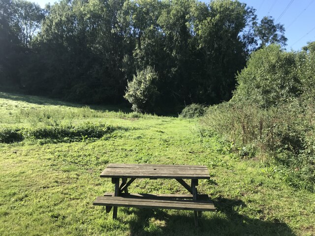
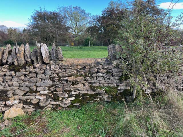
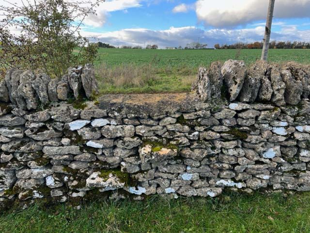
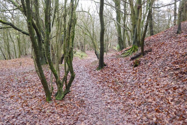
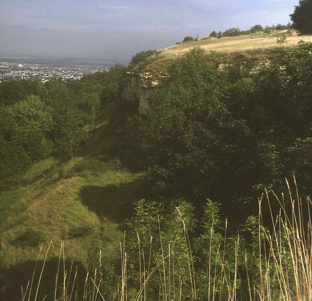
Goss Covert is a small village located in the district of Gloucestershire, England. Situated within the Forest of Dean, Goss Covert is surrounded by a picturesque woodland landscape that is characteristic of the region. The village itself is nestled amongst towering trees and offers a tranquil and serene atmosphere for residents and visitors alike.
The population of Goss Covert is relatively small, with only a few hundred inhabitants. The community is close-knit, and the residents take great pride in their village. The architecture of Goss Covert reflects its rural setting, with traditional cottages and buildings that blend seamlessly into the natural environment.
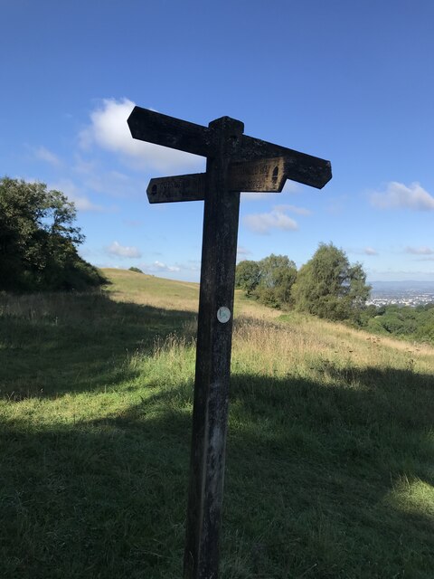
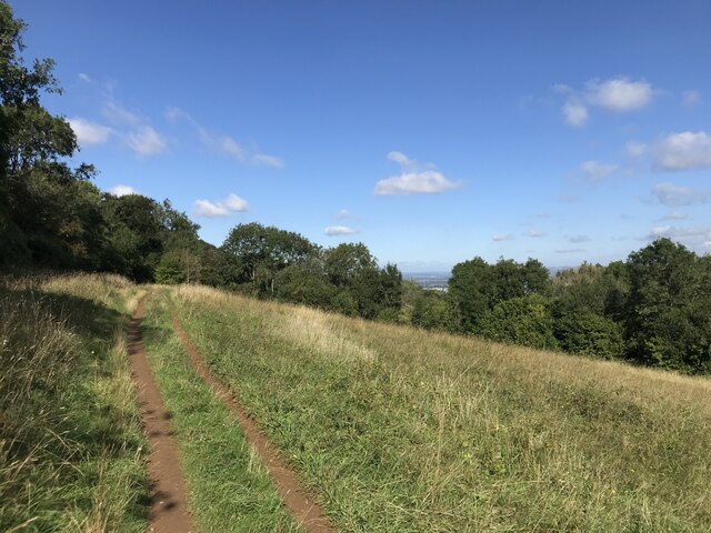
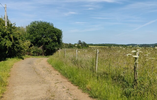
The Forest of Dean, which encompasses Goss Covert, is renowned for its diverse flora and fauna. The woodlands are home to a variety of wildlife, including deer, wild boar, and a wide range of bird species. This makes Goss Covert an ideal location for nature enthusiasts and birdwatchers.
The village offers several amenities for its residents, including a local pub and a small convenience store. However, for more extensive shopping and entertainment options, the nearby town of Coleford is easily accessible.
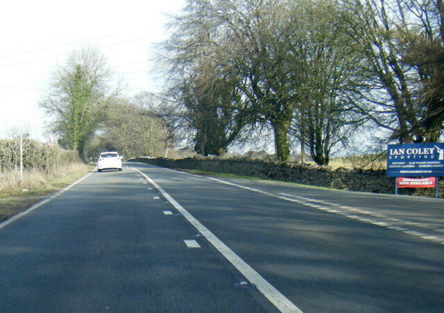
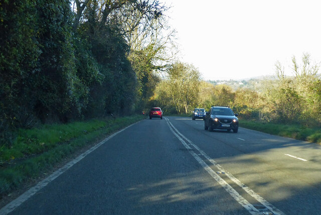
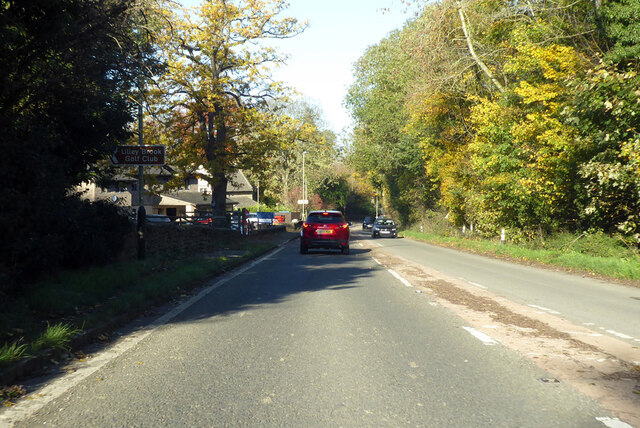
Goss Covert is also well-connected to the surrounding areas. The village benefits from good road links, with the A4136 passing nearby, providing easy access to Gloucester and other major towns in the region.
Overall, Goss Covert is a charming and idyllic village that offers a peaceful retreat from the hustle and bustle of city life. With its natural beauty and strong sense of community, it is a place that many are proud to call home.
If you have any feedback on the listing, please let us know in the comments section below.
Goss Covert Images
Images are sourced within 2km of 51.87015/-2.0471421 or Grid Reference SO9619. Thanks to Geograph Open Source API. All images are credited.


Goss Covert is located at Grid Ref: SO9619 (Lat: 51.87015, Lng: -2.0471421)
Administrative County: Gloucestershire
District: Cheltenham
Police Authority: Gloucestershire
What 3 Words
///marmalade.complain.windmills. Near Charlton Kings, Gloucestershire
Nearby Locations
Related Wikis

DoubleTree by Hilton Cheltenham
DoubleTree by Hilton Cheltenham (earlier known as Cheltenham Park Hotel), Charlton Kings, is a Regency building of historical significance. It was previously...

Charlton Kings railway station
Charlton Kings railway station was a small station in Gloucestershire serving the village of Charlton Kings and the southern outskirts of Cheltenham Spa...

Battledown
Battledown is a private residential estate in Cheltenham, Gloucestershire, England. In the 19th century a number of such private estates were established...

Balcarras School
Balcarras School is an academy school for 11- to 18-year-olds, located in Charlton Kings, Cheltenham, Gloucestershire, England. Since 2016, the school...

A40 road
The A40 is a trunk road which runs between London and Goodwick (Fishguard), Wales, and officially called The London to Fishguard Trunk Road (A40) in all...
Leckhampton Hill and Charlton Kings Common
Leckhampton Hill and Charlton Kings Common (grid reference SO952187) is a 63.8-hectare (158-acre) biological and geological Site of Special Scientific...

Lineover Wood
Lineover Wood (grid reference SO987187) is a 20.3-hectare (50-acre) biological Site of Special Scientific Interest in Gloucestershire, notified in 1986...

St Edward's School, Cheltenham
St Edward's School is an independent co-educational Roman Catholic school in Cheltenham, Gloucestershire, England. The majority of pupils come to the...
Nearby Amenities
Located within 500m of 51.87015,-2.0471421Have you been to Goss Covert?
Leave your review of Goss Covert below (or comments, questions and feedback).