Bacon's Spring

Settlement in Derbyshire North East Derbyshire

England

Bacon's Spring

Kenning Park
Kenning Park Credit: David Lally

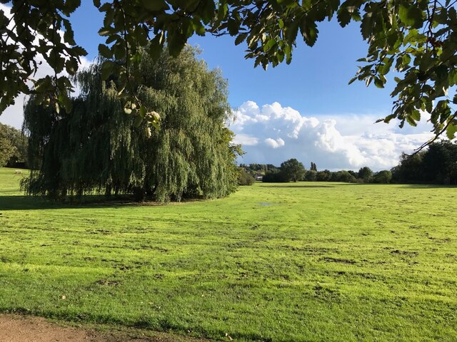
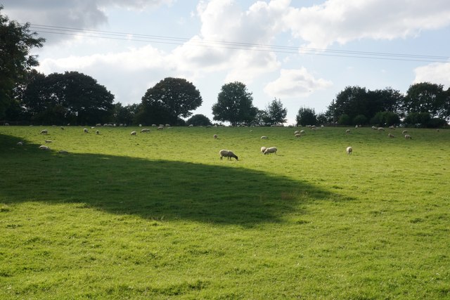
Bacon's Spring is a picturesque village nestled in the heart of Derbyshire, England. Located in the Peak District National Park, it is renowned for its stunning natural beauty and tranquil atmosphere. The village sits at an altitude of 300 meters, offering breathtaking views of the surrounding countryside.

One of the notable features of Bacon's Spring is its namesake spring, which is believed to have healing properties due to its high mineral content. The spring has been a source of fascination for both locals and tourists, who often visit to collect the fresh, pure water.

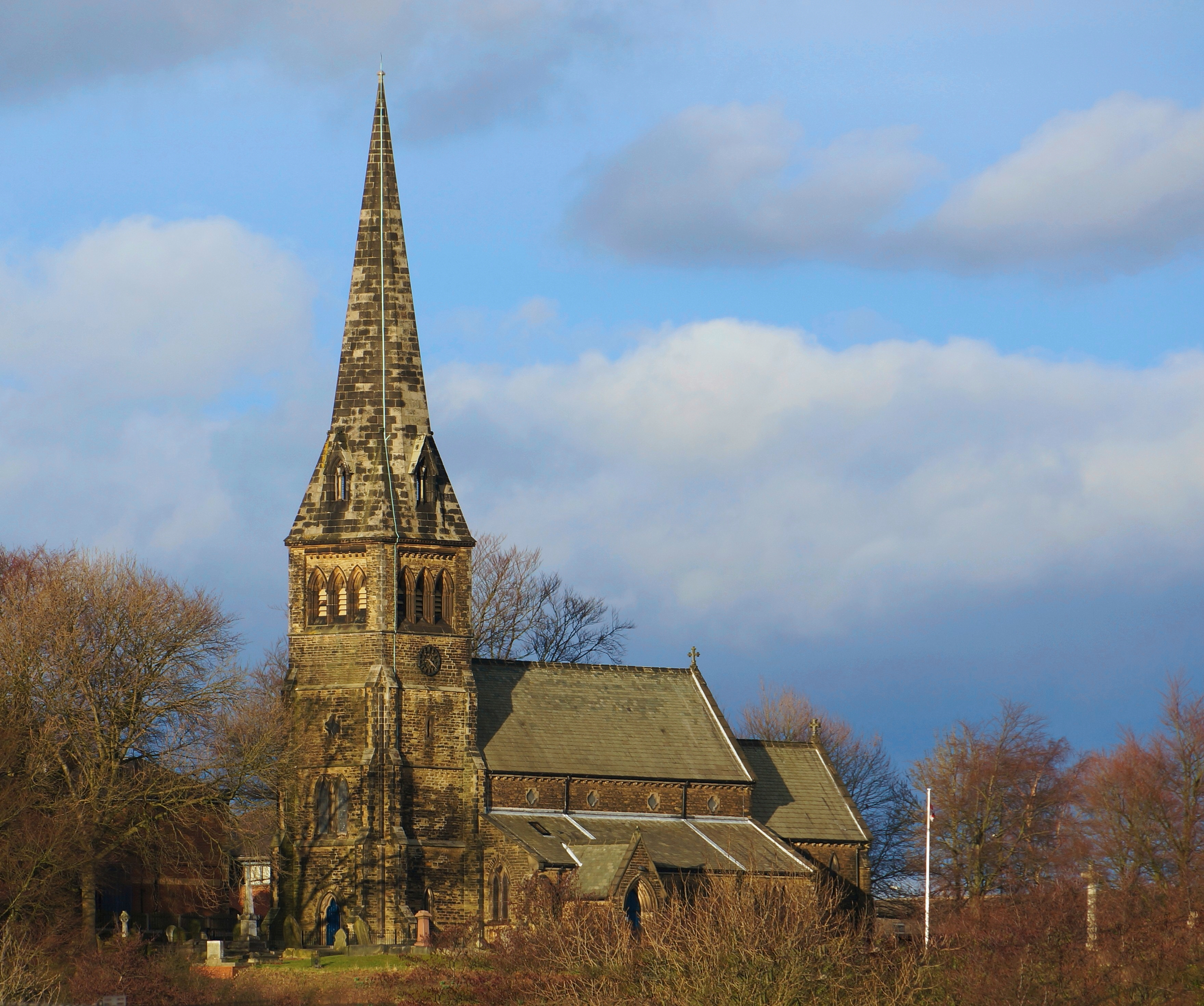
The village itself is characterized by its charming stone cottages, which date back to the 17th and 18th centuries. The architecture reflects the area's rich history and adds to the village's rustic charm. The streets are lined with well-maintained flower gardens, creating a colorful and inviting atmosphere.

Bacon's Spring is also a popular destination for outdoor enthusiasts. The village is surrounded by numerous walking trails and hiking routes, allowing visitors to explore the stunning Peak District landscape. The nearby Bacon's Spring Woods offer a serene setting for picnics and leisurely strolls.

Despite its small size, Bacon's Spring boasts a strong sense of community. The village hosts various events throughout the year, including a vibrant summer fair and a traditional Christmas market. Local businesses, including quaint tea rooms and craft shops, contribute to the village's unique character.

In conclusion, Bacon's Spring is a hidden gem in Derbyshire's countryside, offering visitors a tranquil escape and an opportunity to immerse themselves in the beauty of the Peak District. With its natural wonders and welcoming community, the village is a must-visit destination for those seeking a peaceful retreat.

If you have any feedback on the listing, please let us know in the comments section below.

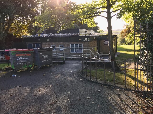
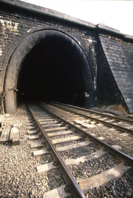
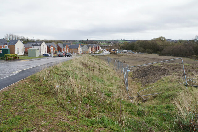
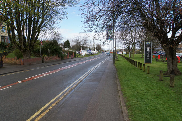
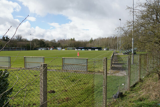
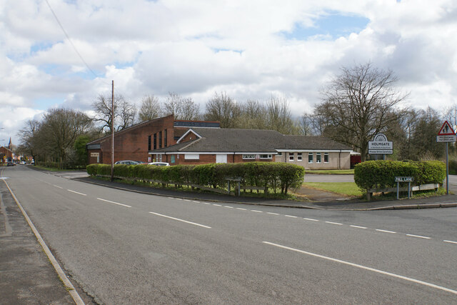
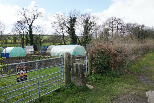
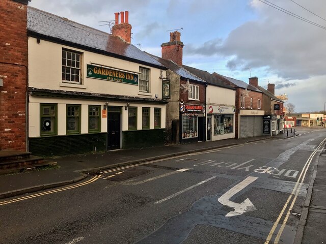
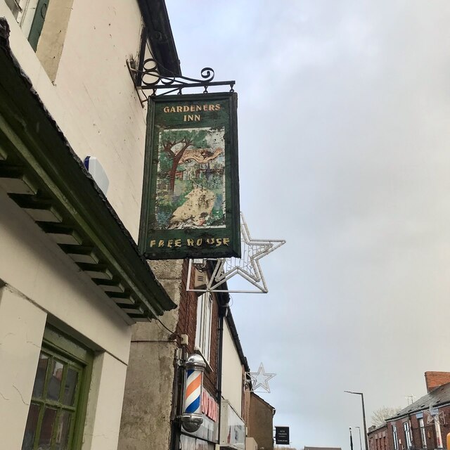
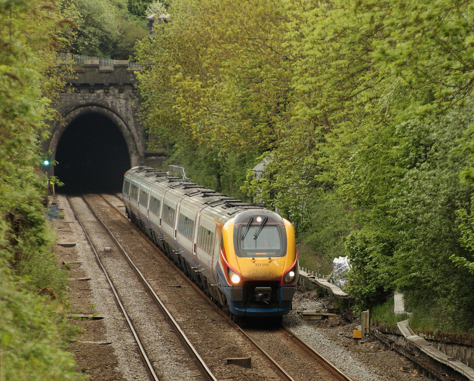
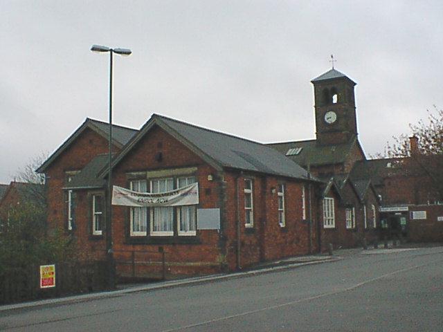
Bacon's Spring Images

Images are sourced within 2km of 53.15729/-1.4199054 or Grid Reference SK3862. Thanks to Geograph Open Source API. All images are credited.

Kenning Park
Kenning Park
Library near Kenning Park
South Western Portal of Clay Cross tunnel Unlike the Northern portal of this tunnel, that in the south west is a plain affair. The pin prick of light of the northern poral can just be made out.
South Western Portal of Clay Cross tunnel
Unlike the Northern portal of this tunnel, that in the south west is a plain affair. The pin prick of light of the northern poral can just be made out.
Egstow Park New housing on the edge of Clay Cross.
Egstow Park
New housing on the edge of Clay Cross.
The Six Halts A new pub built in 2016 to go alongside other new development on the edge of Clay Cross.
The Six Halts
A new pub built in 2016 to go alongside other new development on the edge of Clay Cross.
New retail development on the edge of Clay Cross A small development on the corner of the new road Farnsworth Drive.
New retail development on the edge of Clay Cross
A small development on the corner of the new road Farnsworth Drive.
Farnsworth Drive A new road built to assist new development, mainly the new Egstow Park housing estate on the left.
Farnsworth Drive
A new road built to assist new development, mainly the new Egstow Park housing estate on the left.
Memorial garden in Clay Cross The inscription reads: "In memory of all North East Derbyshire miners who lost their lives working to keep the home fires burning and the wheels of industry turning"
Memorial garden in Clay Cross
The inscription reads: "In memory of all North East Derbyshire miners who lost their lives working to keep the home fires burning and the wheels of industry turning"
The Constabulary The building is owned by Derbyshire County Council and occupied by their Countryside Service.
The Constabulary
The building is owned by Derbyshire County Council and occupied by their Countryside Service.
Tesco Extra in Clay Cross A large store for the town but it has a catchment area of everything between Chesterfield and Alfreton.
Tesco Extra in Clay Cross
A large store for the town but it has a catchment area of everything between Chesterfield and Alfreton.
High Street, Clay Cross This is the A61 shortly about to leave Clay Cross. The road misses most of the town which is off on the eastern side.
High Street, Clay Cross
This is the A61 shortly about to leave Clay Cross. The road misses most of the town which is off on the eastern side.
Football ground of Clay Cross Town FC The necessary requirement for sponsorship means that the ground is called the We Do More Than Print Ground, and the stand opposite is the Geoff Allen Pallets Stand.
Football ground of Clay Cross Town FC
The necessary requirement for sponsorship means that the ground is called the We Do More Than Print Ground, and the stand opposite is the Geoff Allen Pallets Stand.
Holmgate Evangelical Church Right on the edge of Clay Cross, the church is affiliated to the FIEC.
Holmgate Evangelical Church
Right on the edge of Clay Cross, the church is affiliated to the FIEC.
Coupe Lane The road marks the upper edge of the Holmgate housing estate.
Coupe Lane
The road marks the upper edge of the Holmgate housing estate.
Valley Road Allotments A site administered by Clay Cross Parish Council.
Valley Road Allotments
A site administered by Clay Cross Parish Council.
Gardeners Inn Market Street.  Looks closed.
Gardeners Inn
Market Street. Looks closed.
The sign of the Gardeners Inn Faded and showing advanced rot at the bottom.
The sign of the Gardeners Inn
Faded and showing advanced rot at the bottom.
Field of sheep on South Hill The eastern side of the South Hill ridge.
Field of sheep on South Hill
The eastern side of the South Hill ridge.
Show me another place!

Bacon's Spring is located at Grid Ref: SK3862 (Lat: 53.15729, Lng: -1.4199054)

Administrative County: Derbyshire

District: North East Derbyshire

Police Authority: Derbyshire

What 3 Words

///playful.glimmers.acquaint. Near Pilsley, Derbyshire

Nearby Locations

Bacon's Spring

Related Wikis

Nearby Amenities

Located within 500m of 53.15729,-1.4199054
Railway: tunnel_portal
Lat/Long: 53.1610858/-1.4196904
Post Box
Collection Times: Mo-Fr 09:00; Sa 07:00
Post Box Type: wall
Ref: S45 34D
Royal Cypher: GR
Royal Cypher Wikidata: Q33102273
Lat/Long: 53.1612565/-1.4221567
Bus Stop
Bus: yes
Public Transport: platform
Lat/Long: 53.1610661/-1.4225
Bench
Lat/Long: 53.1610095/-1.4224657
Bus Stop
Bus: yes
Public Transport: platform
Lat/Long: 53.1611278/-1.4225429
Ele: 123.8946533
Lat/Long: 53.161375/-1.4194762
Ele: 139
Lat/Long: 53.1573606/-1.4146143
Information: board
Tourism: information
Lat/Long: 53.1610168/-1.4225385
Barrier: stile
Steps: 0
Stile: stepover
Lat/Long: 53.1546904/-1.425033
Direction: 260
Generator Method: photovoltaic
Generator Output Electricity: yes
Generator Solar Modules: 20
Generator Source: solar
Generator Type: solar_photovoltaic_panel
Location: roof
Power: generator
Lat/Long: 53.1612981/-1.4169
Direction: 265
Generator Method: photovoltaic
Generator Output Electricity: yes
Generator Solar Modules: 6
Generator Source: solar
Generator Type: solar_photovoltaic_panel
Location: roof
Power: generator
Lat/Long: 53.159851/-1.4155957
Direction: 175
Generator Method: photovoltaic
Generator Output Electricity: yes
Generator Solar Modules: 3
Generator Source: solar
Generator Type: solar_photovoltaic_panel
Location: roof
Power: generator
Lat/Long: 53.1598712/-1.4156413
Bus Stop
St Clare's Convent
Bus: yes
Public Transport: platform
Lat/Long: 53.1581238/-1.4143469
Bus Stop
St Clare's Convent
Bus: yes
Public Transport: platform
Lat/Long: 53.1584527/-1.4145239
Direction: 175
Generator Method: photovoltaic
Generator Output Electricity: yes
Generator Solar Modules: 9
Generator Source: solar
Generator Type: solar_photovoltaic_panel
Location: roof
Power: generator
Lat/Long: 53.1613869/-1.4169164
Direction: 145
Generator Method: photovoltaic
Generator Output Electricity: yes
Generator Solar Modules: 12
Generator Source: solar
Generator Type: solar_photovoltaic_panel
Location: roof
Power: generator
Lat/Long: 53.1607494/-1.4227243
Direction: 145
Generator Method: photovoltaic
Generator Output Electricity: yes
Generator Solar Modules: 8
Generator Source: solar
Generator Type: solar_photovoltaic_panel
Location: roof
Power: generator
Lat/Long: 53.1607248/-1.4230042
Turning Circle
Lat/Long: 53.1571279/-1.4158309
Defibrillator
Access: yes
Defibrillator Location: On the outside wall of the house.
Emergency: defibrillator
Indoor: no
Lat/Long: 53.1608512/-1.4229292
The data included in this document is from www.openstreetmap.org. The data is made available under ODbL.

Have you been to Bacon's Spring?

Leave your review of Bacon's Spring below (or comments, questions and feedback).