Bacon's Green
Settlement in Suffolk Babergh
England
Bacon's Green
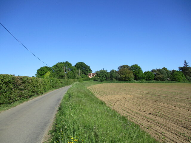
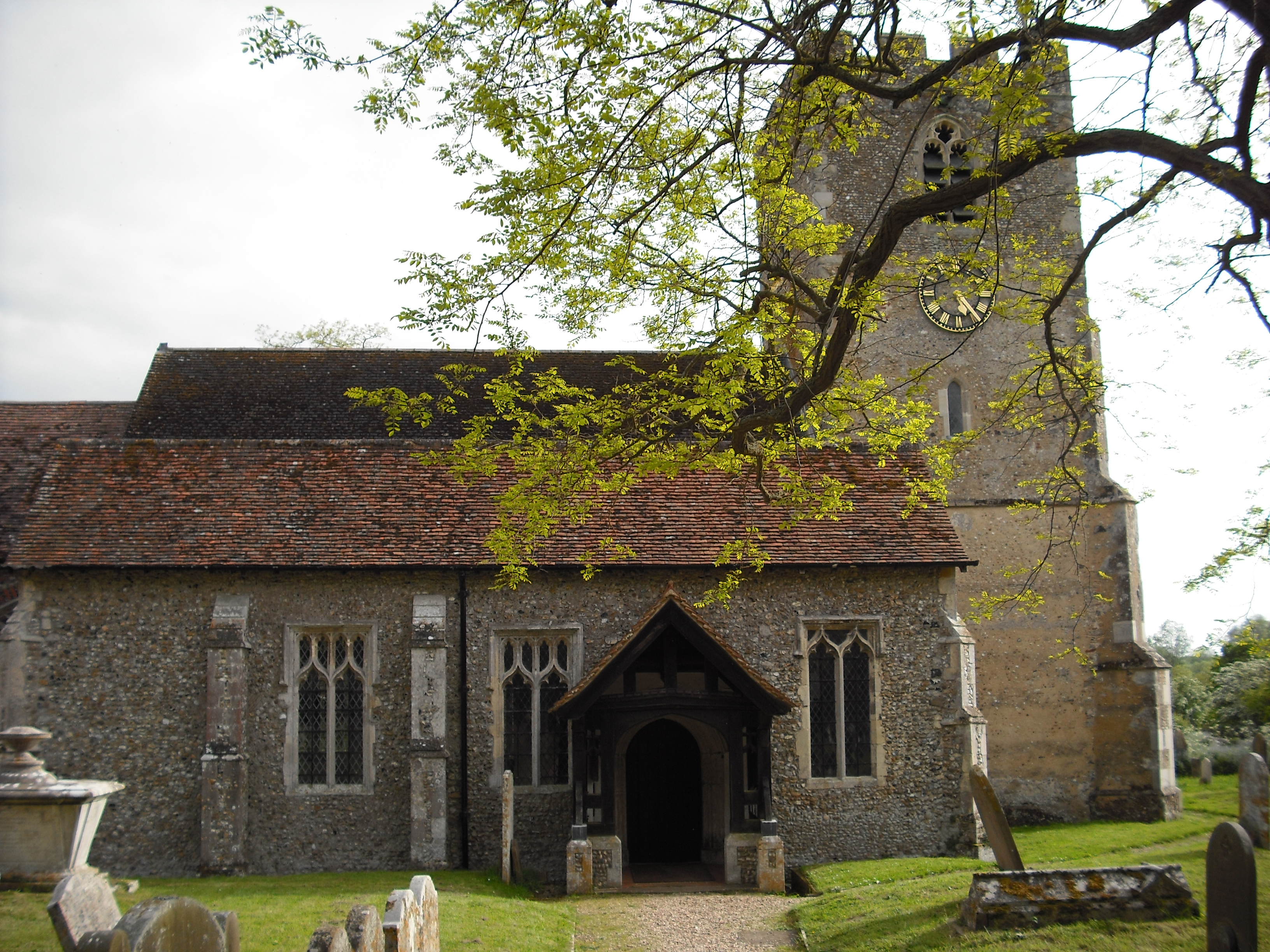
Bacon's Green is a small village located in Suffolk, England. With a population of just under 500 residents, it is nestled in the heart of the picturesque Suffolk countryside. The village is known for its charming and idyllic atmosphere, making it a popular destination for those seeking a peaceful retreat.
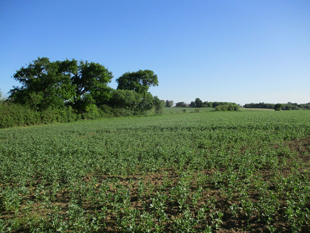
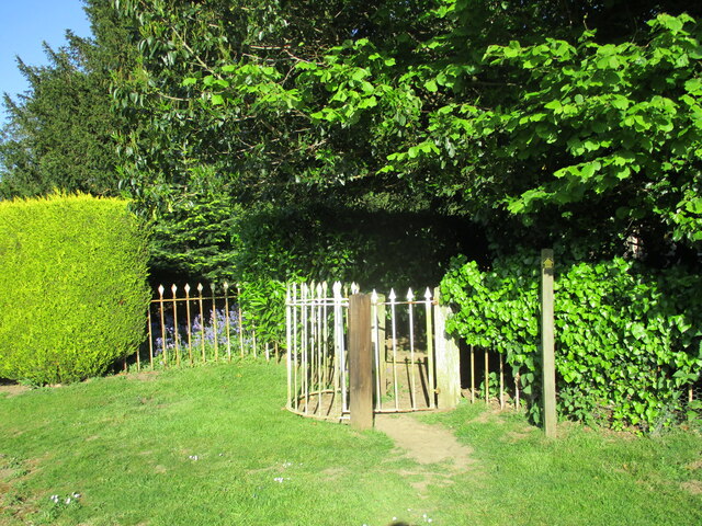
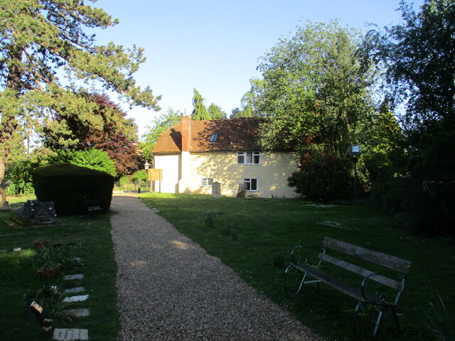
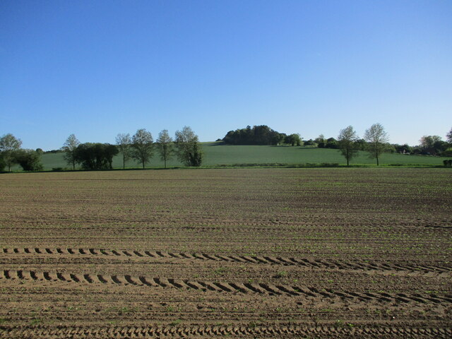
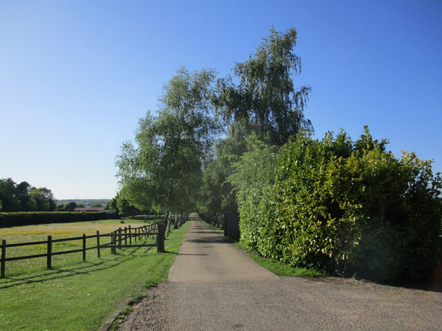
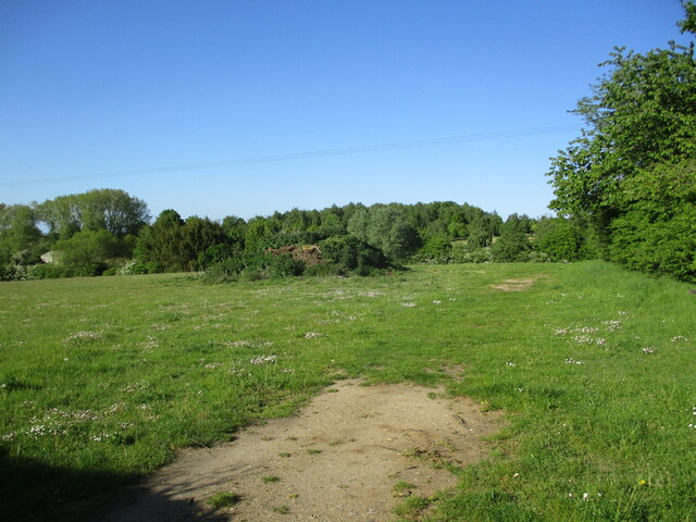
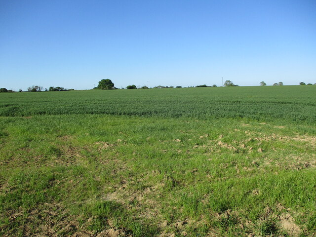
Surrounded by rolling green fields and meadows, Bacon's Green offers a tranquil setting for its residents and visitors. The village is characterized by its traditional architecture, with many well-preserved thatched cottages dating back to the 17th and 18th centuries. These quaint houses lend a sense of history and charm to the area.
Despite its small size, Bacon's Green boasts a strong sense of community. The village has a local pub, The Green Tavern, serving traditional British fare and providing a gathering place for locals to socialize. Additionally, there is a village hall which hosts various community events throughout the year, including fairs and fundraisers.
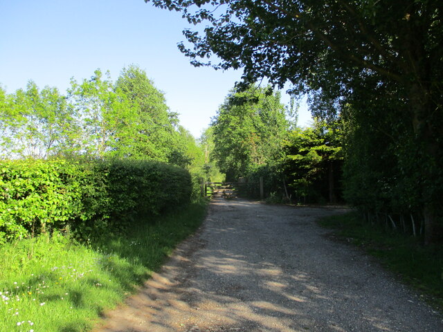
For nature enthusiasts, Bacon's Green offers ample opportunities for outdoor activities. The village is surrounded by beautiful walking trails, allowing residents and visitors to explore the stunning countryside and enjoy the sights and sounds of nature. The nearby River Deben is a popular spot for fishing and bird-watching.
Although Bacon's Green may be a small village, its charm, sense of community, and natural beauty make it a truly special place to visit or call home. Whether it's to escape the hustle and bustle of city life or to immerse oneself in the beauty of the Suffolk countryside, Bacon's Green offers a serene and welcoming environment for all who venture there.
If you have any feedback on the listing, please let us know in the comments section below.
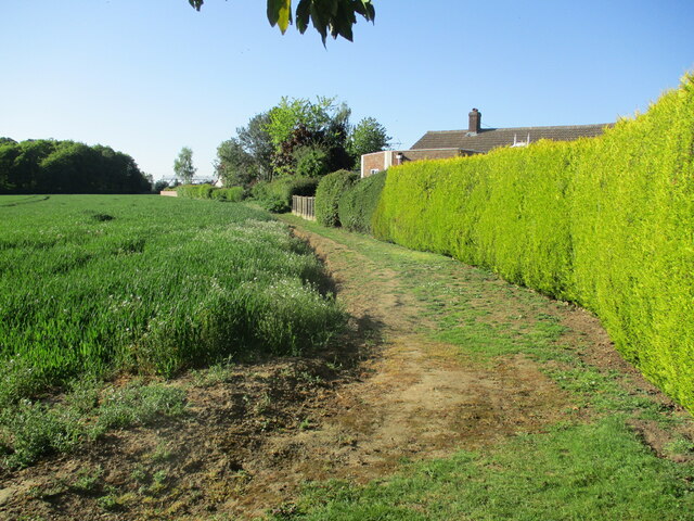
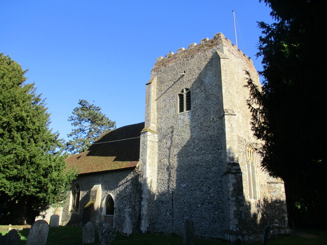
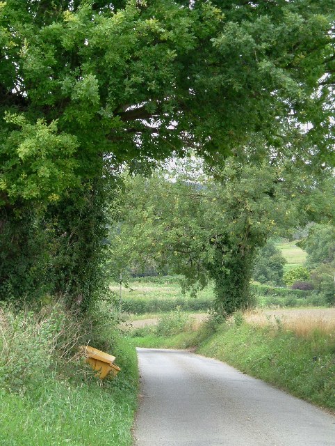
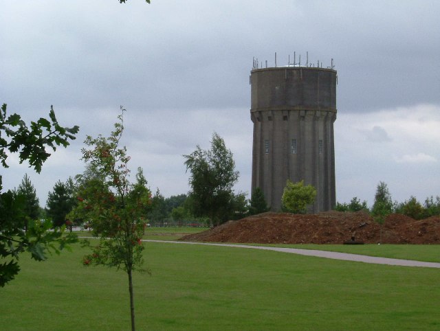
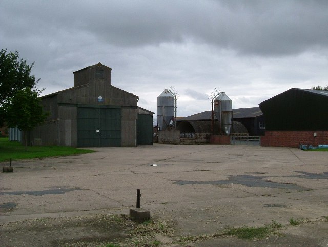
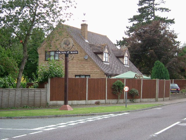
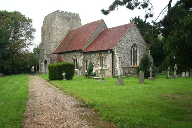
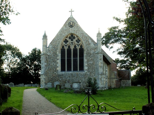
Bacon's Green Images
Images are sourced within 2km of 51.995833/0.98884037 or Grid Reference TM0537. Thanks to Geograph Open Source API. All images are credited.
Bacon's Green is located at Grid Ref: TM0537 (Lat: 51.995833, Lng: 0.98884037)
Administrative County: Suffolk
District: Babergh
Police Authority: Suffolk
What 3 Words
///nursery.wisdom.mastering. Near East Bergholt, Suffolk
Nearby Locations
Related Wikis
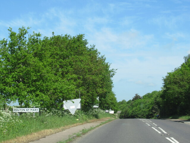
Holton St Mary
Holton St Mary is a village and civil parish in Suffolk, England. Located on the B1070 around five miles south-west of Ipswich and half a mile from the...
Raydon
Raydon is a village and civil parish in Suffolk, England. Located around two miles south-east of Hadleigh, it is part of Babergh district. The parish also...

Wenham Magna
Wenham Magna, also known as Great Wenham, is a village and a civil parish in the Babergh district of Suffolk in eastern England. The parish also contains...
Higham, Babergh
Higham is a village and civil parish in Suffolk, England. Located on the eastern bank of the River Brett (which defines the parish's western boundary)...
Nearby Amenities
Located within 500m of 51.995833,0.98884037Have you been to Bacon's Green?
Leave your review of Bacon's Green below (or comments, questions and feedback).