Baconsthorpe

Settlement in Norfolk Breckland

England

Baconsthorpe

Arriving at Attleborough Viewed on a journey between Thetford and Norwich on a dull summer day.
Arriving at Attleborough Credit: Mary and Angus Hogg

Baconsthorpe is a small village located in the county of Norfolk, England. Situated approximately 4 miles north-west of Holt, this rural settlement offers a quiet and picturesque setting for its residents and visitors alike. The village is surrounded by beautiful countryside, with rolling hills and fields that showcase the natural charm of the Norfolk landscape.

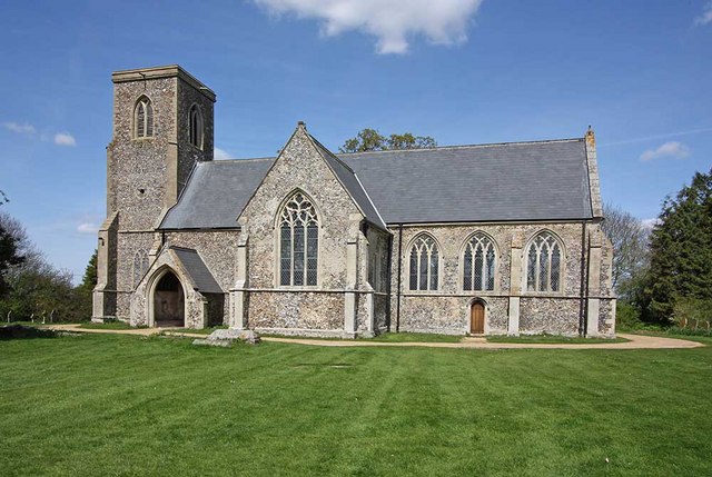
Baconsthorpe is known for its historic significance, primarily due to the presence of Baconsthorpe Castle. This medieval ruin stands as a reminder of the village's rich past and attracts tourists interested in exploring its architectural remnants. The castle was originally built in the 15th century and was once a grand manor house. Today, visitors can wander through the ruins, admiring the remains of the fortified walls and towers that once stood proudly.

In addition to the castle, Baconsthorpe is home to a small but tight-knit community. The village features a scattering of traditional cottages and houses, creating a charming and welcoming atmosphere. The local community is known for its friendliness and community spirit, and residents often come together for various events and activities.

While Baconsthorpe may be a small village, it benefits from its proximity to larger towns such as Holt and the coastal town of Cromer. This allows residents to access a wider range of amenities, including shops, schools, and healthcare facilities.

Overall, Baconsthorpe offers a peaceful and historic escape for those seeking a taste of rural Norfolk life, with its idyllic setting, rich history, and close-knit community.

If you have any feedback on the listing, please let us know in the comments section below.
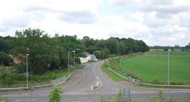
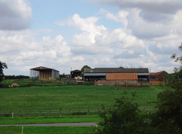
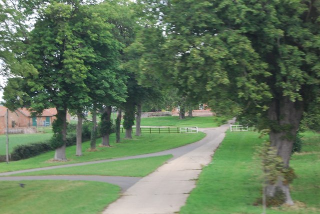
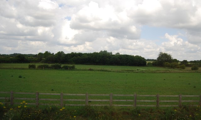
Baconsthorpe Images

Images are sourced within 2km of 52.523755/1.0079117 or Grid Reference TM0496. Thanks to Geograph Open Source API. All images are credited.

Arriving at Attleborough Viewed on a journey between Thetford and Norwich on a dull summer day.
Arriving at Attleborough
Viewed on a journey between Thetford and Norwich on a dull summer day.
Attleborough: Marketing suite for the new White House Park development
Attleborough: Crop and two wind turbines
Study of a Gasoline Station Sainsbury's, Attleborough.

 This photograph is part of a series taken in homage to the American artist Ed Ruscha's 1963 publication of 'Twentysix Gasoline Stations'.
 More properly known as filling stations in the UK, I am attempting to photograph as many as possible to mark the sixty year anniversary.
Study of a Gasoline Station
Sainsbury's, Attleborough. This photograph is part of a series taken in homage to the American artist Ed Ruscha's 1963 publication of 'Twentysix Gasoline Stations'. More properly known as filling stations in the UK, I am attempting to photograph as many as possible to mark the sixty year anniversary.
Study of a Gasoline Station Esso, Attleborough.

 This photograph is part of a series taken in homage to the American artist Ed Ruscha's 1963 publication of 'Twentysix Gasoline Stations'.
 More properly known as filling stations in the UK, I am attempting to photograph as many as possible to mark the sixty year anniversary.
Study of a Gasoline Station
Esso, Attleborough. This photograph is part of a series taken in homage to the American artist Ed Ruscha's 1963 publication of 'Twentysix Gasoline Stations'. More properly known as filling stations in the UK, I am attempting to photograph as many as possible to mark the sixty year anniversary.
Slip road off the A11, Workhouse Common
Footbridge across the A11
B1077, Attleborough The B1077 is a 57 mile long rural road from Ipswich to Swaffham.
It starts in Ipswich town centre and heads north. It crosses a railway line via a level crossing in Westerfield and then crosses the B1078 near Ashbocking. At Peats Corner it multiplexes west along the A1120 for a short distance before regaining its number and going through Debenham and Eye before crossing the River Waveney into Norfolk and reaching the A1066 on the edge of Diss.
The B1077 continued west from Caston into Watton and thence to Swaffham. During World War II, the road was diverted to Carbrooke Hall as the original road was severed by the building of RAF Watton. The Watton to Swaffham road was declassified in the 1990s.
B1077, Attleborough
The B1077 is a 57 mile long rural road from Ipswich to Swaffham. It starts in Ipswich town centre and heads north. It crosses a railway line via a level crossing in Westerfield and then crosses the B1078 near Ashbocking. At Peats Corner it multiplexes west along the A1120 for a short distance before regaining its number and going through Debenham and Eye before crossing the River Waveney into Norfolk and reaching the A1066 on the edge of Diss. The B1077 continued west from Caston into Watton and thence to Swaffham. During World War II, the road was diverted to Carbrooke Hall as the original road was severed by the building of RAF Watton. The Watton to Swaffham road was declassified in the 1990s.
Deopham Rd, Baconthorpe
Farm buildings, Attleborough Hall
Driveway to Attleborough Hall
Field by the A11
Field by the A11
Norwich Rd Bridge (B1077), A11 The A11 is a major road in Eastern England. It runs roughly north east for 111 miles from London to Norwich, With the M11 opening in the 1970s and then the A12 extension in 1999, a lengthy section has been downgraded between the suburbs of east London and the north-west corner of the county of Essex. It also overlaps with the A14 on the Newmarket bypass.
<span class="nowrap"><a title="http://www.sabre-roads.org.uk/wiki/index.php?title=A11" rel="nofollow ugc noopener" href="http://www.sabre-roads.org.uk/wiki/index.php?title=A11">Link</a><img style="margin-left:2px;" alt="External link" title="External link - shift click to open in new window" src="https://s1.geograph.org.uk/img/external.png" width="10" height="10"/></span>
Norwich Rd Bridge (B1077), A11
The A11 is a major road in Eastern England. It runs roughly north east for 111 miles from London to Norwich, With the M11 opening in the 1970s and then the A12 extension in 1999, a lengthy section has been downgraded between the suburbs of east London and the north-west corner of the county of Essex. It also overlaps with the A14 on the Newmarket bypass. LinkExternal link
Overbridge at Besthorne The A11 is a major road in Eastern England. It runs roughly north east for 111 miles from London to Norwich, With the M11 opening in the 1970s and then the A12 extension in 1999, a lengthy section has been downgraded between the suburbs of east London and the north-west corner of the county of Essex. It also overlaps with the A14 on the Newmarket bypass.
<span class="nowrap"><a title="http://www.sabre-roads.org.uk/wiki/index.php?title=A11" rel="nofollow ugc noopener" href="http://www.sabre-roads.org.uk/wiki/index.php?title=A11">Link</a><img style="margin-left:2px;" alt="External link" title="External link - shift click to open in new window" src="https://s1.geograph.org.uk/img/external.png" width="10" height="10"/></span>
Overbridge at Besthorne
The A11 is a major road in Eastern England. It runs roughly north east for 111 miles from London to Norwich, With the M11 opening in the 1970s and then the A12 extension in 1999, a lengthy section has been downgraded between the suburbs of east London and the north-west corner of the county of Essex. It also overlaps with the A14 on the Newmarket bypass. LinkExternal link
Sweeping curve, A11 The A11 is a major road in Eastern England. It runs roughly north east for 111 miles from London to Norwich, With the M11 opening in the 1970s and then the A12 extension in 1999, a lengthy section has been downgraded between the suburbs of east London and the north-west corner of the county of Essex. It also overlaps with the A14 on the Newmarket bypass.
<span class="nowrap"><a title="http://www.sabre-roads.org.uk/wiki/index.php?title=A11" rel="nofollow ugc noopener" href="http://www.sabre-roads.org.uk/wiki/index.php?title=A11">Link</a><img style="margin-left:2px;" alt="External link" title="External link - shift click to open in new window" src="https://s1.geograph.org.uk/img/external.png" width="10" height="10"/></span>
Sweeping curve, A11
The A11 is a major road in Eastern England. It runs roughly north east for 111 miles from London to Norwich, With the M11 opening in the 1970s and then the A12 extension in 1999, a lengthy section has been downgraded between the suburbs of east London and the north-west corner of the county of Essex. It also overlaps with the A14 on the Newmarket bypass. LinkExternal link
Slip road off Queen's Rd
Mast by the A11
Mast by the A11
Footbridge over the A11 The A11 is a major road in Eastern England. It runs roughly north east for 111 miles from London to Norwich, With the M11 opening in the 1970s and then the A12 extension in 1999, a lengthy section has been downgraded between the suburbs of east London and the north-west corner of the county of Essex. It also overlaps with the A14 on the Newmarket bypass.
<span class="nowrap"><a title="http://www.sabre-roads.org.uk/wiki/index.php?title=A11" rel="nofollow ugc noopener" href="http://www.sabre-roads.org.uk/wiki/index.php?title=A11">Link</a><img style="margin-left:2px;" alt="External link" title="External link - shift click to open in new window" src="https://s1.geograph.org.uk/img/external.png" width="10" height="10"/></span>
Footbridge over the A11
The A11 is a major road in Eastern England. It runs roughly north east for 111 miles from London to Norwich, With the M11 opening in the 1970s and then the A12 extension in 1999, a lengthy section has been downgraded between the suburbs of east London and the north-west corner of the county of Essex. It also overlaps with the A14 on the Newmarket bypass. LinkExternal link
Show me another place!

Baconsthorpe is located at Grid Ref: TM0496 (Lat: 52.523755, Lng: 1.0079117)

Administrative County: Norfolk

District: Breckland

Police Authority: Norfolk

What 3 Words

///candidate.posts.starred. Near Attleborough, Norfolk

Related Wikis

Nearby Amenities

Located within 500m of 52.523755,1.0079117
Traffic Signals
Lat/Long: 52.5213473/1.011384
Crossing
Tactile Paving: yes
Lat/Long: 52.5222276/1.0102825
Expressway: yes
Lat/Long: 52.5215718/1.0123406
Crossing
Crossing: traffic_signals
Crossing Signals: yes
Tactile Paving: yes
Lat/Long: 52.522191/1.009863
Turning Circle
Source: Bing
Lat/Long: 52.5200184/1.0101124
Barrier: cycle_barrier
Bicycle: no
Lat/Long: 52.519784/1.0090538
Turning Circle
Source: Bing
Lat/Long: 52.5254883/1.0048282
Communication Mobile Phone: yes
Man Made: mast
Material: metal
Operator: O2-UK;Vodafone UK;EE
Tower Construction: lattice
Tower Type: communication
Lat/Long: 52.5207733/1.0071899
Traffic Signals
Lat/Long: 52.5213453/1.0117627
Crossing
Crossing: traffic_signals
Tactile Paving: yes
Lat/Long: 52.521298/1.01176
Give Way
Lat/Long: 52.5210748/1.0099618
Traffic Signals
Traffic Signals Direction: forward
Lat/Long: 52.5220097/1.0103642
Traffic Signals
Lat/Long: 52.5221324/1.009964
Traffic Signals
Lat/Long: 52.5221555/1.0098379
Crossing
Tactile Paving: yes
Lat/Long: 52.5221899/1.0104513
Traffic Signals
Lat/Long: 52.5222137/1.0104924
Crossing
Crossing: traffic_signals
Crossing Signals: yes
Tactile Paving: yes
Lat/Long: 52.5222329/1.0100182
Traffic Signals
Traffic Signals Direction: forward
Lat/Long: 52.5222569/1.0099805
Crossing
Crossing: traffic_signals
Tactile Paving: yes
Lat/Long: 52.521398/1.0115678
Give Way
Lat/Long: 52.519727/1.0087323
Entrance: main
Lat/Long: 52.5198343/1.009059
Give Way
Lat/Long: 52.5207109/1.009963
Give Way
Lat/Long: 52.5210716/1.0102741
The data included in this document is from www.openstreetmap.org. The data is made available under ODbL.

Have you been to Baconsthorpe?

Leave your review of Baconsthorpe below (or comments, questions and feedback).