Backmuir of Liff

Settlement in Angus

Scotland

Backmuir of Liff

Walking in Camperdown Camperdown Country Park used to be a golf course. Now the former greens are wild meadows with narrow paths mown into them for convenient walking. Over and over again one encounters these green lanes between tall trees. Lots of dog walkers around, but also lots of space to get lost.
Walking in Camperdown Credit: Aleks Scholz

Backmuir of Liff is a small rural settlement located in the Angus region of Scotland. Situated approximately 5 miles northwest of Dundee, it is surrounded by picturesque countryside and offers a tranquil and idyllic setting for its residents.

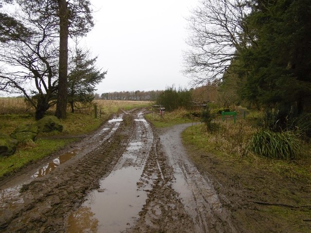
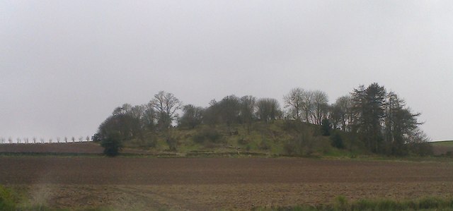
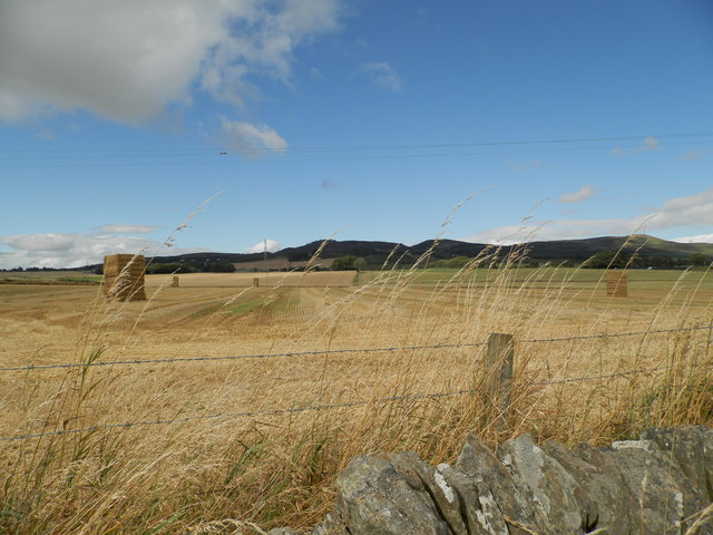
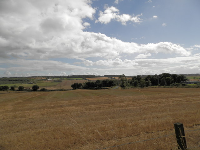
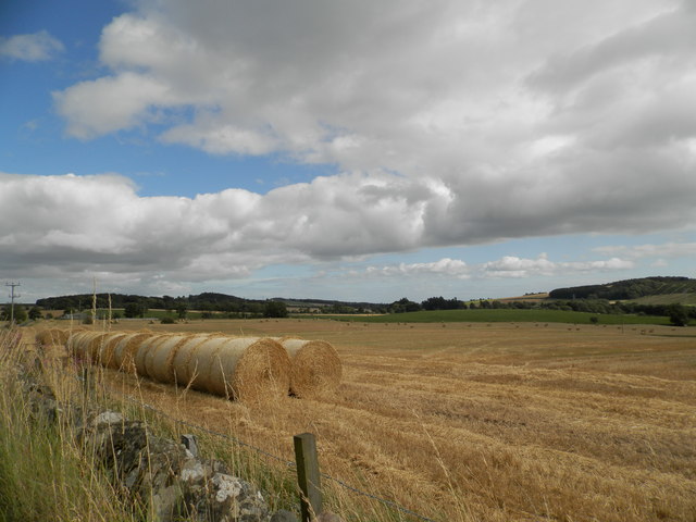
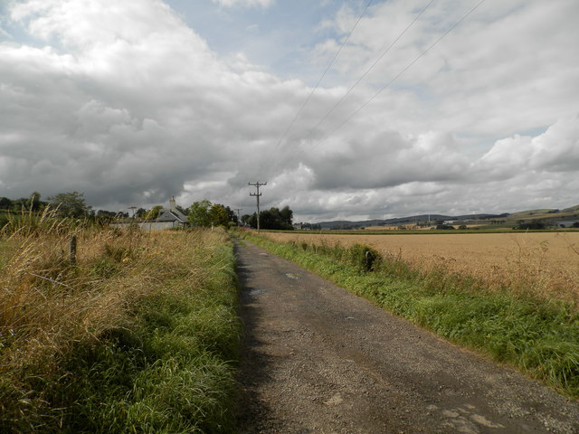
The area is primarily known for its agricultural heritage, with vast farmlands and fields dominating the landscape. The fertile soil and favorable climate make it an ideal location for farming, and the local economy heavily relies on agriculture.

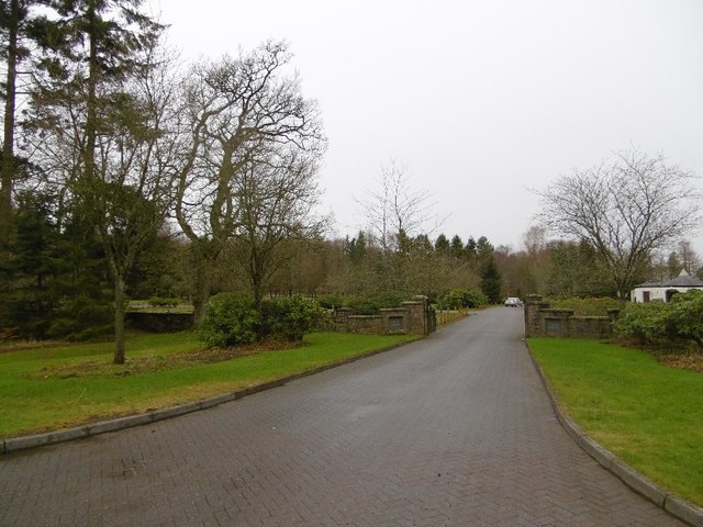
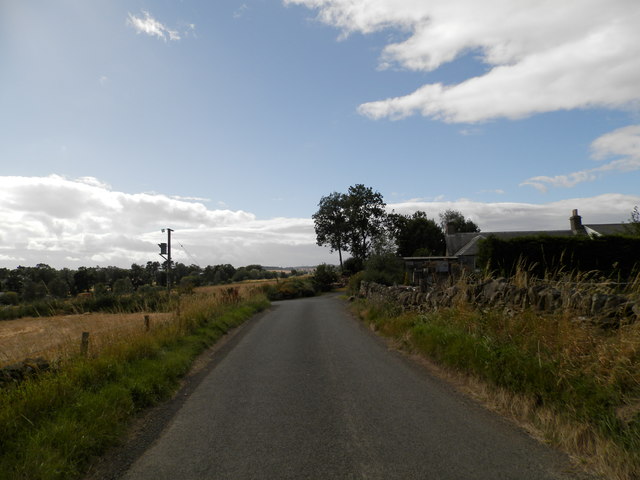
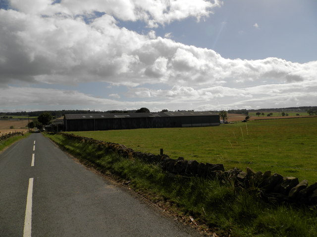
Backmuir of Liff itself is a small community, consisting mainly of residential properties and a few local amenities. The settlement is characterized by charming stone-built cottages and traditional farmhouses, which reflect its historical roots.

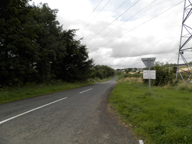
Despite its rural nature, the village is conveniently connected to nearby towns and cities. The A90 road runs close by, providing easy access to Dundee and other major destinations in the region. This makes Backmuir of Liff an attractive place to live for those seeking a peaceful countryside lifestyle while still having access to urban amenities.

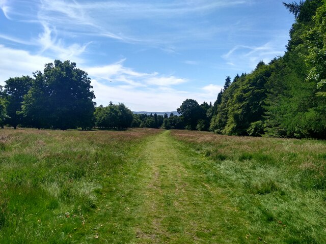
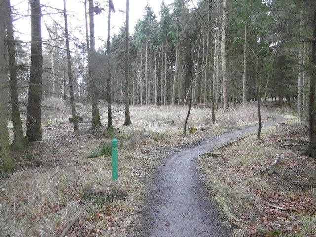
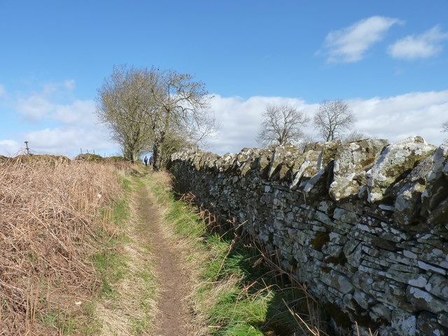
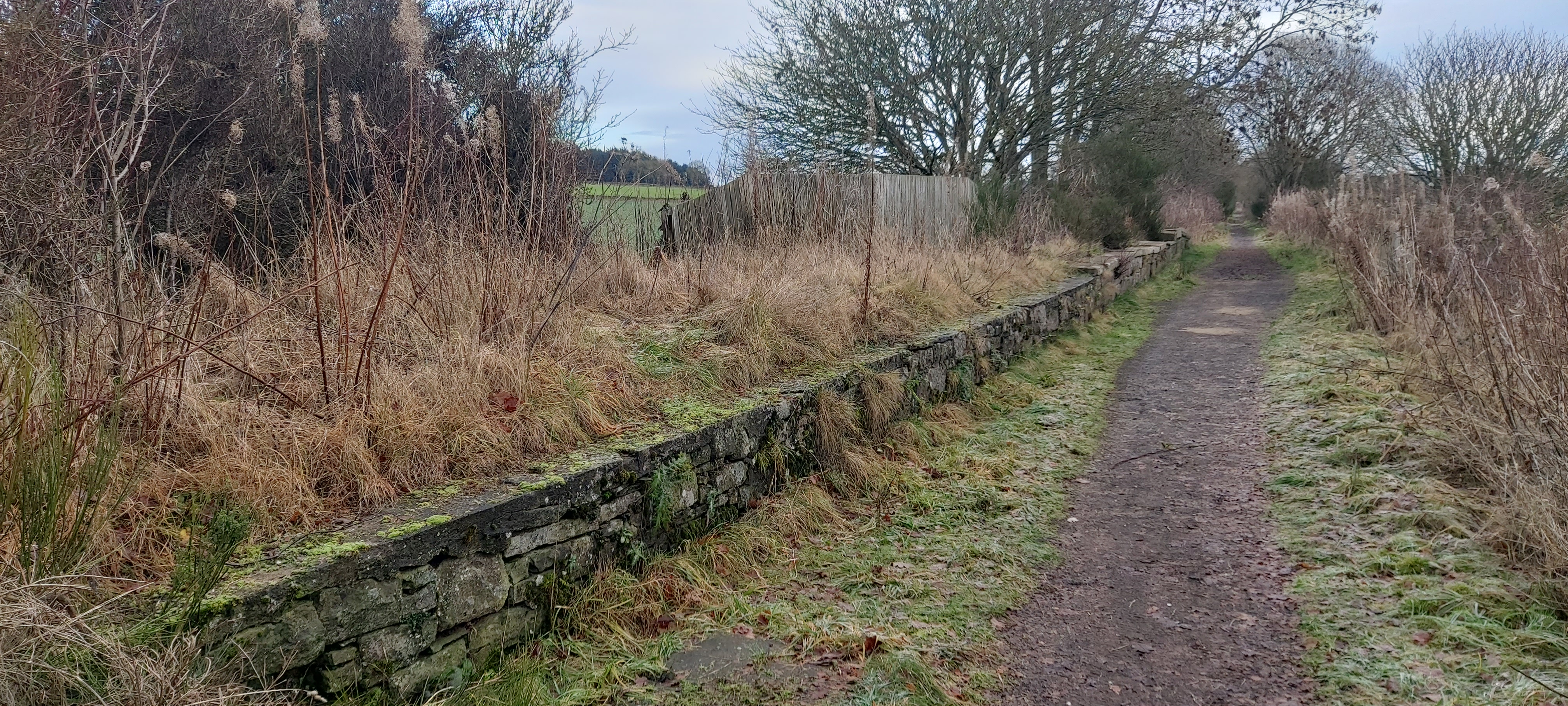
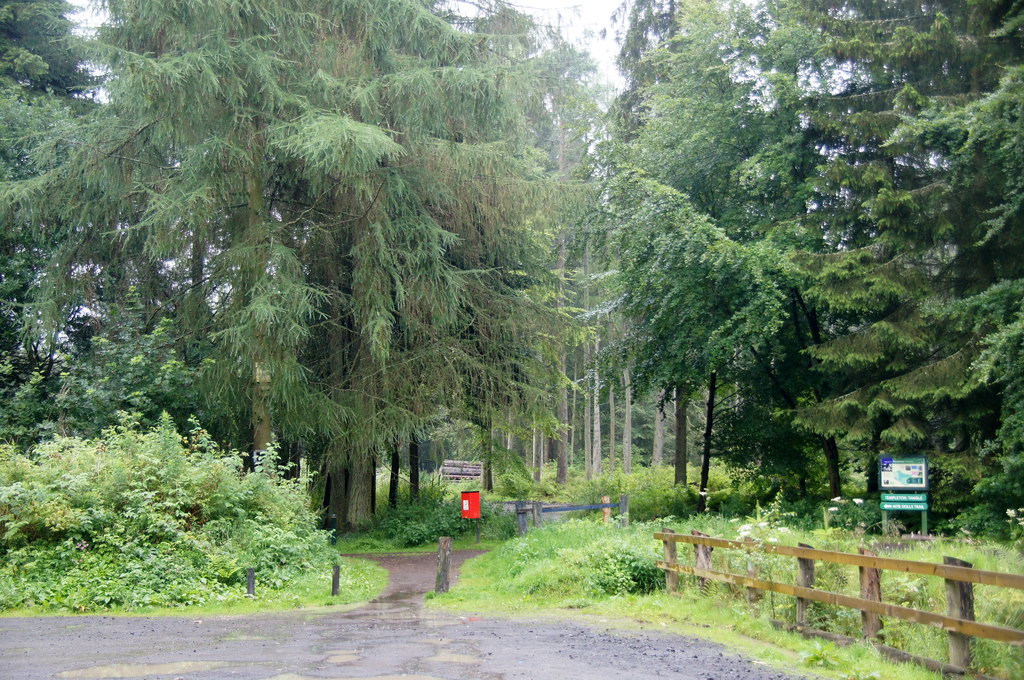
The surrounding area offers plenty of opportunities for outdoor activities and exploration. Residents and visitors can enjoy scenic walks, cycling routes, and even fishing in the nearby River Tay. Additionally, the village is within close proximity to popular tourist attractions such as Glamis Castle and the Dundee Contemporary Arts Center.

Overall, Backmuir of Liff is a charming rural settlement in Angus, Scotland, offering a peaceful and picturesque environment for its residents and visitors alike.

If you have any feedback on the listing, please let us know in the comments section below.

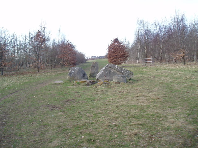
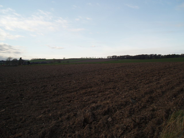
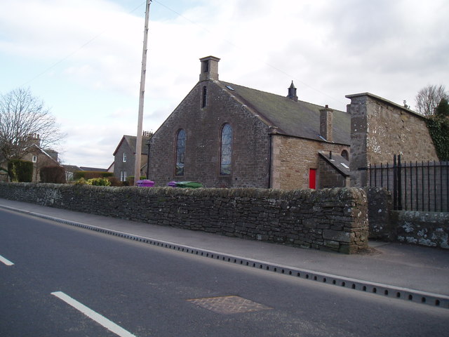
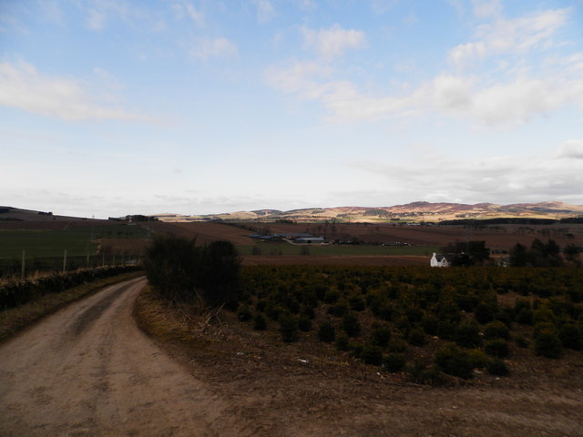
Backmuir of Liff Images

Images are sourced within 2km of 56.502841/-3.0658689 or Grid Reference NO3435. Thanks to Geograph Open Source API. All images are credited.

Walking in Camperdown Camperdown Country Park used to be a golf course. Now the former greens are wild meadows with narrow paths mown into them for convenient walking. Over and over again one encounters these green lanes between tall trees. Lots of dog walkers around, but also lots of space to get lost.
Walking in Camperdown
Camperdown Country Park used to be a golf course. Now the former greens are wild meadows with narrow paths mown into them for convenient walking. Over and over again one encounters these green lanes between tall trees. Lots of dog walkers around, but also lots of space to get lost.
Birkhill Cemetery
Birkhill Cemetery
Path, Templeton Woods Towards the carpark.
Path, Templeton Woods
Towards the carpark.
Edge of Templeton Woods A field entrance and path in the direction of Birkhill.
Edge of Templeton Woods
A field entrance and path in the direction of Birkhill.
Standing stone at Woodside of Stoneygroves Situated at an entrance to Backmuir Wood, the standing stone is surrounded by large stones and some recumbent stones.
Standing stone at Woodside of Stoneygroves
Situated at an entrance to Backmuir Wood, the standing stone is surrounded by large stones and some recumbent stones.
Field at Backmuir Wood
Muirhead Church The church was built following The Disruption of 1843. Local stone was used and transported by local farmers. The church is linked to St Marnock's Church, Fowlis Easter, Liff Church and Lundie Church.
Muirhead Church
The church was built following The Disruption of 1843. Local stone was used and transported by local farmers. The church is linked to St Marnock's Church, Fowlis Easter, Liff Church and Lundie Church.
Christmas tree plantation at Westmarch
An interesting looking hill seen from the Birkie Inn
Stone wall alongside the Logan The Logan being the name of this old cattle drovers' track.
Stone wall alongside the Logan
The Logan being the name of this old cattle drovers' track.
Backmuir Wood Southern fringe of the forested area.
Backmuir Wood
Southern fringe of the forested area.
Minor road at Templelands
Field at Templelands Neat straw bales in a field at Templelands to south of Sidlaws.
Field at Templelands
Neat straw bales in a field at Templelands to south of Sidlaws.
Field at Templelands The buildings of Templeton (in adjacent grid square) can be seen to centre right of image.
Field at Templelands
The buildings of Templeton (in adjacent grid square) can be seen to centre right of image.
Round bales in field near Templelands
Templeton Farm
Templeton Farm
Track to North Mains of Liff
Minor road heading towards East Adamston Mill
Show me another place!

Backmuir of Liff is located at Grid Ref: NO3435 (Lat: 56.502841, Lng: -3.0658689)

Unitary Authority: Angus

Police Authority: Tayside

What 3 Words

///picturing.colonies.token. Near Muirhead, Angus

Nearby Locations

Backmuir of Liff Dronley

Related Wikis

Nearby Amenities

Located within 500m of 56.502841,-3.0658689
Power: tower
Lat/Long: 56.5010358/-3.0585758
Power: tower
Lat/Long: 56.5046329/-3.0640079
Power: tower
Lat/Long: 56.5047206/-3.0593366
Power: tower
Lat/Long: 56.5044819/-3.0726017
Power: tower
Lat/Long: 56.5045708/-3.0684282
Backmuir of Liff
Place: hamlet
Lat/Long: 56.5005482/-3.0696624
South Dronley
Place: hamlet
Lat/Long: 56.504061/-3.067021
Pyotdykes
Place: isolated_dwelling
Lat/Long: 56.501022/-3.0600043
Power: pole
Lat/Long: 56.5067954/-3.0690902
Power: pole
Lat/Long: 56.5061297/-3.0687956
Power: pole
Lat/Long: 56.5055049/-3.0685062
Power: pole
Lat/Long: 56.5050427/-3.0683064
Power: pole
Lat/Long: 56.5014204/-3.0723532
Power: pole
Lat/Long: 56.5013725/-3.0709125
The data included in this document is from www.openstreetmap.org. The data is made available under ODbL.

Have you been to Backmuir of Liff?

Leave your review of Backmuir of Liff below (or comments, questions and feedback).