Backmuir

Settlement in Angus

Scotland

Backmuir

Chapel Road near Gagie Looking northward.
Chapel Road near Gagie Credit: Peter Wood

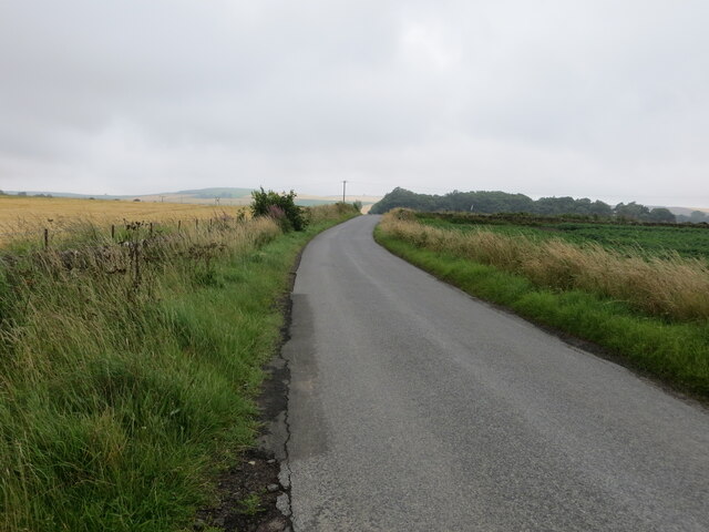
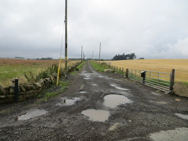
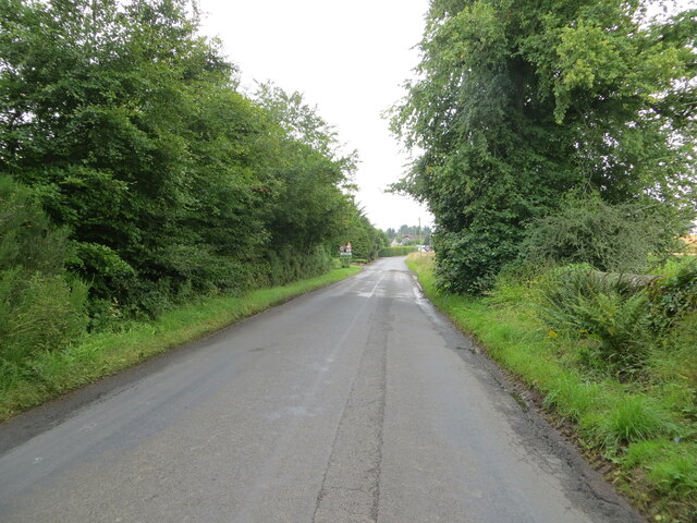
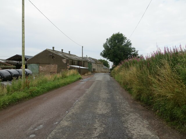
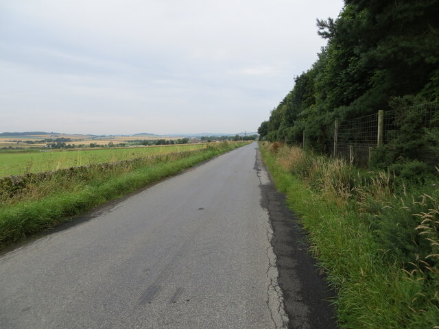
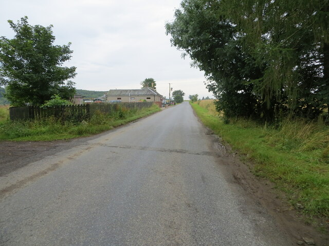
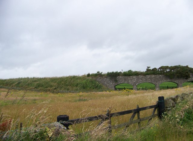
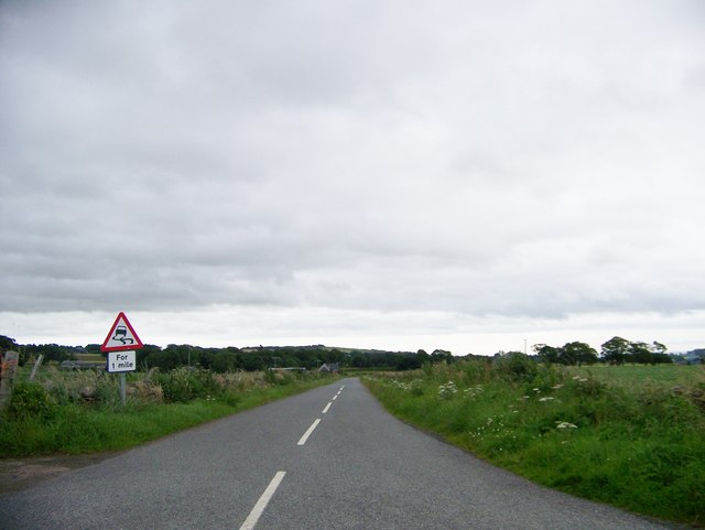
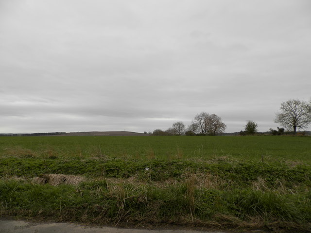
Backmuir is a small rural area located in the Angus region of Scotland. Situated approximately 3 miles northeast of Forfar, it is surrounded by picturesque farmland and rolling hills. Backmuir is known for its tranquil and idyllic setting, making it a popular destination for those seeking a peaceful retreat.

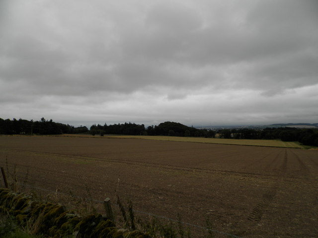
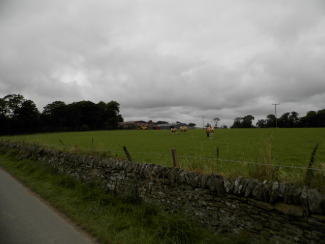
The area is predominantly agricultural, with many farms dotting the landscape and cultivating crops such as barley, wheat, and potatoes. The fertile soil and favorable climate contribute to the success of the local farming industry. As a result, agriculture plays a significant role in the economy of Backmuir and the wider Angus region.

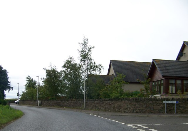
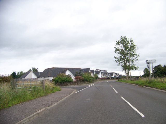
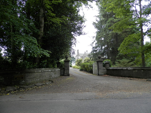
Despite its rural nature, Backmuir benefits from its close proximity to Forfar, which provides essential amenities and services. Residents of Backmuir have easy access to schools, healthcare facilities, and shopping centers, ensuring a high quality of life.

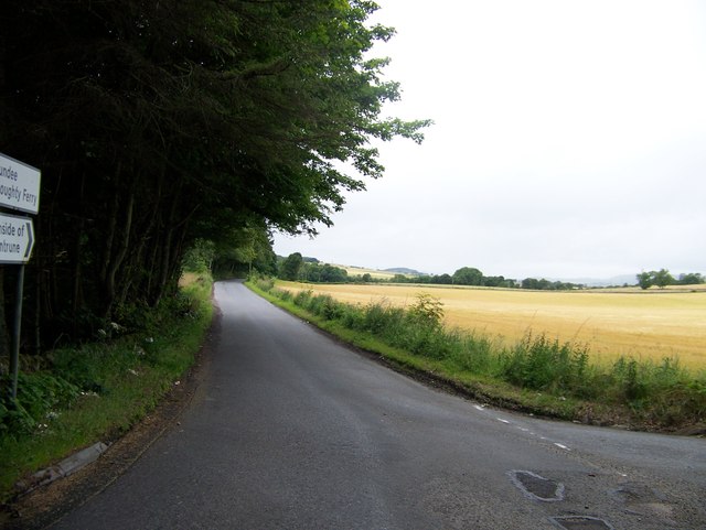
For outdoor enthusiasts, Backmuir offers ample opportunities for exploration and recreation. The surrounding countryside is ideal for long walks, cycling, and horse riding, with various trails and paths to follow. In addition, the area is home to several nature reserves and wildlife habitats, providing ample opportunities for birdwatching and wildlife spotting.

Backmuir is a close-knit community where residents enjoy a strong sense of community spirit. The area's peaceful ambiance, coupled with its stunning natural beauty, makes Backmuir an attractive place to live for those seeking a rural lifestyle within easy reach of urban amenities.

If you have any feedback on the listing, please let us know in the comments section below.
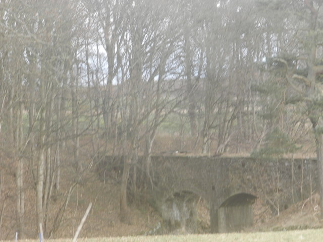
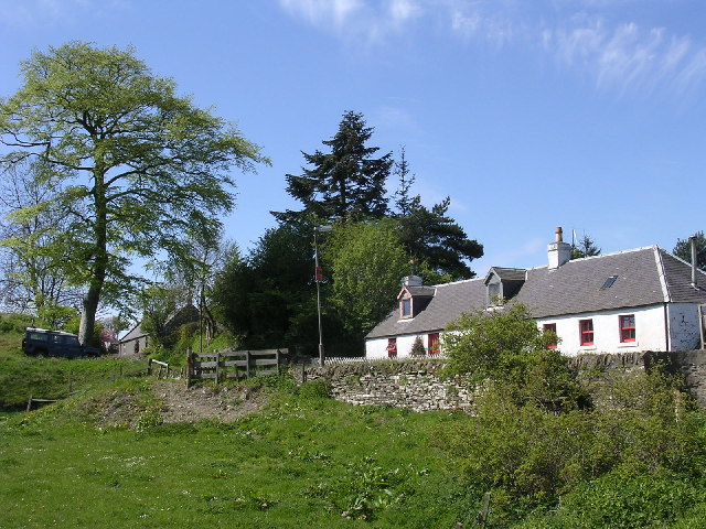
Backmuir Images

Images are sourced within 2km of 56.519145/-2.9054229 or Grid Reference NO4436. Thanks to Geograph Open Source API. All images are credited.

Chapel Road near Gagie Looking northward.
Chapel Road near Gagie
Looking northward.
Track through arable fields giving access to Easterton of Gagie Looking north-westward.
Track through arable fields giving access to Easterton of Gagie
Looking north-westward.
Chapel Road approaching Bucklerheads Looking south-eastward. Interestingly the farm is spelt Bucklershead.
Chapel Road approaching Bucklerheads
Looking south-eastward. Interestingly the farm is spelt Bucklershead.
Tree-lined road entering Kellas Looking south-eastward.
Tree-lined road entering Kellas
Looking south-eastward.
Minor road at Shielhill Looking westward.
Minor road at Shielhill
Looking westward.
Minor road near to Woodside Looking north-westward.
Minor road near to Woodside
Looking north-westward.
Minor road approaching Houletnook Looking southward. The spelling at the location is Houletneuk.
Minor road approaching Houletnook
Looking southward. The spelling at the location is Houletneuk.
Unclassified roads near Duntrune
Murroes Primary School
Aqueduct north of Kellas
Kellas village
Kellas village
Bucklerheads near Dundee
Unclassified Road to Carrot Hill
Farmland at Woodside
Entrance to Duntrune House
Field at Craighill Farm Already drilled and seeded ready for the next crop.
Field at Craighill Farm
Already drilled and seeded ready for the next crop.
Craighill Farm near Duntrune
Aqueduct in West Wellbank Wood
Show me another place!

Backmuir is located at Grid Ref: NO4436 (Lat: 56.519145, Lng: -2.9054229)

Unitary Authority: Angus

Police Authority: Tayside

What 3 Words

///eating.quite.charm. Near Monifieth, Angus

Related Wikis

Bucklerheads

Bucklershead is a village in Angus, Scotland. It lies approximately three miles north of Monifieth, on the B978 road. == References ==

Kellas, Angus

Kellas is a village in Angus, Scotland. It lies approximately two miles north of Dundee, on the B978 road. == References ==

Burnside of Duntrune

Burnside of Duntrune is a hamlet in Angus, Scotland. It is situated 1 km North of Ballumbie on the outskirts of Dundee, on the Fithie Burn. == References ==

Gagie railway station

Gagie Halt railway station was a railway halt in Scotland, on the Dundee and Forfar direct line, built by the London, Midland and Scottish Railway. It...

Murroes

Murroes is a parish in Angus, Scotland, situated approximately 3 miles (4.8 km) north of Dundee city centre. == Places of interest == The parish church...

Inveraldie

Inveraldie is a village in Angus, Scotland. It lies on the north-bound side of the A90 road, two miles north of Dundee. == References ==

Wellbank

Wellbank is a village in Angus, Scotland. It lies approximately three miles north of Dundee, on the B978 road. == References ==

Braeview Academy

Braeview Academy is a secondary school in Dundee, Scotland. Situated on top of a steep hill (brae), it was originally named Whitfield High School. It...

Related Videos

fintry places 1

check out my new page, https://ko-fi.com/d3adman33 bus number 33 - https://youtu.be/IVzcRN0Mr0c 47 Views - Feb 29, 2024 ...

Fresh & Chips THE BEST CHIPPY in DUNDEE | Tracy & Colin The Food Huggers

Fresh & Chips THE BEST CHIPPY in DUNDEE | Tracy & Colin The Food Huggers We went to this chippy in Dundee just on the of ...

Nearby Amenities

Located within 500m of 56.519145,-2.9054229
Bus Stop
Phone Box
Local Ref: AT
Naptan AtcoCode: 6490IM079
Naptan Bearing: N
Naptan CommonName: Phone Box
Naptan Indicator: at
Naptan Landmark: Westhall Terrace
Naptan NaptanCode: 26425765
Naptan Street: Westhall Terrace
Naptan Verified: no
Source: naptan_import
Lat/Long: 56.5213845/-2.9054095
Bus Stop
Phone Box
Naptan AtcoCode: 6490IM1268
Naptan Bearing: S
Naptan CommonName: Phone Box
Naptan Indicator: opp
Naptan NaptanCode: 26423235
Naptan Street: Westhall Terrace
Naptan Verified: no
Source: naptan_import
Lat/Long: 56.5213415/-2.9051484
Bus Stop
Murroes School
Bus: yes
Naptan AtcoCode: 6490IM681
Naptan Bearing: W
Naptan BusStopType: CUS
Naptan CommonName: Murroes School
Naptan Indicator: opp School
Naptan Landmark: War Memorial
Naptan NaptanCode: 26425486
Naptan Verified: no
Public Transport: platform
Source: naptan_import
Lat/Long: 56.5162003/-2.9054159
War Memorial
Historic: memorial
Memorial: war_memorial
Lat/Long: 56.5163756/-2.9055582
Westhall Terrace
Place: village
Lat/Long: 56.5210206/-2.9053047
Westhall Terrace
Traffic Sign: city_limit
Lat/Long: 56.5229248/-2.9055691
Westhall Terrace
Traffic Sign: city_limit
Lat/Long: 56.5182882/-2.9053818
North March
Place: isolated_dwelling
Lat/Long: 56.5224377/-2.906077
Telephone
Booth: K6
Covered: booth
Man Made: telephone_box
Lat/Long: 56.5210665/-2.9054355
Information: board
Tourism: information
Lat/Long: 56.5210924/-2.9054153
Knowehead
Place: isolated_dwelling
Lat/Long: 56.5167878/-2.908352
Power: pole
Lat/Long: 56.5148568/-2.9064254
Power: pole
Lat/Long: 56.5155661/-2.9060219
Power: pole
Lat/Long: 56.5162289/-2.9056407
Power: pole
Lat/Long: 56.5170323/-2.9060131
Power: pole
Lat/Long: 56.5178186/-2.9063877
Power: pole
Lat/Long: 56.5184496/-2.9066714
Power: pole
Lat/Long: 56.5190831/-2.9069551
Power: pole
Lat/Long: 56.5197568/-2.9069263
Power: pole
Lat/Long: 56.5204086/-2.9068997
Power: pole
Lat/Long: 56.5210737/-2.9068776
Power: pole
Lat/Long: 56.5218025/-2.9068088
Power: pole
Lat/Long: 56.5225019/-2.9067047
Power: pole
Lat/Long: 56.5195991/-2.908345
Power: pole
Lat/Long: 56.5194377/-2.9097791
Power: pole
Lat/Long: 56.5192934/-2.9111357
Power: pole
Lat/Long: 56.5191295/-2.9125654
Power: pole
Lat/Long: 56.519467/-2.9133501
Power: pole
Lat/Long: 56.5185022/-2.9114815
Power: pole
Lat/Long: 56.5177673/-2.9118095
Power: pole
Lat/Long: 56.5170226/-2.9121332
Shelter
Shelter Type: public_transport
Lat/Long: 56.5209141/-2.90544
Post Box
Collection Plate Date: 2023-05-22
Collection Times: Mo-Fr 09:00; Sa 07:00
Manufacturer: Carron Company Stirlingshire
Operator: Royal Mail
Post Box Mounting: pier
Post Box Type: lamp
Ref: DD5 60D
Royal Cypher: scottish_crown
Source: survey
Lat/Long: 56.5220534/-2.9052075
The data included in this document is from www.openstreetmap.org. The data is made available under ODbL.

Have you been to Backmuir?

Leave your review of Backmuir below (or comments, questions and feedback).