March, East
Settlement in Angus
Scotland
March, East
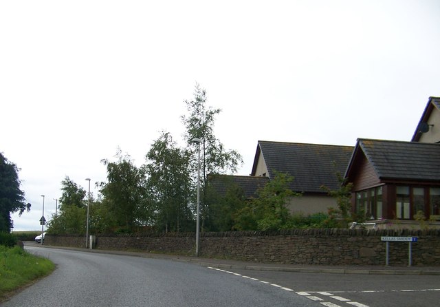
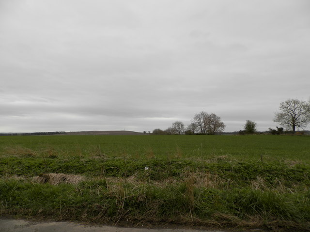
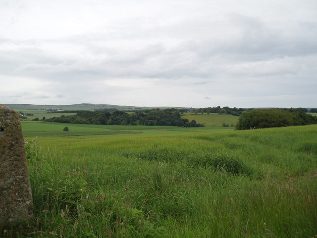
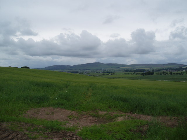
March is a small town located in the district of East, Angus, in Scotland. Situated on the eastern coast of the country, March is known for its picturesque landscapes and rich history. The town is surrounded by rolling hills and offers stunning views of the North Sea.
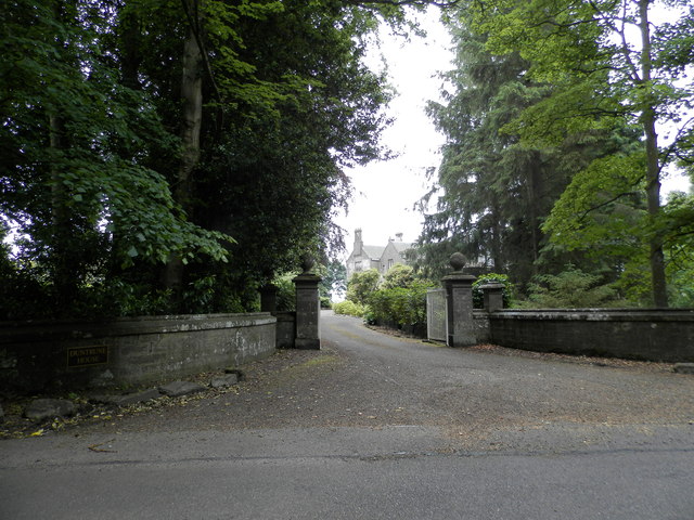
March has a population of approximately 2,000 residents, making it a close-knit community that values its heritage. The town is home to several notable landmarks, including the March Castle, a medieval fortress that dates back to the 15th century. The castle stands as a testament to the town's historical significance and attracts tourists from all over.
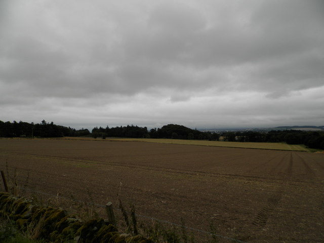
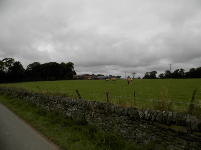
In addition to its historical attractions, March also offers a range of outdoor activities. The surrounding countryside provides ample opportunities for hiking, cycling, and exploring nature. The nearby beaches are popular for swimming, sunbathing, and enjoying scenic walks along the shore.
The town boasts a vibrant local culture, with various festivals and events taking place throughout the year. The March Highland Games, held annually, showcase traditional Scottish sports and music, attracting visitors from far and wide. The town also has a thriving arts scene, with galleries and exhibitions showcasing the work of local artists.
March is well-connected to other parts of Angus and Scotland, with good transport links and easy access to major cities. The town has a range of amenities, including shops, restaurants, and schools, making it an attractive place to live for both locals and newcomers.
In summary, March, East, Angus offers a blend of natural beauty, historical landmarks, and a strong sense of community. With its charming atmosphere and diverse range of activities, the town provides a welcoming and enriching experience for residents and visitors alike.
If you have any feedback on the listing, please let us know in the comments section below.
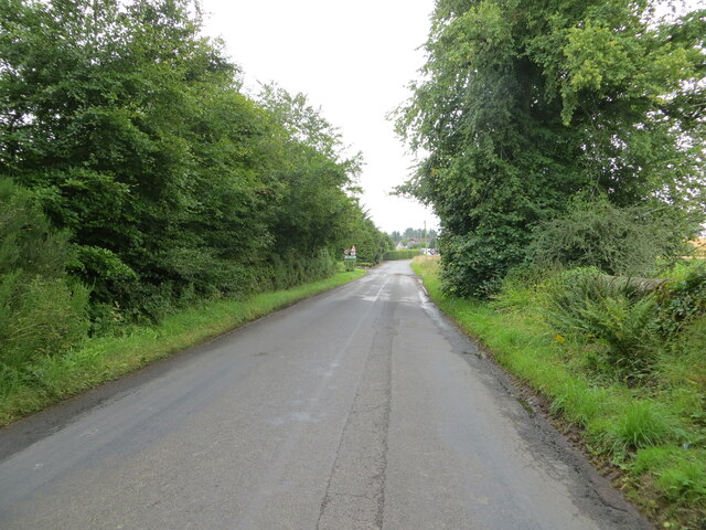
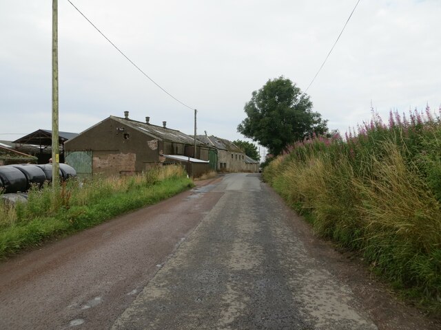
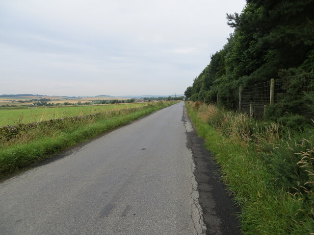
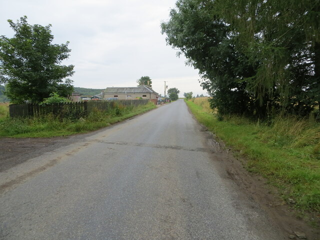
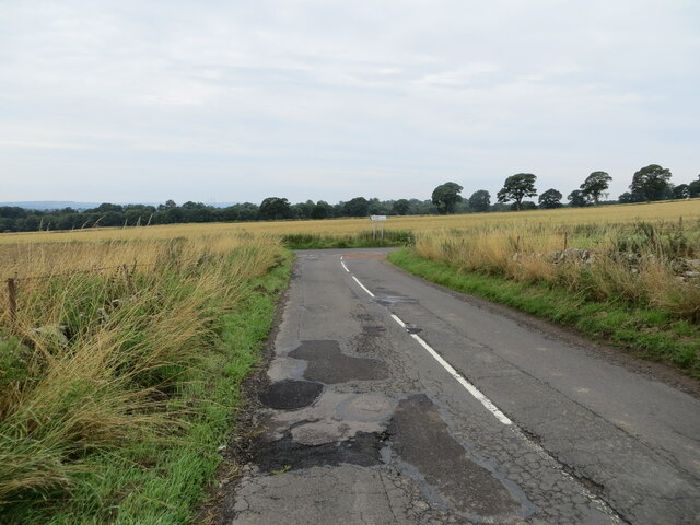
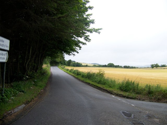
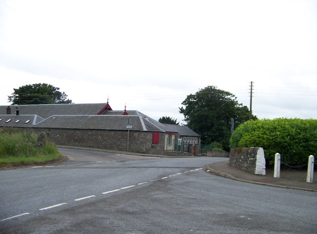
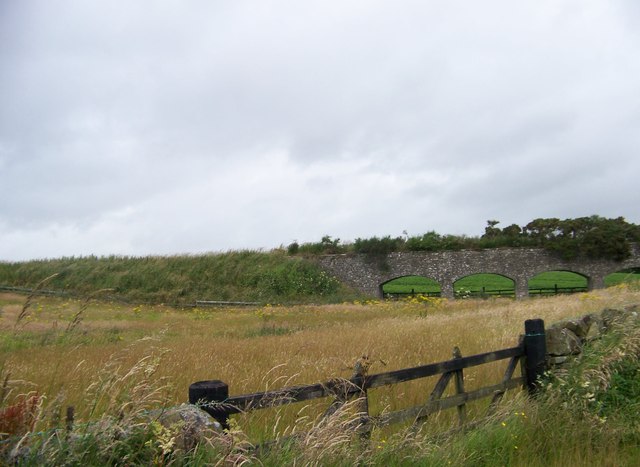
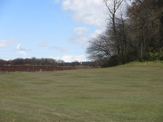
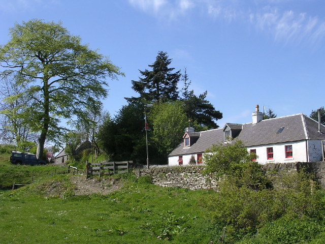
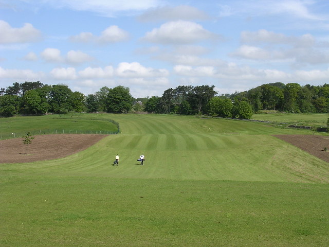
March, East Images
Images are sourced within 2km of 56.512703/-2.9115743 or Grid Reference NO4436. Thanks to Geograph Open Source API. All images are credited.

March, East is located at Grid Ref: NO4436 (Lat: 56.512703, Lng: -2.9115743)
Unitary Authority: Angus
Police Authority: Tayside
What 3 Words
///riders.film.never. Near Dundee, Dundee City
Nearby Locations
Related Wikis

Burnside of Duntrune
Burnside of Duntrune is a hamlet in Angus, Scotland. It is situated 1 km North of Ballumbie on the outskirts of Dundee, on the Fithie Burn. == References ==
Kellas, Angus
Kellas is a village in Angus, Scotland. It lies approximately two miles north of Dundee, on the B978 road. == References ==

Bucklerheads
Bucklershead is a village in Angus, Scotland. It lies approximately three miles north of Monifieth, on the B978 road. == References ==
Braeview Academy
Braeview Academy is a secondary school in Dundee, Scotland. Situated on top of a steep hill (brae), it was originally named Whitfield High School. It...
Ballumbie
Ballumbie is a residential area on the north-east edge of Dundee, Scotland. The area was formerly an estate centred on Ballumbie Castle, a mid-16th-century...

Powrie Castle
Powrie Castle is a ruined 16th-century castle located in the north of Dundee, Scotland. It was designated as a scheduled monument in 1971. The early 17th...

Inveraldie
Inveraldie is a village in Angus, Scotland. It lies on the north-bound side of the A90 road, two miles north of Dundee. == References ==
Murroes
Murroes is a parish in Angus, Scotland, situated approximately 3 miles (4.8 km) north of Dundee city centre. == Places of interest == The parish church...
Nearby Amenities
Located within 500m of 56.512703,-2.9115743Have you been to March, East?
Leave your review of March, East below (or comments, questions and feedback).