Dronley
Settlement in Angus
Scotland
Dronley
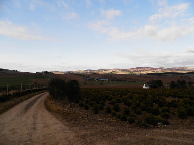
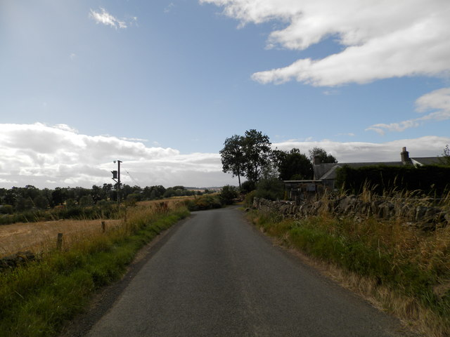
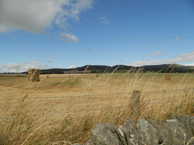
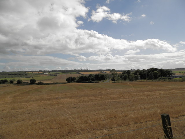
Dronley is a small rural village located in the Angus region of Scotland. Situated approximately 6 miles west of Dundee, it is nestled in the picturesque countryside, surrounded by rolling hills and farmland. The village is part of the Strathmartine ward and falls within the council area of Angus.
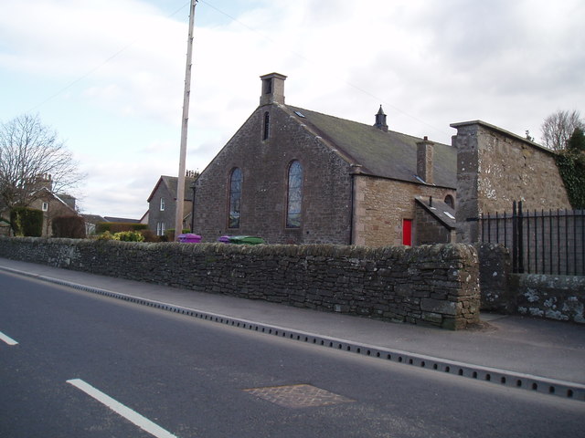
Dronley is a close-knit community with a population of around 500 residents. The village primarily consists of residential properties, with a few small businesses scattered throughout. It offers a peaceful and tranquil setting, making it an ideal place for those seeking a quieter lifestyle away from the hustle and bustle of the city.
The village is well-connected, with easy access to major transportation routes. The A90 road runs nearby, providing convenient links to Dundee, Perth, and the wider Angus area. Public transportation services are also available, ensuring residents can easily travel to nearby towns and cities.
Despite its small size, Dronley has a strong sense of community spirit. The village hosts various local events throughout the year, including a summer fete and a Christmas fair, bringing residents together to celebrate and socialize.
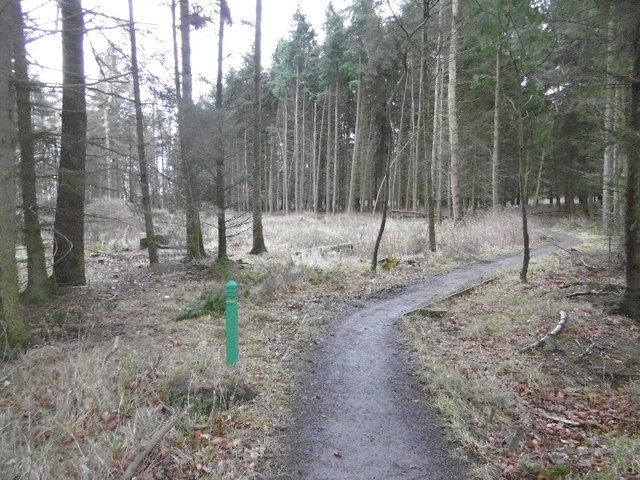
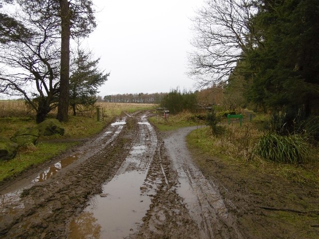
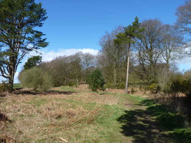
Nature enthusiasts will appreciate the beautiful surroundings of Dronley. The village is within close proximity to several nature reserves and parks, offering opportunities for outdoor activities such as hiking, cycling, and bird-watching.
In conclusion, Dronley is a charming rural village in Angus, Scotland. With its peaceful atmosphere, friendly community, and stunning natural surroundings, it provides a wonderful place to call home for those seeking a quieter and more idyllic lifestyle.
If you have any feedback on the listing, please let us know in the comments section below.
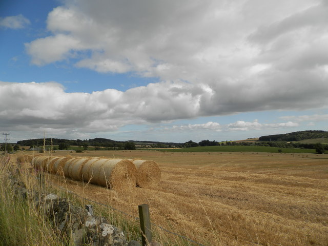
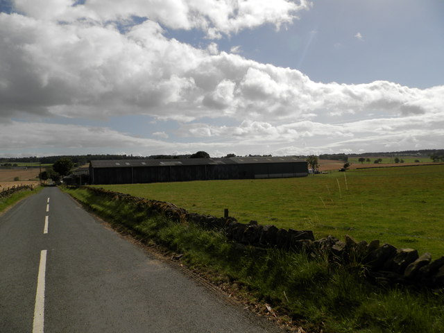
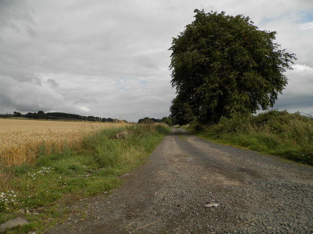
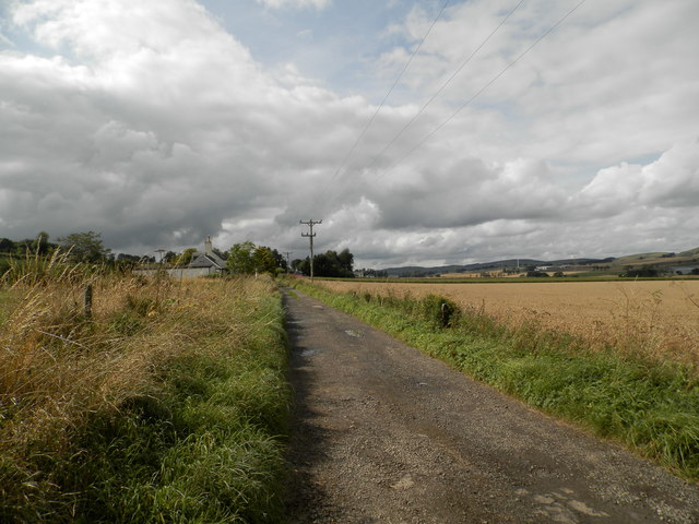
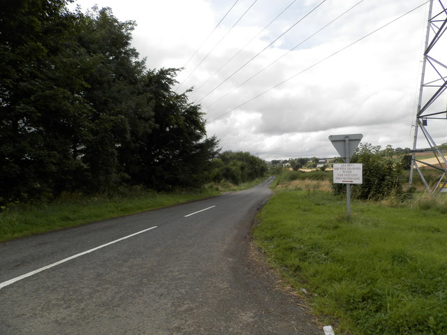
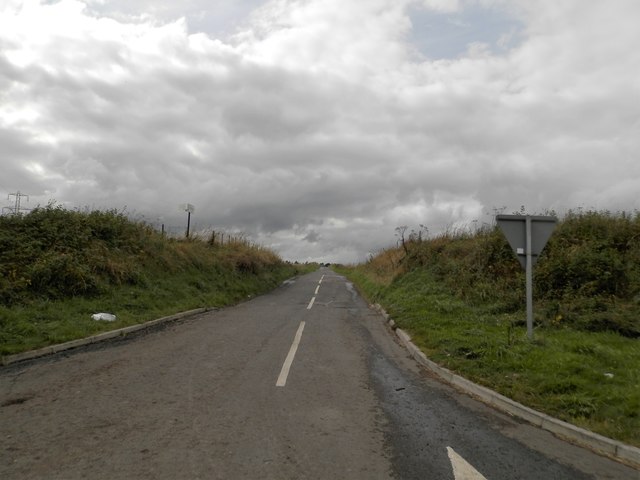
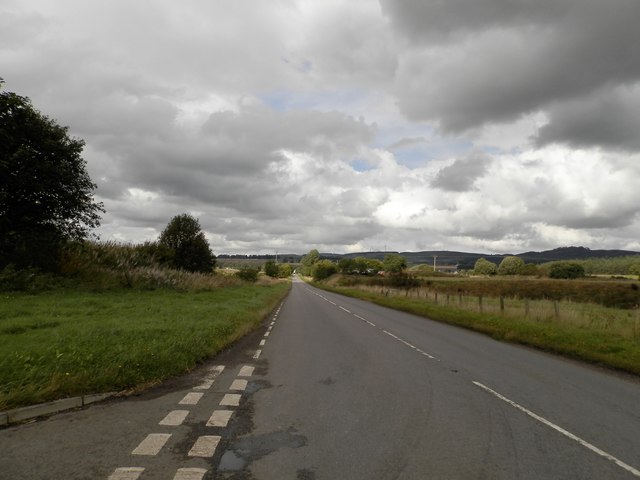
Dronley Images
Images are sourced within 2km of 56.508352/-3.0674697 or Grid Reference NO3435. Thanks to Geograph Open Source API. All images are credited.


Dronley is located at Grid Ref: NO3435 (Lat: 56.508352, Lng: -3.0674697)
Unitary Authority: Angus
Police Authority: Tayside
What 3 Words
///invest.pioneered.upstarts. Near Muirhead, Angus
Nearby Locations
Related Wikis
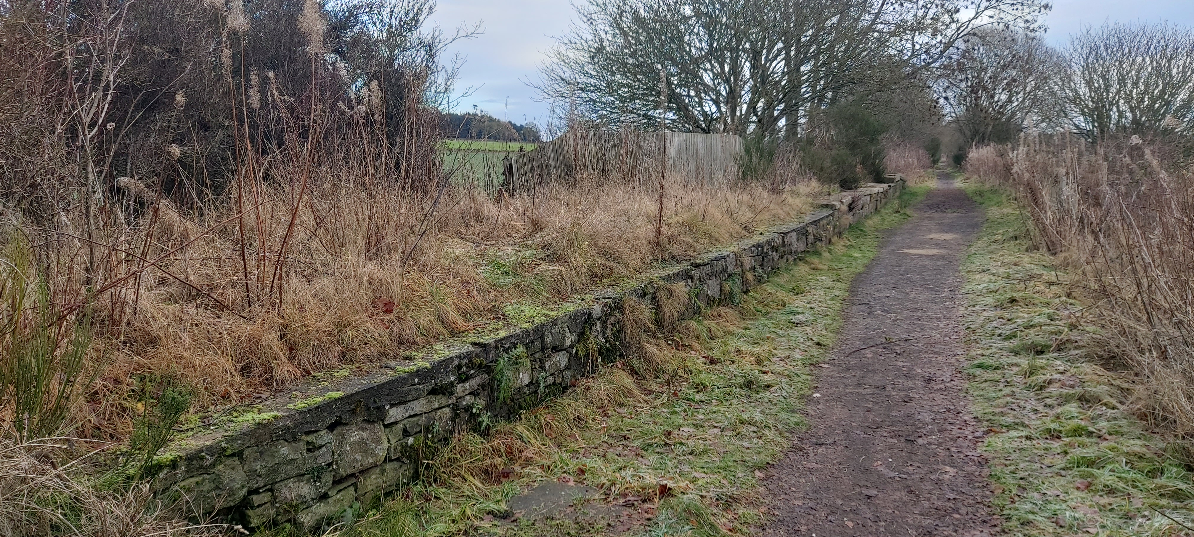
Dronley railway station
Dronley railway station served the village of Dronley, Angus, Scotland from 1860 to 1955 on the Dundee and Newtyle Railway. == History == The station opened...

Dundee West (UK Parliament constituency)
Dundee West is a constituency of the House of Commons of the Parliament of the United Kingdom. It elects one Member of Parliament (MP) by the first-past...

Backmuir Wood
Backmuir Wood is a 140.58 acres (56.89 ha) woodland in the Scottish county of Angus, about 4 kilometres (2 mi) northwest of Dundee. It is located south...
Balbeuchly (Foot) railway station
Balbeuchly (Foot) railway station served the village of Auchterhouse, Angus, Scotland, from 1831 to 1855 on the Dundee and Newtyle Railway. == History... ==

Birkhill, Angus
Birkhill and neighbouring Muirhead are two small villages in Angus, just to the west of Dundee, Scotland. == Community features == Features of Muirhead...
Balbeuchly (Top) railway station
Balbeuchly (Top) railway station served the village of Auchterhouse, Angus, Scotland, from 1831 to 1861 on the Dundee and Newtyle Railway. == History... ==

Auchterhouse
Auchterhouse is a village, community, and civil parish in the Scottish council area of Angus, located 7.3 miles (11.7 km) north west of Dundee, 9.5 miles...
Auchterhouse railway station
Auchterhouse railway station served the village of Auchterhouse in the Scottish county of Angus. Services were provided by the Dundee and Newtyle Railway...
Related Videos


TRAVEL WITH ME TO THE UK || Last minute Travel Vlog ✈️ | Nigeria to UK | the process // 🌇 PART ONE!
I had a last minute travel to the UK… this is just a summary of my journey//part one. I hope you enjoy it. @qatarairways ...
Highlights: Camperdown Wildlife Centre, Dundee | 4K
The Camperdown Wildlife Centre is home to over 50 species of animals, including big cats, primates, birds of prey, and various ...
Nearby Amenities
Located within 500m of 56.508352,-3.0674697Have you been to Dronley?
Leave your review of Dronley below (or comments, questions and feedback).