Ayleford
Settlement in Gloucestershire Forest of Dean
England
Ayleford
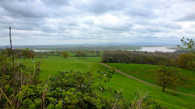
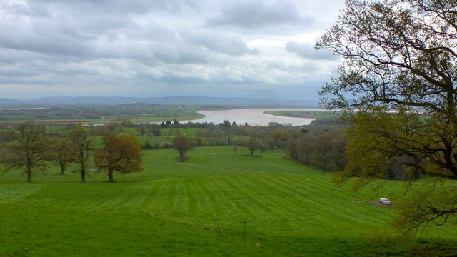
Ayleford is a small village located in the county of Gloucestershire, England. Situated on the edge of the picturesque Cotswolds, it is surrounded by rolling hills and stunning countryside. The village is part of the district of Tewkesbury and lies approximately 8 miles southwest of the town of Tewkesbury.
Ayleford is known for its historic charm and idyllic rural setting. The village is home to a close-knit community, with a population of around 500 residents. It boasts a range of traditional stone cottages and well-preserved buildings, reflecting its rich heritage.
The heart of Ayleford is its local church, St. Peter's Church, which dates back to the 12th century. This beautiful medieval church serves as a focal point for the community and is a popular attraction for visitors. The village also has a village hall, a primary school, and a pub, providing essential amenities for its residents.
Ayleford offers a peaceful and tranquil environment, making it a popular destination for nature lovers and outdoor enthusiasts. The surrounding countryside provides ample opportunities for walking, hiking, and exploring the nearby Cotswolds Area of Outstanding Natural Beauty.
Despite its rural setting, Ayleford benefits from good transport links. The village is conveniently located near major road networks, including the M5 motorway, providing easy access to nearby towns and cities such as Gloucester and Cheltenham.
In summary, Ayleford is a charming village nestled in the Gloucestershire countryside, known for its historic architecture, natural beauty, and strong sense of community.
If you have any feedback on the listing, please let us know in the comments section below.
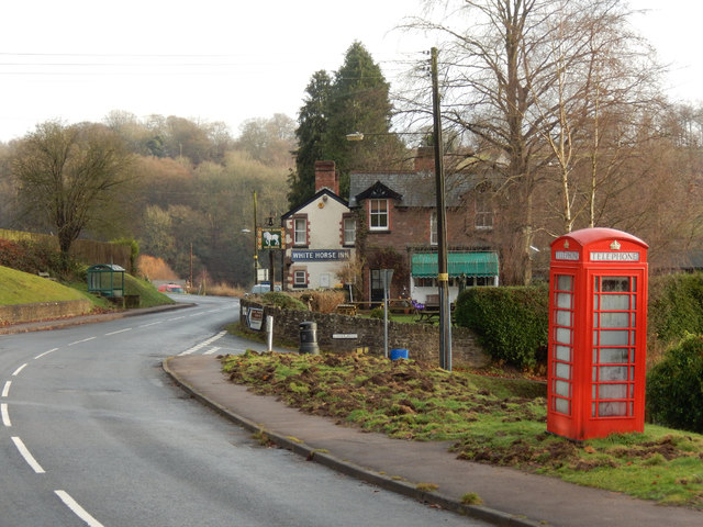
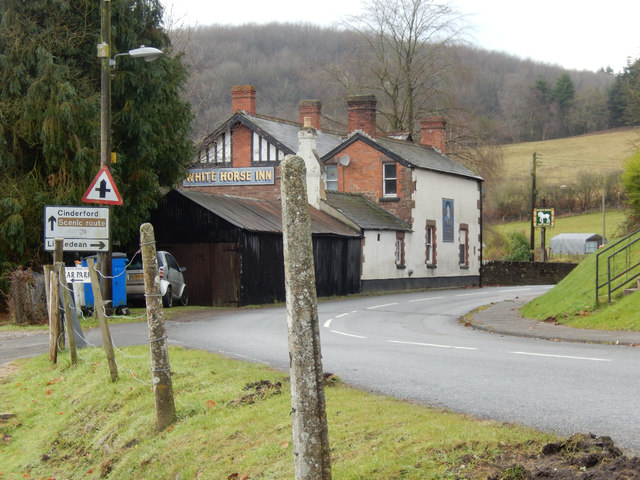
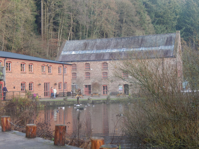
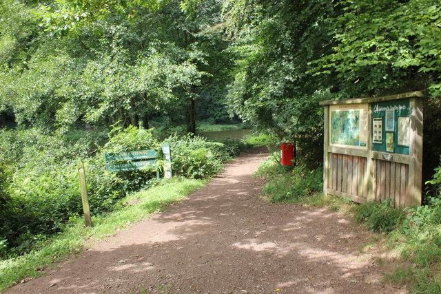
Ayleford Images
Images are sourced within 2km of 51.778001/-2.4909122 or Grid Reference SO6608. Thanks to Geograph Open Source API. All images are credited.
Ayleford is located at Grid Ref: SO6608 (Lat: 51.778001, Lng: -2.4909122)
Administrative County: Gloucestershire
District: Forest of Dean
Police Authority: Gloucestershire
What 3 Words
///grad.shiver.hero. Near Cinderford, Gloucestershire
Nearby Locations
Related Wikis

Upper Soudley Halt railway station
Upper Soudley Halt railway station is a disused railway station that was opened by the Great Western Railway (GWR) on the former Bullo Pill Railway, later...

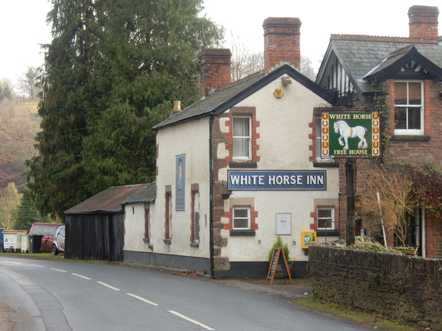
Soudley
Soudley, including Upper Soudley, is a village to the west of Cinderford, in the Forest of Dean, Gloucestershire, England. It joins with Ruspidge to form...

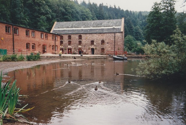
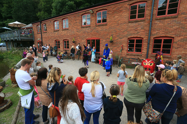
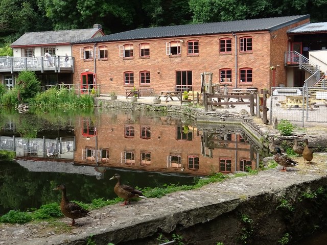
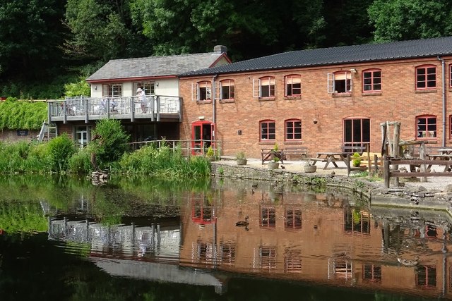
Dean Heritage Centre
The Dean Heritage Centre is located in the valley of Soudley, Gloucestershire, England in the Forest of Dean and exists to record and preserve the social...

Brain's Green
Brain's Green is a hamlet in Gloucestershire, England. == References ==

Blakeney, Gloucestershire
Blakeney is a village in Gloucestershire, England. It in the parish of Awre and has views of the Forest of Dean. It was the site of a Roman villa, dating...
Bledisloe Tump
Bledisloe Tump was a castle in the village of Awre in Gloucestershire, England. == History == The first castle on the site was built in the 11th or early...

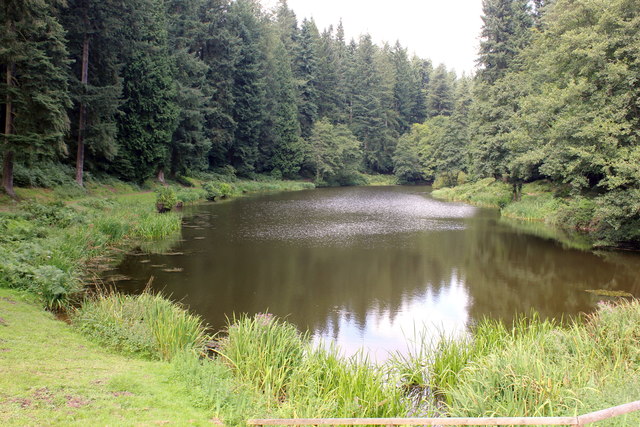
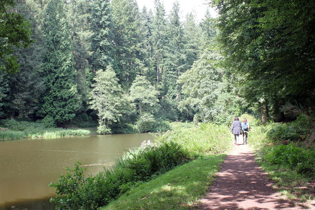
Soudley Ponds
Lying close to the village of Soudley in the Forest of Dean, west Gloucestershire, Soudley Ponds (grid reference SO662112), also known as Sutton Ponds...
Meezy Hurst
Meezy Hurst (SO638089 to SO647091) is a 4.3-hectare (11-acre) geological Site of Special Scientific Interest in Gloucestershire, notified in 1986.The site...
Nearby Amenities
Located within 500m of 51.778001,-2.4909122Have you been to Ayleford?
Leave your review of Ayleford below (or comments, questions and feedback).