Two Bridges

Settlement in Gloucestershire Forest of Dean

England

Two Bridges

Stone Stile, Blakeney On Gloucestershire footpath DAW63, off Pollards Lane looking from the road.
The view looking West is <a href="https://www.geograph.org.uk/photo/7301675">SO6606 : Stone Stile, Blakeney</a>.
Stone Stile, Blakeney Credit: Mr Red

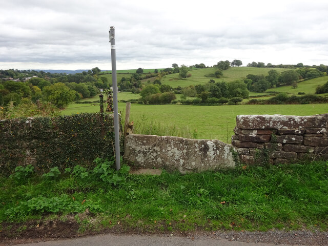
Two Bridges is a small village located in the county of Gloucestershire, England. Situated in the picturesque countryside, the village is known for its charming rural setting and historical significance. It is named after the two bridges that cross the nearby River Coln.

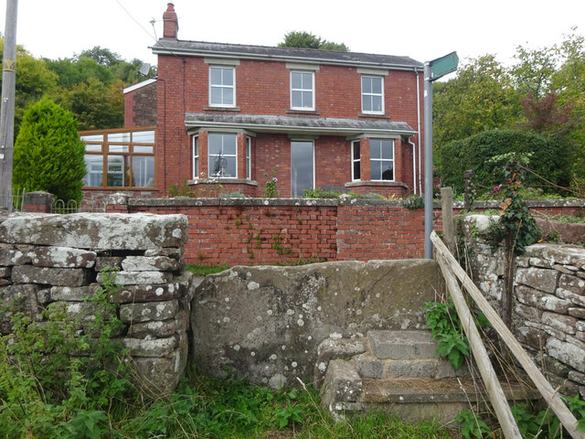
The village is home to a population of around 300 residents and offers a tranquil and peaceful atmosphere. The architecture in Two Bridges reflects its rich history, with several buildings dating back to the medieval period. The iconic stone houses and thatched cottages add to the village's traditional charm.

Nature enthusiasts will appreciate the village's proximity to the Cotswold Area of Outstanding Natural Beauty. The surrounding countryside offers stunning landscapes, including rolling hills, lush green fields, and meandering rivers. The village is also a popular spot for outdoor activities such as hiking, cycling, and fishing.

Despite its small size, Two Bridges is not lacking in amenities. The village boasts a local pub, which serves as a gathering place for residents and visitors alike. There is also a village hall, where community events and social gatherings take place.

Two Bridges is conveniently located near larger towns such as Cirencester and Cheltenham, offering access to a wider range of amenities and services. The village's peaceful setting and beautiful surroundings make it an ideal location for those seeking a tranquil retreat in the heart of the English countryside.

If you have any feedback on the listing, please let us know in the comments section below.
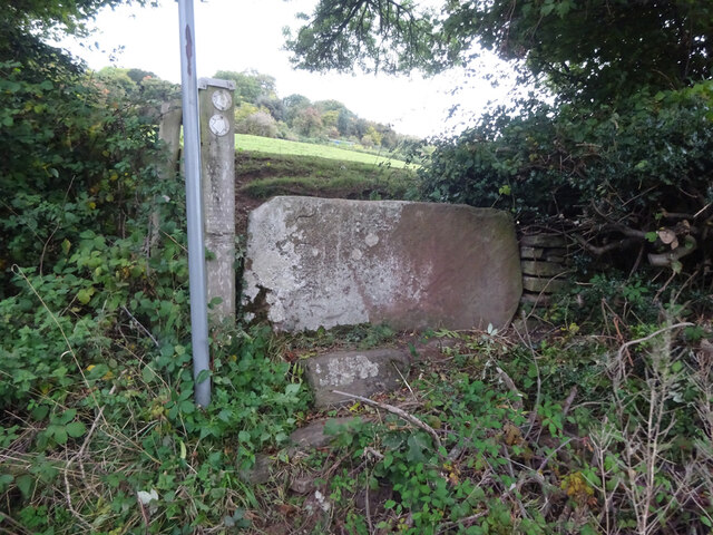
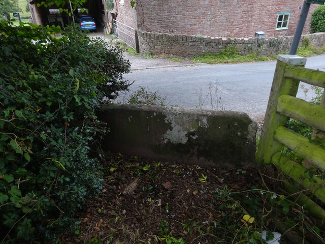
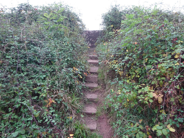
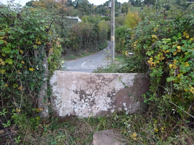
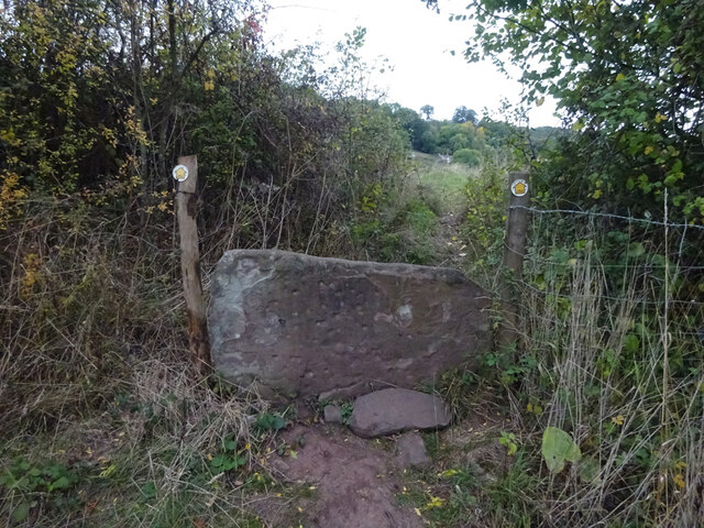
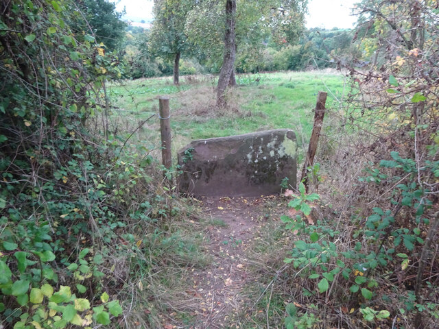
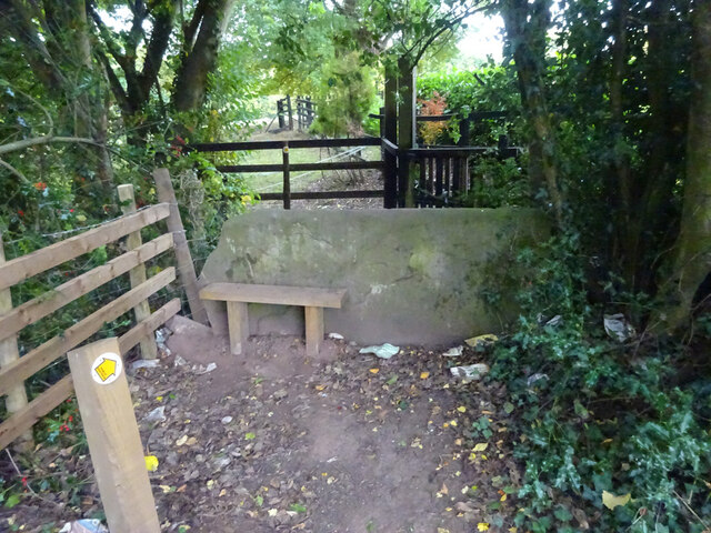
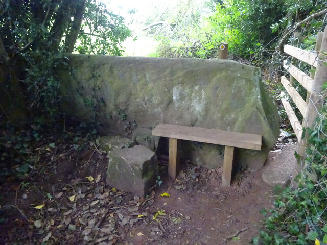
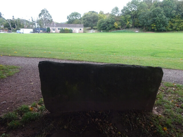
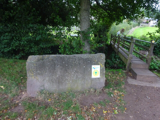
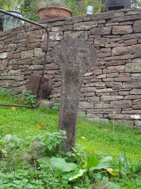
Two Bridges Images

Images are sourced within 2km of 51.769635/-2.4941256 or Grid Reference SO6608. Thanks to Geograph Open Source API. All images are credited.

Stone Stile, Blakeney On Gloucestershire footpath DAW63, off Pollards Lane looking from the road.
The view looking West is <a href="https://www.geograph.org.uk/photo/7301675">SO6606 : Stone Stile, Blakeney</a>.
Stone Stile, Blakeney
On Gloucestershire footpath DAW63, off Pollards Lane looking from the road. The view looking West is SO6606 : Stone Stile, Blakeney.
Stone Stile, Blakeney On Gloucestershire footpath DAW63, off Pollards Lane looking towards the road. The view looking East is <a href="https://www.geograph.org.uk/photo/7301674">SO6606 : Stone Stile, Blakeney</a>.
Stone Stile, Blakeney
On Gloucestershire footpath DAW63, off Pollards Lane looking towards the road. The view looking East is SO6606 : Stone Stile, Blakeney.
Stone Stile, Blakeney Hill On Gloucestershire footpath DAW37 at Hewell's Farm, Cinderford Road. This looks West to road, the view East is <a href="https://www.geograph.org.uk/photo/7301708">SO6607 : Stone Stile, Blakeney Hill</a>.
Stone Stile, Blakeney Hill
On Gloucestershire footpath DAW37 at Hewell's Farm, Cinderford Road. This looks West to road, the view East is SO6607 : Stone Stile, Blakeney Hill.
Stone Stile, Blakeney Hill On Gloucestershire footpath DAW37 at Hewell's Farm, Cinderford Road. This looks East, the view to the road is <a href="https://www.geograph.org.uk/photo/7301707">SO6607 : Stone Stile, Blakeney Hill</a>.
Stone Stile, Blakeney Hill
On Gloucestershire footpath DAW37 at Hewell's Farm, Cinderford Road. This looks East, the view to the road is SO6607 : Stone Stile, Blakeney Hill.
Stone Stile, Blakeney Hill On Gloucestershire footpaths DAW38 & DAW39 from Cinderford Road opposite Hewell's Farm looking from the road. The view looking to the road is <a href="https://www.geograph.org.uk/photo/7301717">SO6607 : Stone Stile, Blakeney Hill</a>.
Stone Stile, Blakeney Hill
On Gloucestershire footpaths DAW38 & DAW39 from Cinderford Road opposite Hewell's Farm looking from the road. The view looking to the road is SO6607 : Stone Stile, Blakeney Hill.
Stone Stile, Blakeney Hill On Gloucestershire footpaths DAW38 & DAW39 from Cinderford Road, looking towards Hewell's Farm. The view from the road is <a href="https://www.geograph.org.uk/photo/7301715">SO6607 : Stone Stile, Blakeney Hill</a>.
Stone Stile, Blakeney Hill
On Gloucestershire footpaths DAW38 & DAW39 from Cinderford Road, looking towards Hewell's Farm. The view from the road is SO6607 : Stone Stile, Blakeney Hill.
Stone Stile, Blakeney Hill On Gloucestershire footpath DAW46 opposite Blakeney Hill Road looking from the road. The view to the roads is <a href="https://www.geograph.org.uk/photo/7301743">SO6607 : Stone Stile, Blakeney Hill</a>.
Stone Stile, Blakeney Hill
On Gloucestershire footpath DAW46 opposite Blakeney Hill Road looking from the road. The view to the roads is SO6607 : Stone Stile, Blakeney Hill.
Stone Stile, Blakeney Hill On Gloucestershire footpath DAW46 opposite Blakeney Hill Road looking to the roads. The view up the steps to the stile is <a href="https://www.geograph.org.uk/photo/7301742">SO6607 : Stone Stile, Blakeney Hill</a>.
Stone Stile, Blakeney Hill
On Gloucestershire footpath DAW46 opposite Blakeney Hill Road looking to the roads. The view up the steps to the stile is SO6607 : Stone Stile, Blakeney Hill.
Stone Stile, Blakeney Hill On Gloucestershire footpath DAW46 heading towards the Blakeney Playing Fields. Looking NW in the direction of Cinderford Road, the view SE is <a href="https://www.geograph.org.uk/photo/7301752">SO6607 : Stone Stile, Blakeney Hill</a>.
Stone Stile, Blakeney Hill
On Gloucestershire footpath DAW46 heading towards the Blakeney Playing Fields. Looking NW in the direction of Cinderford Road, the view SE is SO6607 : Stone Stile, Blakeney Hill.
Stone Stile, Blakeney Hill On Gloucestershire footpath DAW46 heading towards the Blakeney Playing Fields. Looking NW to Cinderford Road, the view SE is <a href="https://www.geograph.org.uk/photo/7301750">SO6607 : Stone Stile, Blakeney Hill</a>.
Stone Stile, Blakeney Hill
On Gloucestershire footpath DAW46 heading towards the Blakeney Playing Fields. Looking NW to Cinderford Road, the view SE is SO6607 : Stone Stile, Blakeney Hill.
Stone Stile, Blakeney On Gloucestershire footpath DAW46 looking South looking towards the playing fields, the view North is <a href="https://www.geograph.org.uk/photo/7301767">SO6607 : Stone Stile, Blakeney</a>.
Stone Stile, Blakeney
On Gloucestershire footpath DAW46 looking South looking towards the playing fields, the view North is SO6607 : Stone Stile, Blakeney.
Stone Stile, Blakeney On Gloucestershire footpath DAW46 looking north, the view South looking towards the playing fields is <a href="https://www.geograph.org.uk/photo/7301766">SO6607 : Stone Stile, Blakeney</a>.
Stone Stile, Blakeney
On Gloucestershire footpath DAW46 looking north, the view South looking towards the playing fields is SO6607 : Stone Stile, Blakeney.
Stone Stile, Blakeney On Gloucestershire footpaths DAW119 & DAW44 at the Eastern side of the playing fields looking East. The view looking back is <a href="https://www.geograph.org.uk/photo/7301781">SO6707 : Stone Stile, Blakeney</a>.
Stone Stile, Blakeney
On Gloucestershire footpaths DAW119 & DAW44 at the Eastern side of the playing fields looking East. The view looking back is SO6707 : Stone Stile, Blakeney.
Stone Stile, Blakeney On Gloucestershire footpaths DAW119 & DAW44 at the Eastern side of and looking from the playing fields. The view looking in is <a href="https://www.geograph.org.uk/photo/7301780">SO6707 : Stone Stile, Blakeney</a>.
Stone Stile, Blakeney
On Gloucestershire footpaths DAW119 & DAW44 at the Eastern side of and looking from the playing fields. The view looking in is SO6707 : Stone Stile, Blakeney.
Stone Stile, Blakeney On Gloucestershire footpath DAW44 leaving the playing fields. The view looking back to the playing fields is <a href="https://www.geograph.org.uk/photo/7301793">SO6707 : Stone Stile, Blakeney</a>.
Stone Stile, Blakeney
On Gloucestershire footpath DAW44 leaving the playing fields. The view looking back to the playing fields is SO6707 : Stone Stile, Blakeney.
Stone Stile, Blakeney On Gloucestershire footpath DAW44 looking back to the playing fields. The view leaving the playing fields is <a href="https://www.geograph.org.uk/photo/7301792">SO6707 : Stone Stile, Blakeney</a>.
Stone Stile, Blakeney
On Gloucestershire footpath DAW44 looking back to the playing fields. The view leaving the playing fields is SO6707 : Stone Stile, Blakeney.
Railway Boundary Marker, Blakeney At No. 1 Prospect Cottage, Blakeney Hill. A genuine Midland Railway boundary post, out of place. The owner had moved it from the front garden. There is no close railway track, the Forest of Dean Railway became GWR by 1900, and that is 350 yds at its closest point. This was purely a decoration.
Railway Boundary Marker, Blakeney
At No. 1 Prospect Cottage, Blakeney Hill. A genuine Midland Railway boundary post, out of place. The owner had moved it from the front garden. There is no close railway track, the Forest of Dean Railway became GWR by 1900, and that is 350 yds at its closest point. This was purely a decoration.
Boundary Stone, Loiterpin, Forest of Dean Blakeney Hill, on the Eastern side of the road in the verge. Though lain and broken, it was in the exact location (1 m) of that predicted, and it has the same rounded top as many of the similar older boundary stones in the "Forest".

Milestone Society National ID: GL_DFAWRE13aem
Boundary Stone, Loiterpin, Forest of Dean
Blakeney Hill, on the Eastern side of the road in the verge. Though lain and broken, it was in the exact location (1 m) of that predicted, and it has the same rounded top as many of the similar older boundary stones in the "Forest". Milestone Society National ID: GL_DFAWRE13aem
Show me another place!

Two Bridges is located at Grid Ref: SO6608 (Lat: 51.769635, Lng: -2.4941256)

Administrative County: Gloucestershire

District: Forest of Dean

Police Authority: Gloucestershire

What 3 Words

///formless.talkers.looks. Near Lydney, Gloucestershire

Related Wikis

Brain's Green

Brain's Green is a hamlet in Gloucestershire, England. == References ==

Blakeney, Gloucestershire

Blakeney is a village in Gloucestershire, England. It in the parish of Awre and has views of the Forest of Dean. It was the site of a Roman villa, dating...

Clarke's Pool Meadow SSSI

Clarke's Pool Meadow (grid reference SO668061) is a 1.8-hectare (4.4-acre) biological Site of Special Scientific Interest in Gloucestershire, notified...

Oldcroft

Oldcroft is a hamlet in Gloucestershire, England. The village of Yorkley is to the northwest, and the hamlet of Viney Hill is to the northeast. == History... ==

Meezy Hurst

Meezy Hurst (SO638089 to SO647091) is a 4.3-hectare (11-acre) geological Site of Special Scientific Interest in Gloucestershire, notified in 1986.The site...

Bledisloe Tump

Bledisloe Tump was a castle in the village of Awre in Gloucestershire, England. == History == The first castle on the site was built in the 11th or early...

Upper Soudley Halt railway station

Upper Soudley Halt railway station is a disused railway station that was opened by the Great Western Railway (GWR) on the former Bullo Pill Railway, later...

Soudley

Soudley, including Upper Soudley, is a village to the west of Cinderford, in the Forest of Dean, Gloucestershire, England. It joins with Ruspidge to form...

Nearby Amenities

Located within 500m of 51.769635,-2.4941256
Power: pole
Lat/Long: 51.770655/-2.496171
Power: pole
Lat/Long: 51.767986/-2.4981988
Design: triangle
Material: metal
Power: pole
Structure: lattice
Lat/Long: 51.7677171/-2.4984375
Design: triangle
Material: metal
Power: pole
Structure: lattice
Lat/Long: 51.768942/-2.4967772
Design: triangle
Material: metal
Power: pole
Structure: lattice
Lat/Long: 51.7703429/-2.4960047
Design: triangle
Material: metal
Power: pole
Structure: lattice
Lat/Long: 51.7719745/-2.4951196
Design: triangle
Material: metal
Power: pole
Structure: lattice
Lat/Long: 51.7732275/-2.4945053
The data included in this document is from www.openstreetmap.org. The data is made available under ODbL.

Have you been to Two Bridges?

Leave your review of Two Bridges below (or comments, questions and feedback).