Auldhouse

Settlement in Renfrewshire

Scotland

Auldhouse

Kennishead towerblocks Built in the late 1960s, originally five in number, reduced to these three in 1916-18. Numbered 50, 60 and 70 Kennishead Avenue. Viewed from Kennishead railway station.
Kennishead towerblocks Credit: Thomas Nugent

Auldhouse is a small village located in Renfrewshire, Scotland. Situated about 7 miles south of Glasgow, it is part of the larger town of East Kilbride. Auldhouse is surrounded by beautiful countryside and offers a peaceful and scenic environment for residents and visitors alike.

The village has a rich history, with records dating back to the 12th century. It was once home to a prominent medieval estate known as Auldhouse Tower, which has since been demolished. Today, only remnants of the tower remain, adding to the village's historical charm.

Auldhouse is a close-knit community with a population of around 500 residents. The village offers a range of amenities, including a local pub, a primary school, and a village hall that serves as a focal point for community events and activities. The nearby town of East Kilbride provides additional services and facilities, such as shopping centers, restaurants, and leisure facilities.

The village's location provides easy access to the surrounding natural beauty, including the nearby Calderglen Country Park and the Clyde Valley. Outdoor enthusiasts can enjoy walking, cycling, and exploring the picturesque landscapes.

Auldhouse is well-connected by road, with the nearby A726 and A749 providing access to Glasgow and other towns in Renfrewshire. The village is also served by regular bus services, making it accessible for those without private transportation.

Overall, Auldhouse offers a tranquil and idyllic setting, making it a desirable place to live or visit for those seeking a peaceful escape from the bustling city life.

If you have any feedback on the listing, please let us know in the comments section below.
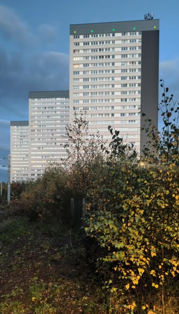
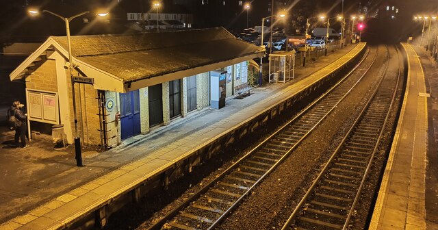
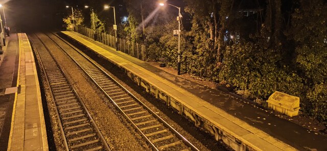
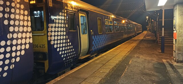
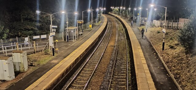
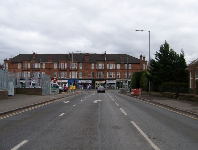
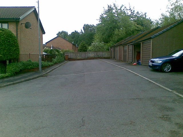
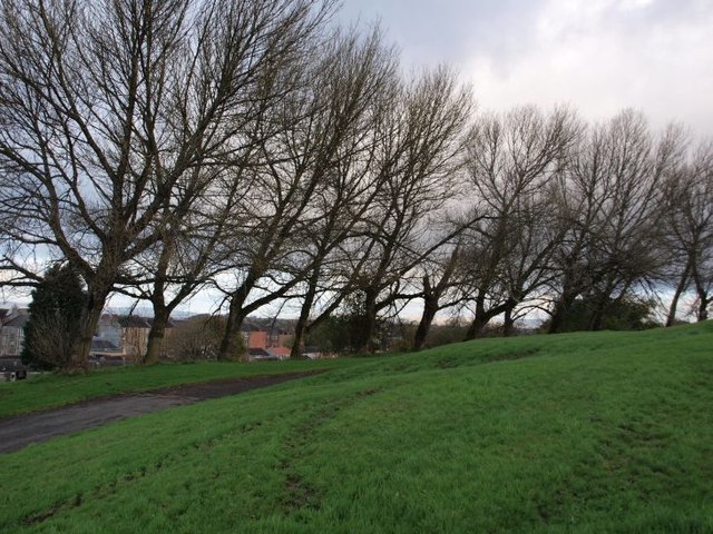
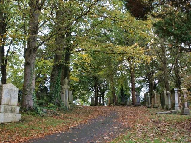
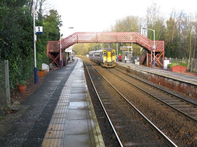
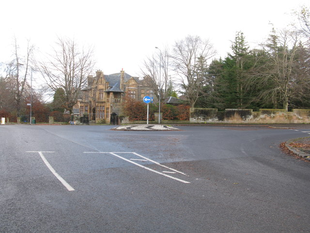
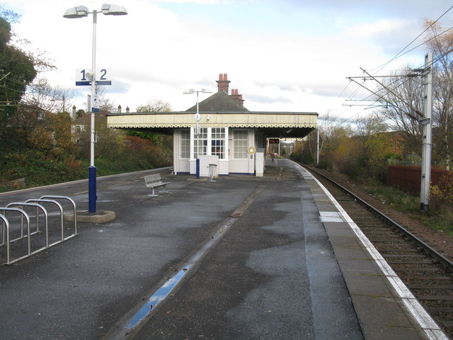
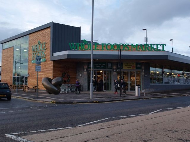
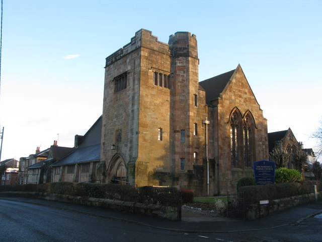
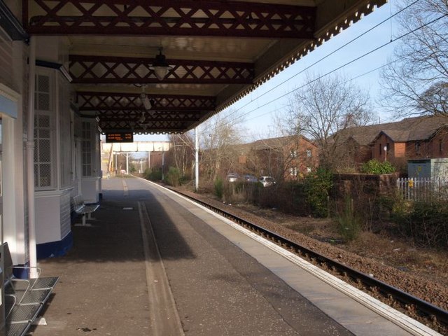
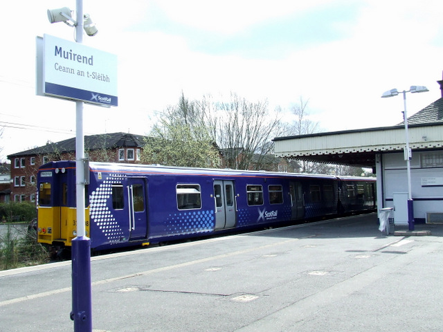
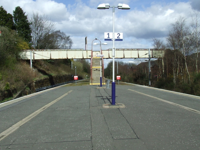
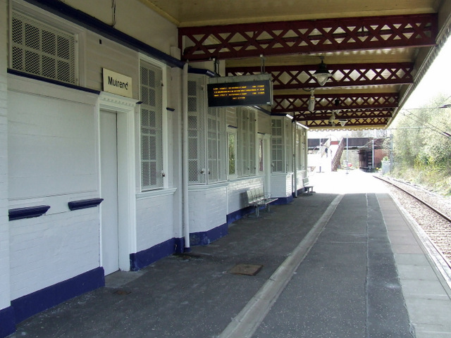
Auldhouse Images

Images are sourced within 2km of 55.817843/-4.2927597 or Grid Reference NS5660. Thanks to Geograph Open Source API. All images are credited.

Kennishead towerblocks Built in the late 1960s, originally five in number, reduced to these three in 1916-18. Numbered 50, 60 and 70 Kennishead Avenue. Viewed from Kennishead railway station.
Kennishead towerblocks
Built in the late 1960s, originally five in number, reduced to these three in 1916-18. Numbered 50, 60 and 70 Kennishead Avenue. Viewed from Kennishead railway station.
Giffnock railway station A night voew from the footbridge. The station is on the East Kilbride line from Glasgow Central, between Thornliebank and Clarkston stations.
Giffnock railway station
A night voew from the footbridge. The station is on the East Kilbride line from Glasgow Central, between Thornliebank and Clarkston stations.
Giffnock railway station A night view from the footbridge. The station is on the East Kilbride line from Glasgow Central, between Thornliebank and Clarkston stations.
Giffnock railway station
A night view from the footbridge. The station is on the East Kilbride line from Glasgow Central, between Thornliebank and Clarkston stations.
Giffnock railway station An East Kilbride bound Scotrail Class 156 train, comprising 156 435 plus one other.
Giffnock railway station
An East Kilbride bound Scotrail Class 156 train, comprising 156 435 plus one other.
Thornliebank railway station Looking north from the footbridge. The station is on the East Kilbride line from Glasgow Central, between Pollokshaws West and Giffnock stations.
Thornliebank railway station
Looking north from the footbridge. The station is on the East Kilbride line from Glasgow Central, between Pollokshaws West and Giffnock stations.
Approaching Clarkston Road on Muirend Road
Carleton Drive, Glasgow
Trees in Cathcart Cemetery On the lee of the hill the trees show the influence of the prevailing westerly winds.
Trees in Cathcart Cemetery
On the lee of the hill the trees show the influence of the prevailing westerly winds.
Scene in Cathcart Cemetery
Giffnock Railway Station The station between Clarkston and Thornliebank on the Glasgow South Western Line.
Giffnock Railway Station
The station between Clarkston and Thornliebank on the Glasgow South Western Line.
Roundabout in Muirend At the junction of Langside Drive and Muirend Road.
Roundabout in Muirend
At the junction of Langside Drive and Muirend Road.
Muirend Railway Station The station between Cathcart and Williamwood on the Neilston branch of the Cathcart Circle Line.
Muirend Railway Station
The station between Cathcart and Williamwood on the Neilston branch of the Cathcart Circle Line.
Giffnock Whole Foods Market Whole Foods is an American chain of food stores. The Giffnock store is - for the moment - the only one in Scotland.
Giffnock Whole Foods Market
Whole Foods is an American chain of food stores. The Giffnock store is - for the moment - the only one in Scotland.
Orchardhill Parish Church At the corner of Church Road and Claremount Avenue.
Orchardhill Parish Church
At the corner of Church Road and Claremount Avenue.
Muirend train station, platform 2 Trains from Glasgow Central arrive at platform 2, heading on towards the end of the line at Neilston. The picture looks roughly north, in the direction the trains arrive from.
Muirend train station, platform 2
Trains from Glasgow Central arrive at platform 2, heading on towards the end of the line at Neilston. The picture looks roughly north, in the direction the trains arrive from.
Muirend railway station Class 314 train number 314 208 is heading for Neilston.
Muirend railway station
Class 314 train number 314 208 is heading for Neilston.
Muirend railway station The steps leading to the footbridge between Whitemooss Avenue and Cairndow Court.
Muirend railway station
The steps leading to the footbridge between Whitemooss Avenue and Cairndow Court.
Muirend railway station Looking south along the line to Neilston. 

The station building is a Category B Listed structure, described by Historic Scotland as follows...

Style of James Millar. Late 19th/early 20th century. Station with Art Nouveau detailing, free standing on island platform, and with deep cantilevered flat canopy, decorative timber valance with pierced heart ornament. Red brick and timber, small-paned openings, slated main roof with red ridging, deep-corniced brick axial stacks; distinctive aedicular notice boards.
Muirend railway station
Looking south along the line to Neilston. The station building is a Category B Listed structure, described by Historic Scotland as follows... Style of James Millar. Late 19th/early 20th century. Station with Art Nouveau detailing, free standing on island platform, and with deep cantilevered flat canopy, decorative timber valance with pierced heart ornament. Red brick and timber, small-paned openings, slated main roof with red ridging, deep-corniced brick axial stacks; distinctive aedicular notice boards.
Show me another place!

Auldhouse is located at Grid Ref: NS5660 (Lat: 55.817843, Lng: -4.2927597)

Unitary Authority: City of Glasgow

Police Authority: Greater Glasgow

What 3 Words

///guard.delay.rich. Near Giffnock, East Renfrewshire

Nearby Locations

Newlands Auldhouse

Related Wikis

Auldhouse, Glasgow

Auldhouse is an area of the Scottish city of Glasgow. It is situated south of the River Clyde along the banks of the Auldhouse Burn, a tributary of the...

Hillpark

Hillpark (Scottish Gaelic: Pàirc a' Chnuic, Scots: Hullpairk) is an area in the city of Glasgow, Scotland. It is situated south of the River Clyde. Hillpark...

Hillpark Secondary School

Hillpark Secondary School (Scottish Gaelic: Àrd-sgoil Chnoc na Pàirce [aːɾʲt̪skɔl xnɔkʲ na pʰaːɾʲç], Scots: Hullpairk Secondary) is a non-denominational...

Mansewood

Mansewood (Scots: Mansewid) is a residential district in the Scottish city of Glasgow. It is situated south of the River Clyde and is surrounded by the...

St Margaret's, Newlands, Glasgow

St Margaret's Church is a Category B listed church of the Scottish Episcopal Church at 355 Kilmarnock Road, Newlands, Glasgow, Scotland. == History... ==

Newlands, Glasgow

Newlands is an affluent suburb in the south side of Glasgow, Scotland. The area is mainly residential in character. Shawlands and Langside lie to the north...
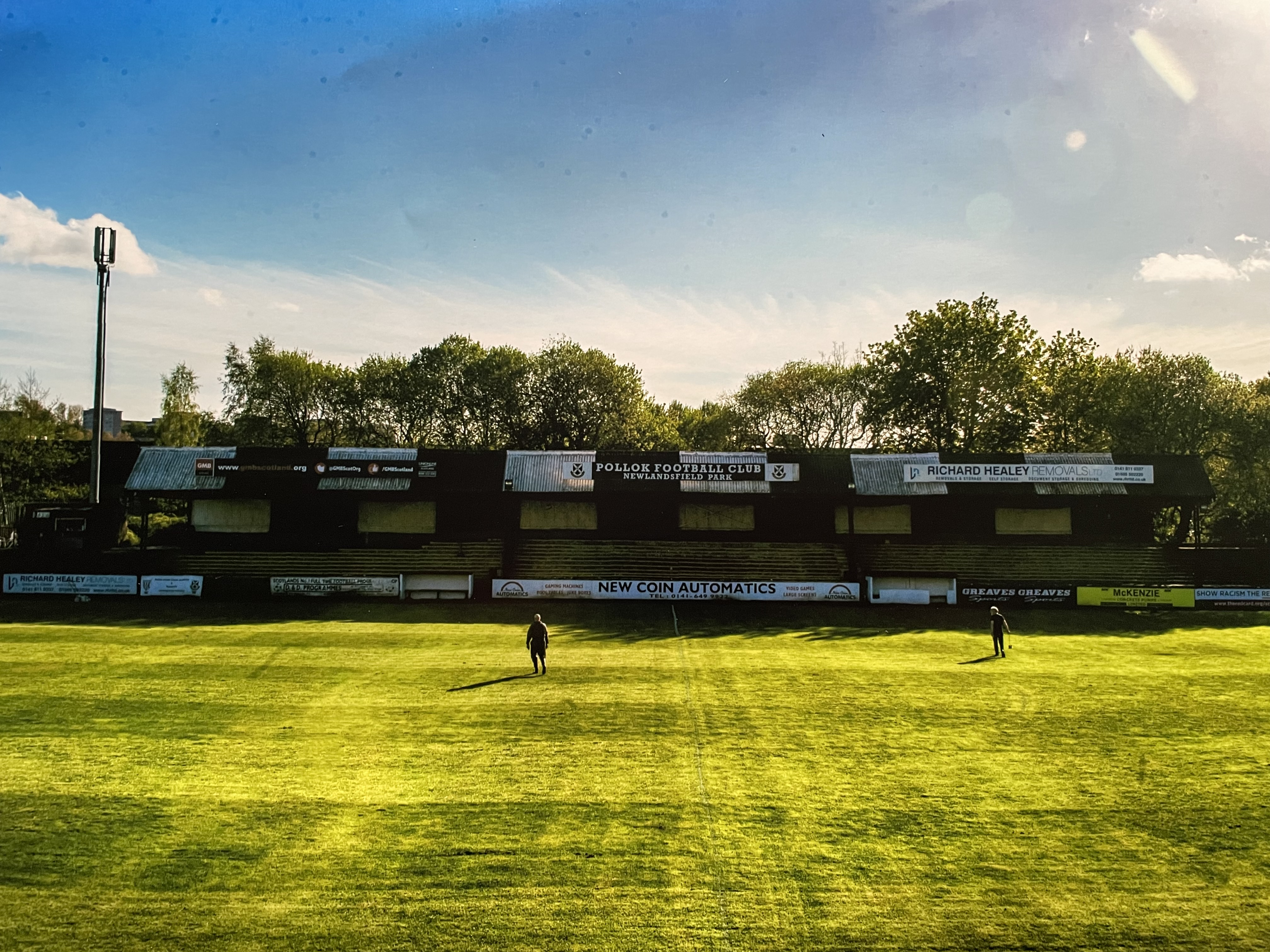
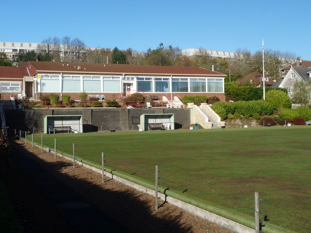
Newlandsfield Park

Newlandsfield Park is a football ground in Newlands, Glasgow, Scotland. It is the home ground of West of Scotland Football League side Pollok F.C. ��2...

Pollok F.C.

Pollok Football Club is a Scottish football club based in Newlands in the southside of the city of Glasgow. The club competes in the West of Scotland Football...

Nearby Amenities

Located within 500m of 55.817843,-4.2927597
Traffic Signals
Lat/Long: 55.8163282/-4.2886039
Traffic Signals
Lat/Long: 55.8199524/-4.2998323
Traffic Signals
Lat/Long: 55.8192184/-4.2971026
Cycleway: asl
Lat/Long: 55.8190922/-4.2975224
Traffic Signals
Traffic Signals: signal
Lat/Long: 55.8178398/-4.2927452
Crossing
Crossing: uncontrolled
Crossing Island: no
Lat/Long: 55.818815/-4.2984226
Traffic Signals
Lat/Long: 55.8217821/-4.2904823
Post Box
Collection Times: Mo-Fr 09:00; Sa 07:00
Operator: Royal Mail
Post Box Type: pillar
Ref: G43 718D
Royal Cypher: GR
Royal Cypher Wikidata: Q33102273
Source: survey
Lat/Long: 55.8218284/-4.2901968
Post Box
Collection Times: Mo-Fr 09:00; Sa 07:00
Operator: Royal Mail
Ref: G43 900
Royal Cypher: GR
Lat/Long: 55.8187729/-4.2981858
Bus Stop
Riverford Road/ Kilmarnock Road
Bus: yes
Naptan AtcoCode: 60903409
Naptan Bearing: SE
Naptan CommonName: Kilmarnock Road
Naptan Indicator: Near
Naptan Landmark: Kilmarnock Road
Naptan NaptanCode: 45237695
Naptan Street: Riverford Road
Public Transport: platform
Ref: 60903409
Source: survey;bing
Lat/Long: 55.8213649/-4.2880265
Bus Stop
Riverford Road/ Lochlea Road
Bus: yes
Naptan AtcoCode: 60903410
Naptan Bearing: NW
Naptan CommonName: Lochlea Road
Naptan Indicator: Near
Naptan Landmark: Lochlea Road
Naptan NaptanCode: 45238983
Naptan Street: Riverford Road
Public Transport: platform
Ref: 60903410
Source: survey;bing
Lat/Long: 55.8214062/-4.2894124
Bus Stop
Kilmarnock Road / Mulberry Road
Bus: yes
Naptan AtcoCode: 60902666
Naptan Bearing: SW
Naptan CommonName: Mulberry Road
Naptan Indicator: before
Naptan Landmark: Mulberry Road
Naptan NaptanCode: 45242587
Naptan Street: Kilmarnock Road
Public Transport: platform
Ref: 60902666
Source: survey
Lat/Long: 55.815246/-4.2895164
Bus Stop
Kilmarnock Road / Calderwood Road
Bus: yes
Naptan AtcoCode: 60902664
Naptan Bearing: SW
Naptan CommonName: Calderwood Road
Naptan Indicator: after
Naptan Landmark: Calderwood Road
Naptan NaptanCode: 45243628
Naptan Street: Kilmarnock Road
Public Transport: platform
Ref: 60902664
Source: survey
Lat/Long: 55.8166002/-4.2882542
Bus Stop
Kilmarnock Road / Carlaverock Road
Bus: yes
Naptan AtcoCode: 60902662
Naptan Bearing: S
Naptan CommonName: Carlaverock Road
Naptan Indicator: after
Naptan Landmark: Carlaverock Road
Naptan NaptanCode: 45235267
Naptan Street: Kilmarnock Road
Public Transport: platform
Ref: 60902662
Source: survey
Lat/Long: 55.8191297/-4.2873166
Bus Stop
Kilmarnock Road / Ledi Road
Bus: yes
Naptan AtcoCode: 60902667
Naptan Bearing: NE
Naptan CommonName: Ledi Road
Naptan Indicator: after
Naptan Landmark: Ledi Road
Naptan NaptanCode: 45234985
Naptan Street: Kilmarnock Road
Public Transport: platform
Ref: 60902667
Shelter: yes
Source: survey
Lat/Long: 55.8140165/-4.2909938
Bus Stop
Kilmarnock Road / Tinto Road
Bus: yes
Naptan AtcoCode: 60902665
Naptan Bearing: NE
Naptan CommonName: Tinto Road
Naptan Indicator: After
Naptan Landmark: Tinto Road
Naptan NaptanCode: 45243864
Naptan Street: Kilmarnock Road
Public Transport: platform
Ref: 60902665
Source: survey
Lat/Long: 55.8159204/-4.2891554
Bus Stop
Kilmarnock Road / Newlands Road
Bench: yes
Bus: yes
Covered: yes
Naptan AtcoCode: 60902661
Naptan Bearing: N
Naptan CommonName: Newlands Road
Naptan Indicator: opp
Naptan Landmark: Newlands Road
Naptan NaptanCode: 45237379
Naptan Street: Kilmarnock Road
Public Transport: platform
Ref: 60902661
Shelter: yes
Source: survey
Lat/Long: 55.820585/-4.2873647
Bus Stop
Hillpark Drive / No 307
Bus: yes
Naptan AtcoCode: 60903670
Naptan Bearing: NW
Naptan CommonName: 307 Hillpark Drive
Naptan Indicator: at
Naptan Landmark: No 307
Naptan NaptanCode: 45242642
Naptan Street: Hill Park Drive
Public Transport: platform
Ref: 60903670
Lat/Long: 55.81771/-4.29832
Bus Stop
Hillpark Drive / No 449
Bus: yes
Naptan AtcoCode: 60903671
Naptan Bearing: NW
Naptan CommonName: 449 Hillpark Drive
Naptan Indicator: opp
Naptan Landmark: No 449
Naptan NaptanCode: 45239464
Naptan Street: Hill Park Drive
Public Transport: platform
Ref: 60903671
Lat/Long: 55.81713/-4.29876
Bus Stop
Hillpark Drive / No 165
Bus: yes
Naptan AtcoCode: 60903669
Naptan Bearing: NW
Naptan CommonName: 165 Hillpark Drive
Naptan Indicator: At
Naptan Landmark: No 165
Naptan NaptanCode: 45235283
Naptan Street: Hillpark Drive
Public Transport: platform
Ref: 60903669
Lat/Long: 55.81669/-4.29443
Bus Stop
Hillpark Drive / No 165
Bus: yes
Naptan AtcoCode: 60902703
Naptan Bearing: SE
Naptan CommonName: 165 Hillpark Drive
Naptan Indicator: opp
Naptan Landmark: No 165
Naptan NaptanCode: 45234683
Naptan Street: Hillpark Drive
Public Transport: platform
Ref: 60902703
Lat/Long: 55.81671/-4.29425
Bus Stop
Hillpark Drive / No 307
Bus: yes
Naptan AtcoCode: 60902704
Naptan Bearing: SE
Naptan CommonName: 307 Hillpark Drive
Naptan Indicator: opp
Naptan Landmark: No 307
Naptan NaptanCode: 45232897
Naptan Street: Hillpark Drive
Public Transport: platform
Ref: 60902704
Lat/Long: 55.81777/-4.29832
Bus Stop
Hillpark Drive / No 449
Bus: yes
Naptan AtcoCode: 60902706
Naptan Bearing: SE
Naptan CommonName: 449 Hillpark Drive
Naptan Indicator: at
Naptan Landmark: No 449
Naptan NaptanCode: 45239567
Naptan Street: Hillpark Drive
Public Transport: platform
Ref: 60902706
Lat/Long: 55.81722/-4.29894
Bus Stop
Hillpark Drive / No 520
Bus: yes
Naptan AtcoCode: 60903785
Naptan Bearing: NW
Naptan CommonName: 520 Hillpark Drive
Naptan Indicator: at
Naptan Landmark: No 520
Naptan NaptanCode: 45245698
Naptan Street: Hillpark Drive
Public Transport: platform
Ref: 60903785
Lat/Long: 55.81688/-4.29643
Bus Stop
Hillpark Drive / No 520
Bus: yes
Naptan AtcoCode: 60902707
Naptan Bearing: SE
Naptan CommonName: 520 Hillpark Drive
Naptan Indicator: opp
Naptan Landmark: No 520
Naptan NaptanCode: 45242325
Naptan Street: Hillpark Drive
Public Transport: platform
Ref: 60902707
Lat/Long: 55.81695/-4.29639
Bus Stop
Pentland Road / No 140
Bus: yes
Naptan AtcoCode: 60902710
Naptan Bearing: SW
Naptan CommonName: Pentland Road
Naptan Indicator: opp 140
Naptan Landmark: No 140
Naptan NaptanCode: 45239695
Naptan Street: Pentland Road
Public Transport: platform
Ref: 60902710
Lat/Long: 55.81573/-4.29488
Bus Stop
Pentland Road / No 140
Bus: yes
Naptan AtcoCode: 60903674
Naptan Bearing: NE
Naptan CommonName: Pentland Road
Naptan Indicator: at 140
Naptan Landmark: No 140
Naptan NaptanCode: 45242464
Naptan Street: Pentland Road
Public Transport: platform
Ref: 60903674
Lat/Long: 55.81582/-4.29497
Bus Stop
Alloway Road / Lochlea Road
Bus: yes
Naptan AtcoCode: 60903994
Naptan Bearing: E
Naptan CommonName: Lochlea Road
Naptan Indicator: before
Naptan Landmark: Lochlea Road
Naptan NaptanCode: 45293484
Naptan Street: Alloway Road
Public Transport: platform
Ref: 60903994
Lat/Long: 55.81956/-4.29072
Bus Stop
Alloway Road / Mossgiel Road
Bus: yes
Naptan AtcoCode: 60902691
Naptan Bearing: W
Naptan CommonName: Mossgiel Road
Naptan Indicator: before
Naptan Landmark: Mossgiel Road
Naptan NaptanCode: 45242329
Naptan Street: Alloway Road
Public Transport: platform
Ref: 60902691
Lat/Long: 55.81927/-4.2883
Bus Stop
Alloway Road / Mossgiel Road
Bus: yes
Naptan AtcoCode: 60903667
Naptan Bearing: E
Naptan CommonName: Mossgiel Road
Naptan Indicator: Opp
Naptan Landmark: Mossgiel Road
Naptan NaptanCode: 45239769
Naptan Street: Alloway Road
Public Transport: platform
Ref: 60903667
Lat/Long: 55.81941/-4.28874
Bus Stop
Alloway Road / Lochlea Road
Bus: yes
Naptan AtcoCode: 60903995
Naptan Bearing: W
Naptan CommonName: Lochlea Road
Naptan Indicator: opp
Naptan Landmark: Lochlea Road
Naptan NaptanCode: 45293485
Naptan Street: Alloway road
Public Transport: platform
Ref: 60903995
Lat/Long: 55.8194/-4.29018
Bus Stop
Craiganour Street / Nether Auldhouse Road
Bench: no
Bin: no
Bus: yes
Lit: yes
Naptan AtcoCode: 60903668
Naptan Bearing: SW
Naptan CommonName: Holeburn Lane
Naptan Indicator: Opp
Naptan Landmark: Nether Auldhouse Road
Naptan NaptanCode: 45238738
Naptan Street: Craiganour Street
Public Transport: platform
Ref: 60903668
Shelter: no
Tactile Paving: no
Lat/Long: 55.81745/-4.29307
Bus Stop
Craiganour Street / Nether Auldhouse Road
Bench: no
Bin: yes
Bus: yes
Lit: yes
Naptan AtcoCode: 60902702
Naptan Bearing: NE
Naptan CommonName: Holeburn Lane
Naptan Indicator: after
Naptan Landmark: Nether Auldhouse Road
Naptan NaptanCode: 45235642
Naptan Street: Craiganour Street
Public Transport: platform
Ref: 60902702
Shelter: no
Tactile Paving: no
Lat/Long: 55.81762/-4.29308
Bus Stop
Glemspean Street / Beaufort Avenue
Bus: yes
Naptan AtcoCode: 60903996
Naptan Bearing: SW
Naptan CommonName: Beaufort Avenue
Naptan Indicator: opp
Naptan Landmark: Beaufort Avenue
Naptan NaptanCode: 45293486
Naptan Street: Glemspean Street
Public Transport: platform
Ref: 60903996
Lat/Long: 55.81844/-4.29198
Bus Stop
Glenspean Street / Beaufort Avenue
Bus: yes
Naptan AtcoCode: 60903997
Naptan Bearing: NE
Naptan CommonName: Beaufort Avenue
Naptan Indicator: before
Naptan Landmark: Beaufort Avenue
Naptan NaptanCode: 45293487
Naptan Street: Glenspean Street
Public Transport: platform
Ref: 60903997
Lat/Long: 55.81839/-4.29232
Bus Stop
Hillpark Drive / No 600
Bus: yes
Naptan AtcoCode: 60902708
Naptan Bearing: S
Naptan CommonName: 600 Hillpark Drive
Naptan Indicator: opp
Naptan Landmark: No 600
Naptan NaptanCode: 45238739
Naptan Street: Hillpark Drive
Public Transport: platform
Ref: 60902708
Lat/Long: 55.8159924/-4.2957026
Bus Stop
Kilmarnock Road / Carlaverock Road
Bus: yes
Naptan AtcoCode: 60902663
Naptan Bearing: N
Naptan CommonName: Carlaverock Road
Naptan Indicator: opp
Naptan Landmark: Carlaverock Road
Naptan NaptanCode: 45243786
Naptan Street: Kilmarnock Road
Public Transport: platform
Ref: 60902663
Lat/Long: 55.8191/-4.28751
Bus Stop
Tinto Road / Cheviot Road
Bus: yes
Naptan AtcoCode: 60902711
Naptan Bearing: NE
Naptan CommonName: Cheviot Road
Naptan Indicator: after
Naptan Landmark: Cheviot Road
Naptan NaptanCode: 45235938
Naptan Street: Tinto Road
Public Transport: platform
Ref: 60902711
Lat/Long: 55.81513/-4.29205
Bus Stop
Tinto Road / Ledi Road
Bus: yes
Naptan AtcoCode: 60902712
Naptan Bearing: NE
Naptan CommonName: Hillpark Bowling Club
Naptan Indicator: At
Naptan Landmark: Ledi Road
Naptan NaptanCode: 45234869
Naptan Street: Tinto Road
Public Transport: platform
Ref: 60902712
Lat/Long: 55.81402/-4.29379
Bus Stop
Hillpark Drive / No 600
Bus: yes
Naptan AtcoCode: 60903673
Naptan Bearing: N
Naptan CommonName: 600 Hillpark Drive
Naptan Indicator: at
Naptan Landmark: No 600
Naptan NaptanCode: 45232962
Naptan Street: Hillpark Drive
Public Transport: platform
Ref: 60903673
Lat/Long: 55.8160095/-4.2958888
Bus Stop
Tinto Road / Cheviot Road
Bus: yes
Naptan AtcoCode: 60903675
Naptan Bearing: SW
Naptan CommonName: Cheviot Road
Naptan Indicator: Opp
Naptan Landmark: Cheviot Road
Naptan NaptanCode: 45235635
Naptan Street: Tinto Road
Public Transport: platform
Ref: 60903675
Lat/Long: 55.81493/-4.29206
Bus Stop
Tinto Road / Ledi Road
Bus: yes
Naptan AtcoCode: 60903676
Naptan Bearing: SW
Naptan CommonName: Hillpark Bowling Club
Naptan Indicator: Opp
Naptan Landmark: Ledi Road
Naptan NaptanCode: 45242796
Naptan Street: Tinto Road
Public Transport: platform
Ref: 60903676
Lat/Long: 55.81398/-4.2936
Hillpark
Is In: Glasgow
Place: suburb
Wikidata: Q5763378
Wikipedia: en:Hillpark
Lat/Long: 55.8157255/-4.2956857
Auldhouse
Name Sco: Auldhoose
Place: suburb
Population: 6000
Wikidata: Q4821761
Wikipedia: en:Auldhouse, Glasgow
Lat/Long: 55.8192605/-4.2928535
Cycleway: asl
Lat/Long: 55.8218642/-4.2905801
Cycleway: asl
Lat/Long: 55.8193317/-4.2975367
Barrier: bollard
Bollard: fixed
Lat/Long: 55.818749/-4.2982654
Telephone
Defibrillator
Access: yes
Booth: K6
Covered: booth
Defibrillator Location: inside old red phone box at junction of Lochlea Road and Auldhouse Road, Pollokshaws
Emergency: defibrillator
Listed Status: Category B
Man Made: telephone_box
Old Phone: +44 141 632 3693
Source: survey
Lat/Long: 55.8218898/-4.2899794
Cycleway: asl
Lat/Long: 55.8201162/-4.2996561
Cycleway: asl
Lat/Long: 55.8216716/-4.2903539
Cycleway: asl
Lat/Long: 55.8217118/-4.290682
Veterinary
Vets4Pets Pollokshaws
Addr City: Glasgow
Addr Housename: Inside Pets at Home, 4, Auldhouse Retail Park
Addr Postcode: G43 1AP
Addr Street: Cogan Street
Opening Hours: Mo-Sa 09:00-18:00
Operator: Vets4Pets
Phone: +44 141 636 7190
Lat/Long: 55.8207827/-4.2963703
The Groom Room Glasgow Pollokshaws
Addr City: Glasgow
Addr Housename: Inside Pets at Home, 4, Auldhouse Retail Park
Addr Postcode: G43 1AP
Addr Street: Cogan Street
Operator: The Groom Room
Shop: pet_grooming
Website: https://community.petsathome.com/groom-room/glasgow-pollokshaws/
Lat/Long: 55.8207505/-4.2964571
Bench
Lat/Long: 55.819132/-4.2983172
Bench
Lat/Long: 55.8190341/-4.2985908
Bench
Lat/Long: 55.818961/-4.2988
Cycleway: asl
Lat/Long: 55.8218579/-4.2902732
Communication Mobile Phone: yes
Man Made: mast
Tower Construction: freestanding
Tower Type: communication
Lat/Long: 55.8221136/-4.2910507
Waste Basket
Colour: black
Lat/Long: 55.8221319/-4.29207
Waste Basket
Colour: black
Lat/Long: 55.820923/-4.2933858
Crossing
Crossing: traffic_signals
Crossing Island: no
Tactile Paving: yes
Lat/Long: 55.81353/-4.2913048
Traffic Calming: cushion
Lat/Long: 55.813647/-4.2942924
Traffic Calming: cushion
Lat/Long: 55.8174895/-4.2966035
Cycleway: asl
Lat/Long: 55.8177125/-4.2928762
Crossing
Crossing: traffic_signals
Lat/Long: 55.8191173/-4.2974471
Crossing
Crossing: traffic_signals
Lat/Long: 55.8193103/-4.2974628
Crossing
Crossing: traffic_signals
Lat/Long: 55.819333/-4.2968371
Cycleway: asl
Lat/Long: 55.8193582/-4.2967785
Crossing
Crossing: traffic_signals
Lat/Long: 55.8191437/-4.2968438
Crossing
Crossing: traffic_signals
Lat/Long: 55.8198857/-4.2996138
Cycleway: asl
Lat/Long: 55.8198524/-4.2995046
Crossing
Crossing: traffic_signals
Lat/Long: 55.8200627/-4.2997136
Crossing
Crossing: traffic_signals
Lat/Long: 55.8177881/-4.2926037
Crossing
Crossing: traffic_signals
Lat/Long: 55.8179106/-4.2926742
Crossing
Crossing: traffic_signals
Lat/Long: 55.8178892/-4.2928819
Crossing
Crossing: traffic_signals
Lat/Long: 55.8177687/-4.2928184
Crossing
Crossing: traffic_signals
Lat/Long: 55.8162925/-4.2884997
Crossing
Crossing: traffic_signals
Lat/Long: 55.8164066/-4.2885285
Crossing
Crossing: traffic_signals
Lat/Long: 55.8163978/-4.2887932
Crossing
Crossing: traffic_signals
Lat/Long: 55.8162586/-4.2886742
Traffic Calming: cushion
Lat/Long: 55.8146683/-4.292578
Crossing
Crossing: traffic_signals
Lat/Long: 55.8217389/-4.2906051
Crossing
Crossing: traffic_signals
Lat/Long: 55.8218326/-4.2905424
Crossing
Crossing: traffic_signals
Lat/Long: 55.8218245/-4.2903652
Crossing
Crossing: traffic_signals
Lat/Long: 55.821732/-4.2904276
The data included in this document is from www.openstreetmap.org. The data is made available under ODbL.

Have you been to Auldhouse?

Leave your review of Auldhouse below (or comments, questions and feedback).