Auchininna
Settlement in Banffshire
Scotland
Auchininna
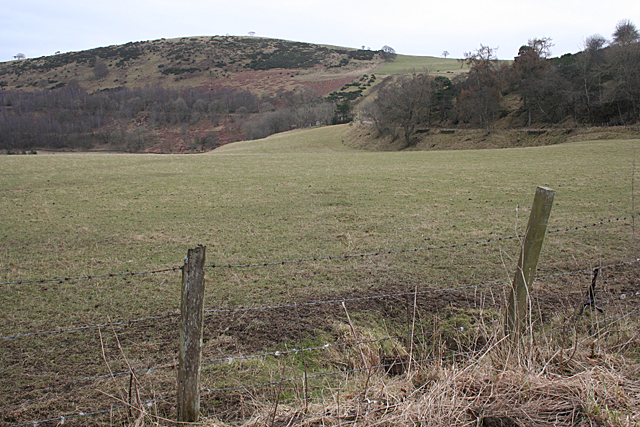
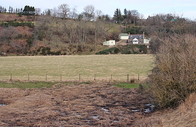
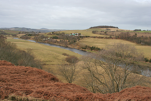
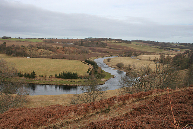
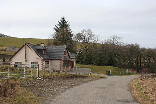
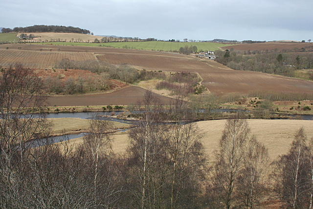
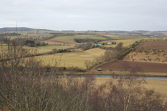
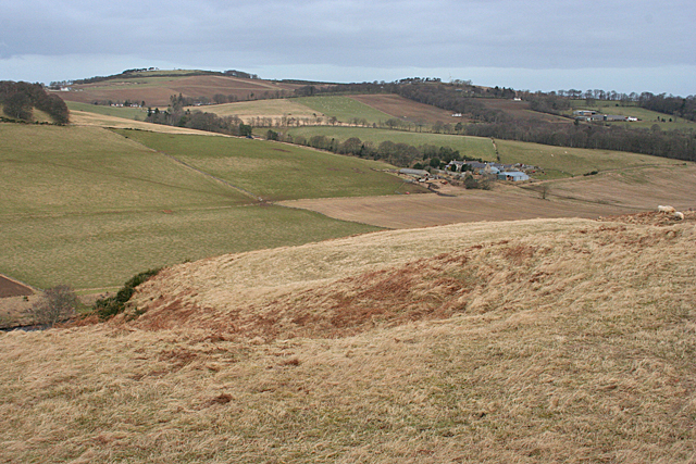
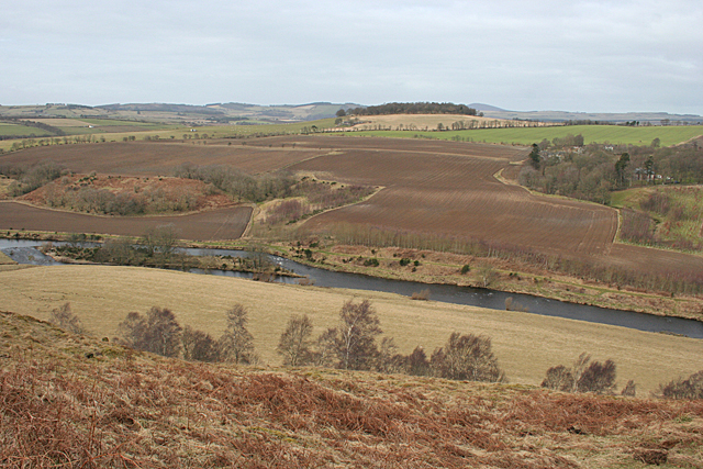
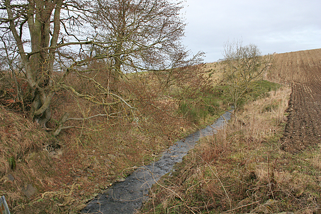
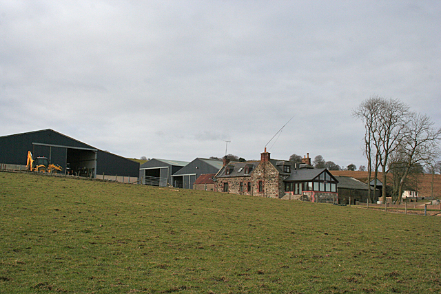
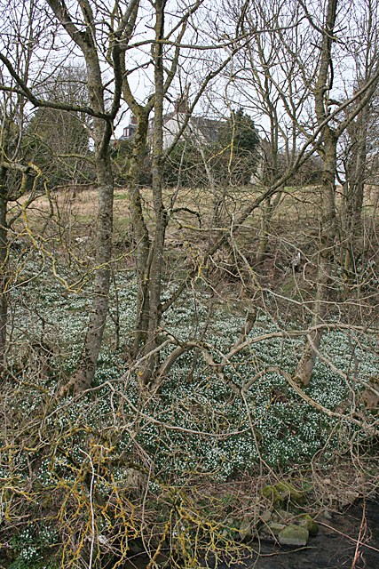
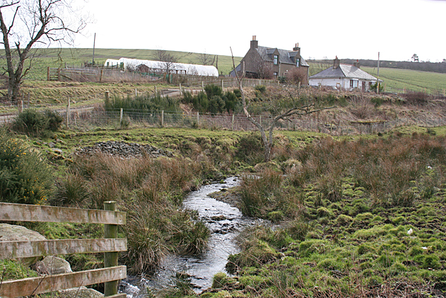
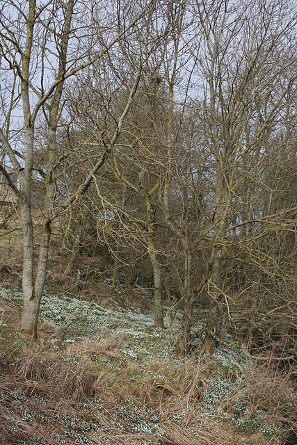
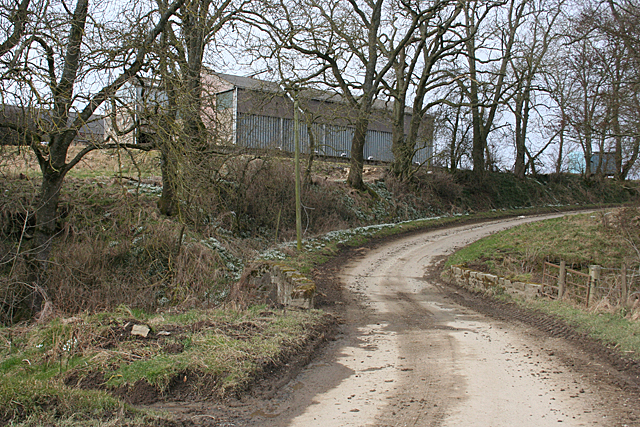
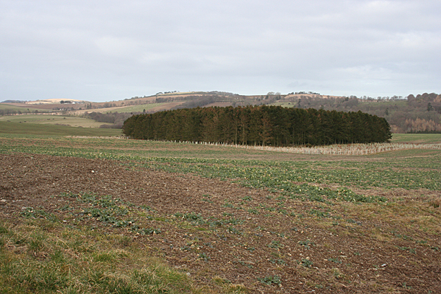
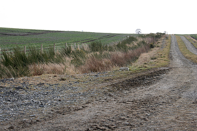
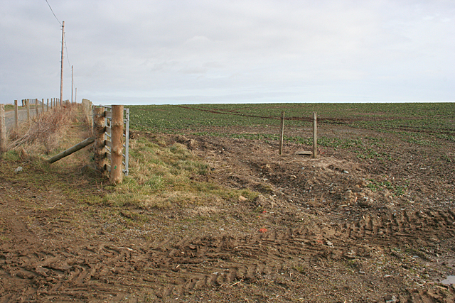
Auchininna is a small village located in the county of Banffshire, Scotland. Situated in the northeastern part of the country, it falls within the Aberdeenshire council area. The village is surrounded by picturesque countryside, with rolling hills and lush green fields, providing a tranquil and scenic setting.
With a population of approximately 300 residents, Auchininna maintains a close-knit community atmosphere. The village is primarily residential, with a few local businesses catering to the needs of the residents. The main economic activities in the area revolve around agriculture and tourism.
Auchininna is well-connected to nearby towns and cities through a network of roads, making it easily accessible for visitors. The village is approximately 10 miles away from the larger town of Banff, where residents can find a wider range of amenities and services.
Nature enthusiasts and outdoor lovers will find plenty to explore in the surrounding area. The nearby Cairngorms National Park offers a vast expanse of natural beauty, including mountains, forests, and lochs. Outdoor activities such as hiking, cycling, and wildlife spotting are popular among locals and visitors alike.
The village also boasts a rich cultural heritage. It is home to several historic sites, including the Auchininna Castle, which dates back to the 16th century. The castle, although in ruins, still stands as a testament to the area's history and attracts history buffs and architecture enthusiasts.
Overall, Auchininna is a charming village that offers a peaceful retreat amidst stunning natural landscapes, making it an ideal destination for those seeking relaxation and a taste of Scotland's rural beauty.
If you have any feedback on the listing, please let us know in the comments section below.
Auchininna Images
Images are sourced within 2km of 57.510206/-2.5859108 or Grid Reference NJ6446. Thanks to Geograph Open Source API. All images are credited.
Auchininna is located at Grid Ref: NJ6446 (Lat: 57.510206, Lng: -2.5859108)
Unitary Authority: Aberdeenshire
Police Authority: North East
What 3 Words
///loves.essay.recipient. Near Aberchirder, Aberdeenshire
Nearby Locations
Related Wikis

Inverkeithny
Inverkeithny is a village in the Formartine area of Aberdeenshire, Scotland. The village lies near where the Burn of Forgue flows into the River Deveron...
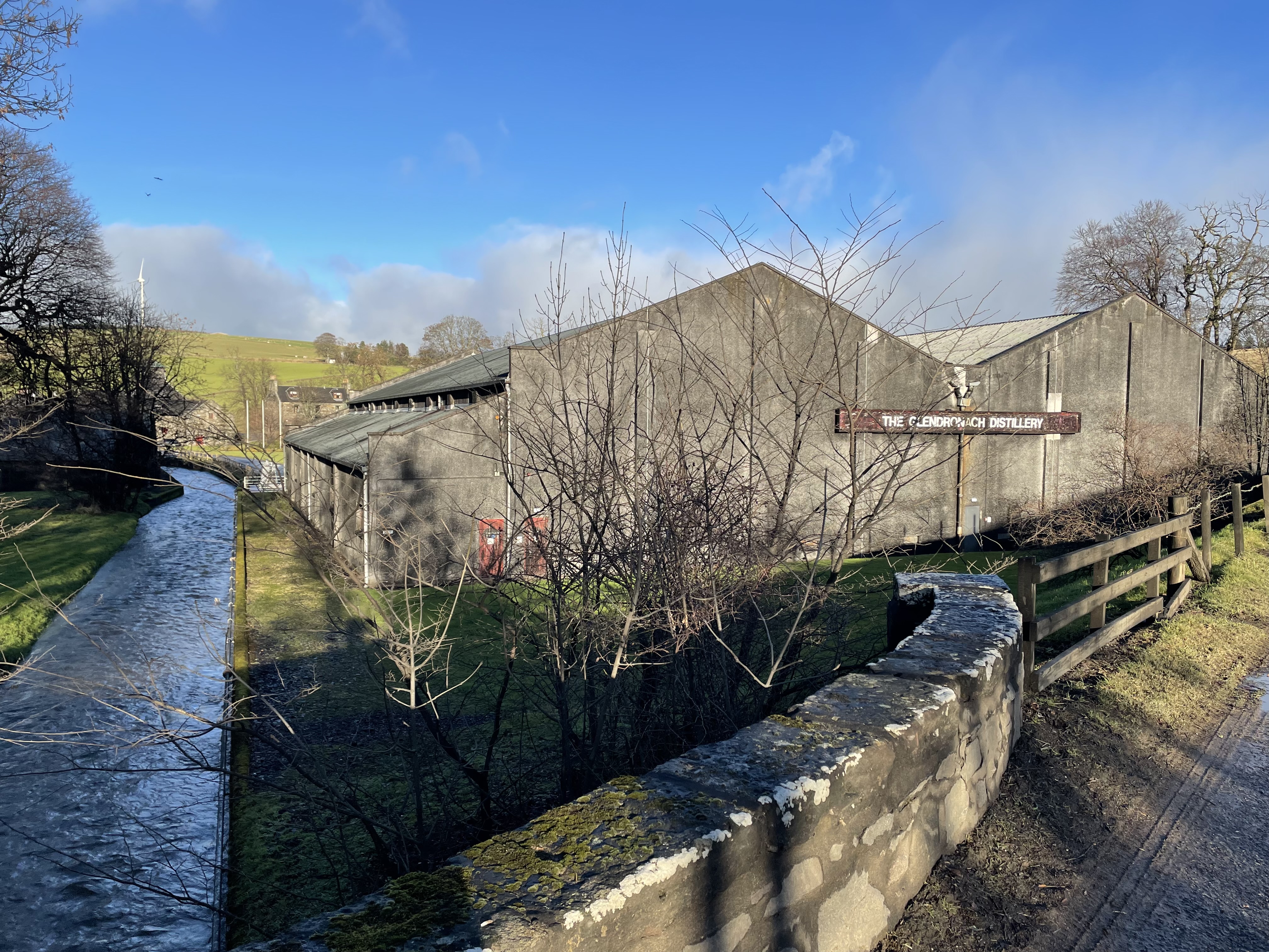
Glendronach distillery
Glendronach distillery is a Scottish whisky distillery located near Forgue, by Huntly, Aberdeenshire, in the Highland whisky district. It was owned by...

Bogton
Bogton is a rural area in Aberdeenshire, Scotland. To the south is Whitehill Wood and megalithic circle. == References ==

Whitehill Wood, Aberdeenshire
Whitehill Wood is a wood and megalithic stone circle in Aberdeenshire, Scotland, located off the B9025 road between Aberchirder and Turriff and between...

Forgue
Forgue is a hamlet in Aberdeenshire. It lies 35 miles (56 km) northwest of Aberdeen and 8 miles (13 km) northeast of Huntly. The Glendronach distillery...

Yonder Bognie
Yonder Bognie is a stone circle in Aberdeenshire, Scotland. It is located in an agricultural field under private ownership and is a scheduled monument...
Dorlaithers Castle
Dorlaithers Castle was a castle about 2.5 miles (4.0 km) south-west of Turriff, Aberdeenshire, Scotland at Dorlaithers, south of the burn of Gask. It may...
Frendraught Castle
Frendraught Castle or House is a 17th-century house, about 6 miles (9.7 km) east of Huntly, Aberdeenshire, Scotland, and 1 mile (1.6 km) west of Largue...
Nearby Amenities
Located within 500m of 57.510206,-2.5859108Have you been to Auchininna?
Leave your review of Auchininna below (or comments, questions and feedback).