Auchintoul

Settlement in Sutherland

Scotland

Auchintoul

Road junction near Badfluich
Road junction near Badfluich Credit: Gordon Brown

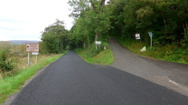
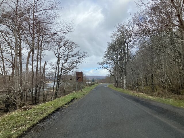
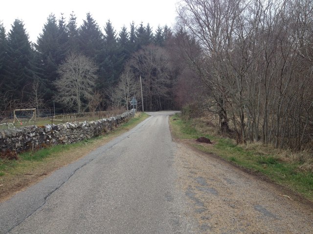
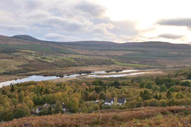
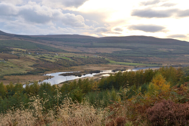
Auchintoul is a small village located in the historic county of Sutherland, in the Highland region of Scotland. Situated amidst the stunning landscape of the Northern Highlands, Auchintoul is nestled in a remote and tranquil setting, surrounded by rolling hills and vast moorland.

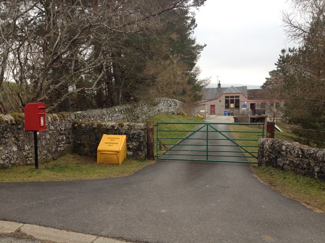
The village is characterized by its traditional Scottish architecture, with stone-built houses and cottages that blend harmoniously with the natural beauty of the area. The population of Auchintoul is relatively small, with only a few dozen residents, contributing to the peaceful and close-knit community atmosphere.

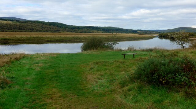
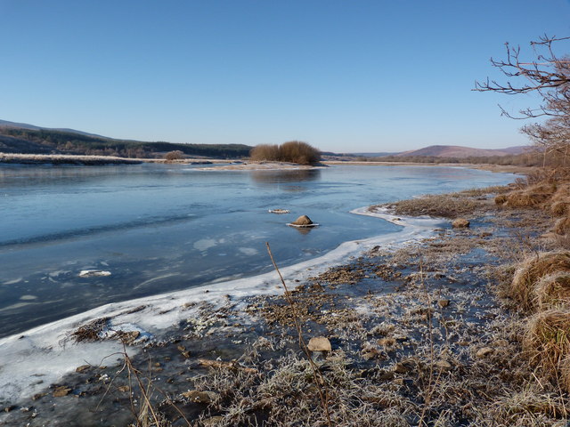
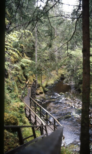
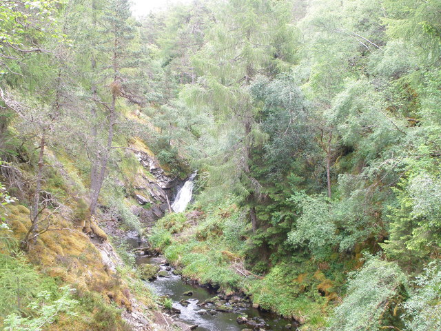
Auchintoul benefits from its picturesque location, offering breathtaking views of the surrounding countryside, including the nearby Ben Griam Beg mountain. The area is a haven for outdoor enthusiasts, with ample opportunities for hiking, cycling, and wildlife spotting. The nearby Loch Shin and River Cassley are popular spots for fishing, attracting anglers from far and wide.

Despite its remote location, Auchintoul is not far from basic amenities and services. The nearest town, Lairg, is around 8 miles away and offers a range of facilities including shops, a post office, and a primary school. The village is well-connected by road, making it accessible to those traveling by car.

Auchintoul is a hidden gem, offering a peaceful retreat for those seeking tranquility and a connection with nature. With its stunning scenery and warm community spirit, the village provides a unique and authentic Scottish Highland experience.

If you have any feedback on the listing, please let us know in the comments section below.
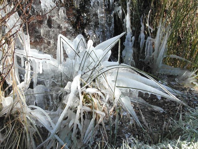
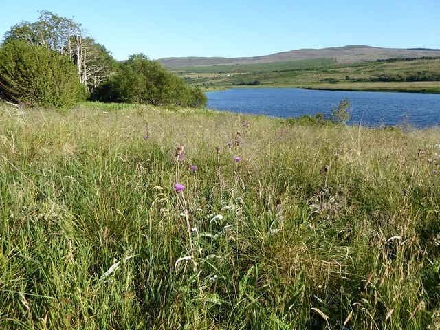
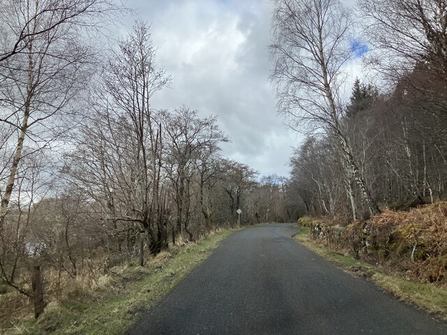
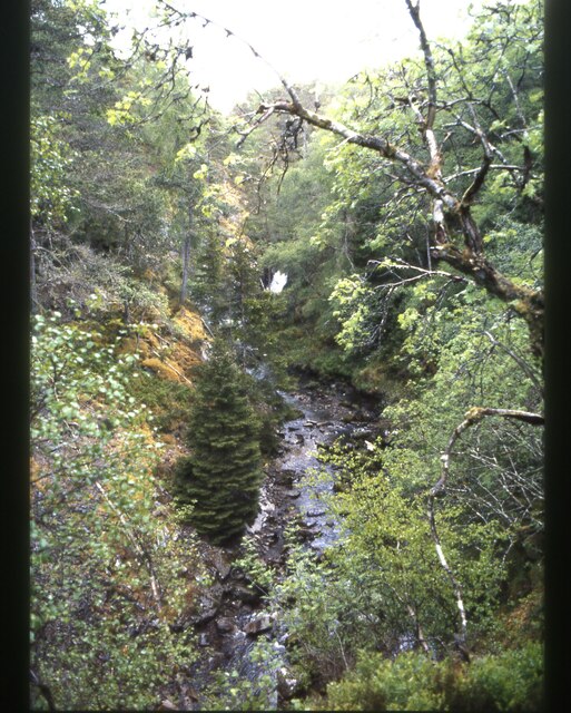
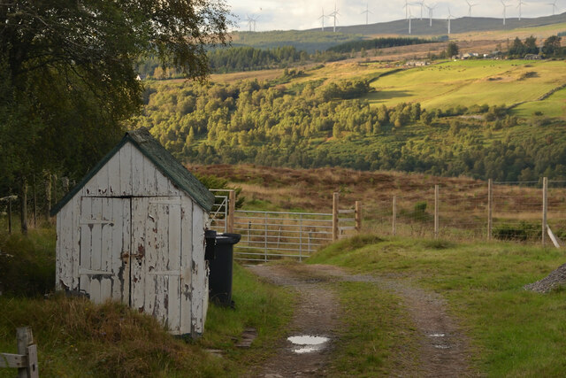
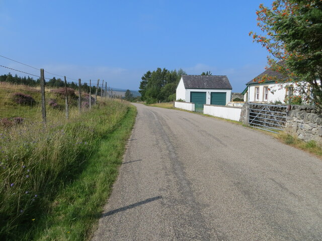
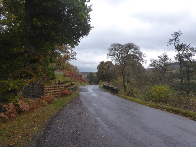
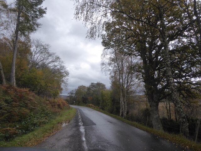
Auchintoul Images

Images are sourced within 2km of 57.963736/-4.5143889 or Grid Reference NH5199. Thanks to Geograph Open Source API. All images are credited.

Road junction near Badfluich
Bench by the Kyle of Sutherland This looks rather like the River Oykel but is in fact the Kyle of Sutherland.  The kyle stretches inland for about 20Km from Bonar Bridge.
Bench by the Kyle of Sutherland
This looks rather like the River Oykel but is in fact the Kyle of Sutherland. The kyle stretches inland for about 20Km from Bonar Bridge.
A837 near Altass
A837 near Altass
Kyle of Sutherland Rimmed with ice on this cold February day.
Kyle of Sutherland
Rimmed with ice on this cold February day.
Ice sculptures by the A837 Iced grasses at the edge of a small tumbling burn.
Ice sculptures by the A837
Iced grasses at the edge of a small tumbling burn.
Grassy shore of the Kyle of Sutherland near Altass
A837 near Altass
A837 near Altass
View from bridge of Ravens Rock Gorge
Looking down to the walkway that got me up here
Waterfall on the Allt Mor Ravens Rock Gorge
Entrance to Rosehall School
Minor road near Altass
Old Shed at Achnahanat, Ross-shire Next to a track leading down to a farm house at Achnahanat, by the Kyle of Sutherland, Scottish Highlands
Old Shed at Achnahanat, Ross-shire
Next to a track leading down to a farm house at Achnahanat, by the Kyle of Sutherland, Scottish Highlands
Minor road at the Old Choolhouse, Achnahanat Looking westward.
Minor road at the Old Choolhouse, Achnahanat
Looking westward.
Bridge over A837 near Tullich
A837 near Auchintoul, Sutherland
Autumn at Woodburn, Kyle of Sutherland, Scottish Highlands View from the track in Linsidemore Woods over the Kyle of Sutherland and River Oykel.
Autumn at Woodburn, Kyle of Sutherland, Scottish Highlands
View from the track in Linsidemore Woods over the Kyle of Sutherland and River Oykel.
View over Kyle of Sutherland from Linsidemore Wood, Sutherland The water in the valley is the River Oykel.
View over Kyle of Sutherland from Linsidemore Wood, Sutherland
The water in the valley is the River Oykel.
Show me another place!

Auchintoul is located at Grid Ref: NH5199 (Lat: 57.963736, Lng: -4.5143889)

Unitary Authority: Highland

Police Authority: Highlands and Islands

What 3 Words

///blackmail.munched.shelving. Near Lairg, Highland

Nearby Locations

Auchintoul

Related Wikis

Altass

Altass (Scottish Gaelic: Alltais) is a village in the Parish of Creich, near Lairg, Sutherland, within the Highland, Scotland and is in the council area...

Achnahanat

Achnahanat (Scottish Gaelic: Achadh na h-Annaid) is a crofting settlement on the south side of the Kyle of Sutherland in Scotland. It is about 4 miles...

Linsidemore

Linsidemore (Scottish Gaelic: Lianasaid Mhòr) is a tiny township on the north bank of the Kyle of Sutherland in the Scottish Highlands. It is about 3 miles...

Battle of Aldy Charrish

The Battle of Aldy Charrish (also known as the Battle of Auldicharish, Aldicharrish, Aldecharwis, Alt a'Charrais, Alt Charrais, Alt na Charrais) was a...

Nearby Amenities

Located within 500m of 57.963736,-4.5143889
Barrier: cattle_grid
Source: survey
Lat/Long: 57.9641257/-4.5096358
Power: pole
Lat/Long: 57.9634773/-4.5215805
Power: pole
Lat/Long: 57.9633683/-4.5203963
Power: pole
Lat/Long: 57.9632393/-4.5190045
Power: pole
Lat/Long: 57.963113/-4.5166514
Power: pole
Lat/Long: 57.9626697/-4.5145495
Power: pole
Lat/Long: 57.9625494/-4.5136764
Power: pole
Lat/Long: 57.9623532/-4.5122663
Power: pole
Lat/Long: 57.9622458/-4.5114691
Power: pole
Lat/Long: 57.9628184/-4.5156109
Power: pole
Lat/Long: 57.9620974/-4.5104207
Power: pole
Lat/Long: 57.9619427/-4.5093207
Power: pole
Lat/Long: 57.9617761/-4.5081477
Power: pole
Lat/Long: 57.9616461/-4.507159
The data included in this document is from www.openstreetmap.org. The data is made available under ODbL.

Have you been to Auchintoul?

Leave your review of Auchintoul below (or comments, questions and feedback).