Astley Village
Settlement in Lancashire Chorley
England
Astley Village
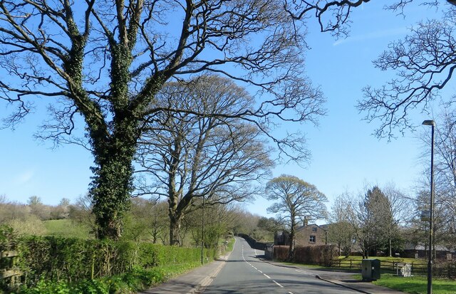
Astley Village is a suburban housing development located in the borough of Chorley, Lancashire, England. Situated approximately two miles southeast of the town center, it is bordered by the A6 road to the west and encompasses an area of about 0.5 square miles. The village was established in the late 1960s as a planned community, designed to offer affordable housing in a picturesque countryside setting.
The housing in Astley Village mainly consists of semi-detached and terraced houses, with a mix of privately-owned and social housing properties. The village is known for its well-maintained green spaces and tree-lined streets, providing a pleasant environment for its residents. Additionally, there are several small parks and play areas distributed throughout the neighborhood, contributing to a family-friendly atmosphere.
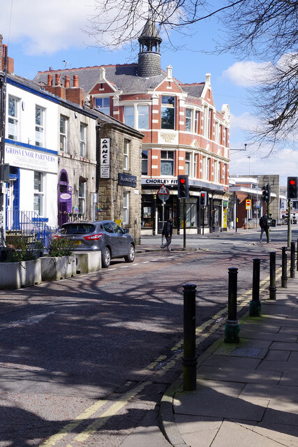
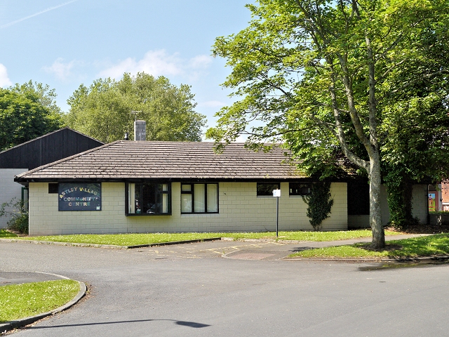
Astley Village is equipped with essential amenities such as a primary school, a convenience store, a pharmacy, and a community center. The village also benefits from excellent transport links, with regular bus services connecting it to Chorley town center and nearby areas. Moreover, the proximity to the A6 road allows for easy access to major motorways, including the M61 and M6, facilitating commuting to larger cities like Manchester and Preston.
Overall, Astley Village offers a peaceful residential setting with a strong sense of community. Its convenient location, range of amenities, and attractive surroundings make it an appealing place to live for individuals and families alike.
If you have any feedback on the listing, please let us know in the comments section below.
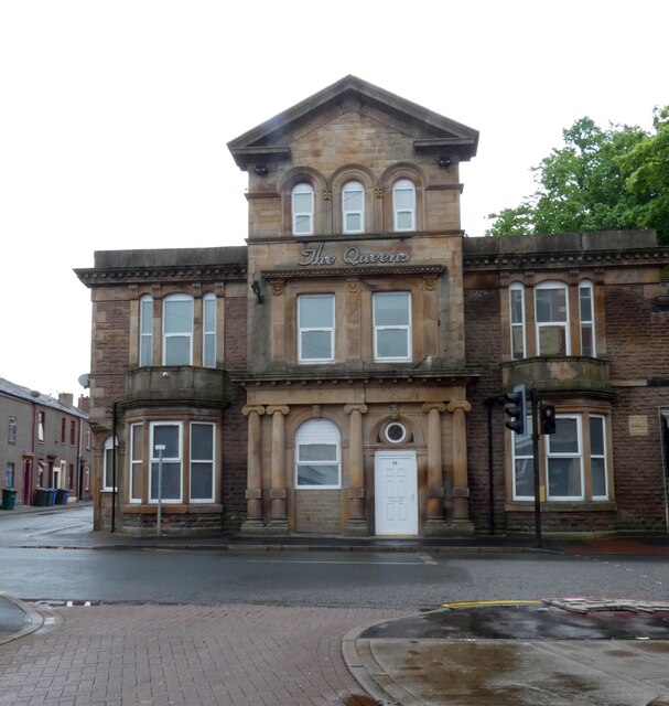
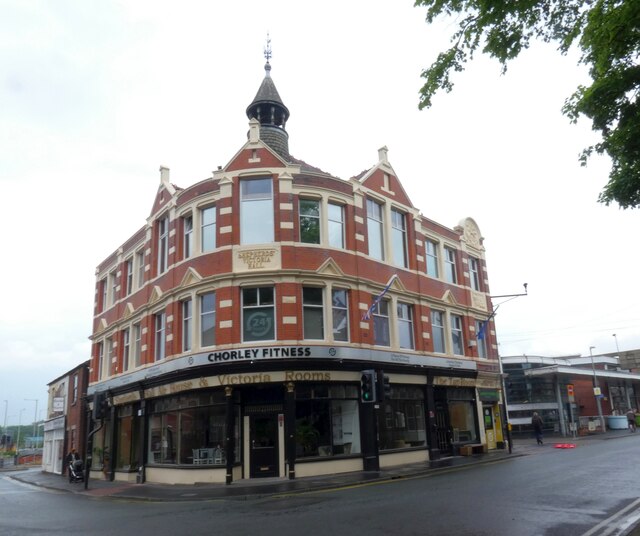
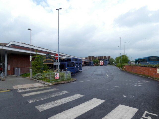
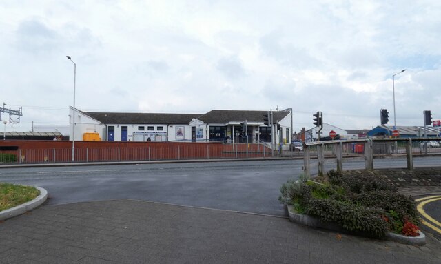
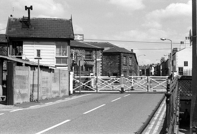
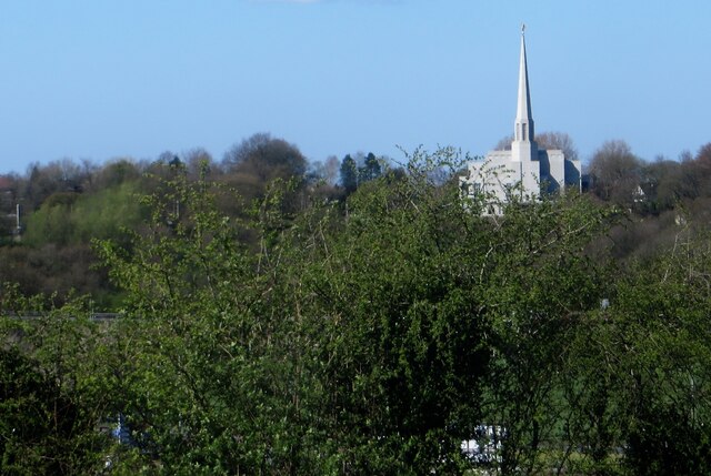
Astley Village Images
Images are sourced within 2km of 53.662378/-2.6452223 or Grid Reference SD5718. Thanks to Geograph Open Source API. All images are credited.


Astley Village is located at Grid Ref: SD5718 (Lat: 53.662378, Lng: -2.6452223)
Administrative County: Lancashire
District: Chorley
Police Authority: Lancashire
What 3 Words
///calculating.complains.tigers. Near Chorley, Lancashire
Nearby Locations
Related Wikis
Astley Village
Astley Village is a civil parish in the Borough of Chorley in Lancashire, England, covering a suburb of Chorley. According to the 2011 census, its population...
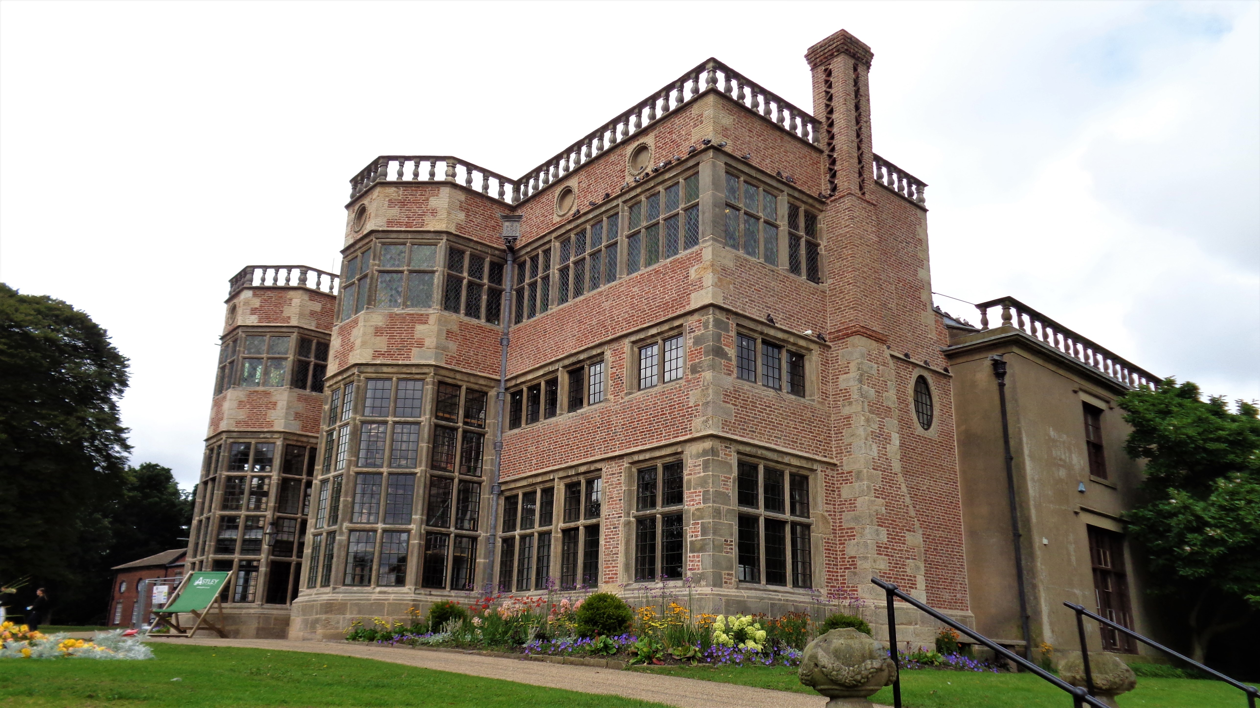
Astley Hall, Chorley
Astley Hall is a country house in Chorley, Lancashire, England. The building is now owned by the town and is known as Astley Hall Museum and Art Gallery...

Pestalozzi International Village
Pestalozzi International Foundation (formerly called Pestalozzi Children's Village Trust and then Pestalozzi International Village Trust) is an educational...

St Michael's Church of England High School, Chorley
St Michael's is a Church of England secondary school located in the town of Chorley, Lancashire, England. The school is home to 1,200 pupils, and is a...

Parklands High School, Chorley
Parklands High School is a coeducational secondary school with academy status located in Chorley, Lancashire, England. The school has been judged "good...
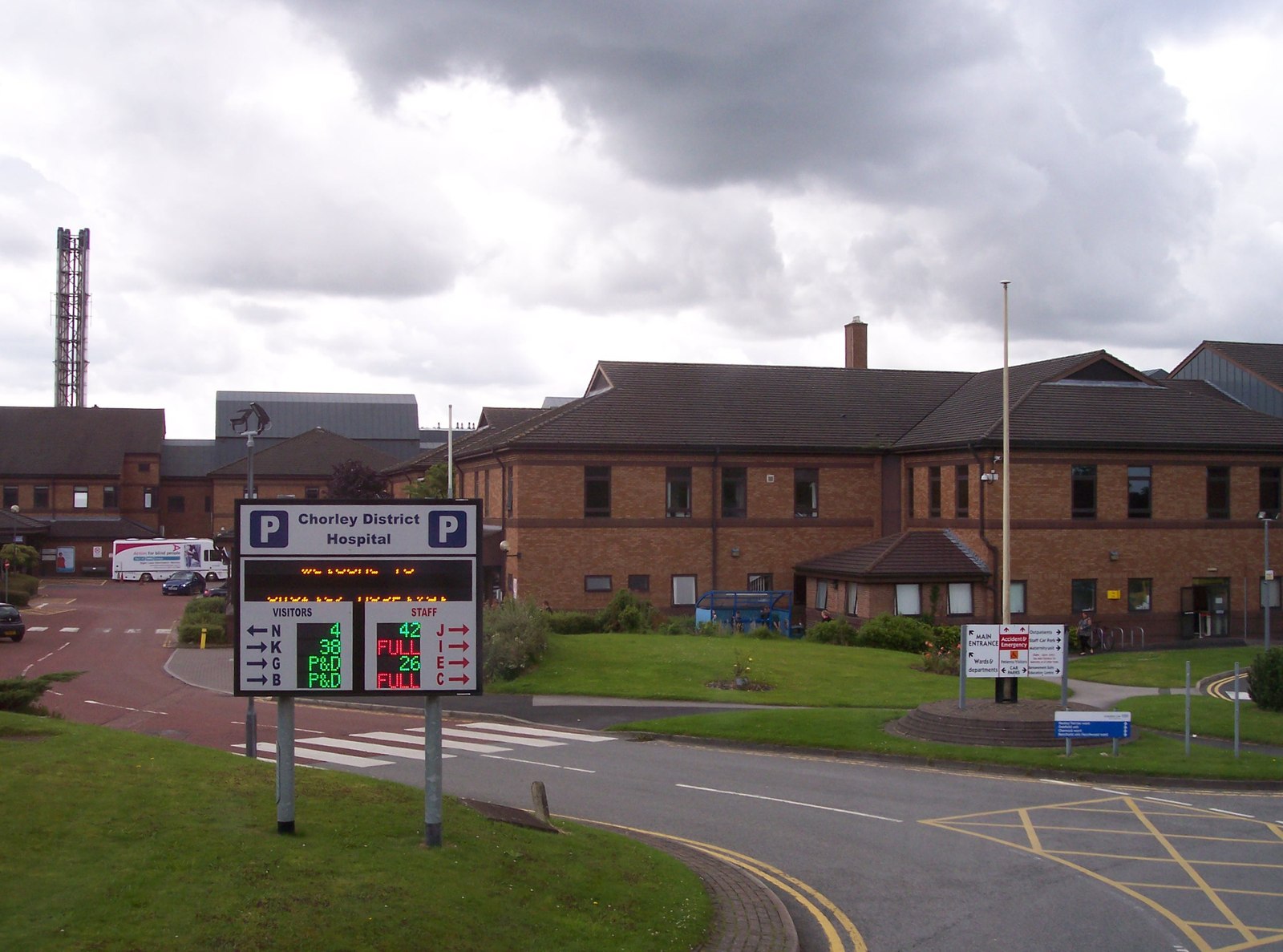
Chorley and South Ribble Hospital
Chorley and South Ribble Hospital is an acute general hospital in Chorley. The hospital is situated on Euxton lane in Chorley close to junction 8 of the...
Lancashire College
Lancashire Adult Learning is an adult education college located in Lancashire, England . Courses offered by the college are aimed primarily at adult learners...
Chorley Rural District
Chorley Rural District was a rural district in the administrative county of Lancashire, England from 1894 to 1974. The district was created by the Local...
Nearby Amenities
Located within 500m of 53.662378,-2.6452223Have you been to Astley Village?
Leave your review of Astley Village below (or comments, questions and feedback).