Aston

Settlement in Shropshire

England

Aston

A5 westbound, dropping towards the River Tern In the distance and slightly to the right of the road is Upton Magna.  The joint in the road surface in the foreground marks the end of the bridge at Bluebell.
A5 westbound, dropping towards the River Tern Credit: Christopher Hilton

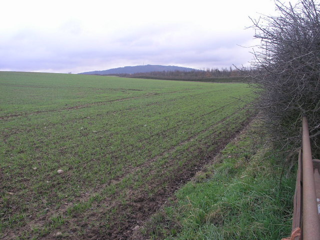
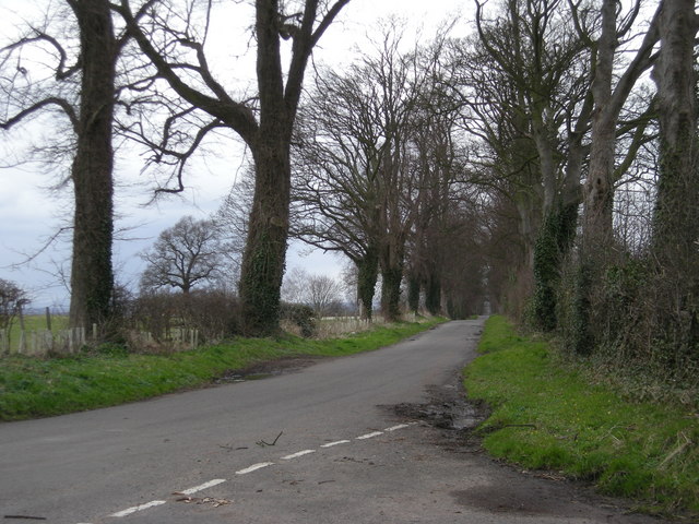
Aston is a small village located in Shropshire, England. It is situated approximately 3 miles southeast of the town of Shrewsbury and has a population of around 1,000 residents. The village is surrounded by picturesque countryside, with rolling hills and lush green fields.

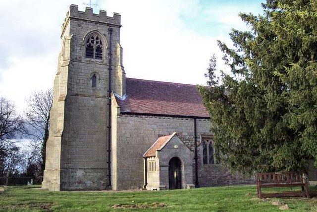
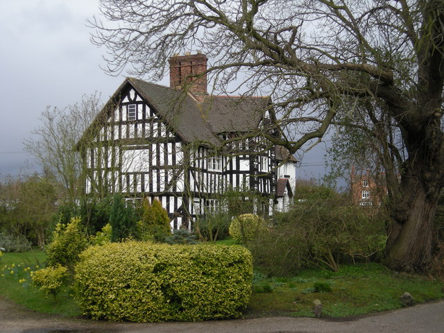
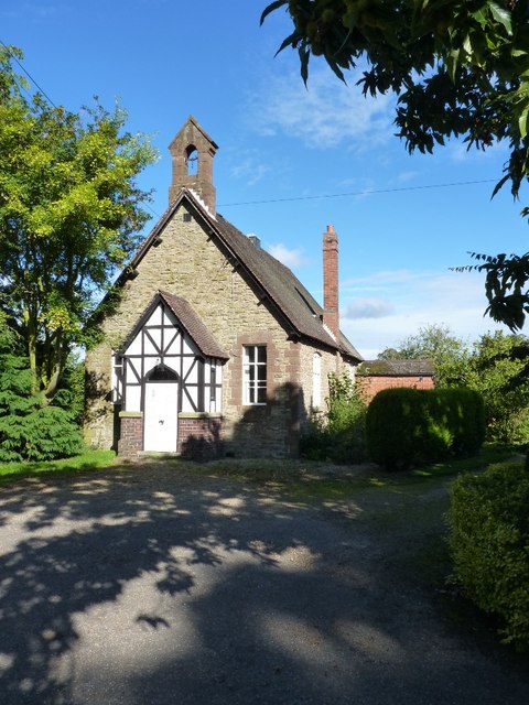
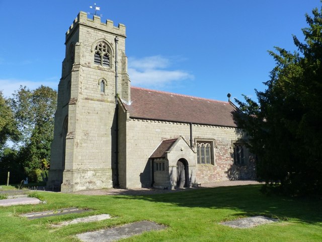
Aston has a rich history, with evidence of human settlement dating back to Roman times. The village is home to several historic buildings, including the 12th-century St. Andrew's Church and the Aston Hall, a Grade II listed building that dates back to the 17th century.

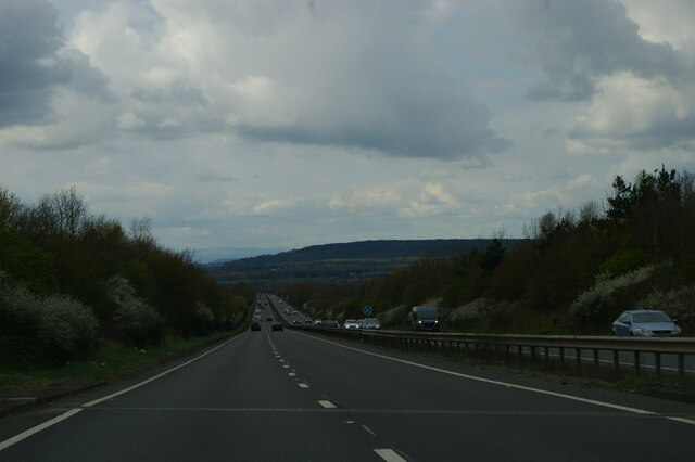
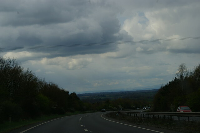
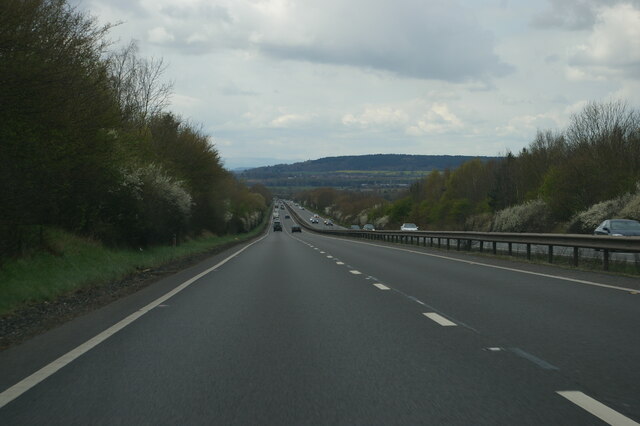
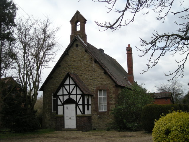
In terms of amenities, Aston has a village hall, a primary school, and a pub. The village is well-connected by road, with the A5 running nearby providing easy access to surrounding towns and cities. There are also several walking and cycling routes in the area, making it a popular destination for outdoor enthusiasts.

Overall, Aston is a charming and peaceful village that offers a mix of history, nature, and community spirit.

If you have any feedback on the listing, please let us know in the comments section below.
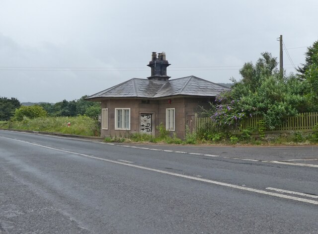
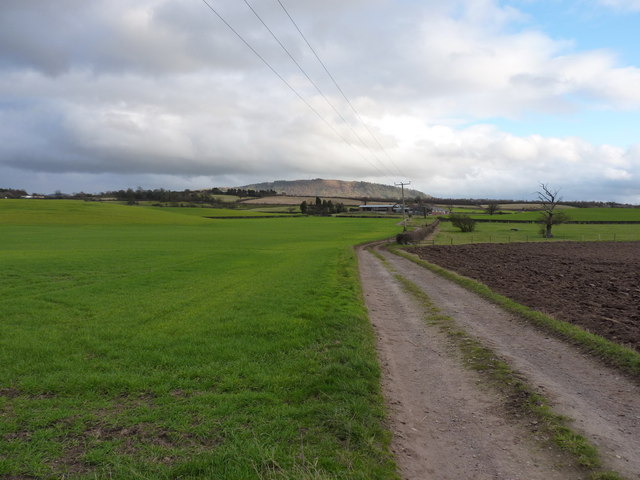
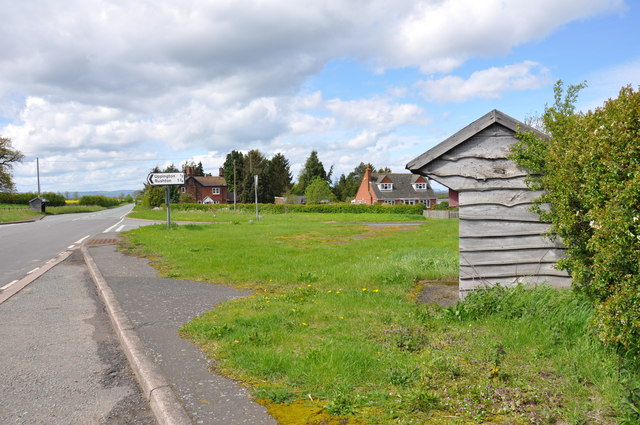
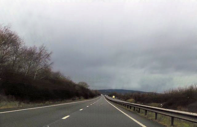
Aston Images

Images are sourced within 2km of 52.68349/-2.5748235 or Grid Reference SJ6109. Thanks to Geograph Open Source API. All images are credited.

A5 westbound, dropping towards the River Tern In the distance and slightly to the right of the road is Upton Magna.  The joint in the road surface in the foreground marks the end of the bridge at Bluebell.
A5 westbound, dropping towards the River Tern
In the distance and slightly to the right of the road is Upton Magna. The joint in the road surface in the foreground marks the end of the bridge at Bluebell.
A5 westbound, dropping from Overley Hill The A5 is a major trunk road that runs 260 miles from London to Holyhead. It follows the course of an old Roman Road (Watling Street).
Wikipedia: <span class="nowrap"><a title="http://en.wikipedia.org/wiki/A5_road_(Great_Britain)" rel="nofollow ugc noopener" href="http://en.wikipedia.org/wiki/A5_road_(Great_Britain)">Link</a><img style="margin-left:2px;" alt="External link" title="External link - shift click to open in new window" src="https://s1.geograph.org.uk/img/external.png" width="10" height="10"/></span>
A5 westbound, dropping from Overley Hill
The A5 is a major trunk road that runs 260 miles from London to Holyhead. It follows the course of an old Roman Road (Watling Street). Wikipedia: LinkExternal link
A5 westbound, dropping towards the River Tern In the distance and slightly to the right of the road is Upton Magna.
A5 westbound, dropping towards the River Tern
In the distance and slightly to the right of the road is Upton Magna.
Leaton Quarry From the operator, Breedon's, website:

"Breedon's Leaton Quarry is located close to the Shropshire town of Telford. The quarry first opened in the late 1940’s as a family run business providing hard rock aggregates to the local marketplace. As the quarry developed the materials range changed with the addition of an asphalt plant in the late 1950’s.

Due to the success of asphalt and the development of Telford this early asphalt plant was replaced with a new plant in 1981 and then a second plant in 1991 to keep up with local demand. In 2005, a concrete plant was installed allowing Leaton Quarry to provide a full range of materials for road construction and housing development. 

The site employs around 40 people, as well as supporting many more jobs indirectly through haulage and specialist support services provided to the quarry."
Leaton Quarry
From the operator, Breedon's, website: "Breedon's Leaton Quarry is located close to the Shropshire town of Telford. The quarry first opened in the late 1940’s as a family run business providing hard rock aggregates to the local marketplace. As the quarry developed the materials range changed with the addition of an asphalt plant in the late 1950’s. Due to the success of asphalt and the development of Telford this early asphalt plant was replaced with a new plant in 1981 and then a second plant in 1991 to keep up with local demand. In 2005, a concrete plant was installed allowing Leaton Quarry to provide a full range of materials for road construction and housing development. The site employs around 40 people, as well as supporting many more jobs indirectly through haulage and specialist support services provided to the quarry."
A5 overbridge, near Uppington
'Burcotgate', former toll house
Down a farm track towards Charlton House Looking in the direction of The Wrekin, past the farm at Charlton House.
Down a farm track towards Charlton House
Looking in the direction of The Wrekin, past the farm at Charlton House.
The small Hamlet of Bluebell on the Uppington Junction There are nearly as many bus shelters as there are houses.
The small Hamlet of Bluebell on the Uppington Junction
There are nearly as many bus shelters as there are houses.
OS bench mark on Uppington Church Ordnance Survey bench mark with bolt on the east corner of the south porch of Uppington Church. This bench mark was established during the First primary levelling of England & Wales (1840-1860), and was levelled with a height of 349.7740 feet [106.6111 metres] above mean sea level (Liverpool datum). It was included as a side level on the Llandysilio to Stafford levelling line. The surveyor's description was "No. 49(a). Uppington Church. Bolt in porch, at South entrance ; 1.64 ft. above surface." (p587)
OS bench mark on Uppington Church
Ordnance Survey bench mark with bolt on the east corner of the south porch of Uppington Church. This bench mark was established during the First primary levelling of England & Wales (1840-1860), and was levelled with a height of 349.7740 feet [106.6111 metres] above mean sea level (Liverpool datum). It was included as a side level on the Llandysilio to Stafford levelling line. The surveyor's description was "No. 49(a). Uppington Church. Bolt in porch, at South entrance ; 1.64 ft. above surface." (p587)
Long straight near Bluebell Road
Holy Trinity, Uppington
A Field and a Wrekin The Wrekin is the bump in the distance.  The tall trees in the near distance flank the A5 road.
A Field and a Wrekin
The Wrekin is the bump in the distance. The tall trees in the near distance flank the A5 road.
House near the church
Converted school or chapel
Lane to Watling Street
Uppington Village Hall This shows every sign of being converted from the former village school.
Uppington Village Hall
This shows every sign of being converted from the former village school.
Roman altar stone at Uppington The remains of a Roman altar stone, found inside the church when restoration work was being done in 1885, and presumably originally associated with the nearby city of Uriconium in <a href="https://www.geograph.org.uk/gridref/SJ5608">SJ5608</a>. It's now on display outside Holy Trinity church, and was Grade II listed <span class="nowrap"><a title="https://historicengland.org.uk/listing/the-list/list-entry/1239503" rel="nofollow ugc noopener" href="https://historicengland.org.uk/listing/the-list/list-entry/1239503">Link</a><img style="margin-left:2px;" alt="External link" title="External link - shift click to open in new window" src="https://s1.geograph.org.uk/img/external.png" width="10" height="10"/></span> & <span class="nowrap"><a title="https://britishlistedbuildings.co.uk/101239503-roman-altar-approximately-5-metres-to-south-east-of-nave-of-church-of-the-holy-trinity-wroxeter-and-uppington" rel="nofollow ugc noopener" href="https://britishlistedbuildings.co.uk/101239503-roman-altar-approximately-5-metres-to-south-east-of-nave-of-church-of-the-holy-trinity-wroxeter-and-uppington">Link</a><img style="margin-left:2px;" alt="External link" title="External link - shift click to open in new window" src="https://s1.geograph.org.uk/img/external.png" width="10" height="10"/></span> in 1985.
Roman altar stone at Uppington
The remains of a Roman altar stone, found inside the church when restoration work was being done in 1885, and presumably originally associated with the nearby city of Uriconium in SJ5608. It's now on display outside Holy Trinity church, and was Grade II listed LinkExternal link & LinkExternal link in 1985.
Holy Trinity church, Uppington A Grade II listed building, originally dating from the late 11th or early 12th century. <span class="nowrap"><a title="http://www.britishlistedbuildings.co.uk/en-417398-church-of-the-holy-trinity-wroxeter-and-" rel="nofollow ugc noopener" href="http://www.britishlistedbuildings.co.uk/en-417398-church-of-the-holy-trinity-wroxeter-and-">Link</a><img style="margin-left:2px;" alt="External link" title="External link - shift click to open in new window" src="https://s1.geograph.org.uk/img/external.png" width="10" height="10"/></span>
Holy Trinity church, Uppington
A Grade II listed building, originally dating from the late 11th or early 12th century. LinkExternal link
Show me another place!

Aston is located at Grid Ref: SJ6109 (Lat: 52.68349, Lng: -2.5748235)

Unitary Authority: Telford and Wrekin

Police Authority: West Merica

What 3 Words

///allowable.dozed.wiggling. Near Withington, Shropshire

Nearby Locations

Aston Coppice Aston

Related Wikis

Aston, Telford and Wrekin

Aston is a hamlet in Wrockwardine civil parish, Shropshire, England. == External links == Media related to Aston at Wikimedia Commons

Uppington

Uppington is a village and former civil parish, now in the parish of Wroxeter and Uppington, in the Shropshire district, in the ceremonial county of Shropshire...

Nash, Telford and Wrekin

Nash was a village in Shropshire, England which is believed to have been wiped out entirely by the Black Death of c.1349. It now no longer exists and is...

Charlton Castle

Charlton Castle was a fortified manor house situated in Shropshire between Shrewsbury and Telford (grid reference SJ597112). Sir John Charlton was licensed...

Nearby Amenities

Located within 500m of 52.68349,-2.5748235
The data included in this document is from www.openstreetmap.org. The data is made available under ODbL.

Have you been to Aston?

Leave your review of Aston below (or comments, questions and feedback).