Ashton
Settlement in Cornwall
England
Ashton
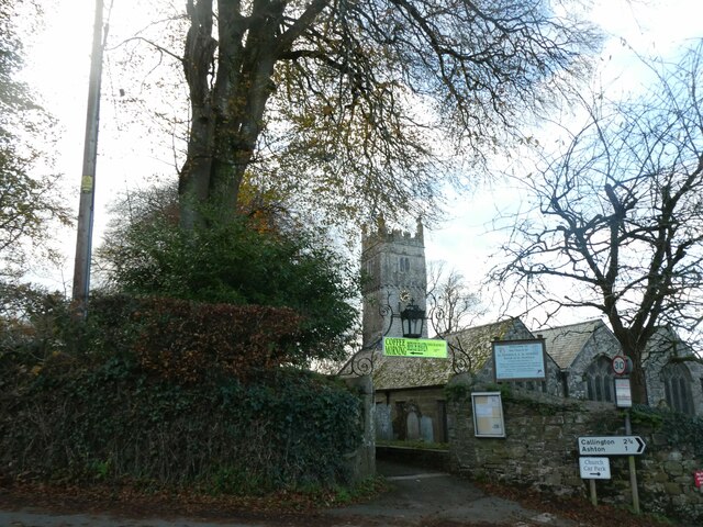
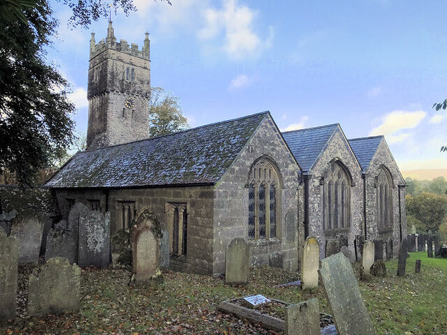
Ashton is a coastal village located in the county of Cornwall, England. Situated on the south coast, it lies approximately 8 miles west of the town of Falmouth and 15 miles south of the city of Truro. The village is part of the civil parish of Mawnan, and it sits within the Cornwall Area of Outstanding Natural Beauty.
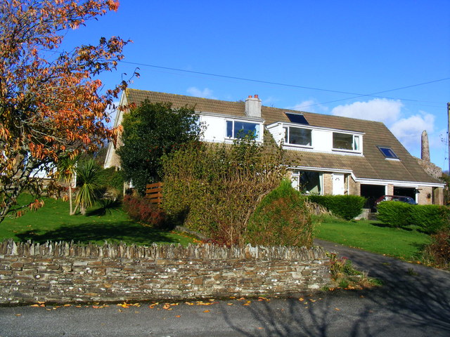
Ashton boasts a picturesque setting, nestled between rolling hills and the stunning coastline. The village is known for its beautiful sandy beaches, which attract both locals and tourists looking to relax, swim, or partake in water sports. The clear turquoise waters and golden sands make Ashton a popular destination for beach lovers.
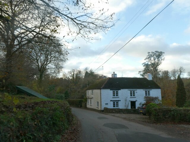
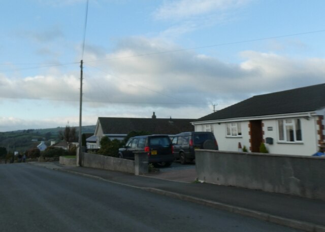
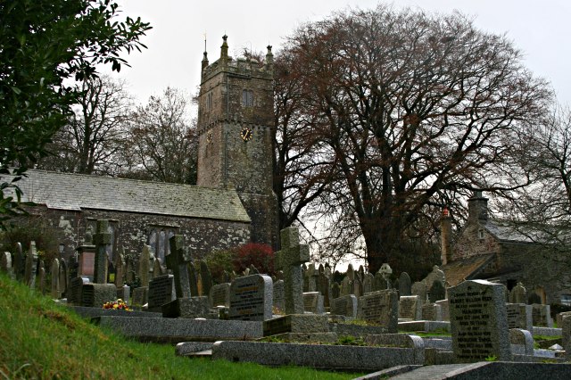
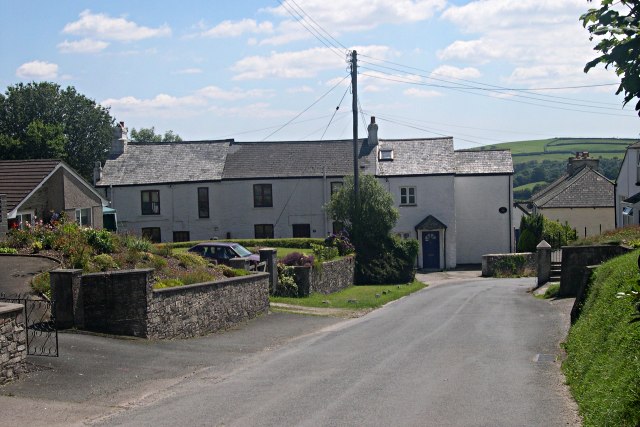
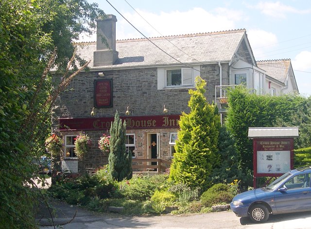
The village itself is small but charming, with a tight-knit community that adds to its appeal. Ashton is home to a handful of traditional thatched cottages, giving it a quaint and rustic atmosphere. There is also a local pub and a small convenience store, providing residents and visitors with basic amenities.
Nature lovers will be delighted by the wildlife and natural beauty surrounding Ashton. The area offers fantastic opportunities for hiking, exploring coastal trails, and birdwatching. Notably, the nearby Helford River is a renowned sailing destination, attracting boating enthusiasts from far and wide.
Overall, Ashton, Cornwall, offers a tranquil and idyllic escape from the hustle and bustle of city life. With its stunning beaches, picturesque village, and natural beauty, it is a hidden gem worth exploring for those seeking a peaceful coastal retreat.
If you have any feedback on the listing, please let us know in the comments section below.
Ashton Images
Images are sourced within 2km of 50.492895/-4.2793138 or Grid Reference SX3868. Thanks to Geograph Open Source API. All images are credited.


Ashton is located at Grid Ref: SX3868 (Lat: 50.492895, Lng: -4.2793138)
Unitary Authority: Cornwall
Police Authority: Devon and Cornwall
What 3 Words
///elders.prove.shocked. Near Callington, Cornwall
Nearby Locations
Related Wikis
St Dominic, Cornwall
St Dominic (Cornish: Sen Domynek) is a civil parish and village in Cornwall, England, United Kingdom. The village is situated 2+1⁄2 miles (4.0 km) east...
Harrowbarrow
Harrowbarrow (Cornish: Kelliskovarnek) is a village in the parish of Calstock in east Cornwall, England. == All Saints, Harrowbarrow == In 1870 a parishioner...
Rising Sun, Cornwall
Rising Sun is a hamlet near Calstock in Cornwall, England. == References == == External links == The Rising Sun Inn, Gunnislake
Metherell, Cornwall
Metherell is a village in east Cornwall, England, United Kingdom. It is situated three miles (5 km) east of Callington and two miles west of Calstock village...
Nearby Amenities
Located within 500m of 50.492895,-4.2793138Have you been to Ashton?
Leave your review of Ashton below (or comments, questions and feedback).