Ashengrove
Settlement in Hampshire
England
Ashengrove

Ashengrove is a charming village located in Hampshire, England. Situated in the picturesque Test Valley, it is surrounded by rolling green hills and breathtaking natural beauty. The village is known for its idyllic countryside setting and peaceful atmosphere, making it a popular destination for those seeking a tranquil retreat.
With a population of around 500 residents, Ashengrove maintains a tight-knit community feel. It is a close-knit village where neighbors are friendly and welcoming, creating a warm and inviting atmosphere. The village is known for its strong sense of community spirit, evident through the various local events and activities organized throughout the year.
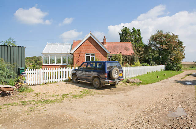
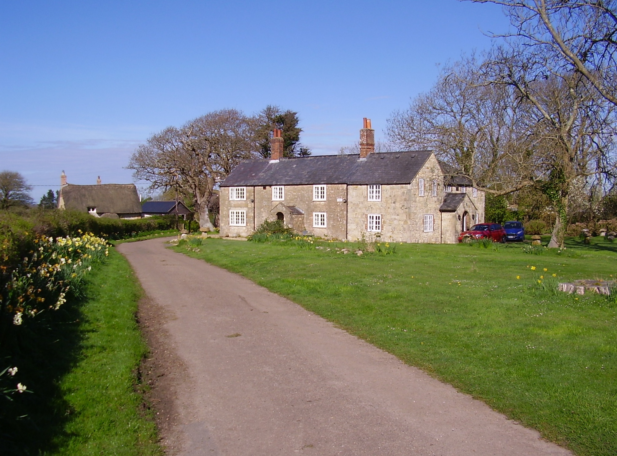
One of the prominent features of Ashengrove is its beautiful parish church, dating back to the 12th century. The church serves as a historical landmark and a symbol of the village's rich heritage. Additionally, there are several charming cottages and traditional houses that add to the village's quaint appeal.
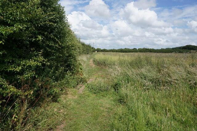
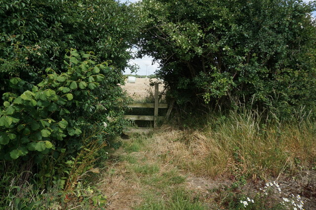
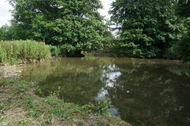
Nature enthusiasts will find themselves in paradise in Ashengrove, as the village is surrounded by stunning natural landscapes. The nearby Ashengrove Forest offers picturesque walking trails and tranquil spots for picnics, allowing residents and visitors to connect with nature.
Despite its peaceful ambiance, Ashengrove is conveniently located near larger towns and cities. The bustling town of Winchester is just a short drive away, offering a wide range of shopping, dining, and entertainment options.
Overall, Ashengrove is a hidden gem in Hampshire, offering a serene countryside lifestyle, a strong sense of community, and easy access to urban amenities.
If you have any feedback on the listing, please let us know in the comments section below.
Ashengrove Images
Images are sourced within 2km of 50.685722/-1.373514 or Grid Reference SZ4487. Thanks to Geograph Open Source API. All images are credited.


Ashengrove is located at Grid Ref: SZ4487 (Lat: 50.685722, Lng: -1.373514)
Unitary Authority: Isle of Wight
Police Authority: Hampshire
What 3 Words
///brambles.unites.lonely. Near Shalfleet, Isle of Wight
Nearby Locations
Related Wikis

Swainston Manor
Swainston Manor is an English country house, lying 1 mile (1.6 km) to the east of Calbourne, Isle of Wight, England. It is now a hotel. == History == Swainston...

Northpark Copse
Northpark Copse is a 9.9-hectare (24-acre) Site of special scientific interest which is east of Shalfleet. The site was notified in 1986 for its biological...
Watchingwell Halt railway station
Watchingwell Halt, was an intermediate station on the Freshwater, Yarmouth and Newport Railway, situated near the hamlet of Upper Watchingwell, that started...
Rowridge
Rowridge is a hamlet on the Isle of Wight towards the west in an area known as West Wight. It is the location of the Rowridge transmitting station, a 149...
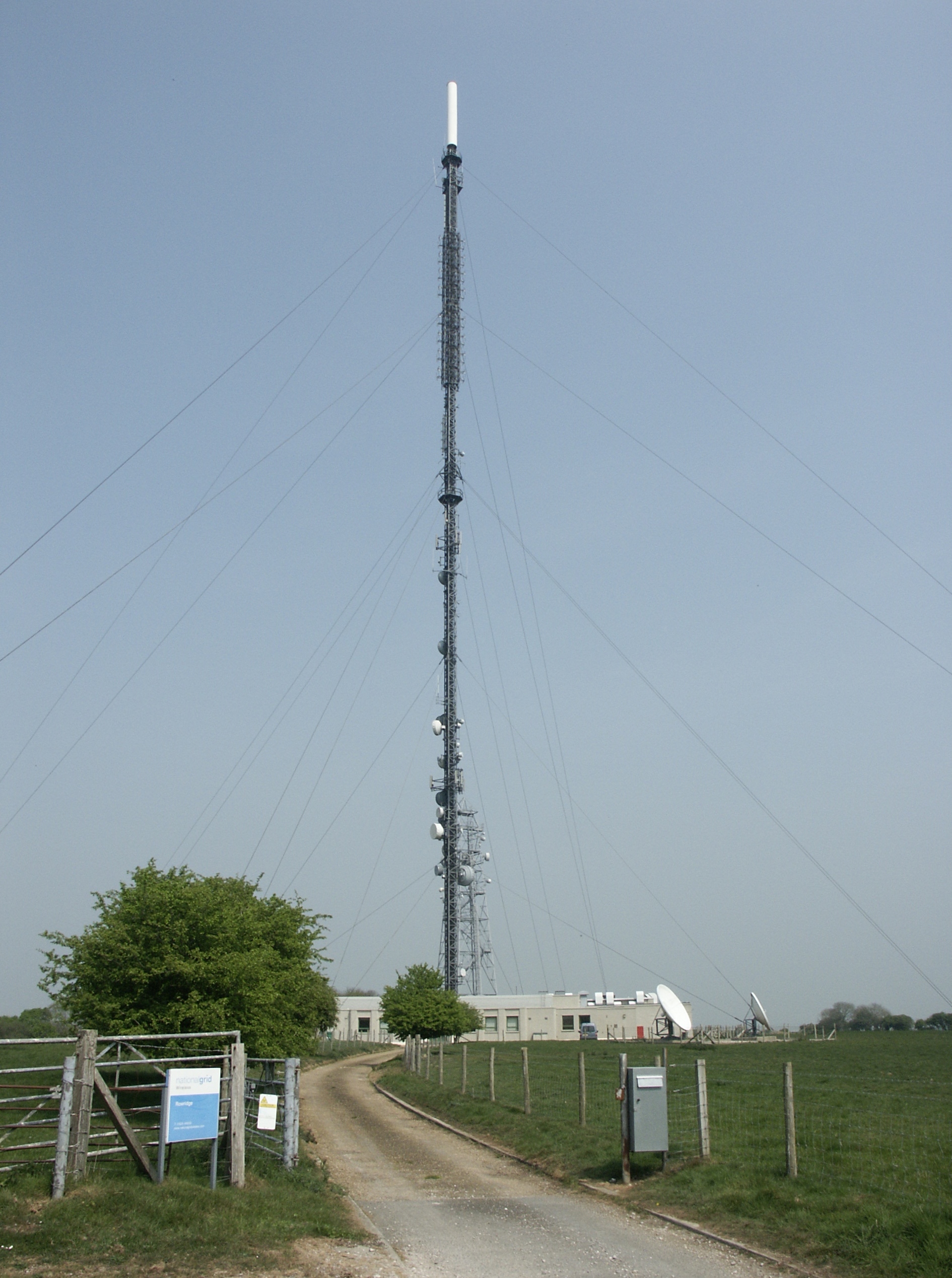
Rowridge transmitting station
The Rowridge transmitting station is a facility for FM radio and television transmission at Rowridge on the Isle of Wight in southern England. It currently...

Apesdown
Apesdown is a hamlet on the Isle of Wight towards the west in an area known as West Wight. It is situated on the B3401 road between Carisbrooke and Calbourne...
Rowridge Valley
Rowridge Valley is a 39.8-hectare (98-acre) Site of Special Scientific Interest (SSSI) that is 2 km (1.2 mi) east of the village of Calbourne and just...
Five Houses, Isle of Wight
Five Houses is a hamlet on the Isle of Wight, off the south coast of England. The settlement is in the civil parish of Calbourne, Newtown and Porchfield...
Nearby Amenities
Located within 500m of 50.685722,-1.373514Have you been to Ashengrove?
Leave your review of Ashengrove below (or comments, questions and feedback).