Apes Down
Downs, Moorland in Hampshire
England
Apes Down
Apes Down, located in Hampshire, England, is a beautiful and diverse natural area known for its downs, moorland, and stunning landscapes. Spanning approximately 200 acres, Apes Down is a popular destination for nature enthusiasts, hikers, and wildlife photographers.
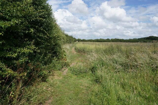
The downs in Apes Down are characterized by their rolling hills and expansive grasslands, offering visitors breathtaking panoramic views of the surrounding countryside. These downs are home to a variety of plant species, including wildflowers, grasses, and shrubs, creating a vibrant and colorful landscape during the spring and summer months.
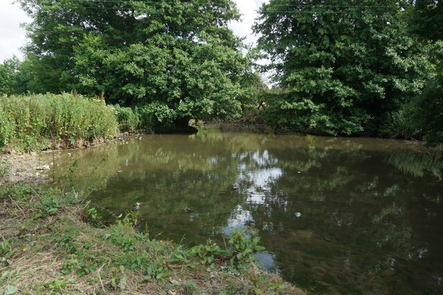
Adjacent to the downs, Apes Down also features moorland, which adds to the area's natural charm and ecological diversity. Moorland is characterized by its wet and boggy terrain, dotted with heather, gorse, and other low-lying vegetation. This unique habitat provides a safe haven for various bird species, such as curlews, lapwings, and golden plovers.
Apes Down is also known for its rich cultural history, with evidence of ancient settlements and burial mounds scattered throughout the area. These archaeological sites serve as a reminder of the long-standing human presence in this region.
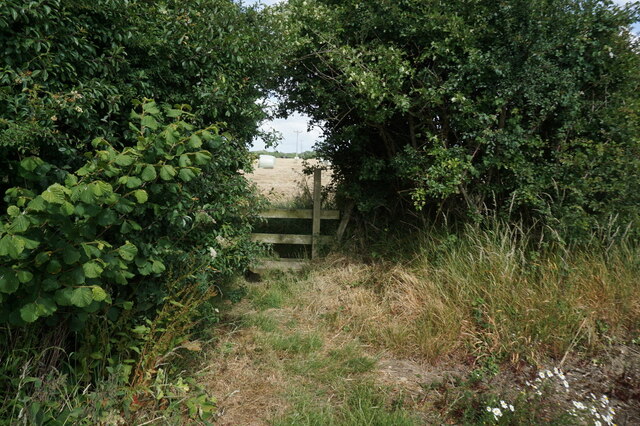
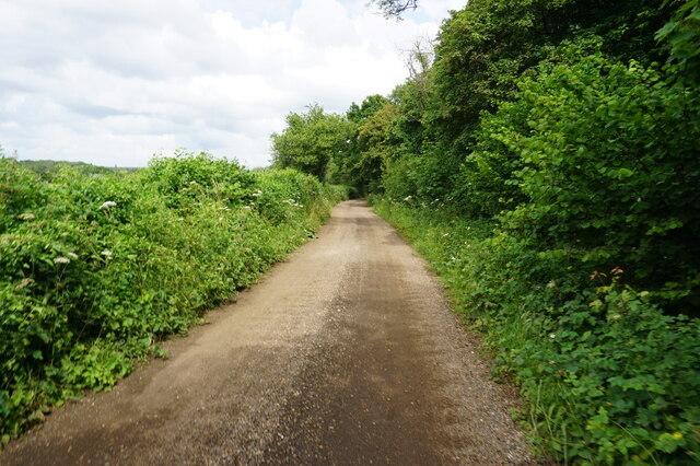
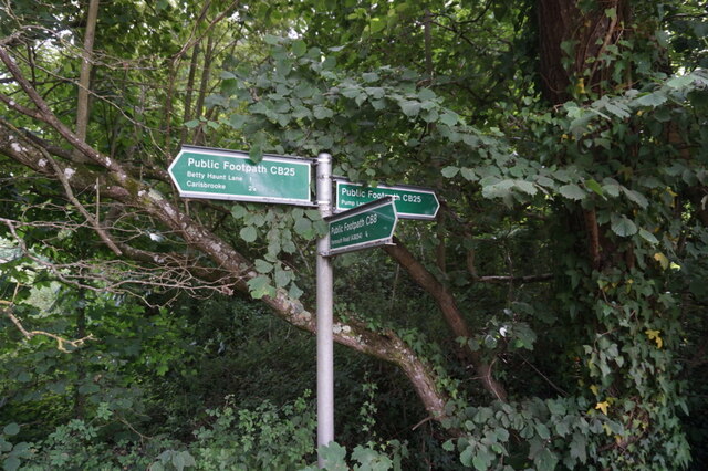
Visitors to Apes Down can explore the area through a network of well-maintained footpaths and trails, allowing them to fully experience the beauty and tranquility of this natural gem. The area is also home to a variety of wildlife, including deer, rabbits, and a diverse range of bird species, making it a popular spot for wildlife enthusiasts.
Overall, Apes Down in Hampshire is a picturesque and ecologically diverse landscape, offering visitors a chance to immerse themselves in nature and experience the rich heritage of the area.
If you have any feedback on the listing, please let us know in the comments section below.
Apes Down Images
Images are sourced within 2km of 50.683239/-1.3649268 or Grid Reference SZ4487. Thanks to Geograph Open Source API. All images are credited.


Apes Down is located at Grid Ref: SZ4487 (Lat: 50.683239, Lng: -1.3649268)
Unitary Authority: Isle of Wight
Police Authority: Hampshire
What 3 Words
///outsmart.elastic.tabloid. Near Shalfleet, Isle of Wight
Nearby Locations
Related Wikis

Apesdown
Apesdown is a hamlet on the Isle of Wight towards the west in an area known as West Wight. It is situated on the B3401 road between Carisbrooke and Calbourne...

Rowridge
Rowridge is a hamlet on the Isle of Wight towards the west in an area known as West Wight. It is the location of the Rowridge transmitting station, a 149...
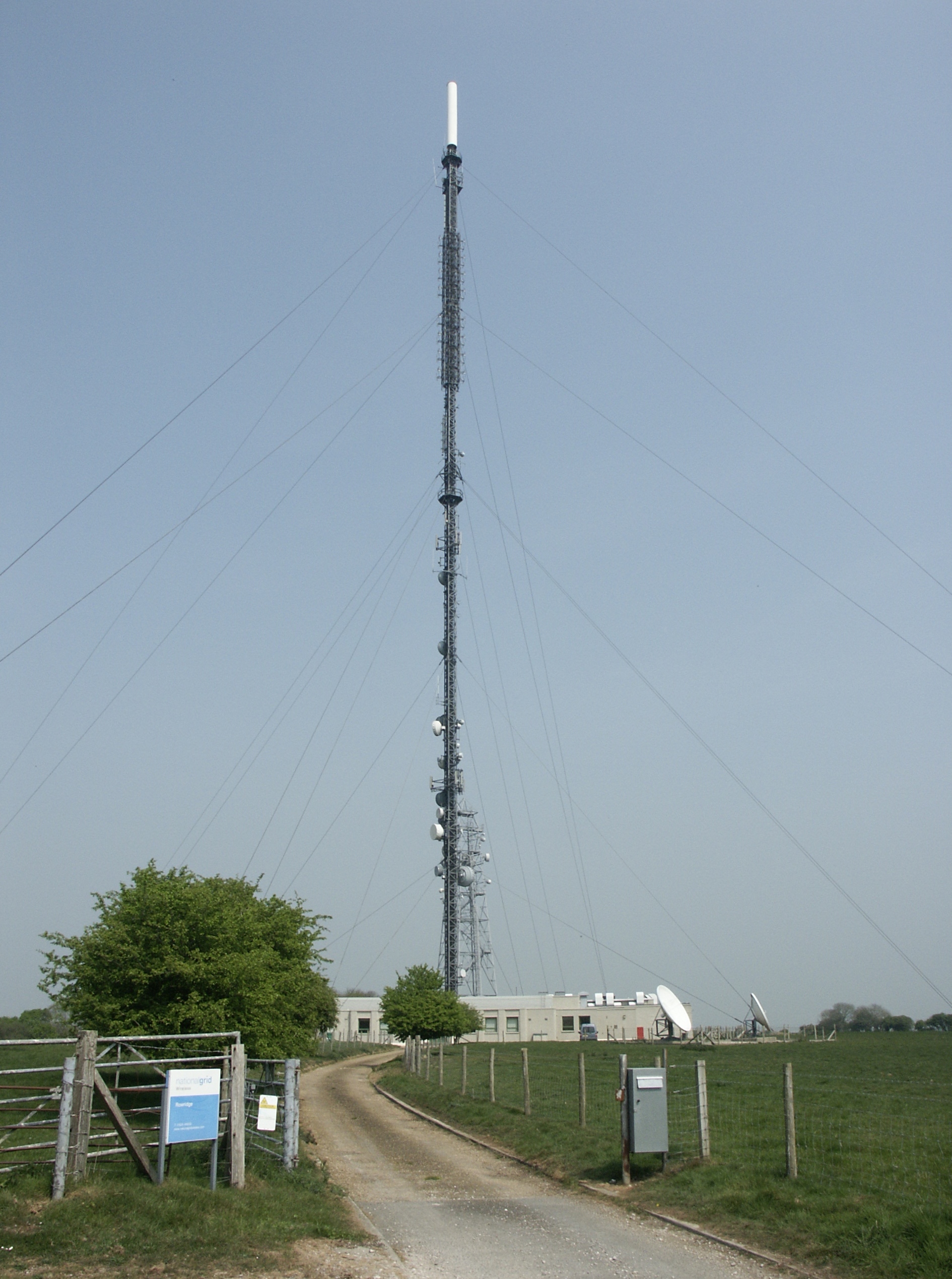
Rowridge transmitting station
The Rowridge transmitting station is a facility for FM radio and television transmission at Rowridge on the Isle of Wight in southern England. It currently...
Rowridge Valley
Rowridge Valley is a 39.8-hectare (98-acre) Site of Special Scientific Interest (SSSI) that is 2 km (1.2 mi) east of the village of Calbourne and just...
Nearby Amenities
Located within 500m of 50.683239,-1.3649268Have you been to Apes Down?
Leave your review of Apes Down below (or comments, questions and feedback).