Ash Cross

Settlement in Somerset Somerset West and Taunton

England

Ash Cross

Trees along former Chard Canal From the lane north of Lillesdon Farm. The trees hide the section of disused canal shown in <a href="https://www.geograph.org.uk/photo/197968">ST3022 : Chard Canal near Lillesdon</a>.
Trees along former Chard Canal Credit: Derek Harper

Ash Cross is a small village located in the county of Somerset, England. Situated in the Mendip Hills, it is surrounded by picturesque countryside and offers a tranquil and scenic setting. The village is part of the Mendip district and falls under the jurisdiction of the Wells parliamentary constituency.

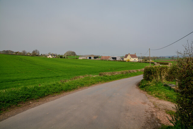
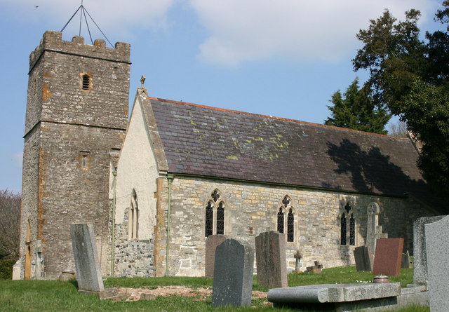
With a population of around 500 residents, Ash Cross is a close-knit community that values its rural charm and natural beauty. The village is characterized by its traditional stone-built houses and historic buildings, which add to its timeless appeal. There are also several farms in the area, highlighting the village's agricultural heritage.

Despite its small size, Ash Cross boasts a range of amenities to cater to the needs of its residents. These include a village hall, a local pub, and a post office, providing essential services and a focal point for social gatherings. The village hall hosts various community events and activities, fostering a strong sense of community spirit.

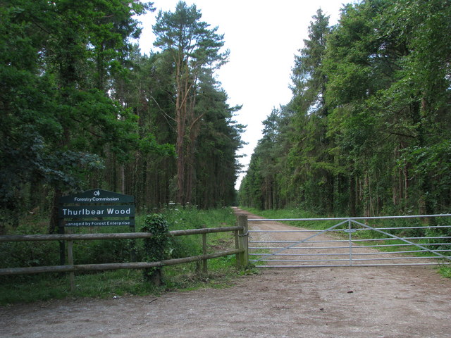
The surrounding countryside offers ample opportunities for outdoor enthusiasts, with numerous walking and cycling routes, as well as scenic views to enjoy. Additionally, Ash Cross is conveniently located near attractions such as Cheddar Gorge, Wookey Hole Caves, and the city of Wells, providing residents with easy access to cultural and leisure activities.

Overall, Ash Cross is a charming and idyllic village that offers a peaceful and rural lifestyle, complemented by its community spirit and beautiful surroundings.

If you have any feedback on the listing, please let us know in the comments section below.

Ash Cross Images

Images are sourced within 2km of 51.002208/-3.0242973 or Grid Reference ST2823. Thanks to Geograph Open Source API. All images are credited.

Trees along former Chard Canal From the lane north of Lillesdon Farm. The trees hide the section of disused canal shown in <a href="https://www.geograph.org.uk/photo/197968">ST3022 : Chard Canal near Lillesdon</a>.
Trees along former Chard Canal
From the lane north of Lillesdon Farm. The trees hide the section of disused canal shown in ST3022 : Chard Canal near Lillesdon.
Bridge carrying the Lillesdon road over the Chard Canal The parapets are almost completely covered in ivy. The unsuccessful Chard Canal opened in 1842 and closed in 1868.
Bridge carrying the Lillesdon road over the Chard Canal
The parapets are almost completely covered in ivy. The unsuccessful Chard Canal opened in 1842 and closed in 1868.
Entrance drive, Lillesdon Farm
Overgrown canal bed, on former Chard Canal
Grazing sheep, Hammonds Farm
Line of former Chard Canal
View from Lillesdon View towards the Tone valley. There used to be an orchard here.
View from Lillesdon
View towards the Tone valley. There used to be an orchard here.
Chard Canal near Lillesdon Looking SSE from Lillesdon lane along the Chard canal; water survives in a few sections. The pillbox beyond (see <a href="https://www.geograph.org.uk/photo/3416894">ST3022 : Pillbox beside Chard Canal</a>) is on the southwest slope of the canal embankment. Wrantage Covert in the distance.
Chard Canal near Lillesdon
Looking SSE from Lillesdon lane along the Chard canal; water survives in a few sections. The pillbox beyond (see ST3022 : Pillbox beside Chard Canal) is on the southwest slope of the canal embankment. Wrantage Covert in the distance.
Chard Canal near Lillesdon Looking WNW from Lillesdon Lane along the remains of the canal.
Chard Canal near Lillesdon
Looking WNW from Lillesdon Lane along the remains of the canal.
Road from North Curry meets the A378
Lillesdon Lane Crossing over the Chard Canal remnants.
Lillesdon Lane
Crossing over the Chard Canal remnants.
Oakhill Farm riding school
North Curry : Oakhill Looking towards a man standing at the gate at Oakhill.
North Curry : Oakhill
Looking towards a man standing at the gate at Oakhill.
North Curry : Grassy Field Looking across a grassy field.
North Curry : Grassy Field
Looking across a grassy field.
North Curry : Oakhill Looking towards Oakhill.
North Curry : Oakhill
Looking towards Oakhill.
North Curry : Lillesdon Lane Looking along Lillesdon Lane.
North Curry : Lillesdon Lane
Looking along Lillesdon Lane.
Fyrse Cottage, Stoke St Mary The thatched C16 Fyrse Cottage in the village street at Stoke St. Mary is well-documented at <span class="nowrap"><a title="http://webapp1.somerset.gov.uk/her/details.asp?prn=40838" rel="nofollow ugc noopener" href="http://webapp1.somerset.gov.uk/her/details.asp?prn=40838">Link</a><img style="margin-left:2px;" alt="External link" title="External link - shift click to open in new window" src="https://s1.geograph.org.uk/img/external.png" width="10" height="10"/></span> .
Fyrse Cottage, Stoke St Mary
The thatched C16 Fyrse Cottage in the village street at Stoke St. Mary is well-documented at LinkExternal link .
Show me another place!

Ash Cross is located at Grid Ref: ST2823 (Lat: 51.002208, Lng: -3.0242973)

Administrative County: Somerset

District: Somerset West and Taunton

Police Authority: Avon and Somerset

What 3 Words

///bronzed.commit.explorer. Near Creech St Michael, Somerset

Related Wikis

Nearby Amenities

Located within 500m of 51.002208,-3.0242973
Traffic Signals
Traffic Signals: signal
Traffic Signals Direction: forward
Lat/Long: 50.9999693/-3.0206763
Traffic Signals
Traffic Signals: signal
Traffic Signals Direction: forward
Lat/Long: 51.000121/-3.0203979
Traffic Signals
Traffic Signals: signal
Traffic Signals Direction: forward
Lat/Long: 51.0001585/-3.0206043
Post Box
Operator: Royal Mail
Operator Wikidata: Q638098
Post Box Type: lamp
Ref: TA3 446
Royal Cypher: EIIR
Royal Cypher Wikidata: Q33102113
Lat/Long: 51.0020475/-3.0244725
Give Way
Direction: backward
Lat/Long: 51.0020752/-3.0243302
Give Way
Lat/Long: 51.0023177/-3.0242646
Give Way
Lat/Long: 51.0035238/-3.0271168
Give Way
Lat/Long: 51.0001867/-3.0203656
Power: pole
Lat/Long: 51.0052237/-3.0286586
Material: wood
Power: pole
Lat/Long: 51.004246/-3.0278109
Power: pole
Lat/Long: 51.0037911/-3.0276578
Power: pole
Lat/Long: 51.0029722/-3.0279583
Power: pole
Lat/Long: 51.0024494/-3.0281709
Power: pole
Lat/Long: 51.001866/-3.0283779
Power: pole
Lat/Long: 51.0017358/-3.0290527
Power: pole
Lat/Long: 51.0010703/-3.0295857
Power: pole
Lat/Long: 51.0001621/-3.029512
Power: pole
Lat/Long: 50.9992665/-3.0294326
Power: pole
Lat/Long: 51.001873/-3.0282856
Power: pole
Lat/Long: 51.000865/-3.027384
Power: pole
Lat/Long: 50.9999746/-3.0268397
Power: pole
Lat/Long: 50.9990522/-3.0262641
Power: pole
Lat/Long: 50.9991361/-3.0246849
Power: pole
Lat/Long: 50.9991985/-3.0235282
Power: pole
Lat/Long: 50.9992627/-3.0223403
Power: pole
Lat/Long: 50.9993466/-3.0208887
Power: pole
Lat/Long: 50.9994126/-3.0197433
Power: pole
Lat/Long: 51.0019413/-3.026791
Power: pole
Lat/Long: 51.0020024/-3.0252039
Power: pole
Lat/Long: 51.00403/-3.0264838
Power: pole
Lat/Long: 51.003832/-3.0252845
Power: pole
Lat/Long: 51.003927/-3.0281139
Ash Cross
Is In: Somerset, England, United Kingdom
Place: locality
Lat/Long: 51.0021822/-3.0242362
Communication Mobile Phone: yes
Man Made: mast
Tower Type: communication
Lat/Long: 50.9995974/-3.0199666
Traffic Signals
Traffic Signals: signal
Traffic Signals Direction: forward
Lat/Long: 50.9999952/-3.0205912
Bus Stop
Garage
Bus: yes
Naptan AtcoCode: 3600SOC30738
Naptan Bearing: NW
Naptan CommonName: Garage
Naptan Indicator: NW-bound
Naptan NaptanCode: sotamdwa
Naptan Street: Mattocks Tree Hill
Naptan Verified: no
Public Transport: platform
Lat/Long: 50.9994628/-3.0202469
Bus Stop
Nags Head
Bus: yes
Direction: 305
Naptan AtcoCode: 3600SOC30737
Naptan NaptanCode: sotamdpd
Network: The Buses of Somerset
Network Wikidata: Q17018973
Operator: First South West
Operator Wikidata: Q5454172
Public Transport: platform
Ref: 54
Lat/Long: 51.0022634/-3.024751
Bus Stop
Nags Head
Bus: yes
Direction: 130
Naptan AtcoCode: 3600SOC30736
Naptan Bearing: SE
Naptan CommonName: Nags Head
Naptan Indicator: SE-bound
Naptan NaptanCode: sotamdtd
Naptan Verified: no
Network: The Buses of Somerset
Network Wikidata: Q17018973
Operator: First South West
Operator Wikidata: Q5454172
Public Transport: platform
Ref: 54
Lat/Long: 51.0021799/-3.0238485
Bus Stop
Thornfalcon Garage
Bus: yes
Direction: 75
Naptan AtcoCode: 3600SOC30878
Naptan Bearing: E
Naptan CommonName: Garage
Naptan Indicator: E-bound
Naptan NaptanCode: sotamgad
Naptan Street: A378 Stonehead Hill
Naptan Verified: no
Network: The Buses of Somerset
Network Wikidata: Q17018973
Operator: First South West
Operator Wikidata: Q5454172
Public Transport: platform
Ref: 54
Lat/Long: 51.0004624/-3.018473
Bus Stop
Thornfalcon Garage
Bus: yes
Direction: 255
Naptan AtcoCode: 3600SOC30877
Naptan Bearing: W
Naptan CommonName: Garage
Naptan Indicator: W-bound
Naptan NaptanCode: sotamdwt
Naptan Street: A378 Stonehead Hill
Naptan Verified: no
Network: The Buses of Somerset
Network Wikidata: Q17018973
Operator: First South West
Operator Wikidata: Q5454172
Public Transport: platform
Ref: 54
Lat/Long: 51.0004167/-3.0183544
The data included in this document is from www.openstreetmap.org. The data is made available under ODbL.

Have you been to Ash Cross?

Leave your review of Ash Cross below (or comments, questions and feedback).