Ash Cross

Settlement in Devon Torridge

England

Ash Cross

Cott Lane, Petrockstow Looking east towards the main road.  Mist filled the valley that morning, hence no background!
Cott Lane, Petrockstow Credit: Andrew Longton

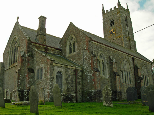
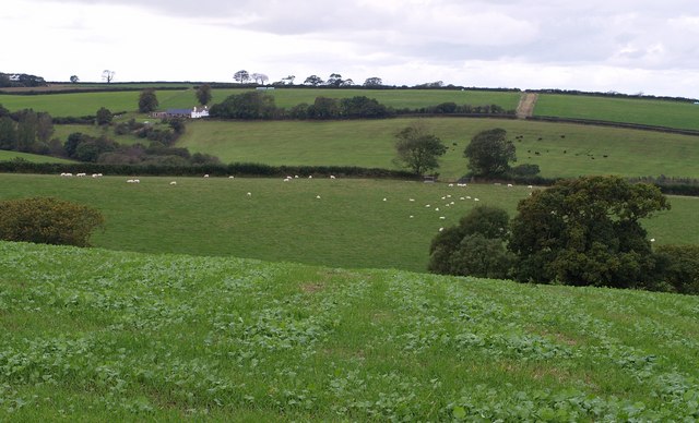
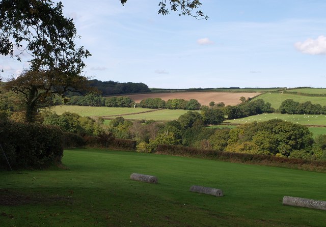
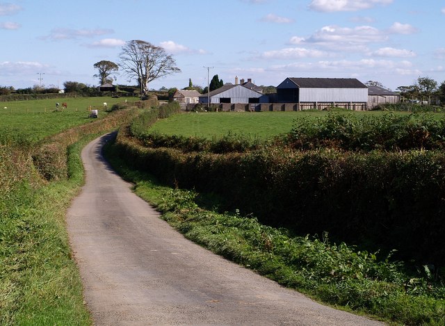
Ash Cross is a small village located in the county of Devon, in the southwestern part of England. Situated within the district of Mid Devon, it lies about 6 miles north of the town of Tiverton. The village is nestled amidst picturesque countryside, surrounded by rolling hills and fields, providing a tranquil and scenic setting.

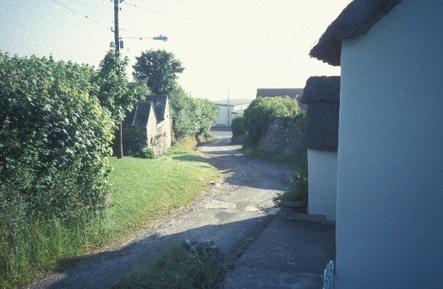
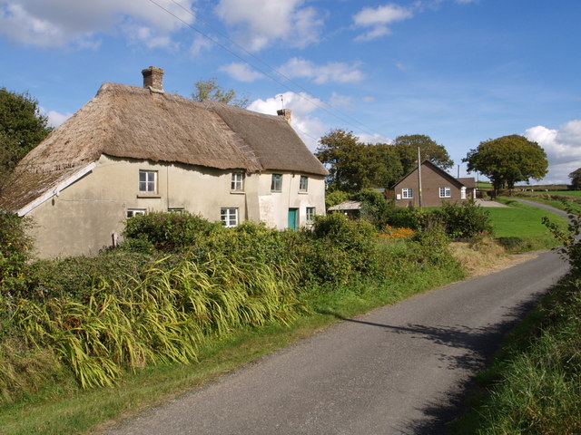
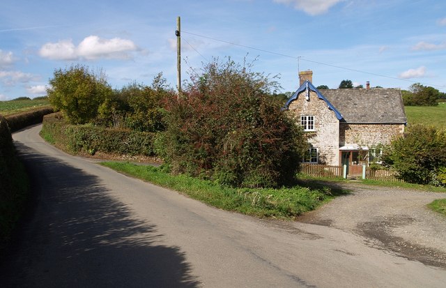
With a population of around 300 residents, Ash Cross has a close-knit community that contributes to its friendly and welcoming atmosphere. The village primarily consists of traditional stone-built houses, some of which date back several centuries, giving it a charming and historic feel.

Despite its small size, Ash Cross offers a few amenities for its residents. These include a village hall, which serves as a hub for various community activities and events, and a local pub where locals and visitors can gather for a drink or a meal.

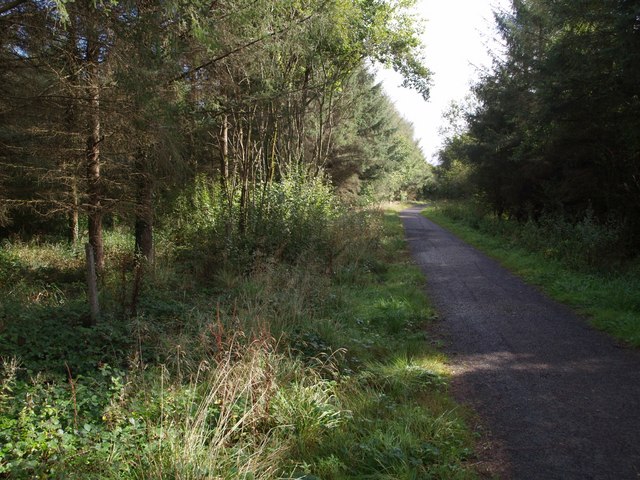
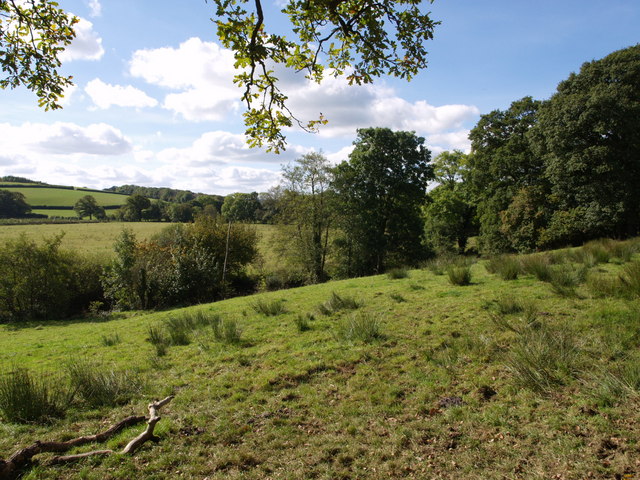
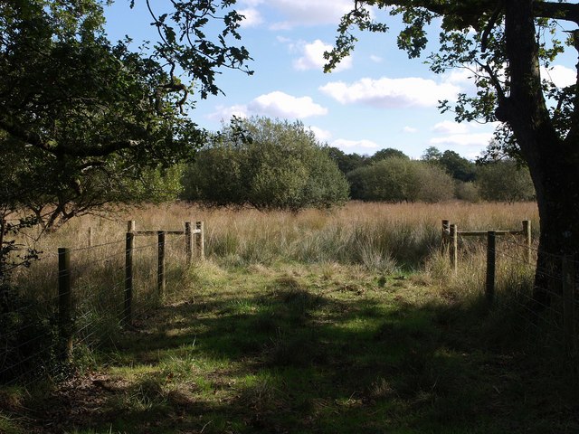
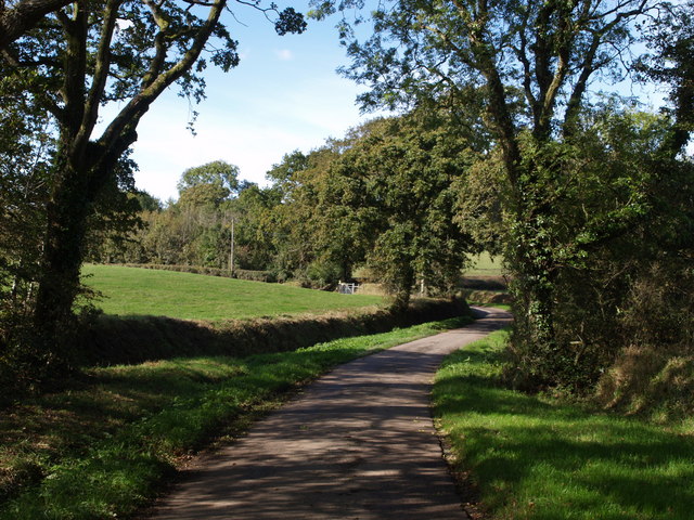
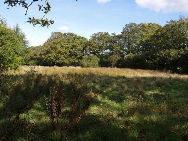
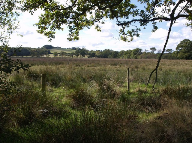
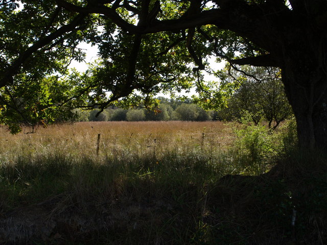
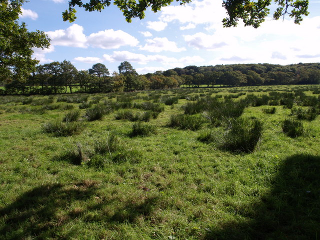
The surrounding area of Ash Cross is known for its natural beauty, making it a popular destination for outdoor enthusiasts. There are several walking and cycling trails that wind through the nearby countryside, allowing residents and visitors to explore the scenic landscapes and enjoy the fresh air.

Overall, Ash Cross is a peaceful and idyllic village, providing a tranquil retreat from the hustle and bustle of city life. Its beautiful surroundings, sense of community, and historic charm make it a desirable place to live or visit for those seeking a peaceful countryside experience in Devon.

If you have any feedback on the listing, please let us know in the comments section below.
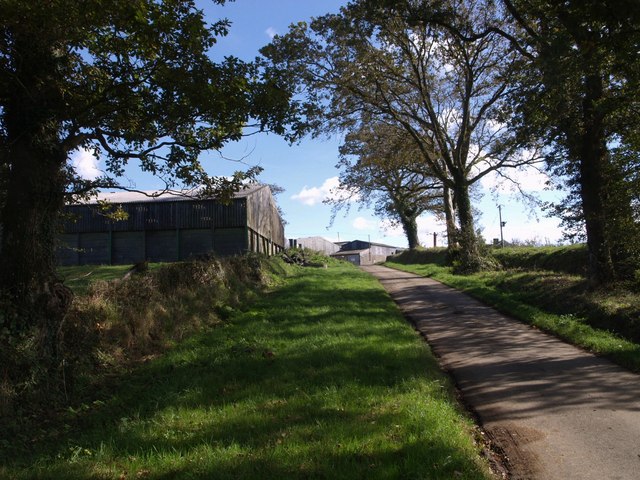
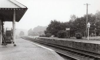
Ash Cross Images

Images are sourced within 2km of 50.85393/-4.1065412 or Grid Reference SS5108. Thanks to Geograph Open Source API. All images are credited.

Cott Lane, Petrockstow Looking east towards the main road.  Mist filled the valley that morning, hence no background!
Cott Lane, Petrockstow
Looking east towards the main road. Mist filled the valley that morning, hence no background!
Petrockstowe Church The church is dedicated to Saint Petroc.
Petrockstowe Church
The church is dedicated to Saint Petroc.
Tarka Trail in Foxes' Covert The trail follows the line of the North Devon and Cornwall Junction Light Railway through woodland as it approaches the Little Mere River.
Tarka Trail in Foxes' Covert
The trail follows the line of the North Devon and Cornwall Junction Light Railway through woodland as it approaches the Little Mere River.
Fields near Petrockstowe A view from the lane (part of NCN route 3) from Petrockstowe to Hembury Gate. The valleys drain to the right towards the Little Mere River. The farm, Deer Park, is in SS5010.
Fields near Petrockstowe
A view from the lane (part of NCN route 3) from Petrockstowe to Hembury Gate. The valleys drain to the right towards the Little Mere River. The farm, Deer Park, is in SS5010.
Field beside the Torridge The river is just at the foot of the slope. Beyond is the flood plain, about 250 metres wide at this point.
Field beside the Torridge
The river is just at the foot of the slope. Beyond is the flood plain, about 250 metres wide at this point.
Magpie Contrasting conditions of thatch, and contrasting ages of buildings. This little group is on the lane from Sheepwash to Patchel Cross.
Magpie
Contrasting conditions of thatch, and contrasting ages of buildings. This little group is on the lane from Sheepwash to Patchel Cross.
Across Patchill Plantation Looking across the top of the wood, and the valley on whose slopes it lies, from Petrockstow Footpath 3 near the farm at Patchill. The valley drains east (right) towards Petrockstowe Moor (the parish seems to have no final E, unlike the village and the moor). On the left is Hartleigh Wood, largely in SS5008.
Across Patchill Plantation
Looking across the top of the wood, and the valley on whose slopes it lies, from Petrockstow Footpath 3 near the farm at Patchill. The valley drains east (right) towards Petrockstowe Moor (the parish seems to have no final E, unlike the village and the moor). On the left is Hartleigh Wood, largely in SS5008.
Aish Lodge Other local placenames are spelt "Ash", but this little lodge, at a junction between the lane from Friar's Hele Cross to Petrockstowe and a farm track on the fringe of Ash Moor, is an exception.
Aish Lodge
Other local placenames are spelt "Ash", but this little lodge, at a junction between the lane from Friar's Hele Cross to Petrockstowe and a farm track on the fringe of Ash Moor, is an exception.
Ash Moor Looking into a field with an extraordinarily irregular boundary, a rarity in this flat land where most boundaries are straight. The field is adjacent to the locally notorious unused Ash Moor burial site, where almost a million carcasses from the 2001 FMD outbreak were intended to be buried. The area is now the latest addition to Devon Wildlife Trust's nature reserves.
Ash Moor
Looking into a field with an extraordinarily irregular boundary, a rarity in this flat land where most boundaries are straight. The field is adjacent to the locally notorious unused Ash Moor burial site, where almost a million carcasses from the 2001 FMD outbreak were intended to be buried. The area is now the latest addition to Devon Wildlife Trust's nature reserves.
Westacott The farm, seen from along the lane from Filleighmoor Gate to Patchel Cross.
Westacott
The farm, seen from along the lane from Filleighmoor Gate to Patchel Cross.
Lane at Bradley The quiet and attractive lane from Patchel Cross to Filleighmoor Gate passes trees just west of Bradley, at the eastern edge of this square.
Lane at Bradley
The quiet and attractive lane from Patchel Cross to Filleighmoor Gate passes trees just west of Bradley, at the eastern edge of this square.
This little piggy Spotted through the undergrowth near Rockhay Bridge, and seemed quite anxious to make friends; the rest kept their distance.
This little piggy
Spotted through the undergrowth near Rockhay Bridge, and seemed quite anxious to make friends; the rest kept their distance.
Meadow beside Woolladen Clay Tip Just an L-shaped fragment of this meadow is left, the rest having been covered by the clay tip (Woolladen, Wooladon, Wooladon all appear on maps as variant spellings). Meeth Footpath 2 follows it round the angle of the L, which is pictured here.
Meadow beside Woolladen Clay Tip
Just an L-shaped fragment of this meadow is left, the rest having been covered by the clay tip (Woolladen, Wooladon, Wooladon all appear on maps as variant spellings). Meeth Footpath 2 follows it round the angle of the L, which is pictured here.
Bee on Bitter Vetch Lathyrus montanus, with its striking magenta flowers and bluish calyx, growing in <a href="https://www.geograph.org.uk/photo/577156">SS5307 : Meadow beside Woolladen Clay Tip</a>, and getting thorough attention.
Bee on Bitter Vetch
Lathyrus montanus, with its striking magenta flowers and bluish calyx, growing in SS5307 : Meadow beside Woolladen Clay Tip, and getting thorough attention.
Ash Moor Unlike the field described in <a href="https://www.geograph.org.uk/photo/575201">SS5208 : Ash Moor</a>, this field is rectangular, apart from a boundary the two share, and has been restored since work was done here in connection with plans to bury FMD carcasses in 2001.
Ash Moor
Unlike the field described in SS5208 : Ash Moor, this field is rectangular, apart from a boundary the two share, and has been restored since work was done here in connection with plans to bury FMD carcasses in 2001.
Ash Moor Another view into the field shown in <a href="https://www.geograph.org.uk/photo/575201">SS5208 : Ash Moor</a> across the irregular field boundary on its northern edge.
Ash Moor
Another view into the field shown in SS5208 : Ash Moor across the irregular field boundary on its northern edge.
Field near Woolladon Meeth Footpath 2 crosses this large field which climbs to meet the Friar's Hele Cross - Ash Cross Lane; the photo was taken from beside the stile in the northern corner. Long Acre Wood is on the far side to the right.
Field near Woolladon
Meeth Footpath 2 crosses this large field which climbs to meet the Friar's Hele Cross - Ash Cross Lane; the photo was taken from beside the stile in the northern corner. Long Acre Wood is on the far side to the right.
Bradley The same shady lane as in <a href="https://www.geograph.org.uk/photo/575227">SS4908 : Lane at Bradley</a>, but looking the other way up the hill to the farm buildings at Bradley. The further ones are across the gridline in SS5008
Bradley
The same shady lane as in SS4908 : Lane at Bradley, but looking the other way up the hill to the farm buildings at Bradley. The further ones are across the gridline in SS5008
Show me another place!

Ash Cross is located at Grid Ref: SS5108 (Lat: 50.85393, Lng: -4.1065412)

Administrative County: Devon

District: Torridge

Police Authority: Devon and Cornwall

What 3 Words

///guarding.project.straying. Near Hatherleigh, Devon

Related Wikis

Nearby Amenities

Located within 500m of 50.85393,-4.1065412
Ash
Is In: Devon, England, UK
Place: hamlet
Source: NPE
Lat/Long: 50.8537621/-4.1055308
Post Box
Brand: Royal Mail
Brand Wikidata: Q638098
Brand Wikipedia: en:Royal Mail
Collection Times: Mo-Fr 09:00; Sa 07:00; Su off
Drive Through: no
Operator: Royal Mail
Operator Wikidata: Q638098
Post Box Design: type_c
Post Box Mounting: building
Post Box Type: wall
Ref: EX20 70D
Royal Cypher: VR
Royal Cypher Wikidata: Q33102356
Source: survey;streetlevel imagery;aerial imagery
Lat/Long: 50.8547709/-4.1071097
The data included in this document is from www.openstreetmap.org. The data is made available under ODbL.

Have you been to Ash Cross?

Leave your review of Ash Cross below (or comments, questions and feedback).