Ash Cross
Downs, Moorland in Somerset Somerset West and Taunton
England
Ash Cross
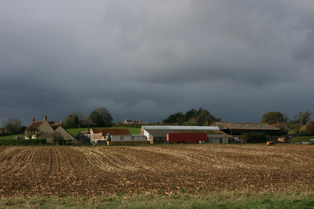
Ash Cross is a small village located in the county of Somerset, England. It is situated on the southern edge of the Exmoor National Park, near the border with Devon. The village is surrounded by picturesque countryside, characterized by rolling hills, lush greenery, and breathtaking views.
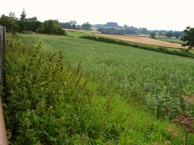
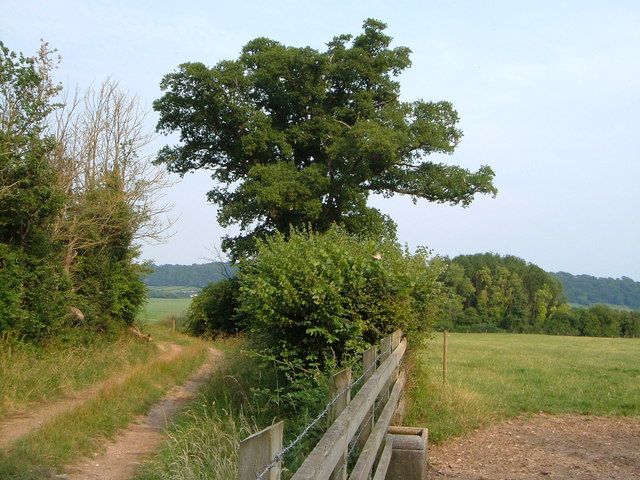
The landscape around Ash Cross is diverse, encompassing both downs and moorland. The downs consist of vast grassy areas that gently slope downwards, offering ample space for grazing livestock. These downs are interspersed with small woodlands, adding to the natural beauty of the area. On the other hand, the moorland is a distinctive feature of Exmoor National Park, with its heather-covered expanses and rocky outcrops.
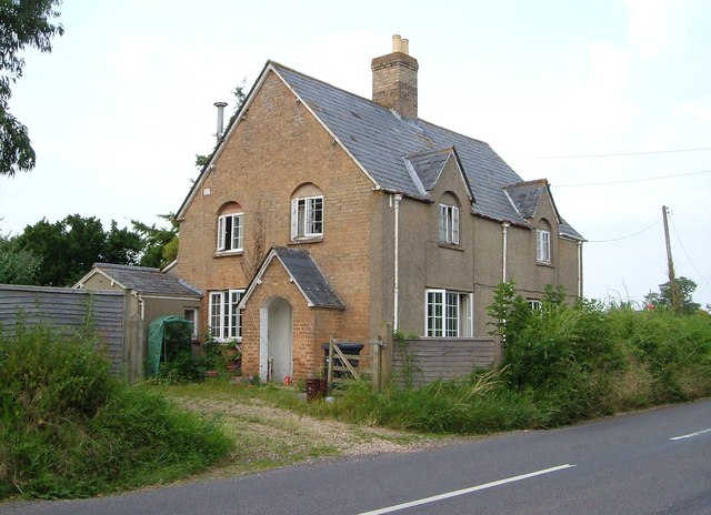
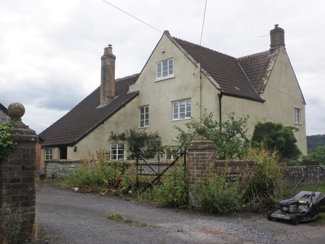
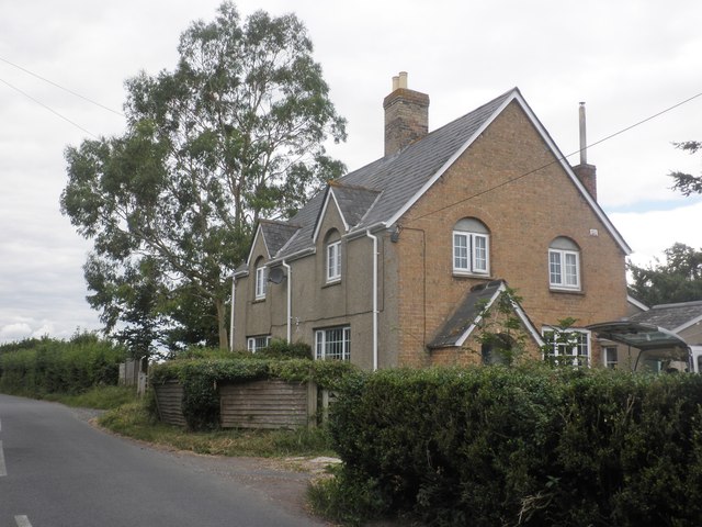
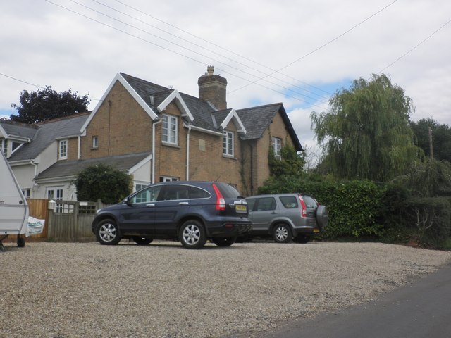
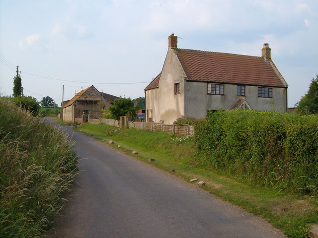
The village itself is small and quaint, with a tight-knit community that prides itself on its rural charm. Ash Cross is home to a few traditional cottages made of local stone, giving it a timeless appeal. The village also has a church, a village hall, and a local pub, serving as the social hub for residents and visitors alike.
The natural surroundings of Ash Cross offer plenty of opportunities for outdoor activities. Hiking, horse riding, and cycling are popular pastimes, with various trails crisscrossing the countryside. The area is also known for its diverse wildlife, including red deer, Exmoor ponies, and a variety of bird species.
Overall, Ash Cross is a hidden gem in the heart of Somerset, offering a peaceful and idyllic setting for those seeking a rural escape or a taste of the English countryside.
If you have any feedback on the listing, please let us know in the comments section below.
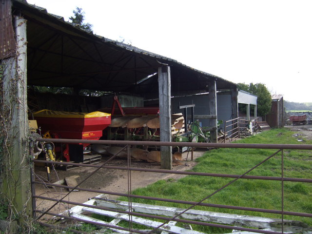
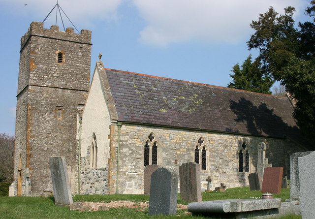
Ash Cross Images
Images are sourced within 2km of 51.002809/-3.0224293 or Grid Reference ST2823. Thanks to Geograph Open Source API. All images are credited.


Ash Cross is located at Grid Ref: ST2823 (Lat: 51.002809, Lng: -3.0224293)
Administrative County: Somerset
District: Somerset West and Taunton
Police Authority: Avon and Somerset
What 3 Words
///wriggled.speeding.suggested. Near Creech St Michael, Somerset
Nearby Locations
Related Wikis

Thornfalcon
Thornfalcon is a village and civil parish in Somerset, England, situated 4 miles (6.4 km) east of Taunton. The village has a population of 119. The parish...

Taunton Stop Line
The Taunton Stop Line was a World War II defensive line in southwest England. It was designed "to stop an enemy's advance from the west and in particular...
Church of St Mary, Stoke St Mary
The Anglican Church of St Mary in Stoke St Mary, Somerset, England was built in the 13th century. It is a Grade II* listed building. == History == The...
Stoke St Mary
Stoke St Mary is a village and civil parish in Somerset, England, situated 2 miles (3.2 km) south east of Taunton. == History == The earliest recorded...

West Hatch
West Hatch is a hamlet and civil parish in Somerset, England, situated 5 miles (8.0 km) south east of Taunton. It has a population of 306. == History... ==

Ruishton
Ruishton is a village and civil parish in Somerset, England, situated on the River Tone and A358 road 2 miles (3.2 km) east of Taunton. The village has...

Creech St Michael
Creech St Michael is a village and civil parish in Somerset, three miles east of Taunton. The parish straddles the M5 motorway and includes several scattered...
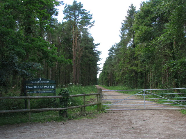
Thurlbear Wood and Quarrylands
Thurlbear Wood and Quarrylands (grid reference ST270210) is a 26.7 hectare (65.8 acre) biological Site of Special Scientific Interest south of Stoke St...
Nearby Amenities
Located within 500m of 51.002809,-3.0224293Have you been to Ash Cross?
Leave your review of Ash Cross below (or comments, questions and feedback).