Albaston

Settlement in Cornwall

England

Albaston

Cotehele courtyard The lovely buildings cared for by the National Trust.
Cotehele courtyard Credit: David M Clark

Albaston is a small village located in the county of Cornwall, in southwestern England. Situated on the southeastern edge of Bodmin Moor, it lies approximately 7 miles northeast of the town of Liskeard. Albaston is part of the civil parish of Calstock.

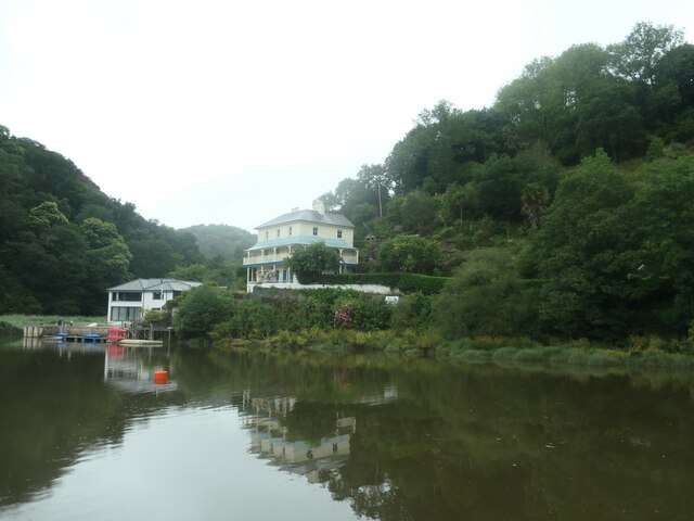
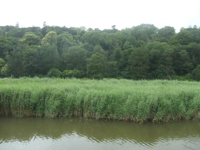
The village is known for its picturesque setting, nestled amidst rolling hills and lush green countryside. It offers breathtaking views of the surrounding landscapes, with the River Tamar flowing nearby. The area is rich in natural beauty, attracting visitors who enjoy outdoor activities such as hiking, cycling, and fishing.

Albaston has a rich history, dating back to the 19th century when it was a thriving mining community. The village was once home to several copper and tin mines, which played a significant role in Cornwall's mining industry. Today, remnants of this industrial heritage can still be seen in the form of old mine shafts and engine houses.

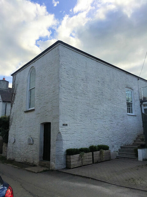
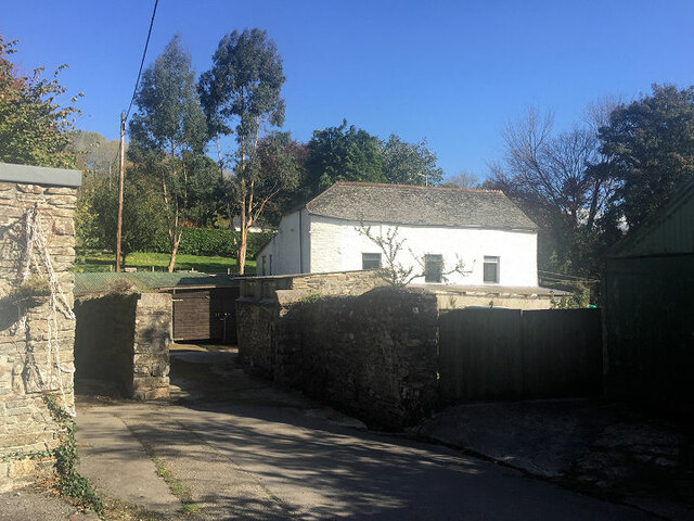
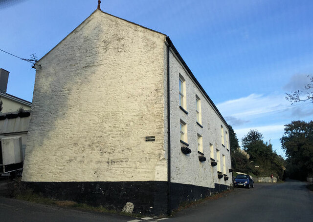
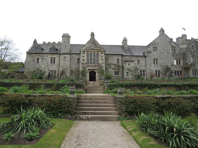
The village itself is relatively small, comprising a cluster of traditional stone houses and cottages. It has a friendly and close-knit community, with a few amenities such as a local pub, small shops, and a primary school. For more extensive services and facilities, residents typically rely on nearby towns like Callington or Tavistock.

Albaston offers a peaceful and tranquil environment, making it an ideal place for those seeking a quiet and rural lifestyle. Its proximity to Bodmin Moor and the Tamar Valley ensures that residents and visitors alike can enjoy the beauty of the natural surroundings.

If you have any feedback on the listing, please let us know in the comments section below.
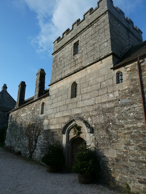
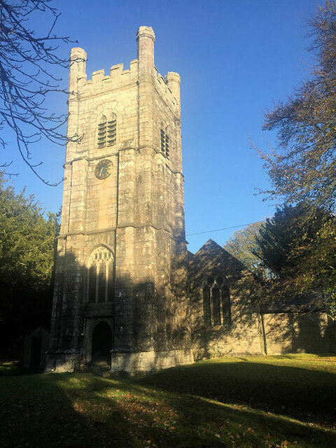
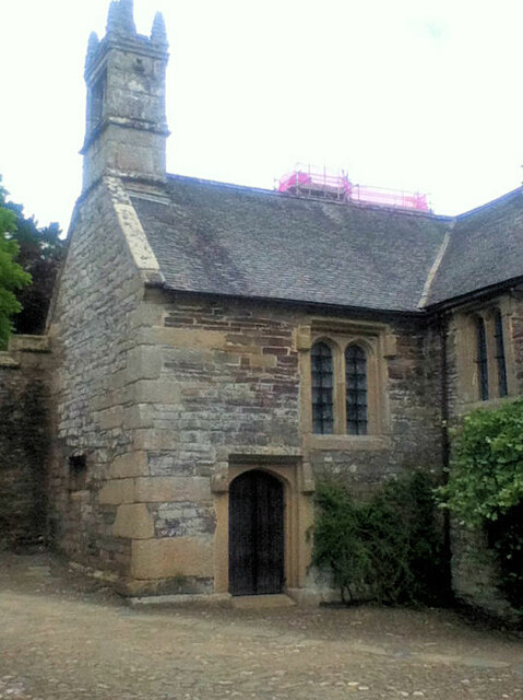
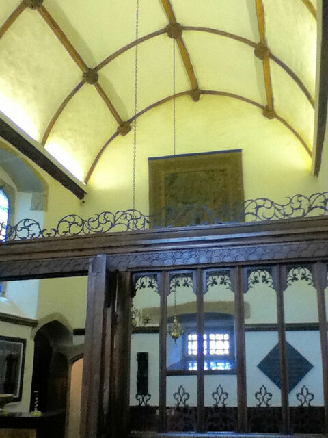
Albaston Images

Images are sourced within 2km of 50.511179/-4.2255228 or Grid Reference SX4270. Thanks to Geograph Open Source API. All images are credited.
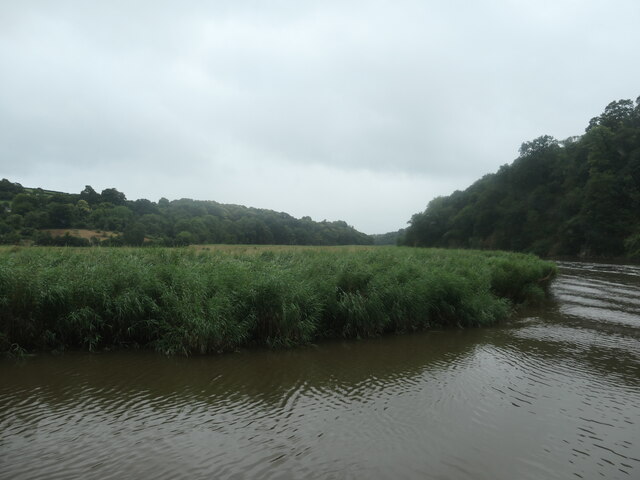
Cotehele courtyard The lovely buildings cared for by the National Trust.
Cotehele courtyard
The lovely buildings cared for by the National Trust.
Cotehele House A National Trust is an organization dedicated to preserving the cultural or environmental treasures of a particular geographic region. They generally operate as private non-profit organizations, although some receive considerable support from their national government. The first such organization was the National Trust for Places of Historic Interest or Natural Beauty, which is the National Trust of England, Wales and Northern Ireland, formed in 1895 and operating as a charitable organisation. 

Extract from Wikipedia <span class="nowrap"><a title="http://en.wikipedia.org/wiki/National_Trust" rel="nofollow ugc noopener" href="http://en.wikipedia.org/wiki/National_Trust">Link</a><img style="margin-left:2px;" alt="External link" title="External link - shift click to open in new window" src="https://s1.geograph.org.uk/img/external.png" width="10" height="10"/></span>

List of National Trust places <span class="nowrap"><a title="http://en.wikipedia.org/wiki/List_of_National_Trust_properties_in_England" rel="nofollow ugc noopener" href="http://en.wikipedia.org/wiki/List_of_National_Trust_properties_in_England">Link</a><img style="margin-left:2px;" alt="External link" title="External link - shift click to open in new window" src="https://s1.geograph.org.uk/img/external.png" width="10" height="10"/></span>
Cotehele House
A National Trust is an organization dedicated to preserving the cultural or environmental treasures of a particular geographic region. They generally operate as private non-profit organizations, although some receive considerable support from their national government. The first such organization was the National Trust for Places of Historic Interest or Natural Beauty, which is the National Trust of England, Wales and Northern Ireland, formed in 1895 and operating as a charitable organisation. Extract from Wikipedia LinkExternal link List of National Trust places LinkExternal link
The Christmas garland, Cotehele House, 2022 Each year, the hall of Cotehele House is decorated with a hanging garland of dried flowers in a pittosporum base.  In 2022, the dry summer restricted the choice of flowers from the gardens but the garland was constructed with 30,000 dried blooms.
The Christmas garland, Cotehele House, 2022
Each year, the hall of Cotehele House is decorated with a hanging garland of dried flowers in a pittosporum base. In 2022, the dry summer restricted the choice of flowers from the gardens but the garland was constructed with 30,000 dried blooms.
The south facade, Cotehele House The outer wall of the house was originally built to be defensive
The south facade, Cotehele House
The outer wall of the house was originally built to be defensive
St Andrew's Church
St Andrew's Church
Cotehele chapel
Cotehele chapel
Cotehele chapel
Cotehele chapel
The Old Chapel (formerly a Baptist church)
Former Mission building?
Metherell House (formerly a Bible Christian chapel)
Cotehele House Cotehele is a National Trust owned medieval house with Tudor additions, in Calstock.  Built by the Edgecumbe family in 1458 after the original Manor House was pulled down, it sits close to  the River Tamar. Sir Richard Edgecumbe came into the property after fighting for Henry Tudor in the Battle of Bosworth.
Cotehele House
Cotehele is a National Trust owned medieval house with Tudor additions, in Calstock. Built by the Edgecumbe family in 1458 after the original Manor House was pulled down, it sits close to the River Tamar. Sir Richard Edgecumbe came into the property after fighting for Henry Tudor in the Battle of Bosworth.
Cotehele from terraces One of the National Trust's best preserved medieval houses, set in fine gardens, overlooking the Tamar.
Cotehele from terraces
One of the National Trust's best preserved medieval houses, set in fine gardens, overlooking the Tamar.
The River Tamar, a county boundary The river bends sharply to the right/east at the houses. Everything on the left bank [woods and houses] is in Cornwall. The flat land on the inside of the bend is in Devon. The photographer's trip boat is probably in both counties.
The River Tamar, a county boundary
The river bends sharply to the right/east at the houses. Everything on the left bank [woods and houses] is in Cornwall. The flat land on the inside of the bend is in Devon. The photographer's trip boat is probably in both counties.
The Devon bank of the River Tamar, near Danescombe On the inside of a bend.
The Devon bank of the River Tamar, near Danescombe
On the inside of a bend.
Riverside houses at Danescombe In 1881 the building with the wrap-round balcony was the Ashburton Hotel.
Riverside houses at Danescombe
In 1881 the building with the wrap-round balcony was the Ashburton Hotel.
Riverbank, east of Cotehele Wood There is a flood wall out of sight behind the vegetation.
Riverbank, east of Cotehele Wood
There is a flood wall out of sight behind the vegetation.
Old Guide Stone, Cotehele Estate The Guide Stone is located in an old archway.  Parish of Calstock (Caradon District). Carved stone post, erected in the 19th Century. 

Inscription reads:-   
TO / HALTON / QUAY 

Milestone Society National ID: CW_XCALS2
Old Guide Stone, Cotehele Estate
The Guide Stone is located in an old archway.  Parish of Calstock (Caradon District). Carved stone post, erected in the 19th Century. Inscription reads:- TO / HALTON / QUAY Milestone Society National ID: CW_XCALS2
Old Milestone by UC road, half a mile west of Calstock The Milestone is located possibly by an old tramline on the side of the road.  Parish of Calstock (Caradon District). Carved stone post, erected in the 19th Century. 

Inscription reads:-
C / ½ 

Milestone Society National ID: CW_LACL10A
Old Milestone by UC road, half a mile west of Calstock
The Milestone is located possibly by an old tramline on the side of the road.  Parish of Calstock (Caradon District). Carved stone post, erected in the 19th Century. Inscription reads:- C / ½ Milestone Society National ID: CW_LACL10A
Show me another place!

Albaston is located at Grid Ref: SX4270 (Lat: 50.511179, Lng: -4.2255228)

Unitary Authority: Cornwall

Police Authority: Devon and Cornwall

What 3 Words

///insolvent.nitrogen.sizzled. Near Gunnislake, Cornwall

Nearby Locations

Drakewalls Albaston

Related Wikis

Albaston

Albaston (Cornish: Trevalba) is a hamlet in Cornwall, England, United Kingdom. It is in the civil parish of Calstock. It is located at Ordnance Survey...

Drakewalls

Drakewalls is a small village in southeast Cornwall, England, UK. It is in Calstock parish, adjacent to Gunnislake between Callington and Tavistock.Primary...

Gunnislake railway station

Gunnislake railway station (Cornish: Dowrgonna) serves the village of Gunnislake in Cornwall, England. There are also connecting buses from here to the...

Norris Green, Cornwall

Norris Green is a village in Cornwall, England, UK. It was enlarged from a farming hamlet so that it now adjoins the neighbouring village of Higher Metherell...

St Ann's Chapel, Cornwall

St Ann's Chapel is a village in the parish of Calstock, Cornwall, England, United Kingdom. It is west of Gunnislake on the A390 between Tavistock and Liskeard...

Sylvia's Meadow

Sylvia's Meadow, a Site of Special Scientific Interest, is a nature reserve owned and managed by Cornwall Wildlife Trust. It is a herb rich, 5-hectare...

Prospect Tower

Prospect Tower is a folly on the Cotehele Estate. It has three sides and is 60ft high. When the National Trust was given the Cotehele Estate in 1947 the...

Dimson

Dimson is a small village in Cornwall, England. It is situated in the Tamar Valley approximately 10+1⁄2 miles (16.9 km) north of Plymouth and around two...

Nearby Amenities

Located within 500m of 50.511179,-4.2255228
School
Delaware Primary School
Lat/Long: 50.5151356/-4.2261937
Tamar Valley Centre
Addr City: Gunnislake
Addr Housename: Tamar Valley Centre
Addr Postcode: PL18 9FE
Addr Street: Cemetery Road
Information: office
Tourism: information
Lat/Long: 50.514483/-4.2221208
Drakewalls Mine
Disused: yes
Historic: mine
Lat/Long: 50.5146671/-4.2222465
Albaston
Name En: Albaston
Name Kw: Trevalba
Place: hamlet
Wikidata: Q4709432
Lat/Long: 50.5116431/-4.2253138
Barrier: stile
Lat/Long: 50.5098588/-4.2298298
Todsworthy Farm
Place: locality
Lat/Long: 50.5115385/-4.2311579
Pub
The Queens Head
Source: Bing
Lat/Long: 50.5119308/-4.2253415
Parking
Lat/Long: 50.5133002/-4.2263214
Power: pole
Lat/Long: 50.5116134/-4.2267564
Power: pole
Lat/Long: 50.5121627/-4.227671
Power: pole
Lat/Long: 50.5134828/-4.2284167
Power: pole
Lat/Long: 50.5148029/-4.2291999
Generator Method: photovoltaic
Generator Output Electricity: yes
Generator Source: solar
Generator Type: solar_photovoltaic_panel
Location: roof
Power: generator
Lat/Long: 50.514514/-4.2221045
Generator Method: photovoltaic
Generator Output Electricity: yes
Generator Source: solar
Generator Type: solar_photovoltaic_panel
Location: roof
Power: generator
Lat/Long: 50.5125119/-4.2260935
Generator Method: photovoltaic
Generator Output Electricity: yes
Generator Source: solar
Generator Type: solar_photovoltaic_panel
Location: roof
Power: generator
Lat/Long: 50.5127354/-4.2262963
Generator Method: photovoltaic
Generator Output Electricity: yes
Generator Source: solar
Generator Type: solar_photovoltaic_panel
Location: roof
Power: generator
Lat/Long: 50.5132064/-4.2261746
Generator Method: photovoltaic
Generator Output Electricity: yes
Generator Source: solar
Generator Type: solar_photovoltaic_panel
Location: roof
Power: generator
Lat/Long: 50.5128179/-4.2264774
Access: yes
Historic: chimney
Historic Civilization: industrial
Lat/Long: 50.5149251/-4.223486
Generator Method: wind_turbine
Generator Source: wind
Power: generator
Lat/Long: 50.5142855/-4.2233358
Telephone
Booth: K6
Covered: booth
Man Made: telephone_box
Old Phone: +44 1822 832627
Lat/Long: 50.5118817/-4.2255701
Post Box
Brand: Royal Mail
Brand Wikidata: Q638098
Brand Wikipedia: en:Royal Mail
Collection Times: Mo-Fr 15:45; Sa 10:30; Su off
Drive Through: no
Operator: Royal Mail
Operator Wikidata: Q638098
Post Box Design: type_b
Post Box Mounting: building
Post Box Type: wall
Ref: PL18 90
Royal Cypher: GR
Royal Cypher Wikidata: Q33102273
Source: survey;streetlevel imagery;aerial imagery
Lat/Long: 50.5118992/-4.2255071
Post Box
Brand: Royal Mail
Brand Wikidata: Q638098
Brand Wikipedia: en:Royal Mail
Fixme: Needs a survey to confirm details and refine location
Operator: Royal Mail
Operator Wikidata: Q638098
Ref: PL18 86
Lat/Long: 50.5119286/-4.2195331
The data included in this document is from www.openstreetmap.org. The data is made available under ODbL.

Have you been to Albaston?

Leave your review of Albaston below (or comments, questions and feedback).