Alameda Place
Settlement in Middlesex
England
Alameda Place

Alameda Place is a small residential area located in the county of Middlesex, England. Situated in the south-eastern part of the county, it is part of the suburban district of Alameda, within the larger town of Middlesex.
The area is characterized by its peaceful and leafy surroundings, making it an attractive place for families and individuals seeking a quiet suburban lifestyle. Alameda Place primarily consists of detached and semi-detached houses, with well-maintained gardens and driveways. The architecture in the area is predominantly traditional, with a mix of Victorian and Edwardian-style homes, giving it a charming and timeless appeal.
Residents of Alameda Place benefit from the convenience of local amenities nearby. The area is well-served by a range of shops, including grocery stores, pharmacies, and small businesses catering to daily needs. Additionally, there are several schools in close proximity, providing educational opportunities for families with children.
Transportation options in Alameda Place are readily available, with reliable bus services connecting the area to the wider Middlesex region. The nearby Alameda train station offers regular services to central London, making it an ideal location for commuters working in the city.
The community spirit in Alameda Place is strong, with various neighborhood events and activities organized throughout the year. The area also boasts several parks and green spaces, providing residents with opportunities for outdoor recreation.
Overall, Alameda Place in Middlesex offers a serene and family-friendly living environment, combining suburban tranquility with convenient access to urban amenities.
If you have any feedback on the listing, please let us know in the comments section below.
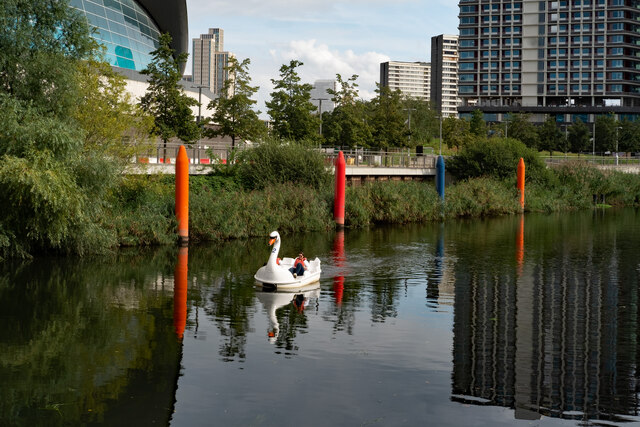
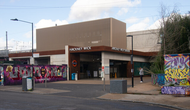
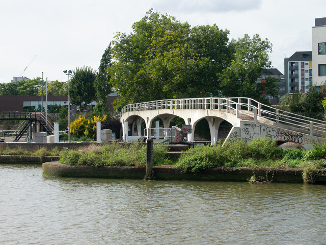
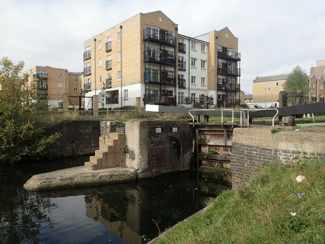
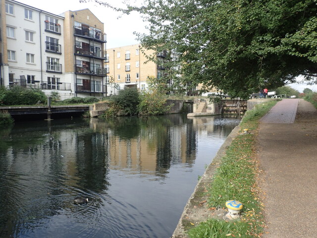
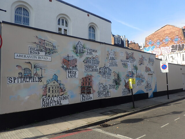
Alameda Place Images
Images are sourced within 2km of 51.529403/-0.016673827 or Grid Reference TQ3783. Thanks to Geograph Open Source API. All images are credited.


Alameda Place is located at Grid Ref: TQ3783 (Lat: 51.529403, Lng: -0.016673827)
Unitary Authority: Tower Hamlets
Police Authority: Metropolitan
What 3 Words
///sang.lied.live. Near Poplar, London
Nearby Locations
Related Wikis
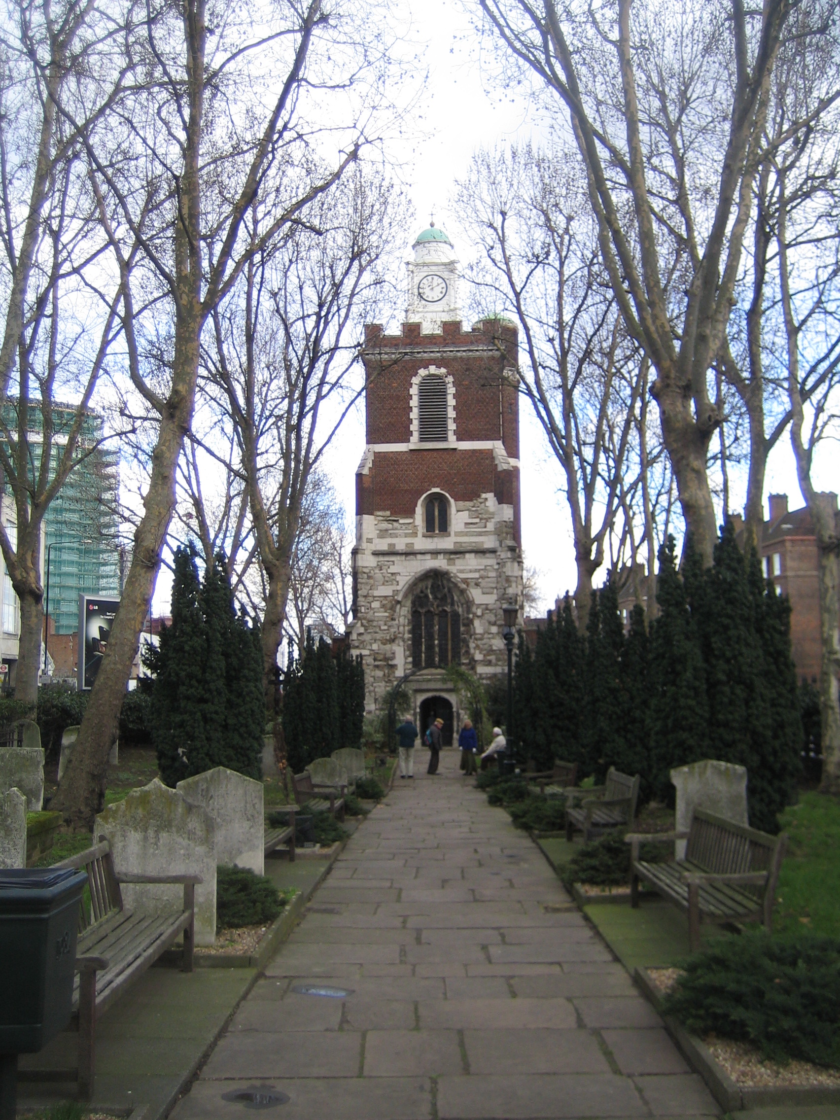
Bow Church
Bow Church is the parish church of St Mary and Holy Trinity, Stratford, Bow. It is located on a central reservation site in Bow Road (part of the A11)...
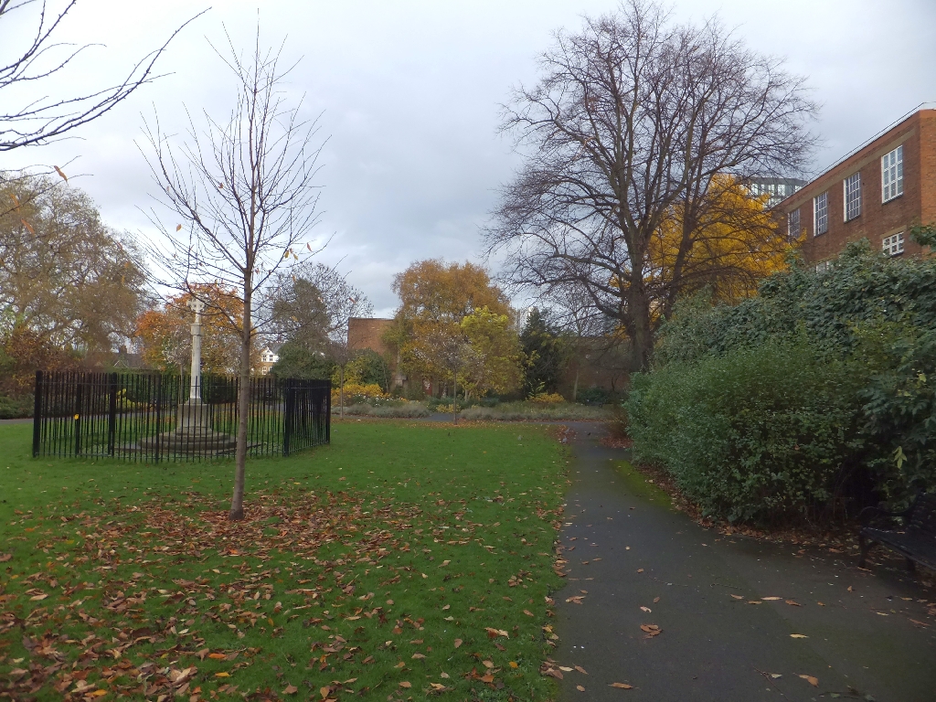
Grove Hall Park
Grove Hall Park is a 1.19 ha public park in Bow in the London Borough of Tower Hamlets, East London. It includes play areas, a ball games area, and a small...

Church of Our Lady and St Catherine of Siena, Bow
The Church of Our Lady and St Catherine of Siena is a Roman Catholic church dedicated to the Virgin Mary and Catherine of Siena at 179 Bow Road, E3 in...

Bow Interchange
Bow Interchange is a busy grade-separated road junction in London, England, on the East Cross Route (part of the A12 road) between Bow, Stratford, and...
Nearby Amenities
Located within 500m of 51.529403,-0.016673827Have you been to Alameda Place?
Leave your review of Alameda Place below (or comments, questions and feedback).