Airds Bay

Settlement in Argyllshire

Scotland

Airds Bay

Boat Moored on the River Nant at Taynuilt, Scottish Highlands
Boat Moored on the River Nant at Taynuilt, Scottish Highlands Credit: Andrew Tryon

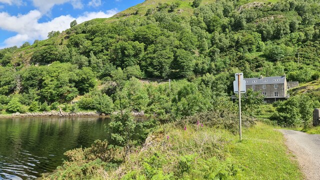
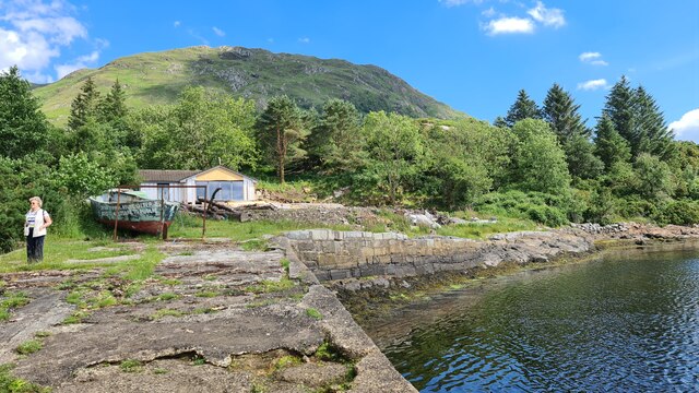
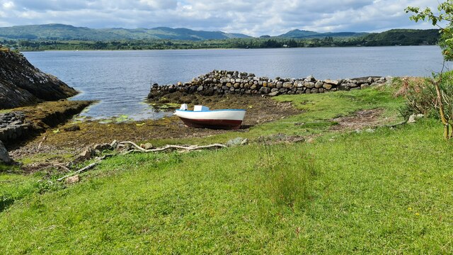
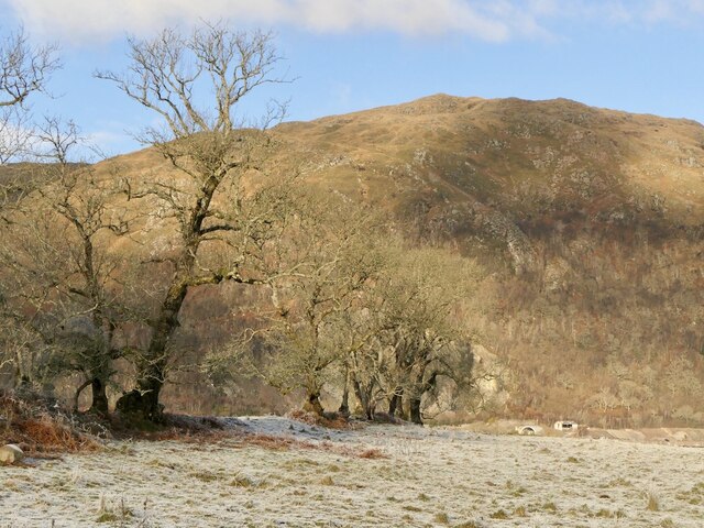
Airds Bay is a picturesque coastal village located in Argyllshire, Scotland. Situated on the western shores of Loch Etive, it offers breathtaking views of the surrounding natural beauty. The village itself is small and tranquil, providing a peaceful retreat away from the hustle and bustle of city life.

The main attraction of Airds Bay is its stunning beach, which stretches for miles along the coastline. The golden sand and crystal-clear waters make it a popular spot for both locals and tourists, especially during the summer months. Visitors can enjoy a leisurely walk along the beach, sunbathe, or even try their hand at various water sports like kayaking and paddleboarding.

In addition to the beach, Airds Bay is also known for its hiking trails and nature reserves. The nearby hills and mountains provide ample opportunities for outdoor enthusiasts to explore the area's diverse flora and fauna. It is not uncommon to spot deer, birds, and other wildlife during a hike in this scenic region.

The village itself is home to a few quaint cottages and a small local pub, where visitors can enjoy a traditional Scottish meal and sample some local whisky. Although Airds Bay is a quiet and remote village, it is within driving distance of larger towns and cities, making it the perfect base for those who wish to explore the wider Argyllshire area.

Overall, Airds Bay is a hidden gem in Argyllshire, offering a peaceful and idyllic setting for those seeking a break from the hustle of everyday life. Its stunning beach, scenic hikes, and charming village make it a must-visit destination for nature lovers and those looking to experience the true beauty of Scotland's west coast.

If you have any feedback on the listing, please let us know in the comments section below.

Airds Bay Images

Images are sourced within 2km of 56.440965/-5.2523056 or Grid Reference NM9932. Thanks to Geograph Open Source API. All images are credited.

Boat Moored on the River Nant at Taynuilt, Scottish Highlands
Iron Gate at Bonawe House, Taynuilt, Scottish Highlands
View north-east from the A85
The Taynuilt Inn after the fire of 21st September 2021 A devastating fire occurred in the early morning of 21st September 2021, causing extensive damage to the structure of the historic Taynuilt Inn. Fortunately, everyone on the premises was able to escape unharmed. This photograph was taken a few days later.
The Taynuilt Inn after the fire of 21st September 2021
A devastating fire occurred in the early morning of 21st September 2021, causing extensive damage to the structure of the historic Taynuilt Inn. Fortunately, everyone on the premises was able to escape unharmed. This photograph was taken a few days later.
Furnace at Bonawe Ironworks This beautifully managed site explains the history and working of the most complete charcoal-fired furnace in the British Isles. It was founded by the Newland Company in Cumbria who, because of a shortage of charcoal there, found a good source of wood for making charcoal in Argyll and chose to establish a furnace at Bonawe, rather than transport it the 300 miles to Cumbria. The Bonawe Furnace was established in 1753 and continued working until 1876, when it succumbed to more efficient competition. There was no forge, so most of its output went to the company's base in Furness, with surplus going elsewhere. The only finished product to go from Bonawe was cannonballs.
Furnace at Bonawe Ironworks
This beautifully managed site explains the history and working of the most complete charcoal-fired furnace in the British Isles. It was founded by the Newland Company in Cumbria who, because of a shortage of charcoal there, found a good source of wood for making charcoal in Argyll and chose to establish a furnace at Bonawe, rather than transport it the 300 miles to Cumbria. The Bonawe Furnace was established in 1753 and continued working until 1876, when it succumbed to more efficient competition. There was no forge, so most of its output went to the company's base in Furness, with surplus going elsewhere. The only finished product to go from Bonawe was cannonballs.
Bonawe Furnace – 1998 Looking down the site from between the charcoal stores. 

The complete site is a designated Scheduled Monument rather than the buildings being Listed. It is in the care of Historic Environment Scotland.
Bonawe Furnace – 1998
Looking down the site from between the charcoal stores. The complete site is a designated Scheduled Monument rather than the buildings being Listed. It is in the care of Historic Environment Scotland.
Bonawe Furnace – 1998 The blast furnace.

The complete site is a designated Scheduled Monument rather than the buildings being Listed. It is in the care of Historic Environment Scotland.
Bonawe Furnace – 1998
The blast furnace. The complete site is a designated Scheduled Monument rather than the buildings being Listed. It is in the care of Historic Environment Scotland.
Footpath to Taynuilt railway station
B845 towards Bonawe
B845 towards Bonawe
Cows grazing near Taynuilt
Ardchattan Primary School
Woodland at Bonawe
Woodland at Bonawe
Site of old Bonawe Ferry
Port Mor, Loch Etive
Looking towards Bonawe, Loch Etive
A line of ashes A former field boundary, Inverawe
A line of ashes
A former field boundary, Inverawe
Pier, Loch Etive Opposite Bonawe Quarry.
Pier, Loch Etive
Opposite Bonawe Quarry.
Show me another place!

Airds Bay is located at Grid Ref: NM9932 (Lat: 56.440965, Lng: -5.2523056)

Unitary Authority: Argyll and Bute

Police Authority: Argyll and West Dunbartonshire

What 3 Words

///fresh.connects.acclaimed. Near Oban, Argyll & Bute

Nearby Locations

Airds Bay Clach Manessag

Related Wikis

Taynuilt railway station

Taynuilt railway station is a railway station serving the village of Taynuilt in western Scotland. This station is on the Oban branch of the West Highland...

Taynuilt

Taynuilt (Scots: [ˈtɛinəlt]; Scottish Gaelic: Taigh an Uillt [t̪ʰɤj ən̪ˠ ˈɯiʎtʲ], meaning 'the house by the stream') is a large village in Argyll and Bute...
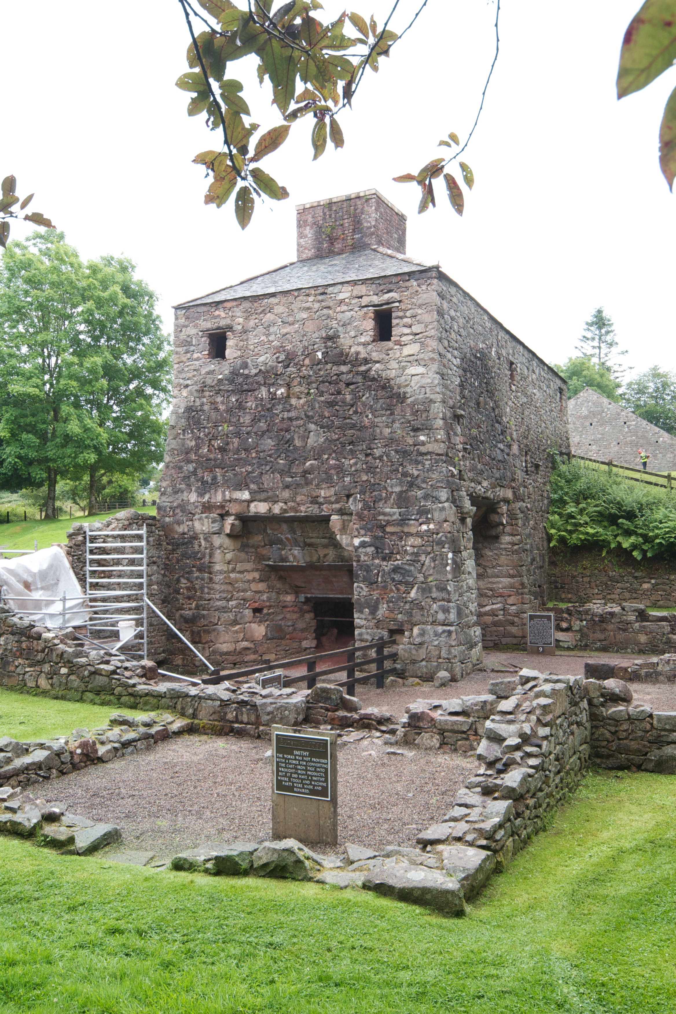
Bonawe Iron Furnace

The Bonawe Iron Furnace (also called the Lorn Furnace), was an industrial complex located in Bonawe, Lorn District, Scotland. It operated in the middle...

River Awe

The River Awe (Scottish Gaelic: Uisge Abha) is a short river in the Southwest Highlands of Scotland by which the freshwater Loch Awe empties into Loch...
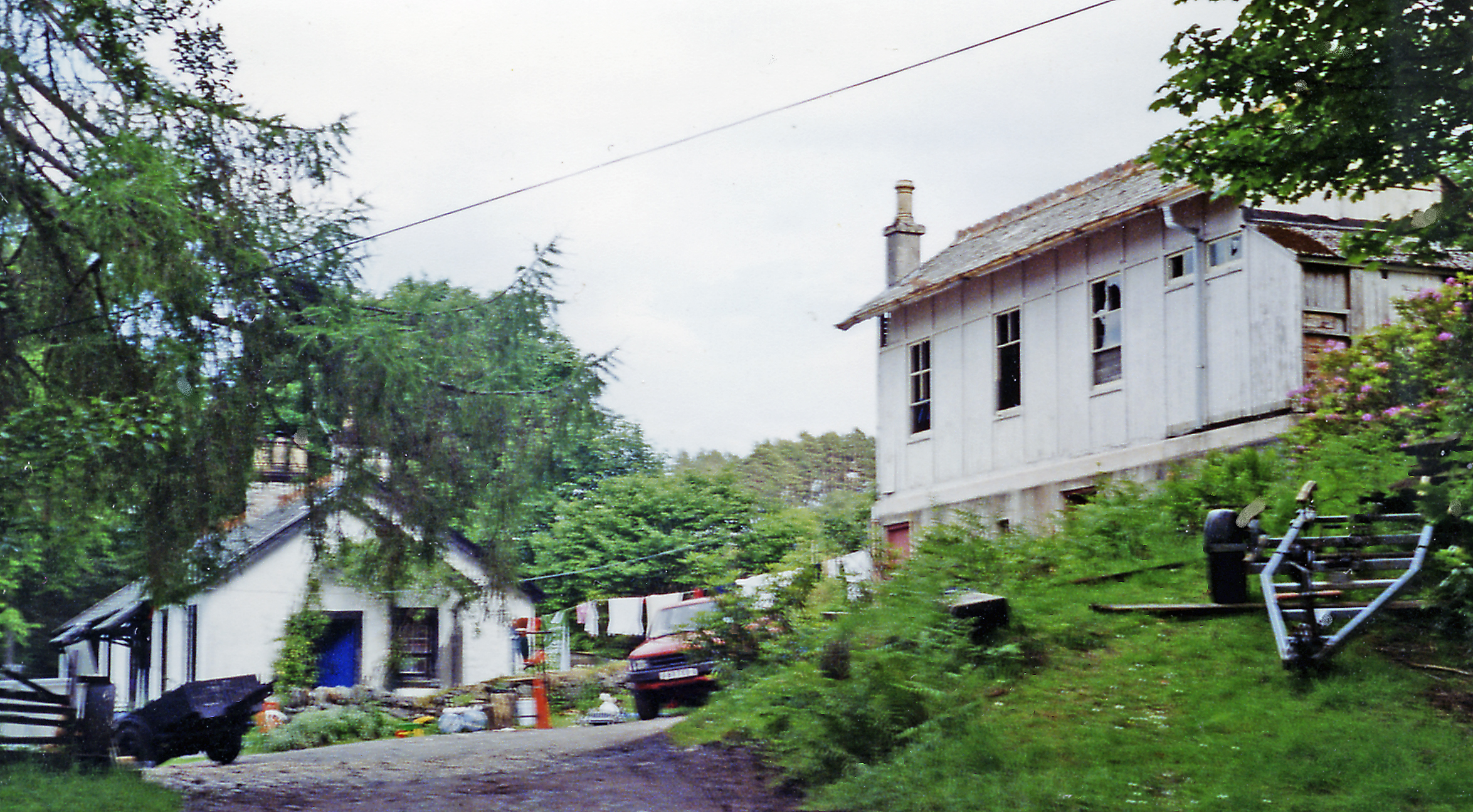
Bonawe

Bonawe (Scots pronunciation: [boˈnɔː]; Scottish Gaelic: Bun Abha [puˈna.ə]) is a village in Ardchattan Parish Argyll and Bute, Scotland opposite Taynuilt...

Fearnoch

Fearnoch is a small village in Argyll and Bute, Scotland. It is located just off the A85 road, about 2 miles (3 km) west of the village of Taynuilt....

Ardchattan and Muckairn

Ardchattan and Muckairn is a civil parish within Argyll and Bute in Scotland. It lies north of Oban, bordering Loch Etive and includes Glen Ure, Glen Creran...

Ach-na-Cloich railway station

Ach-na-Cloich is a closed railway station located on the south shore of Loch Etive, in Argyll and Bute. Its site is located on the Oban route of the scenic...

Nearby Amenities

Located within 500m of 56.440965,-5.2523056
Source: PGS
Lat/Long: 56.4389033/-5.2462083
Post Box
Ref: PA35 50
Lat/Long: 56.4410011/-5.2524177
Power: pole
Lat/Long: 56.4433241/-5.2529105
Power: pole
Lat/Long: 56.442901/-5.2531688
Power: pole
Lat/Long: 56.4422925/-5.2535382
Power: pole
Lat/Long: 56.4415905/-5.2539607
Power: pole
Lat/Long: 56.4409406/-5.2543373
Power: pole
Lat/Long: 56.4405042/-5.253036
Power: pole
Lat/Long: 56.4402492/-5.2522587
Power: pole
Lat/Long: 56.4398782/-5.2522852
Power: pole
Lat/Long: 56.4391869/-5.2523238
Power: pole
Lat/Long: 56.4386063/-5.2521862
Power: pole
Lat/Long: 56.4380177/-5.2520438
Power: pole
Lat/Long: 56.4374344/-5.2519038
Power: pole
Lat/Long: 56.4368659/-5.2517492
Airds Bay
Name En: Airds Bay
Name Gd: Camas na h-Àirde
Place: hamlet
Lat/Long: 56.4382928/-5.2482133
The data included in this document is from www.openstreetmap.org. The data is made available under ODbL.

Have you been to Airds Bay?

Leave your review of Airds Bay below (or comments, questions and feedback).