Adendale

Settlement in Kincardineshire

Scotland

Adendale

Water trough, in memory of a local Boer War soldier d.1900 At a high point on the B974, between Banchory and Strachan. The wood on the skyline is on the southern flank of Scolty Hill.
Water trough, in memory of a local Boer War soldier d.1900 Credit: Stanley Howe

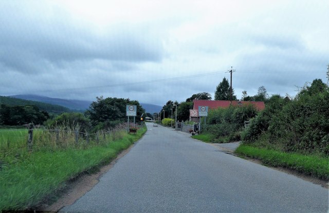
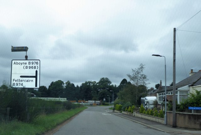
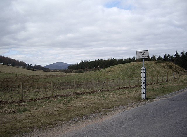
Adendale is a charming village located in the historical county of Kincardineshire, Scotland. Situated in the southeastern part of the country, it lies approximately 20 miles south of Aberdeen and is surrounded by picturesque rolling hills and lush countryside. The village is nestled along the banks of the River Dee, offering stunning views and a tranquil atmosphere.

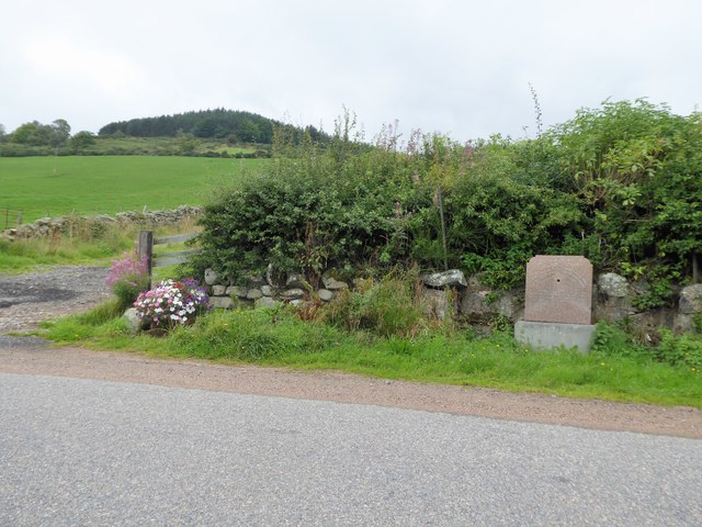
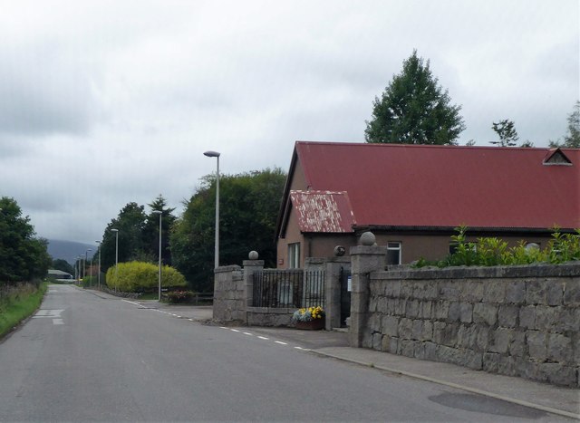
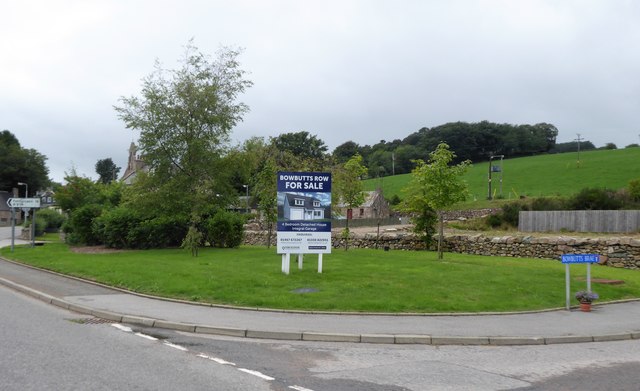
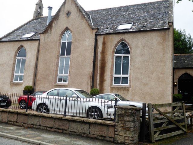
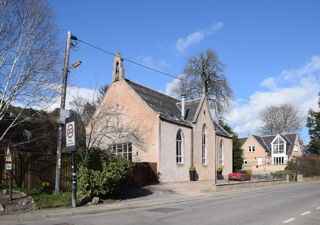
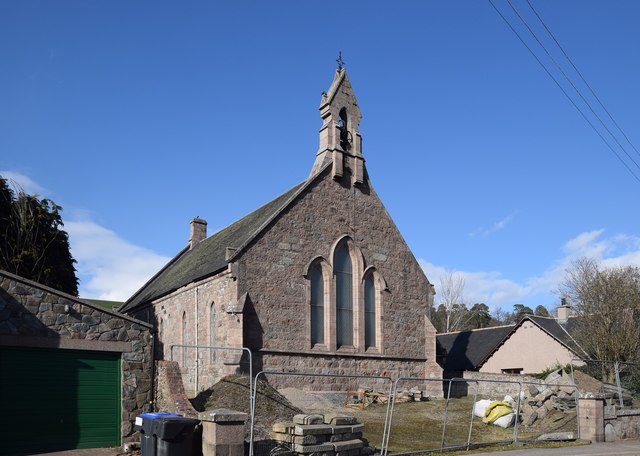
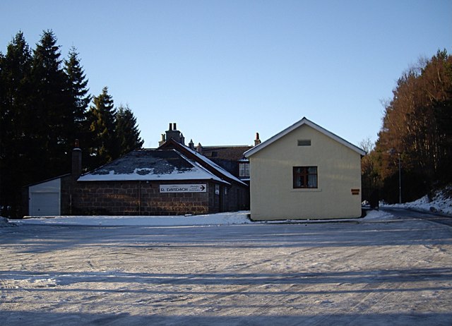
With a population of around 500 residents, Adendale retains a close-knit community feel. The village is known for its well-preserved traditional architecture, with many stone-built houses and cottages dating back several centuries. The main street is lined with quaint shops, cafes, and local businesses, providing a range of amenities for both residents and visitors.

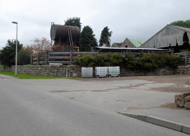
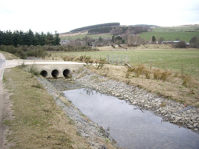
Adendale is renowned for its rich agricultural heritage, with farming playing a significant role in the local economy. The surrounding fertile land is ideal for the cultivation of crops and the rearing of livestock. The village also benefits from its proximity to the River Dee, which offers excellent fishing opportunities, particularly for salmon.

For outdoor enthusiasts, Adendale is a haven. The nearby countryside provides ample opportunities for hiking, cycling, and horseback riding, allowing residents and visitors to immerse themselves in the natural beauty of the area. Additionally, the stunning coastline is only a short drive away, offering sandy beaches and rugged cliffs to explore.

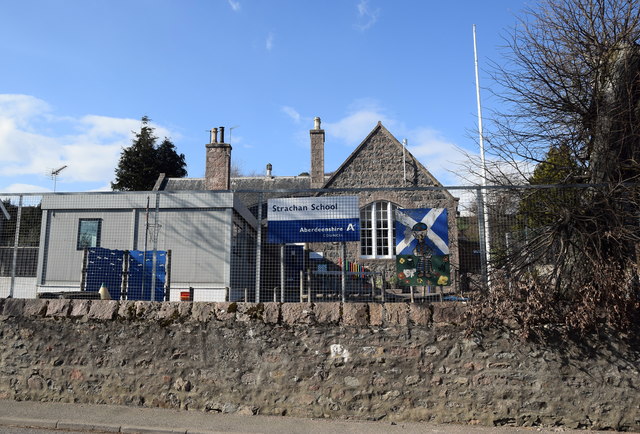
In terms of education, Adendale is home to a well-regarded primary school, providing a high standard of education for local children. Secondary education is available in nearby towns, with reliable bus services connecting Adendale to these facilities.

Overall, Adendale is a delightful village, offering a peaceful and scenic setting, a strong sense of community, and easy access to both rural and coastal amenities.

If you have any feedback on the listing, please let us know in the comments section below.
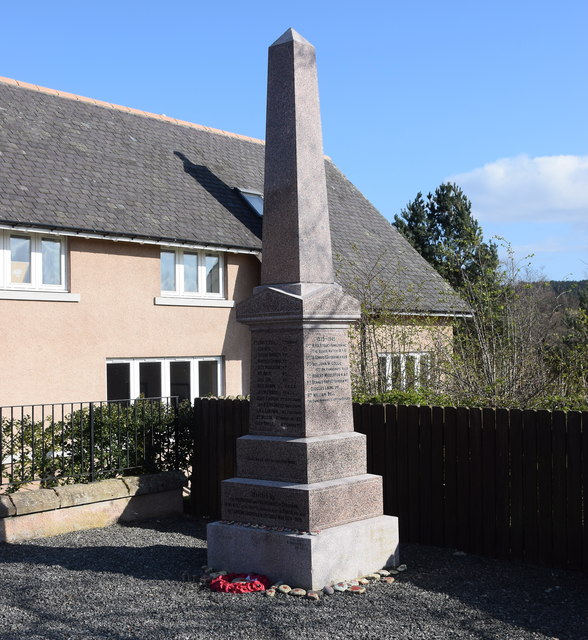
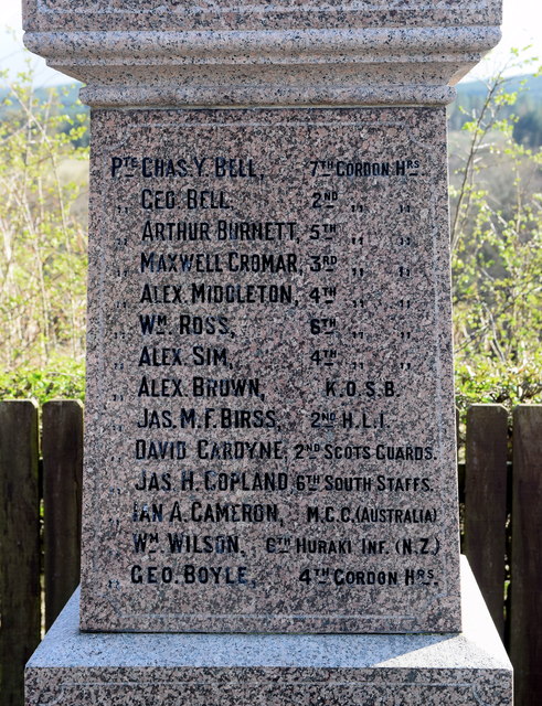
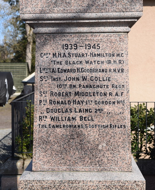
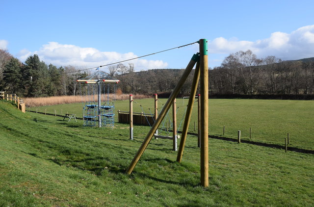
Adendale Images

Images are sourced within 2km of 57.019682/-2.553647 or Grid Reference NO6692. Thanks to Geograph Open Source API. All images are credited.

Water trough, in memory of a local Boer War soldier d.1900 At a high point on the B974, between Banchory and Strachan. The wood on the skyline is on the southern flank of Scolty Hill.
Water trough, in memory of a local Boer War soldier d.1900
At a high point on the B974, between Banchory and Strachan. The wood on the skyline is on the southern flank of Scolty Hill.
Welcome to Strachan On the B974 from Banchory; cemetery and village hall on right.
Welcome to Strachan
On the B974 from Banchory; cemetery and village hall on right.
Gated entrance to Strachan cemetery Adjacent to the village hall.
Gated entrance to Strachan cemetery
Adjacent to the village hall.
Gateside Farm, Strachan Elevated slurry tank by B974.
Gateside Farm, Strachan
Elevated slurry tank by B974.
Road Junction sign in Strachan B974 Fettercairn/B976 Aboyne.
Road Junction sign in Strachan
B974 Fettercairn/B976 Aboyne.
Bowbutts Row For Sale notice, Strachan Building Plot on offer; off Bowbutts Brae at its junction with B974.
Bowbutts Row For Sale notice, Strachan
Building Plot on offer; off Bowbutts Brae at its junction with B974.
Former Free Church, Strachan Converted to a 2-storey residence in 2000
(see <span class="nowrap"><a title="http://www.scottishchurches.org.uk/sites/site/id/1494/image/8830/name" rel="nofollow ugc noopener" href="http://www.scottishchurches.org.uk/sites/site/id/1494/image/8830/name">Link</a><img style="margin-left:2px;" alt="External link" title="External link - shift click to open in new window" src="https://s1.geograph.org.uk/img/external.png" width="10" height="10"/></span>
/Former+Free+Church%2C+Strachan+Strachan+Grampian) 
Parked cars suggest some current inhabitants.
Former Free Church, Strachan
Converted to a 2-storey residence in 2000 (see LinkExternal link /Former+Free+Church%2C+Strachan+Strachan+Grampian) Parked cars suggest some current inhabitants.
Single track lane to Tillylair From its junction with B976 near Castle Hill.
Single track lane to Tillylair
From its junction with B976 near Castle Hill.
Former free kirk, Strachan Built 1843, just after the Disruption and now in residential use.  There is a Canmore record (317317) but no details: <span class="nowrap"><a title="https://canmore.org.uk/site/317317/strachan-united-free-church" rel="nofollow ugc noopener" href="https://canmore.org.uk/site/317317/strachan-united-free-church">Link</a><img style="margin-left:2px;" alt="External link" title="External link - shift click to open in new window" src="https://s1.geograph.org.uk/img/external.png" width="10" height="10"/></span> .
Former free kirk, Strachan
Built 1843, just after the Disruption and now in residential use. There is a Canmore record (317317) but no details: LinkExternal link .
Strachan primary school In April 2019, the school was described as "currently mothballed" due to low pupil numbers, who have been transferred to other schools.
Strachan primary school
In April 2019, the school was described as "currently mothballed" due to low pupil numbers, who have been transferred to other schools.
Former Strachan parish kirk Built 1867 in Early English style and just merits a C-listing (LB6215): <span class="nowrap"><a title="http://portal.historicenvironment.scot/designation/LB16215" rel="nofollow ugc noopener" href="http://portal.historicenvironment.scot/designation/LB16215">Link</a><img style="margin-left:2px;" alt="External link" title="External link - shift click to open in new window" src="https://s1.geograph.org.uk/img/external.png" width="10" height="10"/></span> .
Former Strachan parish kirk
Built 1867 in Early English style and just merits a C-listing (LB6215): LinkExternal link .
Strachan kirkyard This is thought to be the site of a church dating from around 1242 but no trace remains although it was in use until around 1860 when the new parish kirk was built across the street.  The ruin of what may be the former session house can be seen in the background.  Compare Canmore record 359142: <span class="nowrap"><a title="https://canmore.org.uk/site/359142/strachan" rel="nofollow ugc noopener" href="https://canmore.org.uk/site/359142/strachan">Link</a><img style="margin-left:2px;" alt="External link" title="External link - shift click to open in new window" src="https://s1.geograph.org.uk/img/external.png" width="10" height="10"/></span> .
Strachan kirkyard
This is thought to be the site of a church dating from around 1242 but no trace remains although it was in use until around 1860 when the new parish kirk was built across the street. The ruin of what may be the former session house can be seen in the background. Compare Canmore record 359142: LinkExternal link .
Strachan war memorial The memorial originally stood beside the parish kirk a couple of hundred metres up the road.
Strachan war memorial
The memorial originally stood beside the parish kirk a couple of hundred metres up the road.
Strachan war memorial (close up)
Play area Quite fancy for a small village, probably erected as a developer contribution when new houses were built...
Play area
Quite fancy for a small village, probably erected as a developer contribution when new houses were built...
Ditch and culvert Part of recent flood defence work carried out near the Water of Feugh in Strachan.
Ditch and culvert
Part of recent flood defence work carried out near the Water of Feugh in Strachan.
Roadside flood gauge near Strachan A recent erection, but steadfastly eschewing metric measurement!
Roadside flood gauge near Strachan
A recent erection, but steadfastly eschewing metric measurement!
Show me another place!

Adendale is located at Grid Ref: NO6692 (Lat: 57.019682, Lng: -2.553647)

Unitary Authority: Aberdeenshire

Police Authority: North East

What 3 Words

///magazine.rainwater.risen. Near Banchory, Aberdeenshire

Nearby Locations

Adendale

Related Wikis

Strachan, Aberdeenshire

Strachan is a village in Aberdeenshire, Scotland that lies along the Water of Feugh, a tributary of the River Dee, Aberdeenshire, a few miles southwest...

Scolty Hill

Scolty Hill is a small hill south of the Deeside town, Banchory. Its best known feature is the 20m tall tower monument, built in 1840 as a memorial to...

Water of Aven

The Water of Aven (or A'an) (Scottish Gaelic: an t-Uisge Bàn) is a tributary of the Water of Feugh, itself the largest tributary of the River Dee, Aberdeenshire...

Kinneskie Road drill hall, Banchory

The Kinneskie Road drill hall is a former military installation near Banchory, Scotland. == History == The building was designed as the headquarters of...

Braehead, Banchory

Braehead, Banchory is a proposed major housing development to the south of Banchory, Aberdeenshire, Scotland. The site is home to Braehead farm, formerly...

Banchory Town Hall

Banchory Town Hall is a municipal structure in the High Street, Banchory, Aberdeenshire, Scotland. The structure is primarily used as a community events...

Finzean

Finzean (; Scottish Gaelic: Fìnnean) is a rural community, electoral polling district, community council area and former ecclesiastical parish, which forms...

Dee Street Halt railway station

Dee Street Halt railway station was a short-lived stopping place on the Aberdeen and Ballater railway branch. It was situated at 17 miles 30 chains (28...

Nearby Amenities

Located within 500m of 57.019682,-2.553647
Mill of Haugh
Place: hamlet
Lat/Long: 57.0162421/-2.5586552
Power: pole
Lat/Long: 57.0210434/-2.5607874
Power: pole
Lat/Long: 57.0210583/-2.5596077
Power: pole
Lat/Long: 57.0210688/-2.55825
Power: pole
Lat/Long: 57.0210777/-2.5570183
Power: pole
Lat/Long: 57.0210837/-2.5557948
Power: pole
Lat/Long: 57.0210792/-2.554236
Power: pole
Lat/Long: 57.0210896/-2.5535353
Power: pole
Lat/Long: 57.0211045/-2.5523747
Power: pole
Lat/Long: 57.0211105/-2.5512662
Power: pole
Lat/Long: 57.0211/-2.5500673
Power: pole
Lat/Long: 57.0211045/-2.5490683
Power: pole
Lat/Long: 57.021112/-2.5479323
Power: pole
Lat/Long: 57.021103/-2.5468484
Power: pole
Lat/Long: 57.0234682/-2.5555115
Power: pole
Lat/Long: 57.0237125/-2.5559152
Power: pole
Lat/Long: 57.0152152/-2.5544529
Power: pole
Lat/Long: 57.0155802/-2.5554027
Power: pole
Lat/Long: 57.0159423/-2.556399
Power: pole
Lat/Long: 57.0163626/-2.5575267
Power: pole
Lat/Long: 57.0167321/-2.5584957
Power: pole
Lat/Long: 57.0174175/-2.5586791
Power: pole
Lat/Long: 57.0180806/-2.5588378
Power: pole
Lat/Long: 57.0187332/-2.5590157
Power: pole
Lat/Long: 57.0192071/-2.5591362
Power: pole
Lat/Long: 57.0198358/-2.559284
Power: pole
Lat/Long: 57.0203722/-2.55944
Power: pole
Lat/Long: 57.0202402/-2.5533625
The data included in this document is from www.openstreetmap.org. The data is made available under ODbL.

Have you been to Adendale?

Leave your review of Adendale below (or comments, questions and feedback).