Adley Moor

Settlement in Herefordshire

England

Adley Moor

Ancient Oak Tree, Fowlet Farm, Hollybush This tree is on the site of an old settlement.It is frequently decorated with many votive offerings.
Ancient Oak Tree, Fowlet Farm, Hollybush Credit: Jerry Fryman

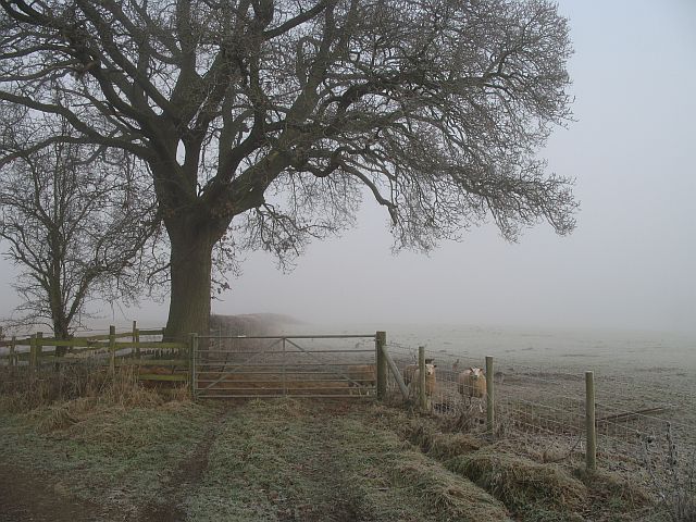
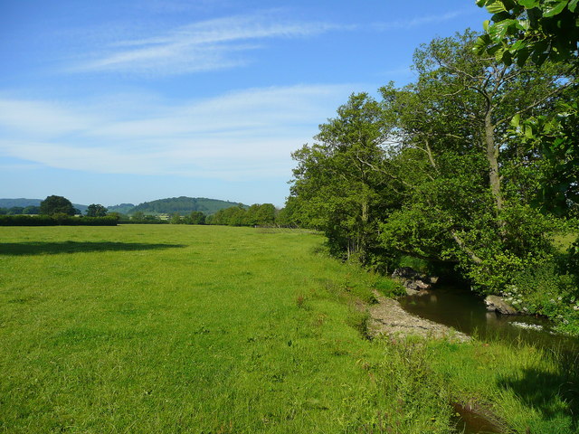
Adley Moor is a picturesque rural village located in the county of Herefordshire, England. Situated amidst stunning rolling hills and lush green fields, this tranquil settlement offers a peaceful retreat for nature enthusiasts and those seeking a slower pace of life.

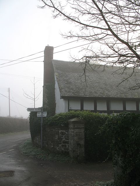
The village is characterized by its charming traditional stone cottages, which add to its quaint and idyllic atmosphere. Adley Moor is home to a close-knit community, with a population of around 300 residents. The locals are known for their warm hospitality and strong sense of community spirit, making it an inviting place for both visitors and new residents.

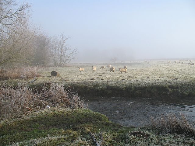
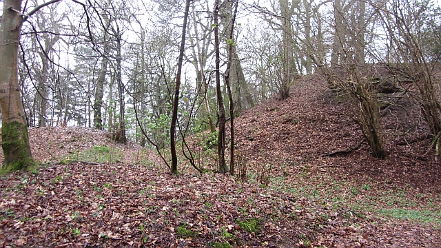
Nature lovers will find an abundance of natural beauty to explore in the surrounding countryside. Adley Moor is renowned for its breathtaking landscapes, offering opportunities for scenic walks and cycling routes. The nearby woodland areas provide a habitat for a variety of wildlife, making it a haven for birdwatchers and nature enthusiasts.

Although small in size, Adley Moor boasts a vibrant village center. Here, visitors can find a range of amenities, including a local pub, village shop, and a community center. The village also hosts a variety of events throughout the year, such as fairs and festivals, which bring the community together and attract visitors from neighboring areas.

Overall, Adley Moor in Herefordshire offers a serene and picturesque setting, ideal for those seeking a peaceful rural escape amidst stunning natural landscapes. With its welcoming community and range of amenities, this charming village is a hidden gem in the heart of the English countryside.

If you have any feedback on the listing, please let us know in the comments section below.
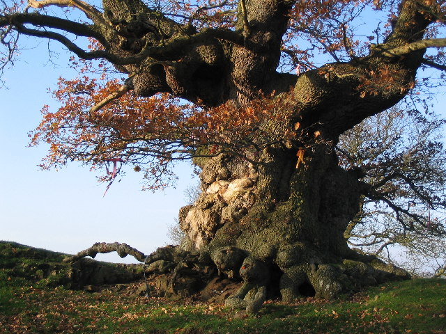
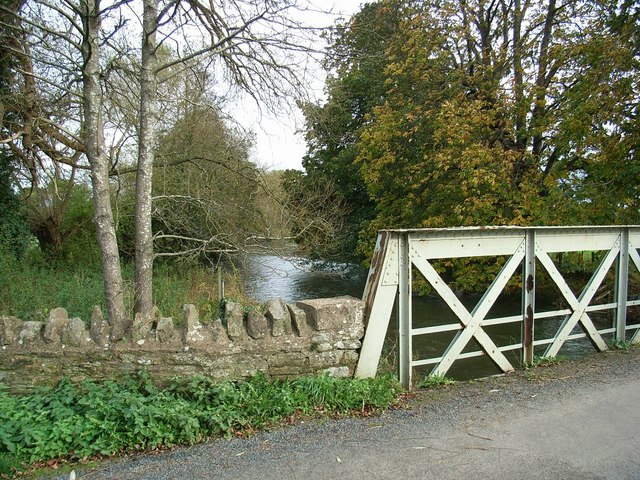
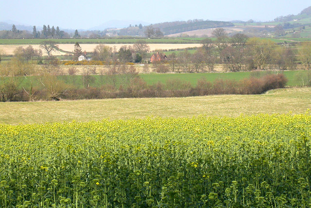
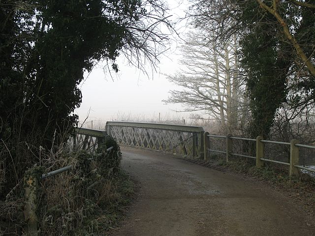
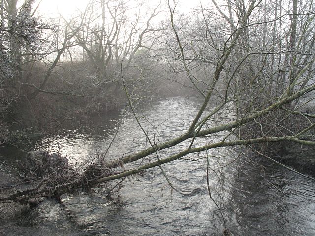
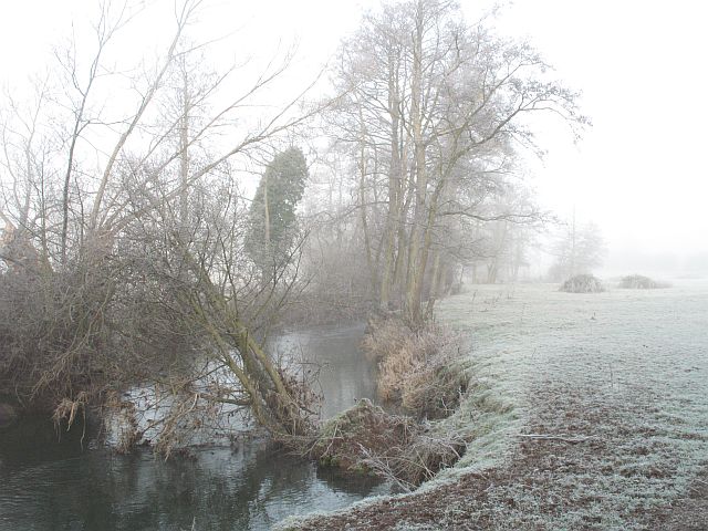
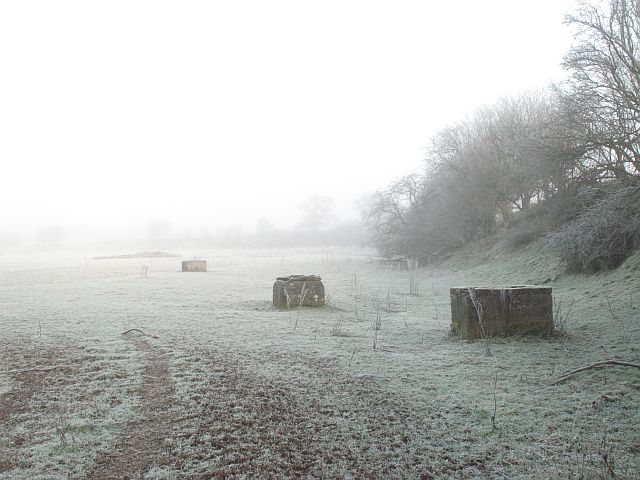
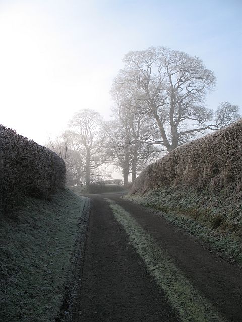
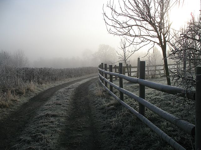
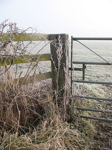
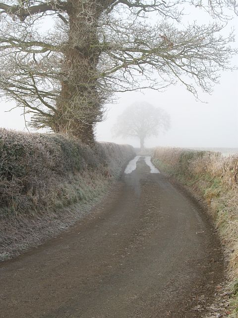
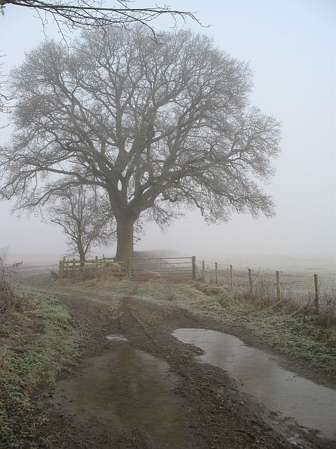
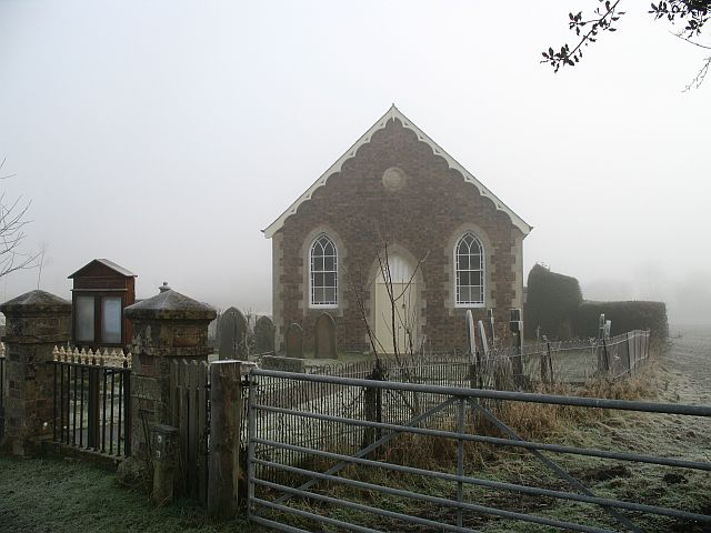
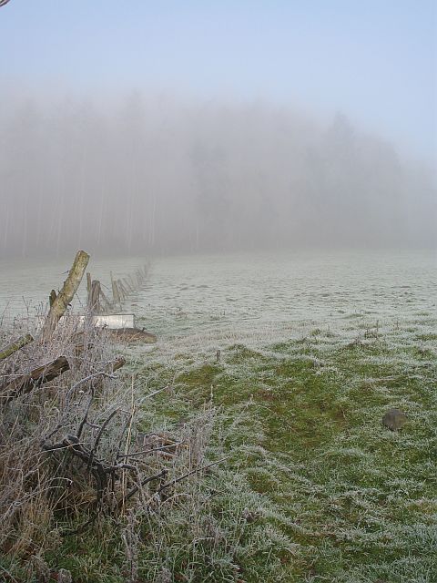
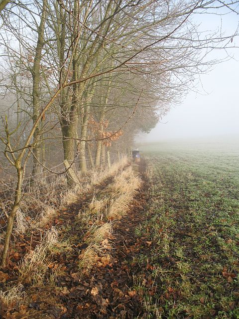
Adley Moor Images

Images are sourced within 2km of 52.365877/-2.9126496 or Grid Reference SO3774. Thanks to Geograph Open Source API. All images are credited.

Ancient Oak Tree, Fowlet Farm, Hollybush This tree is on the site of an old settlement.It is frequently decorated with many votive offerings.
Ancient Oak Tree, Fowlet Farm, Hollybush
This tree is on the site of an old settlement.It is frequently decorated with many votive offerings.
Buckton Bridge & River Teme
Overlooking Adleymoor Common One of the few remaining commons in Herefordshire, as seen from the South (The Post Field)
Overlooking Adleymoor Common
One of the few remaining commons in Herefordshire, as seen from the South (The Post Field)
Jay Bridge These bridges are very common in the north of Herefordshire. The biggest at Bucknell has been replaced, but smaller roads still cross the Clun (here) and Teme by green girders.
Jay Bridge
These bridges are very common in the north of Herefordshire. The biggest at Bucknell has been replaced, but smaller roads still cross the Clun (here) and Teme by green girders.
River Clun Looking downstream from Jay Bridge.
River Clun
Looking downstream from Jay Bridge.
River Clun The Clun, upstream of Jay Bridge.
River Clun
The Clun, upstream of Jay Bridge.
Field beside the Clun Brick towers of unknown origin beside the river.
Field beside the Clun
Brick towers of unknown origin beside the river.
Edge of the fog, Jay Taken right in the corner - sadly others taken further in were unsuccessful. Trees at Jay on a foggy day.

NB This was taken within SO3874 according to GPS readings - but the GPS was wrong according to aerials and large scale maps.
Edge of the fog, Jay
Taken right in the corner - sadly others taken further in were unsuccessful. Trees at Jay on a foggy day. NB This was taken within SO3874 according to GPS readings - but the GPS was wrong according to aerials and large scale maps.
Track, Jay Farm track taken from an exact corner of the square. The 1:25000 map suggests that a grid line runs down the middle of the track.
Track, Jay
Farm track taken from an exact corner of the square. The 1:25000 map suggests that a grid line runs down the middle of the track.
A frosted gate A frosty and foggy morning.
A frosted gate
A frosty and foggy morning.
Jay Lane Oaks beside what is very much a minor road. The obvious lines are strips of ice.
Jay Lane
Oaks beside what is very much a minor road. The obvious lines are strips of ice.
Farm track, Bedstone An access track to a couple of fields, with the usual oak in the hedge. Hungry sheep waiting on the right.
Farm track, Bedstone
An access track to a couple of fields, with the usual oak in the hedge. Hungry sheep waiting on the right.
Coxall Baptist Church Coxall is in Herefordshire, the church is in Shropshire - like Richard's Castle. A simple building set amongst grazing land.
Coxall Baptist Church
Coxall is in Herefordshire, the church is in Shropshire - like Richard's Castle. A simple building set amongst grazing land.
Below Coxall Knoll Grazing land with a galvanised drinking trough. The Coxall Knoll woods can just be seen through the fog.
Below Coxall Knoll
Grazing land with a galvanised drinking trough. The Coxall Knoll woods can just be seen through the fog.
Pheasant feeder, Buckton The oak wood has yet to make it to the maps, but it surrounds a pond which is shown at 1:25000.
Pheasant feeder, Buckton
The oak wood has yet to make it to the maps, but it surrounds a pond which is shown at 1:25000.
Sheep, Coxall Sheep grazing on flat land beside the River Redlake. The path in the foreground is a place where the sheep ford the river to get to the other side of the field.
Sheep, Coxall
Sheep grazing on flat land beside the River Redlake. The path in the foreground is a place where the sheep ford the river to get to the other side of the field.
Hungry sheep, Bedstone Midwinter, and the grazing is lean. Sheep await the hay delivery.
Hungry sheep, Bedstone
Midwinter, and the grazing is lean. Sheep await the hay delivery.
Bedstone Signpost in the centre of Bedstone
Bedstone
Signpost in the centre of Bedstone
Show me another place!

Adley Moor is located at Grid Ref: SO3774 (Lat: 52.365877, Lng: -2.9126496)

Unitary Authority: County of Herefordshire

Police Authority: West Merica

What 3 Words

///revisit.sprinting.army. Near Bucknell, Shropshire

Nearby Locations

Coxall Adley Moor

Related Wikis

Buckton and Coxall

Buckton and Coxall is a civil parish in north Herefordshire, England. Buckton and Coxall are hamlets in the parish. Coxall has a Baptist chapel situated...

Jay, Herefordshire

Jay is a hamlet in north Herefordshire, England. It lies in the civil parish of Leintwardine, on the other side of the River Clun 1 mile (1.6 km) northwest...

Bedstone

Bedstone is a small village and civil parish in south Shropshire, England, close to the border with Herefordshire. The village is approximately 1+1⁄2 miles...

Bedstone Court

Bedstone Court is an imposing 19th-century country house at Bedstone, Shropshire, England. It is occupied by Bedstone College, an independent educational...

Buckton Roman Fort

Buckton Roman Fort is an archaeological site at Buckton, about 1 mile south-west of Leintwardine, in Herefordshire. England. it is a scheduled monument...

Coxall Knoll

Coxall Knoll is a hill lying on the boundary of Shropshire and Herefordshire, England; it is near Bucknell in Shropshire and Buckton and Coxall in Herefordshire...

Heath, Herefordshire

Heath (or The Heath) is a dispersed hamlet in north Herefordshire, England. It lies in the civil parish of Leintwardine, on the other side of the River...

Brampton Bryan

Brampton Bryan is a small village and civil parish situated in north Herefordshire, England close to the Shropshire and Welsh borders. Brampton Bryan lies...

Nearby Amenities

Located within 500m of 52.365877,-2.9126496
Adley Moor
Place: locality
Lat/Long: 52.3663682/-2.9111132
The data included in this document is from www.openstreetmap.org. The data is made available under ODbL.

Have you been to Adley Moor?

Leave your review of Adley Moor below (or comments, questions and feedback).