Acton Gate
Settlement in Staffordshire South Staffordshire
England
Acton Gate
Acton Gate is a small village located in the county of Staffordshire, England. Situated approximately 3 miles southwest of Stafford, the village is known for its picturesque countryside and charming rural setting.
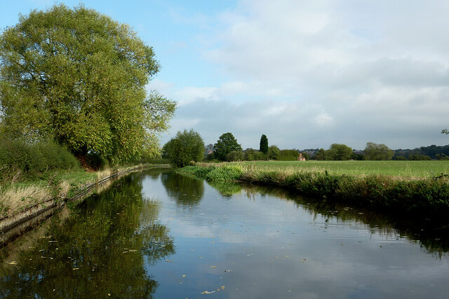
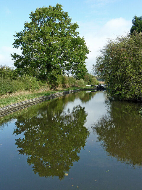
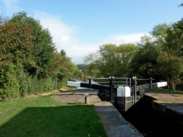
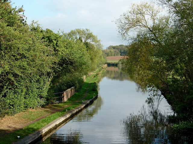
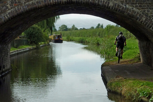
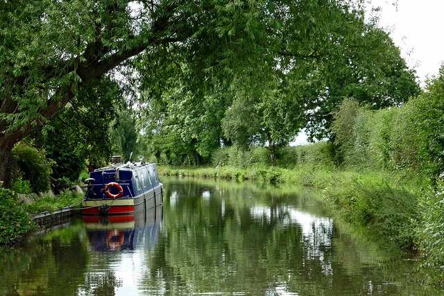
One of the notable features of Acton Gate is its close proximity to the Cannock Chase Area of Outstanding Natural Beauty. This allows residents and visitors to enjoy a wide range of outdoor activities, including walking, cycling, and horse riding. The village is also surrounded by beautiful woodland areas, providing ample opportunities for exploration and relaxation.
Despite its rural setting, Acton Gate benefits from being within easy reach of Stafford town center and its amenities. The town offers a variety of shops, supermarkets, schools, and healthcare facilities, ensuring that residents have access to all necessary services.
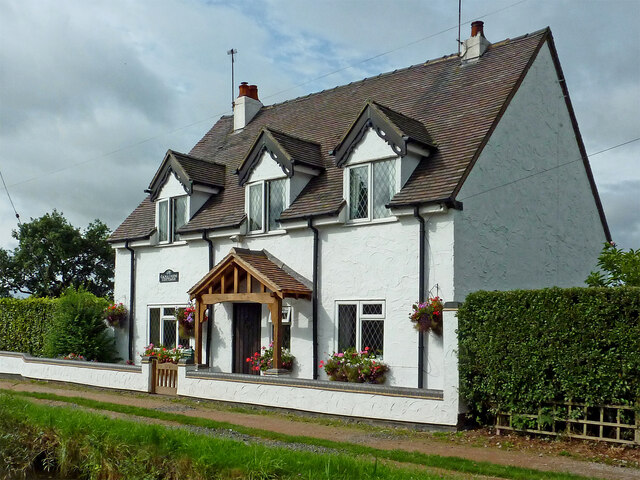
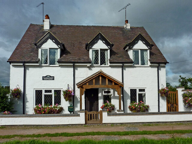
Housing in Acton Gate consists mainly of traditional stone cottages and modern houses, providing a mix of architectural styles. The village has a close-knit community, with a number of local events and clubs that bring residents together.
Transport links in Acton Gate are also favorable, with regular bus services connecting the village to surrounding towns and villages. The nearby M6 motorway provides easy access to cities such as Birmingham and Manchester, making Acton Gate an attractive location for commuters.
Overall, Acton Gate offers a peaceful and idyllic place to live, with its natural beauty and convenient amenities making it a desirable location within Staffordshire.
If you have any feedback on the listing, please let us know in the comments section below.
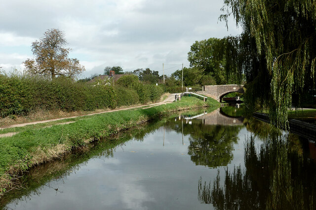
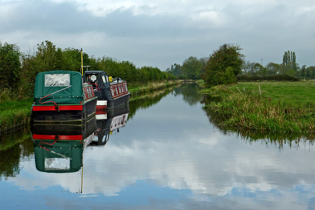
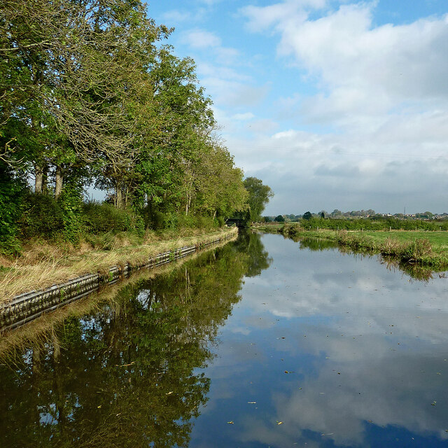
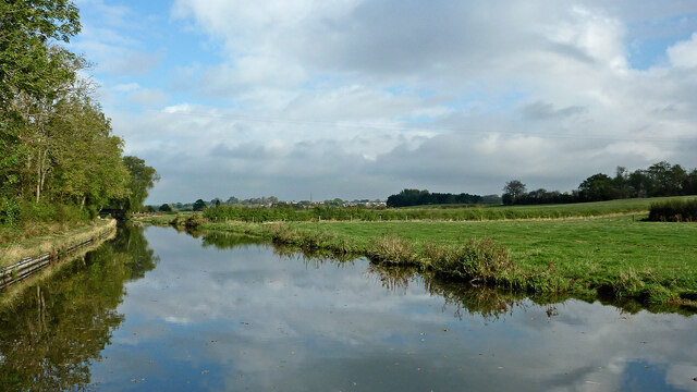
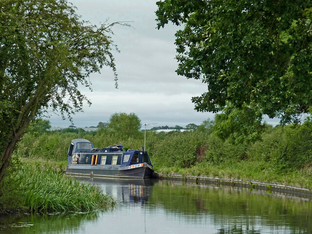
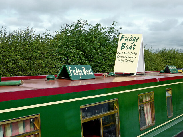
Acton Gate Images
Images are sourced within 2km of 52.770632/-2.1073872 or Grid Reference SJ9219. Thanks to Geograph Open Source API. All images are credited.


Acton Gate is located at Grid Ref: SJ9219 (Lat: 52.770632, Lng: -2.1073872)
Administrative County: Staffordshire
District: South Staffordshire
Police Authority: Staffordshire
What 3 Words
///gates.energy.lend. Near Stafford, Staffordshire
Nearby Locations
Related Wikis

Dunston, Staffordshire
Dunston is a small village in England lying on the west side of the A449 trunk road about 3 miles (4.8 km) south of Stafford, close to Junction 13 of the...

Acton Trussell
Acton Trussell is a village in the English county of Staffordshire. It is known as Actone in the Domesday Book. Located around 4 miles southeast of Stafford...

Radford Meadows
Radford Meadows is a nature reserve of the Staffordshire Wildlife Trust, on the southern edge of Stafford, in Staffordshire, England. The reserve is a...
1996 Stafford rail crash
The 1996 Stafford rail crash occurred on 8 March 1996 when a Transrail freight train travelling from Mossend, North Lanarkshire, to Willesden, North London...
Stafford Manor High School
Stafford Manor High School is a mixed secondary school and sixth form located in Stafford in the English county of Staffordshire.Previously known as Rising...

Hyde Lea
Hyde Lea is a village and parish in Staffordshire, England, just west of Stafford itself. Hyde Lea borders the southern boundary of Castle Church parish...
Stafford Grammar School
Stafford Grammar School is a mixed independent day school at Burton Manor, located on the outskirts of Stafford, the county town of Staffordshire. Founded...

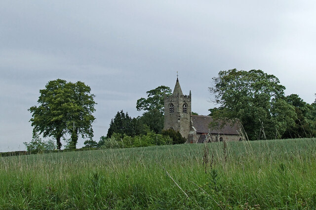
St Lawrence's Church, Coppenhall
St Lawrence's Church, Coppenhall is a Grade II* listed parish church in the Church of England in Coppenhall, Staffordshire. == History == The small ancient...
Nearby Amenities
Located within 500m of 52.770632,-2.1073872Have you been to Acton Gate?
Leave your review of Acton Gate below (or comments, questions and feedback).