Acton

Settlement in Kent Ashford

England

Acton

Parish Church, Wittersham, Kent One of the many churches around the Isle of Oxney and Romney Marsh.
Parish Church, Wittersham, Kent Credit: Ronald G Nash

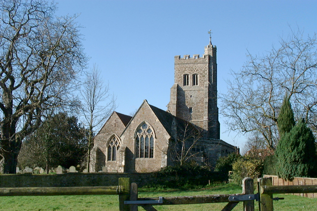
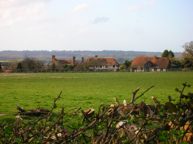
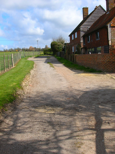
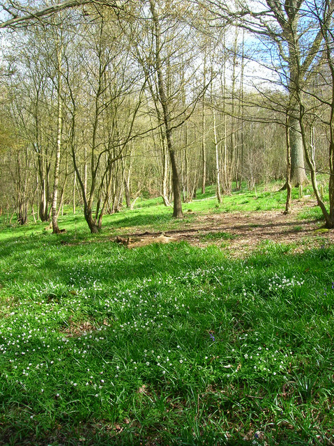
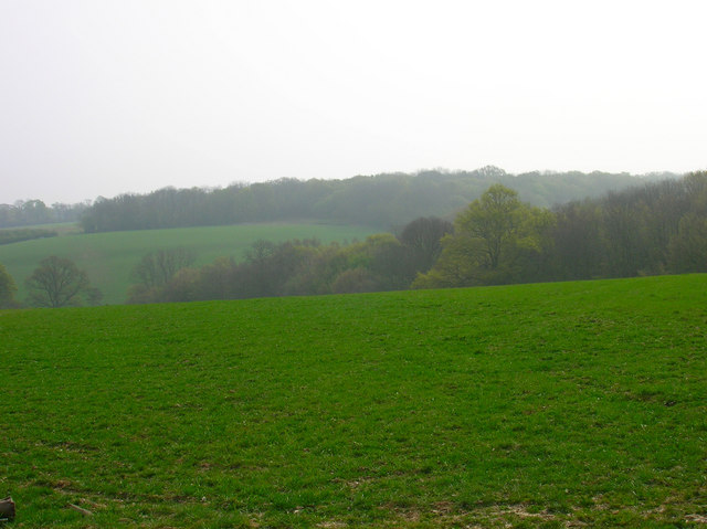
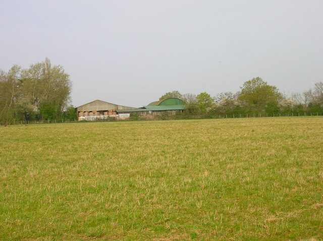
Acton is a small village located in the county of Kent, England. Situated in the southeastern part of the country, it lies approximately 6 miles southwest of the historic town of Canterbury. The village is nestled amidst picturesque countryside, characterized by rolling hills, lush green fields, and charming rural landscapes.

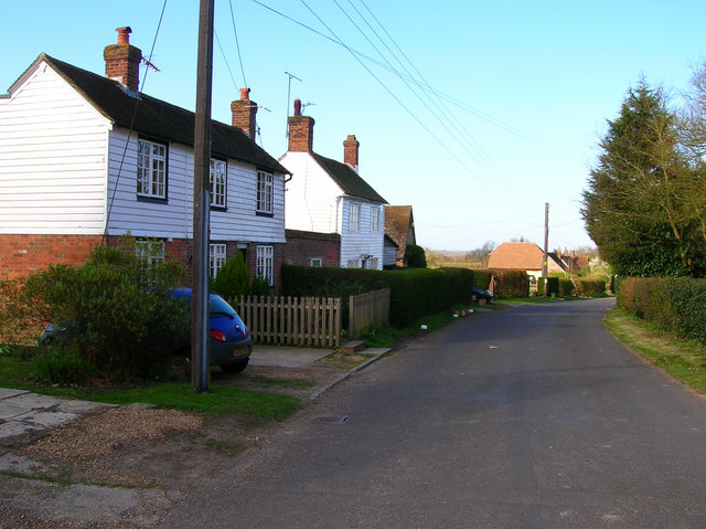
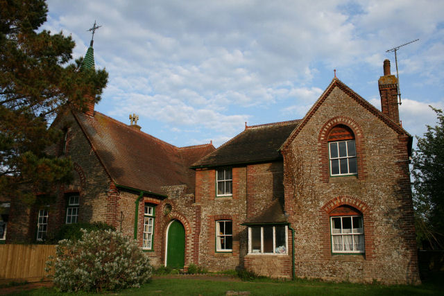
Acton is a close-knit community with a relatively small population, which gives the village a tranquil and peaceful atmosphere. The village is primarily residential, with a mix of traditional cottages and more modern houses. The architecture reflects the village's rich history, with some properties dating back several centuries.

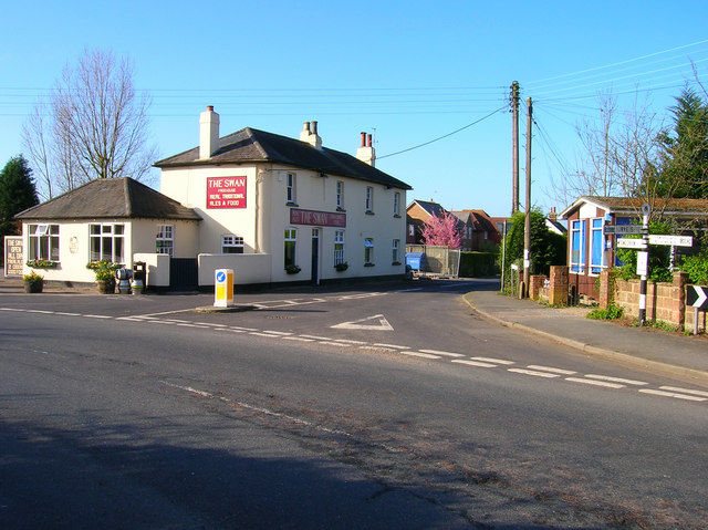
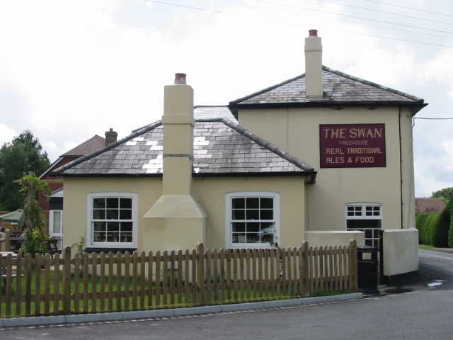
Despite its small size, Acton boasts a few amenities for its residents. The village has a local pub, providing a gathering place for locals and visitors alike. There is also a village hall, which hosts various community events and activities. Additionally, Acton benefits from being in close proximity to larger towns and cities, such as Canterbury, which offer a wider range of amenities including shops, schools, and healthcare facilities.

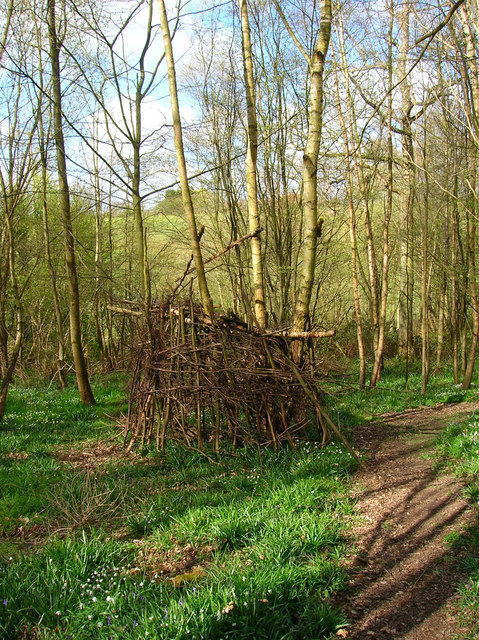
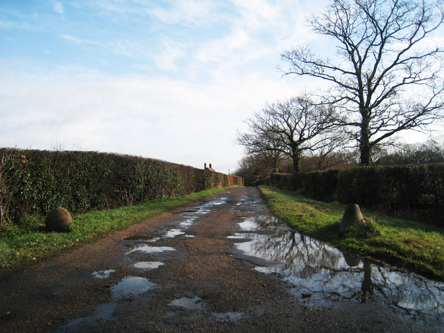
The surrounding countryside offers ample opportunities for outdoor activities such as hiking, cycling, and horse riding. Acton is also within easy reach of several nature reserves and parks, allowing residents to enjoy the beauty of the natural surroundings.

Overall, Acton is a charming and peaceful village that offers a quiet and idyllic lifestyle for its residents, while still benefiting from its proximity to larger towns and cities.

If you have any feedback on the listing, please let us know in the comments section below.
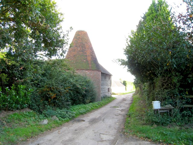
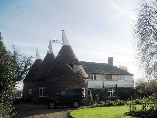
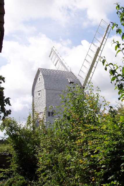
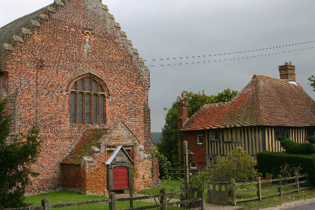
Acton Images

Images are sourced within 2km of 51.017857/0.71718837 or Grid Reference TQ9027. Thanks to Geograph Open Source API. All images are credited.

Parish Church, Wittersham, Kent One of the many churches around the Isle of Oxney and Romney Marsh.
Parish Church, Wittersham, Kent
One of the many churches around the Isle of Oxney and Romney Marsh.
The Swan On the junction of Poplar Road (B2082) and Swan Street. Wittersham is the chief village of the Isle of Oxney.
The Swan
On the junction of Poplar Road (B2082) and Swan Street. Wittersham is the chief village of the Isle of Oxney.
Swan Street Weatherboarded cottages along Swan Street. The street connects Wittersham to Moon's Green and Potman's Heath.
Swan Street
Weatherboarded cottages along Swan Street. The street connects Wittersham to Moon's Green and Potman's Heath.
Wittersham Manor Sixteenth Century manor building a mile out of the village. About as near as you can get to the front view without trespassing.
Wittersham Manor
Sixteenth Century manor building a mile out of the village. About as near as you can get to the front view without trespassing.
Ham Green Cottages Wittersham church tower can be seen beyond the stile in the background.
Ham Green Cottages
Wittersham church tower can be seen beyond the stile in the background.
College Wood The manor of Wittersham was once owned by the Master and Fellows of All Saints College, Maidstone which probably accounts for the name of the wood.
College Wood
The manor of Wittersham was once owned by the Master and Fellows of All Saints College, Maidstone which probably accounts for the name of the wood.
College Wood Would be very interested to know what is happening here. On the footpath through College Wood.
College Wood
Would be very interested to know what is happening here. On the footpath through College Wood.
Comb Wood and Timber Wood Comb Wood is in the foreground going into the dip, Timber Wood is on the ridge beyond. The image also highlights the very hazy day which made long distance visibility very poor.
Comb Wood and Timber Wood
Comb Wood is in the foreground going into the dip, Timber Wood is on the ridge beyond. The image also highlights the very hazy day which made long distance visibility very poor.
Barn, Black Barn Farm Taken from the High Weald Landscape Trail.
Barn, Black Barn Farm
Taken from the High Weald Landscape Trail.
Wittersham Primary School (left) and the old Doctor's Surgery (right) The wording above the green arched door says 'Girls'.
Wittersham Primary School (left) and the old Doctor's Surgery (right)
The wording above the green arched door says 'Girls'.
Wittersham Church
Wittersham Church
Wittersham Church - window over the altar
Oast House Single round kiln oast house, missing cowl.
Oast House
Single round kiln oast house, missing cowl.
The Oast House, The Street, Wittersham, Kent Triple round kiln oast house.
The Oast House, The Street, Wittersham, Kent
Triple round kiln oast house.
Oast House Triple round kiln oast house.
Oast House
Triple round kiln oast house.
The Swan, on the junction of Swan Street and Stocks Road
Track to Kingsgate House
Path to and from Witersham parish church, Kent
Show me another place!

Acton is located at Grid Ref: TQ9027 (Lat: 51.017857, Lng: 0.71718837)

Administrative County: Kent

District: Ashford

Police Authority: Kent

What 3 Words

///exacted.regarding.boating. Near Stone, Kent

Nearby Locations

Acton Church Wood

Related Wikis

Related Videos

Chapel Down Vineyard

Chapel Down Vineyard.

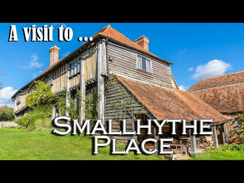
A visit to Ellen Terry's Smallhythe Place (A National Trust Property)

We'll take a look at the many layers of the history of Smallhythe place. From the 16th-century Tudor building, to the home of one of ...

The bells of St. John The Baptist, Wittersham, Kent

Part of a peal of Rutland Surprise Major.

Chapel Down Vineyard and Winery. Винный двор в графстве Кент.

Винный двор Chapel down находится к югу от Лондона в графстве Кент. Выращивать виноград в Англии стали благодаря ...

Nearby Amenities

Located within 500m of 51.017857,0.71718837
Power: pole
Lat/Long: 51.0158234/0.723094
Power: pole
Lat/Long: 51.0149966/0.7214284
Power: pole
Lat/Long: 51.0142153/0.7198164
Power: pole
Lat/Long: 51.0136264/0.7186282
Acton Farm Airstrip
Aeroway: airstrip
Lat/Long: 51.0207897/0.720156
The data included in this document is from www.openstreetmap.org. The data is made available under ODbL.

Have you been to Acton?

Leave your review of Acton below (or comments, questions and feedback).