Achnahuaigh
Settlement in Sutherland
Scotland
Achnahuaigh
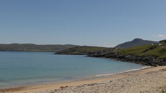
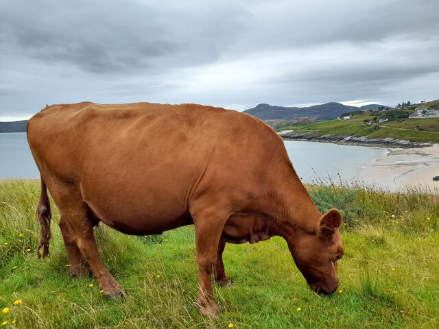
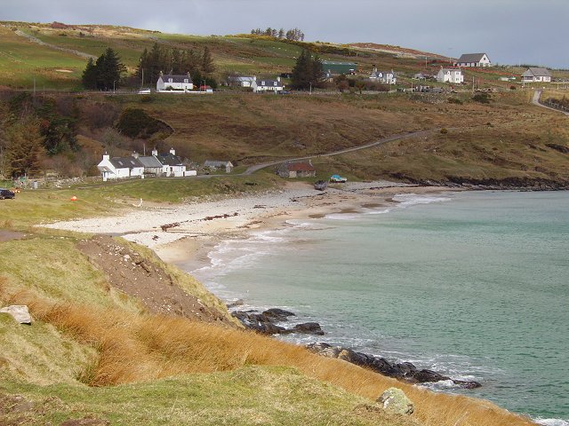
Achnahuaigh is a small village located in the county of Sutherland, in the northernmost part of Scotland. It is situated amidst the rugged and picturesque landscape of the Scottish Highlands. The village is nestled between the towering peaks of the Ben Hope and Ben Loyal mountains, offering breathtaking views to its residents and visitors alike.
Achnahuaigh is a remote and sparsely populated village, with a population of approximately 200 inhabitants. The village is known for its tranquility and unspoiled natural beauty. It is an ideal destination for outdoor enthusiasts, offering a range of activities such as hiking, mountaineering, and fishing.
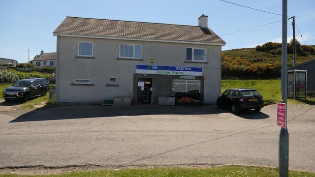
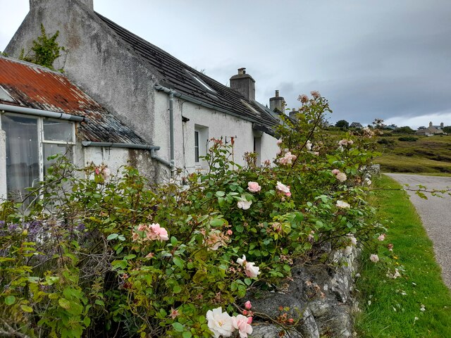
The village itself consists of a small cluster of traditional stone houses, giving it a charming and rustic ambiance. There is a local pub, serving as a gathering place for the community, where locals and visitors can enjoy a pint of ale and engage in friendly conversations.
Achnahuaigh is also home to a small primary school, providing education to the village's children. However, due to its remote location, secondary education requires commuting to nearby towns.
Despite its seclusion, Achnahuaigh is not entirely isolated. The village is connected to neighboring towns and cities by a network of country roads, although they can be challenging to navigate during the winter months.
Overall, Achnahuaigh offers a peaceful retreat for those seeking solace in the beauty of the Scottish Highlands, with its stunning landscapes and a strong sense of community.
If you have any feedback on the listing, please let us know in the comments section below.
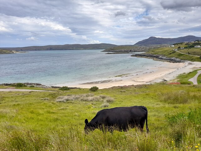
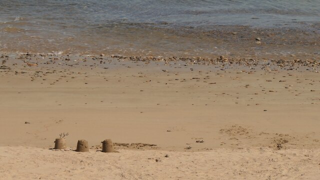
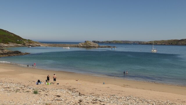
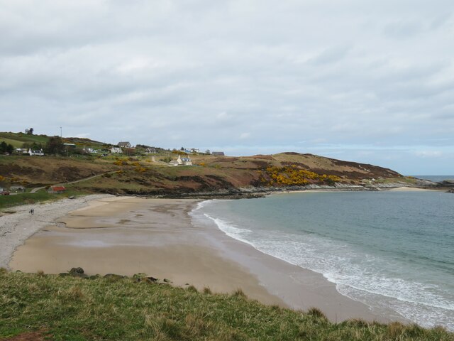
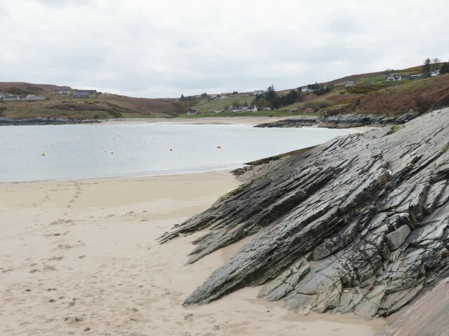
Achnahuaigh Images
Images are sourced within 2km of 58.542549/-4.4413648 or Grid Reference NC5764. Thanks to Geograph Open Source API. All images are credited.
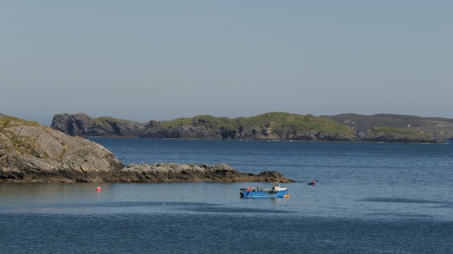
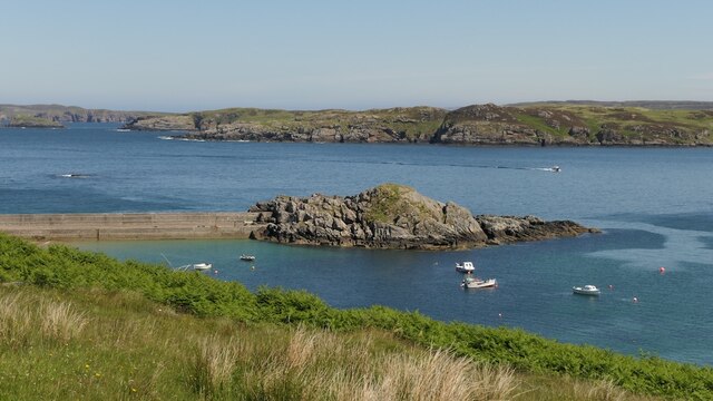


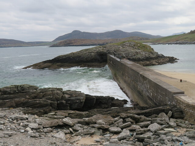
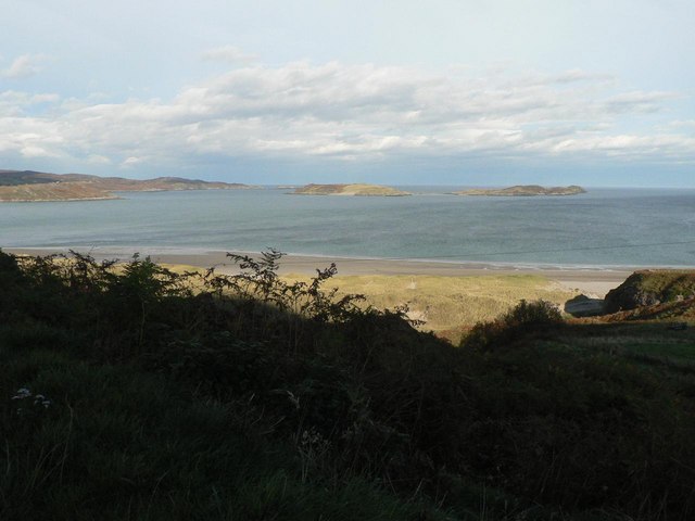
![Talmine Pier and two islands The pier connects the mainland to the tiny Eilean Creagach [Rocky Island], whilst further out is one of the two Rabbit Islands, so named as they were populated with rabbits by the chief of the Mackay clan in the 18th century as a supply of meat for the table.](https://s3.geograph.org.uk/geophotos/07/48/63/7486367_a3cb2cfa.jpg)
Achnahuaigh is located at Grid Ref: NC5764 (Lat: 58.542549, Lng: -4.4413648)
Unitary Authority: Highland
Police Authority: Highlands and Islands
What 3 Words
///bunch.parkway.motivates. Near Altnaharra, Highland
Nearby Locations
Related Wikis

Achnahuaigh
Achnahuaigh or Achinahuaigh (Scottish Gaelic: Achadh na h-Uamha) is a crofting hamlet and neighbourhood in the Melness area of Sutherland in the Highland...

Melness
Melness (Gaelic: Taobh Mhealanais) is a locality, comprising a group of small remote crofting townships, lying to the west of Tongue Bay opposite Coldbackie...
Midfield, Highland
Midfield is a remote hamlet on the north coast of Scotland in Sutherland in the Highland Council Area. It is a mile south of Tormade Point and just over...
Talmine, Sutherland
Talmine is a crofting and fishing township, overlooking Talmine Bay, an inlet on the western shore of Tongue Bay in northern Sutherland, Scottish Highlands...
Tongue Bay
Tongue Bay (Scottish Gaelic: Tunga from Old Norse: Tunga) is located in northwest Highland, Scotland, in the western part of the former county of Sutherland...

Skullomie
Scullomie is a small fishing and crofting township at the head of Tongue Bay in Sutherland in the Scottish Highlands. It is located around 3 miles (4...

Coldbackie
Coldbackie (Scottish Gaelic: Callbacaidh) is a crofting township in Sutherland and is in the Scottish council area of Highland Scotland. == Geography... ==
Sutherland spaceport
The Sutherland spaceport, also known as Space Hub Sutherland or UKVL Sutherland, is a planned spaceport in the United Kingdom. It would be the first vertical...
Nearby Amenities
Located within 500m of 58.542549,-4.4413648Have you been to Achnahuaigh?
Leave your review of Achnahuaigh below (or comments, questions and feedback).