Achnagoul
Settlement in Argyllshire
Scotland
Achnagoul

Achnagoul is a small village located in Argyllshire, Scotland. Situated on the western coast of the country, it is nestled in the picturesque Lochaber region. The village is surrounded by stunning natural beauty, with rolling hills, lush greenery, and breathtaking views of the nearby Loch Linnhe.
Achnagoul is a peaceful and close-knit community, with a population of approximately 200 residents. The village primarily consists of traditional stone cottages, giving it a charming and quaint atmosphere. The local economy is primarily centered around agriculture, with many residents involved in farming and livestock rearing.
One of the notable features of Achnagoul is its proximity to several notable landmarks and attractions. The village is just a short distance away from the famous Glencoe, known for its dramatic landscapes and historic significance. Additionally, the nearby Ben Nevis, the highest mountain in the British Isles, offers opportunities for hiking and mountaineering enthusiasts.
While Achnagoul is a small village, it has a strong sense of community and offers essential amenities for its residents. These include a primary school, a village hall, and a local shop providing basic necessities. The village also benefits from regular bus services, connecting it to nearby towns and cities.
Overall, Achnagoul is a tranquil and idyllic village that appeals to those seeking a peaceful lifestyle amidst stunning natural surroundings. Its close proximity to famous landmarks and its strong sense of community make it an attractive place to live or visit in Argyllshire.
If you have any feedback on the listing, please let us know in the comments section below.
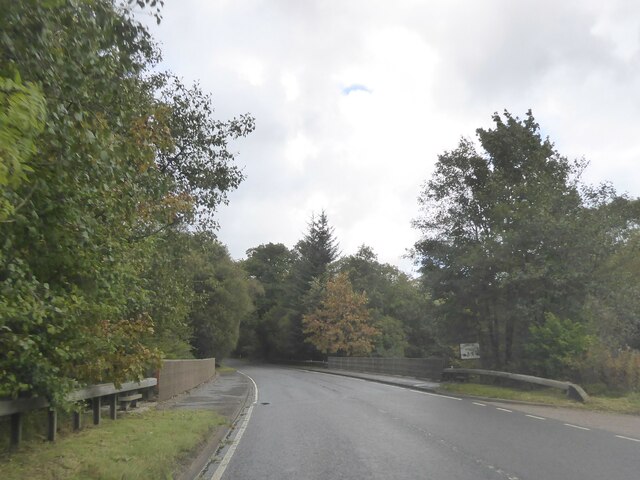
Achnagoul Images
Images are sourced within 2km of 56.201783/-5.1301235 or Grid Reference NN0505. Thanks to Geograph Open Source API. All images are credited.


Achnagoul is located at Grid Ref: NN0505 (Lat: 56.201783, Lng: -5.1301235)
Unitary Authority: Argyll and Bute
Police Authority: Argyll and West Dunbartonshire
What 3 Words
///fuses.frocks.groom. Near Inveraray, Argyll & Bute
Nearby Locations
Related Wikis

Combined Operations Training Centre
The Combined Operations Training Centre, also known as No.1 Combined Training Centre, Inveraray was a military installation on the banks of Loch Fyne near...

Douglas Water, Loch Fyne
The Douglas Water (Scottish Gaelic: Dùghlas) is a river in Argyll in the southwest Scottish Highlands. It emerges from the northeastern end of the diminutive...

Auchindrain
Auchindrain (Scottish Gaelic: Achadh an Droighinn: 'thorn field') lies on the A83, 6 miles (10 km) south of Inveraray in Argyll and Bute, Scotland. It...

Loch Fyne
Loch Fyne (Scottish Gaelic: Loch Fìne, pronounced [l̪ˠɔx ˈfiːnə]; meaning "Loch of the Vine/Wine"), is a sea loch off the Firth of Clyde and forms part...
Related Videos

Scuba diving Kenmore point, Loch Fyne, Scotland
A underwater narrated scuba dive round Kenmore point, Loch Fyne. Narrated using an OTS Guardian full face mask to record the ...
Nearby Amenities
Located within 500m of 56.201783,-5.1301235Have you been to Achnagoul?
Leave your review of Achnagoul below (or comments, questions and feedback).