Aber-Tafol
Settlement in Merionethshire
Wales
Aber-Tafol
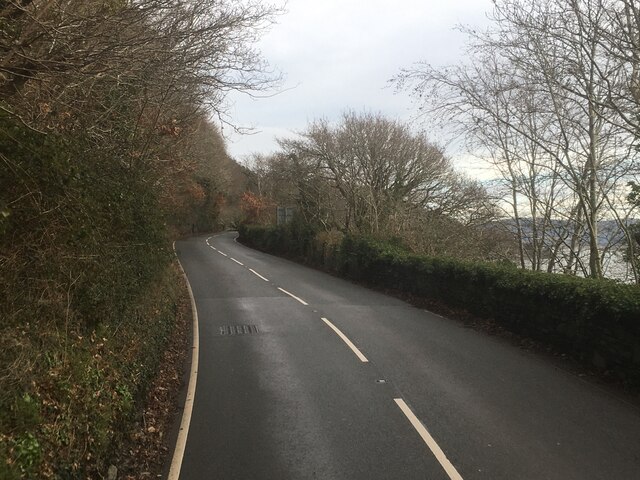
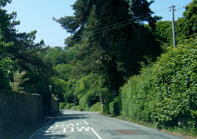
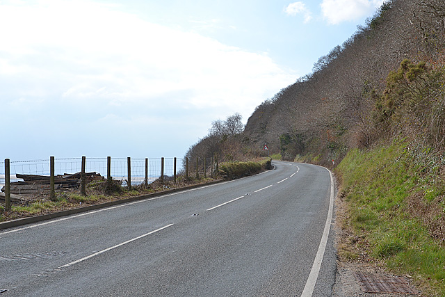
Aber-Tafol is a small village located in the county of Merionethshire, Wales. It is situated in the beautiful Snowdonia National Park, amidst the picturesque landscapes of the Tafol Valley. The village is nestled between the towns of Dolgellau and Barmouth, and is easily accessible by road via the A496.
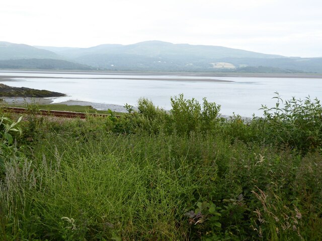
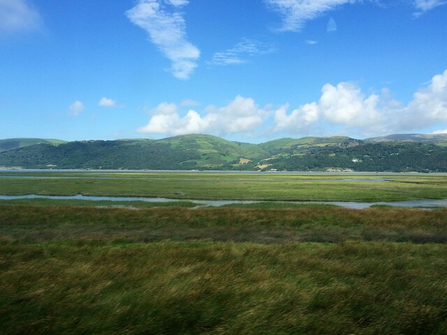
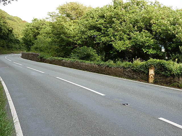
Aber-Tafol is known for its stunning natural beauty, with rolling hills, lush greenery, and the nearby River Tafol flowing through the valley. The village is surrounded by breathtaking views of the Snowdonia mountains, making it a popular destination for hikers, nature enthusiasts, and those seeking tranquility.
The community of Aber-Tafol is small, with a close-knit population that takes pride in its Welsh heritage. The village has a charming atmosphere, with traditional stone cottages and a quaint village square. The local economy is primarily centered around agriculture and tourism, with some residents also working in neighboring towns.
One of the highlights of Aber-Tafol is the historic St. Carantoc's Church, which dates back to the 12th century. The church is a fine example of Welsh ecclesiastical architecture and attracts visitors interested in its historical and architectural significance.
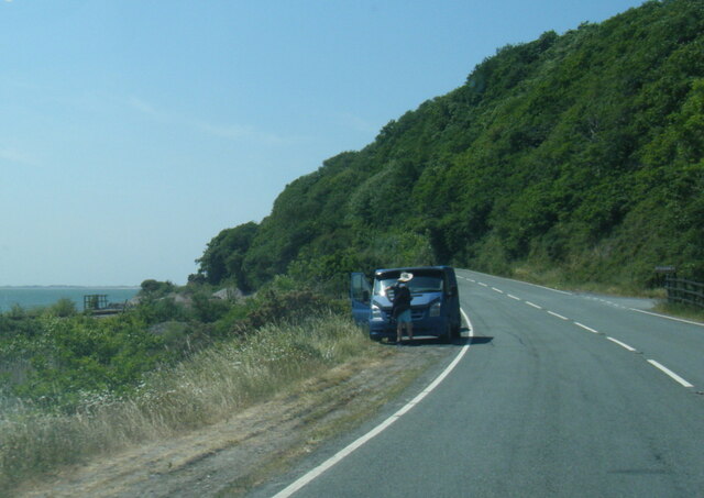
For outdoor enthusiasts, Aber-Tafol offers numerous opportunities for activities such as hiking, cycling, fishing, and birdwatching. The surrounding area is home to an abundance of wildlife, including rare bird species and wildflowers.
In summary, Aber-Tafol is a charming village situated in the heart of the Snowdonia National Park. With its natural beauty and welcoming community, it is a popular destination for those seeking a peaceful retreat in the stunning Welsh countryside.
If you have any feedback on the listing, please let us know in the comments section below.
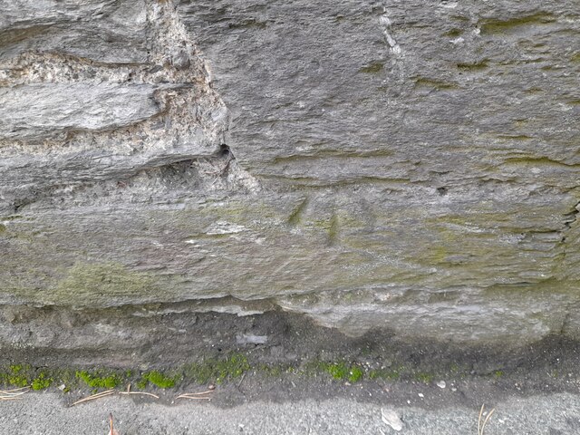
Aber-Tafol Images
Images are sourced within 2km of 52.553567/-3.9940132 or Grid Reference SN6496. Thanks to Geograph Open Source API. All images are credited.

Aber-Tafol is located at Grid Ref: SN6496 (Lat: 52.553567, Lng: -3.9940132)
Unitary Authority: Gwynedd
Police Authority: North Wales
What 3 Words
///advancing.wanting.rejoined. Near Tywyn, Gwynedd
Nearby Locations
Related Wikis

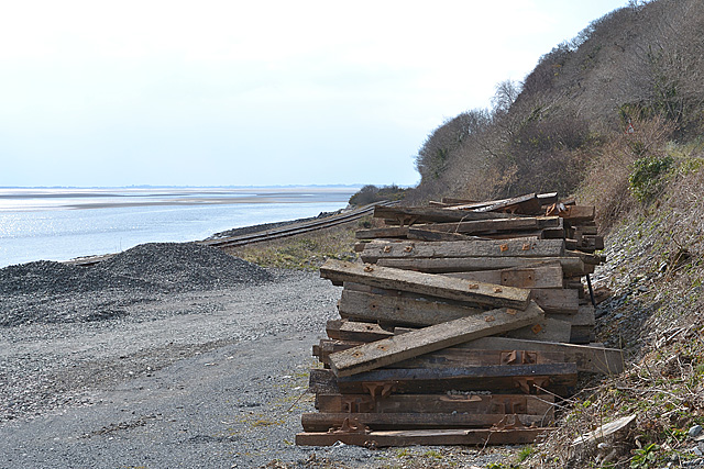
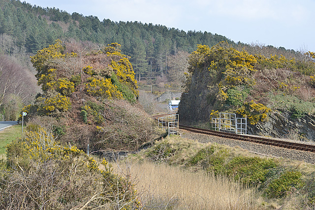
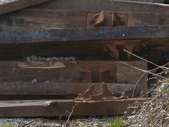
Abertafol railway station
Abertafol railway station was a halt located on the north shore of the Dyfi estuary in the old Welsh county of Merionethshire (south Gwynedd). == History... ==
Frongoch quarry, Aberdyfi
Frongoch slate quarry (also known as Fron-goch slate quarry or Fron-gôch slate quarry) was a slate quarry and mine in Mid Wales, approximately halfway...

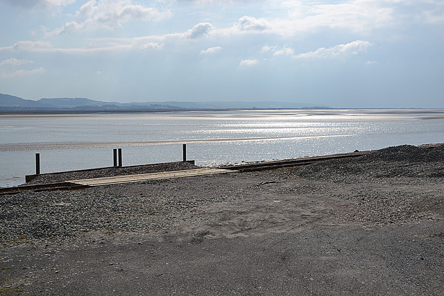
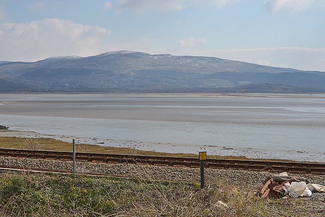
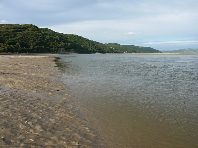
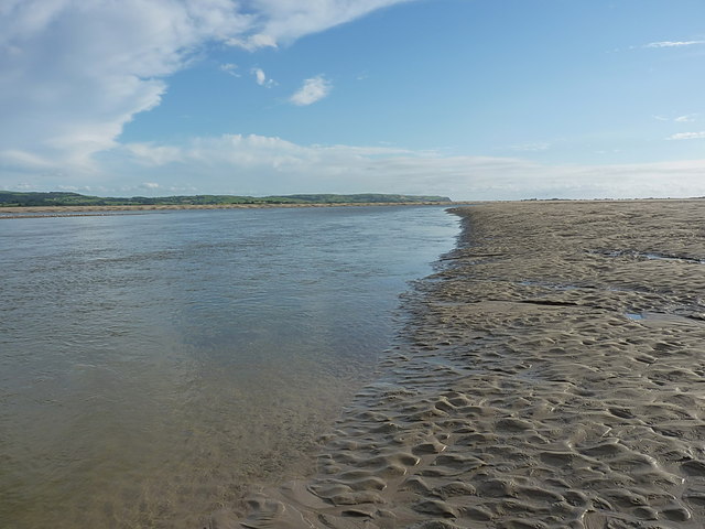
Dyfi Estuary Mudflats
Dyfi Estuary Mudflats are mudflats on the estuary of the River Dyfi in Ceredigion, Wales, and are part of the Dyfi National Nature Reserve. == Ecology... ==

Hen Dyffryn Gwyn
Hen Dyffryn Gwyn is a Grade II* listed building in Tywyn, Gwynedd. The house has been dated to 1640 and is listed for being a well-preserved example of...

Gogarth railway station
Gogarth railway station served a sparsely populated area on the north shore of the Dyfi estuary in the Welsh county of Merionethshire. == History == Opened...

Penhelig railway station
Penhelig railway station (Welsh: Penhelyg) serves the eastern outskirts of the seaside resort of Aberdyfi in Gwynedd, Wales. It was opened by the Great...

Ynys-hir RSPB reserve
Ynys-hir RSPB reserve is a nature reserve of the RSPB situated beside the Dyfi estuary in Ceredigion, mid Wales between Aberystwyth and Machynlleth. The...

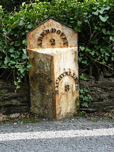
Aberdyfi
Aberdyfi (Welsh pronunciation: [abɛrˈdəvi]), also known as Aberdovey ( a-bər-DUH-vee), is a village and community in Gwynedd, Wales, located on the northern...
Nearby Amenities
Located within 500m of 52.553567,-3.9940132Have you been to Aber-Tafol?
Leave your review of Aber-Tafol below (or comments, questions and feedback).