Coed y Gofer
Wood, Forest in Merionethshire
Wales
Coed y Gofer
Coed y Gofer, located in Merionethshire, is a picturesque woodland area renowned for its natural beauty and rich biodiversity. Situated in North Wales, it covers an expansive area, making it a popular destination for nature enthusiasts, hikers, and wildlife observers.
The woodland is abundant with diverse tree species, including oak, beech, and birch, creating a dense and enchanting forest atmosphere. The lush undergrowth is home to a variety of plant life, such as bluebells, wild garlic, and ferns, adding to the area's charm and biological significance.
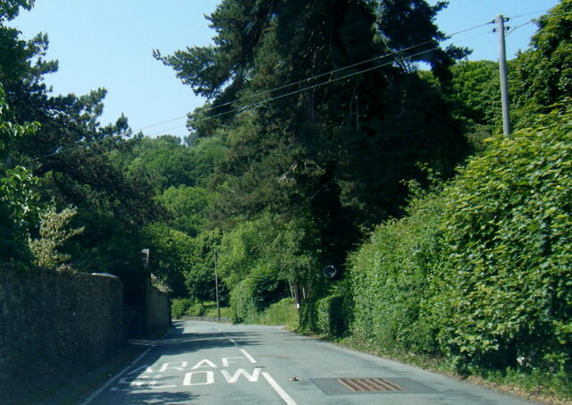
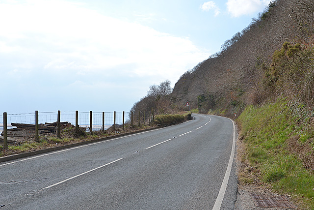
Coed y Gofer offers a network of well-maintained trails and paths, allowing visitors to explore the woodlands at their own pace. The trails range in difficulty and length, catering to both casual walkers and serious hikers. Along these paths, one can discover hidden waterfalls, tranquil streams, and breathtaking viewpoints that offer stunning vistas of the surrounding countryside.
The forest is also a haven for wildlife, providing a protected habitat for various animal species. Roe deer, badgers, and foxes are often spotted roaming the woodland, while birdwatchers can catch glimpses of buzzards, woodpeckers, and owls among the treetops.
Coed y Gofer, with its unspoiled natural beauty and abundant wildlife, offers a serene escape from the hustle and bustle of everyday life. It is a place where visitors can immerse themselves in the wonders of nature, appreciating the tranquility and serenity that can only be found within a captivating woodland setting.
If you have any feedback on the listing, please let us know in the comments section below.
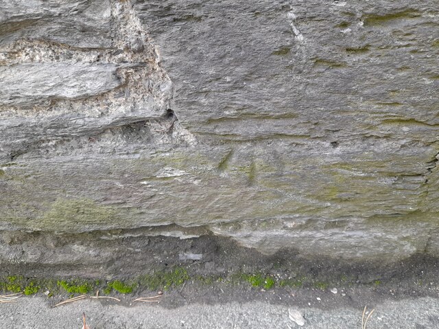
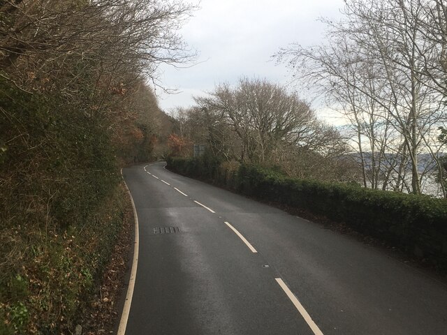
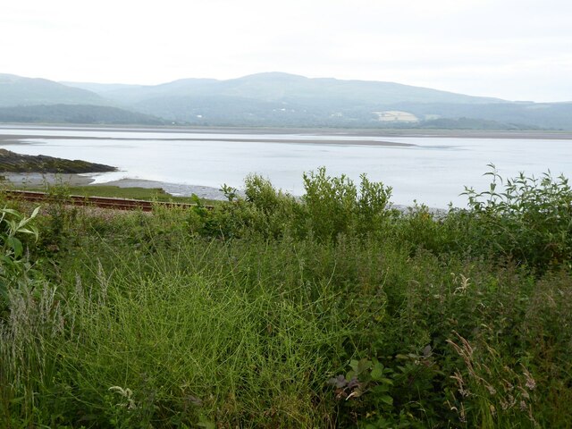
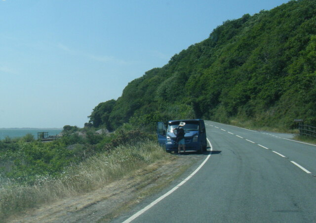
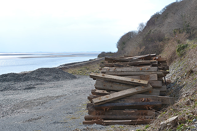
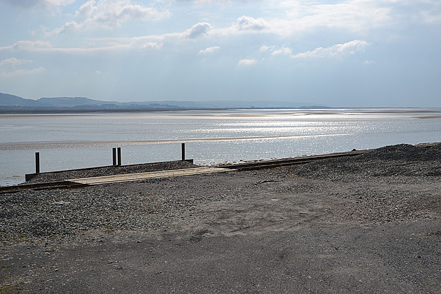
Coed y Gofer Images
Images are sourced within 2km of 52.551046/-4.0059055 or Grid Reference SN6496. Thanks to Geograph Open Source API. All images are credited.


Coed y Gofer is located at Grid Ref: SN6496 (Lat: 52.551046, Lng: -4.0059055)
Unitary Authority: Gwynedd
Police Authority: North Wales
What 3 Words
///food.publisher.sharp. Near Tywyn, Gwynedd
Nearby Locations
Related Wikis

Abertafol railway station
Abertafol railway station was a halt located on the north shore of the Dyfi estuary in the old Welsh county of Merionethshire (south Gwynedd). == History... ==

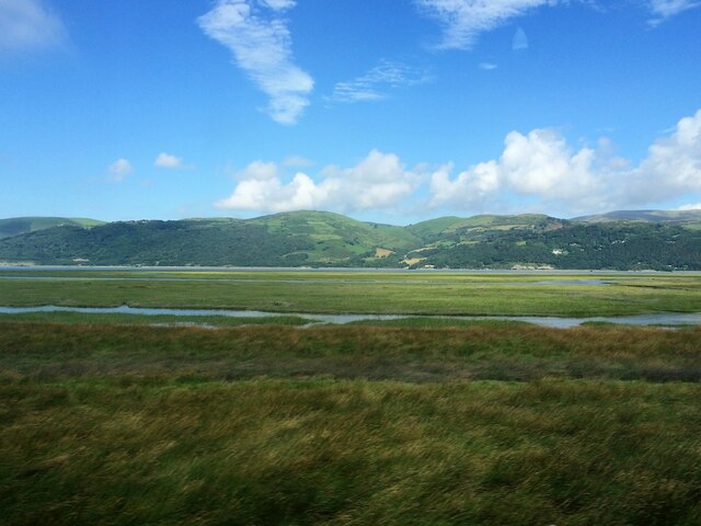
Dyfi Estuary Mudflats
Dyfi Estuary Mudflats are mudflats on the estuary of the River Dyfi in Ceredigion, Wales, and are part of the Dyfi National Nature Reserve. == Ecology... ==

Hen Dyffryn Gwyn
Hen Dyffryn Gwyn is a Grade II* listed building in Tywyn, Gwynedd. The house has been dated to 1640 and is listed for being a well-preserved example of...

Penhelig railway station
Penhelig railway station (Welsh: Penhelyg) serves the eastern outskirts of the seaside resort of Aberdyfi in Gwynedd, Wales. It was opened by the Great...
Frongoch quarry, Aberdyfi
Frongoch slate quarry (also known as Fron-goch slate quarry or Fron-gôch slate quarry) was a slate quarry and mine in Mid Wales, approximately halfway...

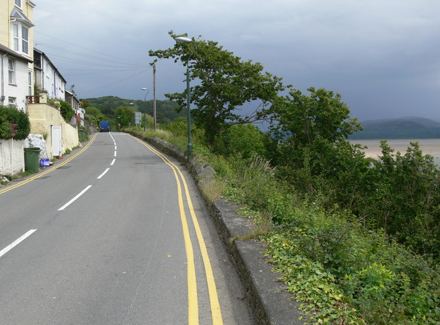
Aberdyfi
Aberdyfi (Welsh pronunciation: [abɛrˈdəvi]), also known as Aberdovey ( a-bər-DUH-vee), is a village and community in Gwynedd, Wales, located on the northern...

Aberdovey Lifeboat Station
Aberdovey Lifeboat Station (Welsh: Gorsaf Bad Achub Aberdyfi) is an RNLI lifeboat station in the coastal village of Aberdyfi, Gwynedd, West Wales, on the...

Gogarth railway station
Gogarth railway station served a sparsely populated area on the north shore of the Dyfi estuary in the Welsh county of Merionethshire. == History == Opened...
Nearby Amenities
Located within 500m of 52.551046,-4.0059055Have you been to Coed y Gofer?
Leave your review of Coed y Gofer below (or comments, questions and feedback).