Abingdon
Settlement in Berkshire Vale of White Horse
England
Abingdon
Abingdon, Berkshire is a historic market town located in the county of Berkshire, in southern England. Situated along the River Thames, it is about 6 miles south of the city of Oxford. The town has a population of approximately 39,000 residents.
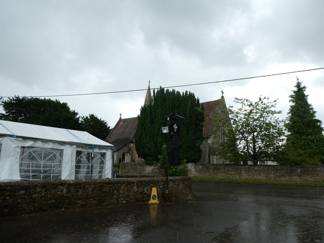
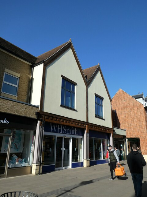
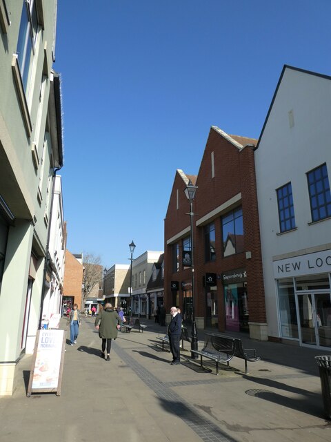
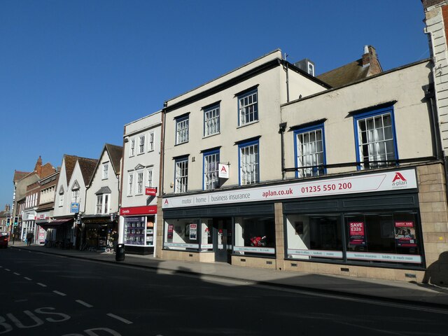
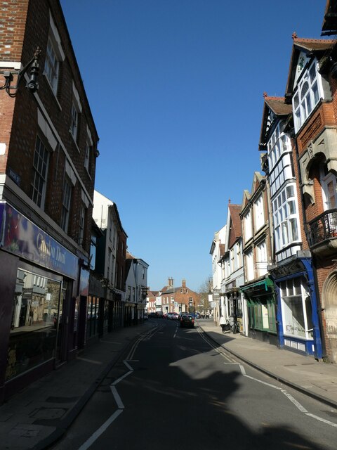
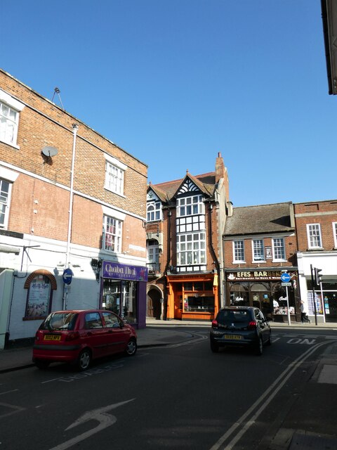
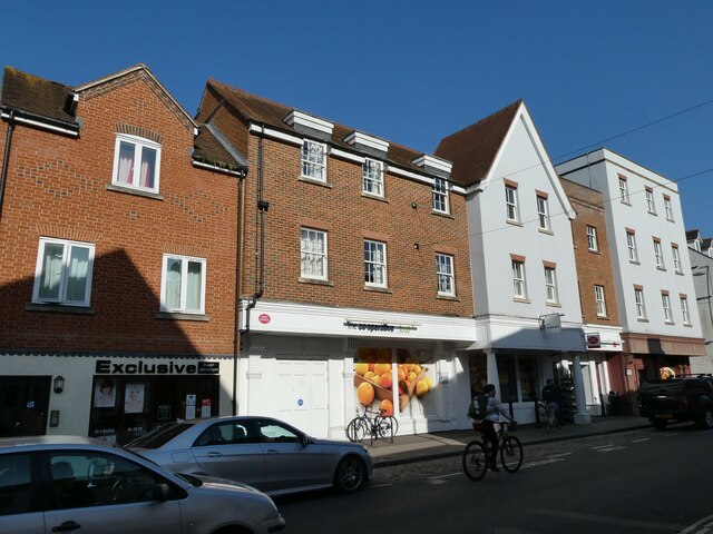
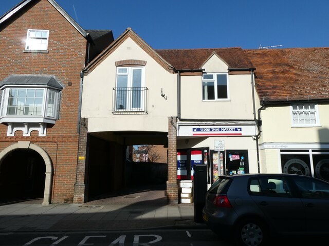
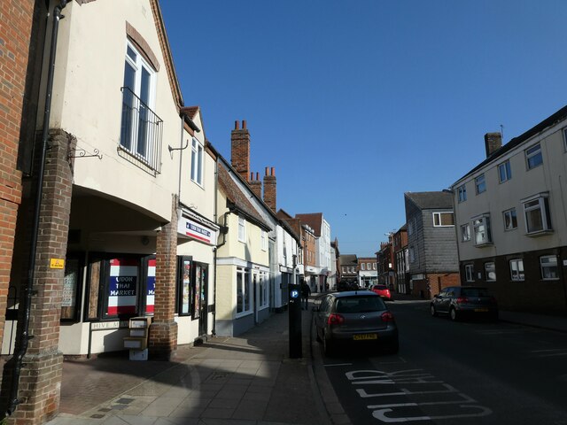
Evidence of Abingdon's rich history can be seen in its architecture and landmarks. The town is home to the beautiful 13th-century St. Helen's Church, known for its distinctive perpendicular Gothic style. The Long Alley Almshouses, built in 1446, are another notable example of the town's historical buildings. Abingdon also boasts an impressive market square, where a weekly market has been held since the middle ages.
Abingdon has a strong connection to education, with several notable schools located in the area. The town is home to Abingdon School, a prestigious independent school founded in 1256, and Our Lady's Abingdon, a highly regarded independent girls' school.
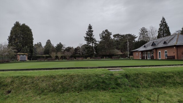
The town also offers a range of recreational activities for residents and visitors. The Abbey Meadows, situated by the River Thames, provide a scenic spot for picnics, walks, and outdoor sports. The annual Abingdon-on-Thames Traditional Morris Dancing Festival attracts visitors from across the country and celebrates the town's cultural heritage.
Abingdon is well-connected by road and rail, with easy access to major cities like Oxford, Reading, and London. The town's vibrant community, rich history, and picturesque surroundings make it an attractive place to live and visit.
If you have any feedback on the listing, please let us know in the comments section below.
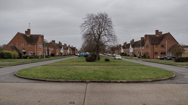
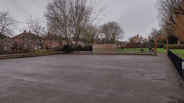
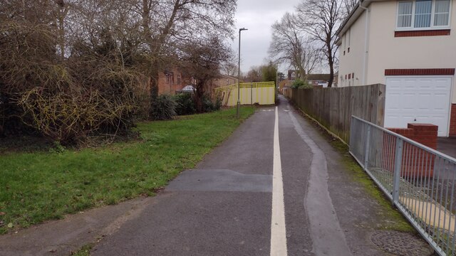
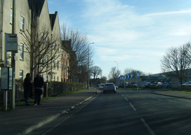
Abingdon Images
Images are sourced within 2km of 51.67014/-1.2809793 or Grid Reference SU4997. Thanks to Geograph Open Source API. All images are credited.


Abingdon is located at Grid Ref: SU4997 (Lat: 51.67014, Lng: -1.2809793)
Administrative County: Oxfordshire
District: Vale of White Horse
Police Authority: Thames Valley
Also known as: Abingdon-on-Thames
What 3 Words
///loose.online.ally. Near Abingdon, Oxfordshire
Nearby Locations
Related Wikis

St Nicolas Church, Abingdon
The Church of Saint Nicolas is a Church of England parish church in Abingdon in the English county of Oxfordshire (formerly within Berkshire). == History... ==
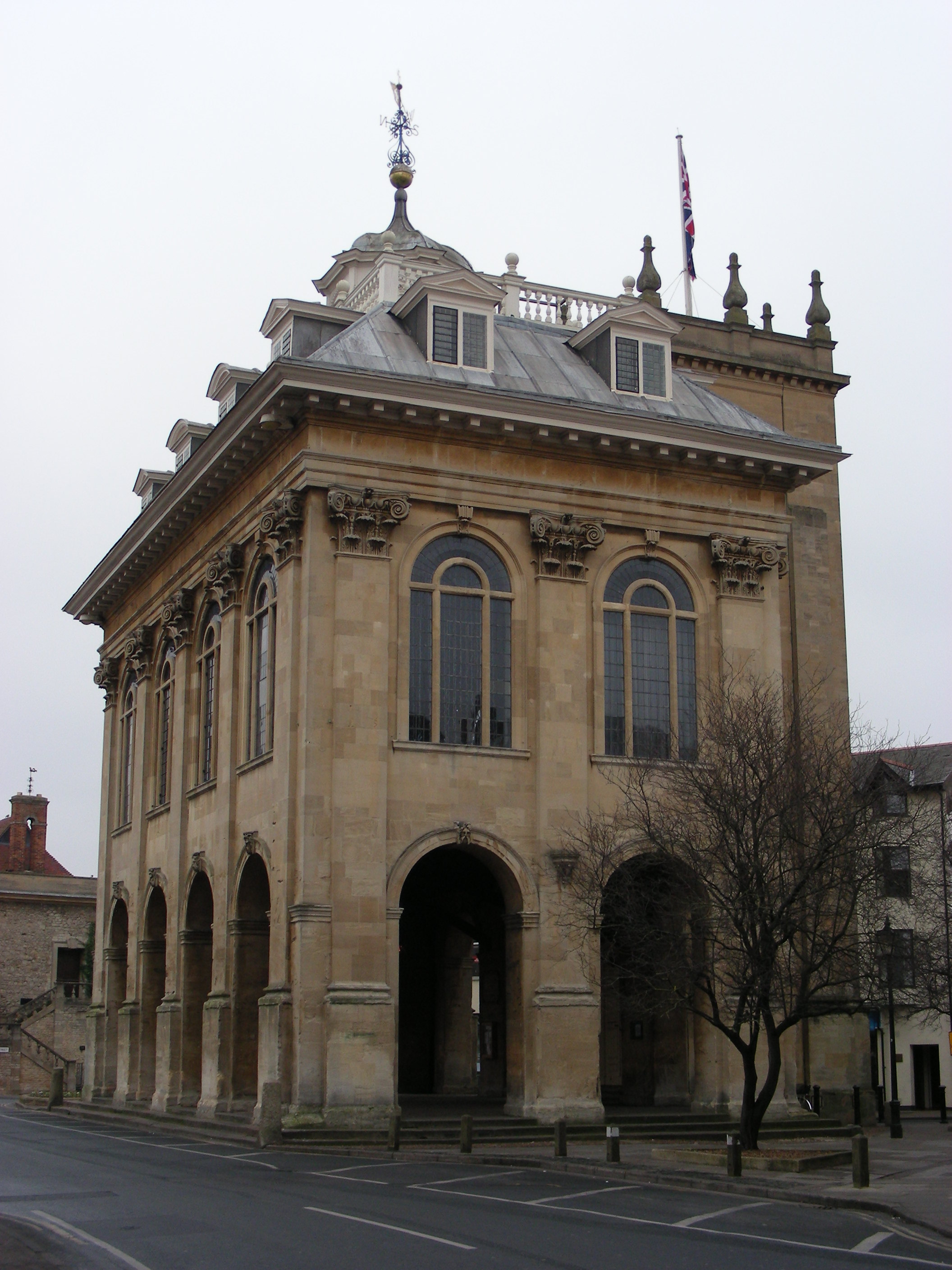
Abingdon County Hall Museum
Abingdon County Hall Museum (also known as Abingdon Museum) is a local museum in Abingdon, Oxfordshire, England. The museum is run by Abingdon Town Council...
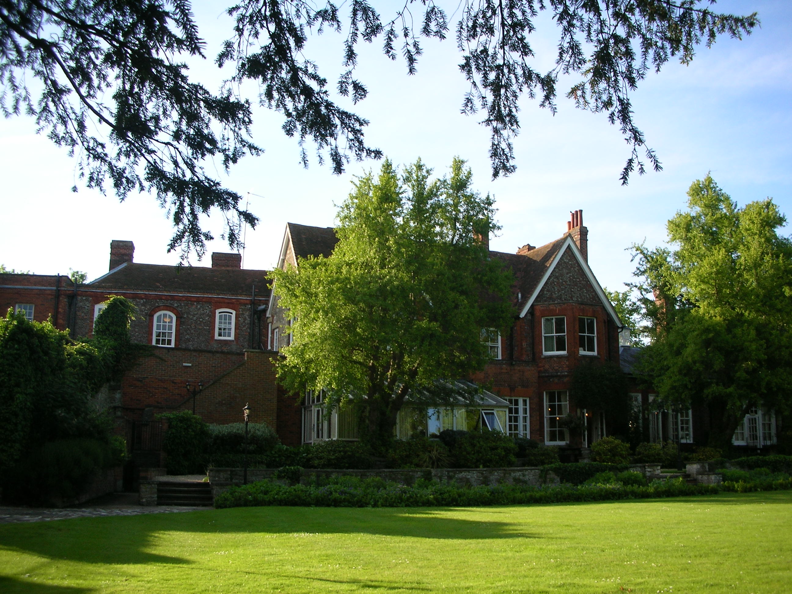
Cosener's House
The Cosener's House sits on the northern bank of the River Thames in Abingdon, separated from the town by the Abbey mill stream and within the original...
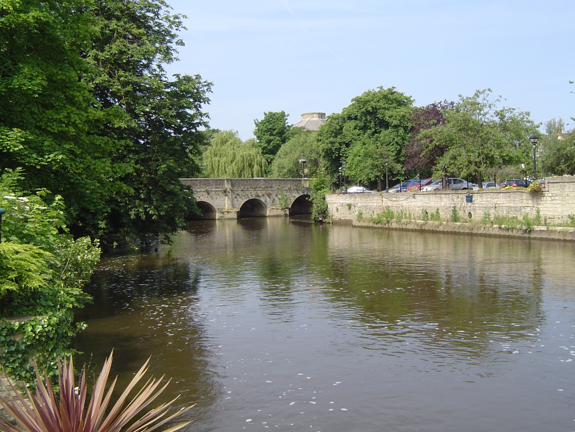
Abingdon Bridge
Abingdon Bridge crosses the River Thames at the town of Abingdon, Oxfordshire, England. It carries the A415 road from Abingdon to Dorchester, Oxfordshire...
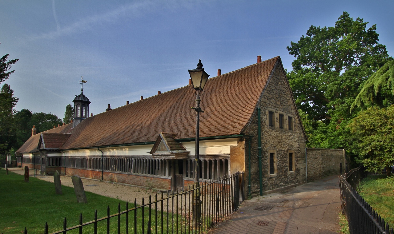
Christ's Hospital of Abingdon
Christ's Hospital of Abingdon is a charity with a long history, based in Abingdon-on-Thames, Oxfordshire (formerly Berkshire). == History == A royal charter...

Nag's Head Island
Nag's Head Island is an island in the River Thames in England at Abingdon. It sits in the middle of the two Abingdon Bridges on the reach above Culham...

Abingdon railway station
Abingdon railway station was a station which served the town of Abingdon in Oxfordshire, England until 1963. == History == The station was built by the...

Abingdon-on-Thames
Abingdon-on-Thames ( AB-ing-dən), commonly known as Abingdon, is a historic market town and civil parish in the ceremonial county of Oxfordshire, England...
Nearby Amenities
Located within 500m of 51.67014,-1.2809793Have you been to Abingdon?
Leave your review of Abingdon below (or comments, questions and feedback).