Grèineam

Island in Inverness-shire

Scotland

Grèineam

Eilean Fuam The last skerry that the Sound of Harris ferry needs to avoid before docking in Berneray.
Eilean Fuam Credit: Anne Burgess

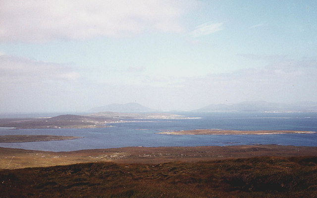
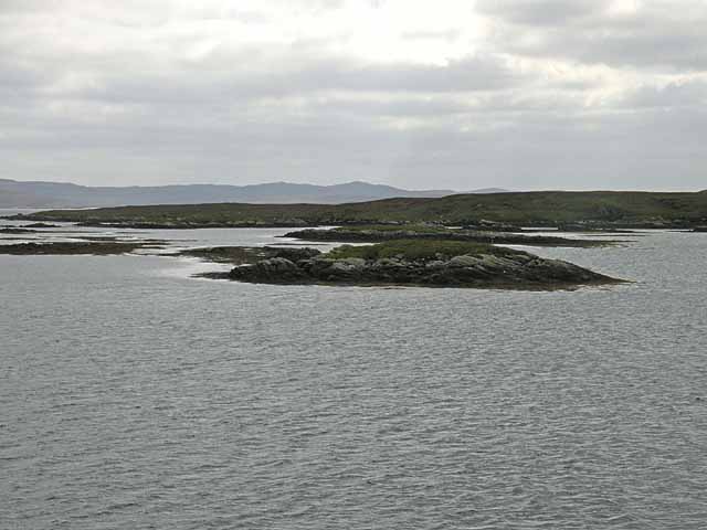
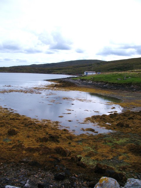
Grèineam is a small, picturesque island located off the coast of Inverness-shire in Scotland. The island is known for its stunning natural beauty, with rugged cliffs, lush greenery, and pristine beaches. It is a popular destination for tourists seeking a peaceful retreat away from the hustle and bustle of city life.

Grèineam is home to a small population of around 100 residents, who primarily make a living through fishing and tourism. The island has a quaint village with charming cottages, a few shops, and a cozy inn where visitors can stay.

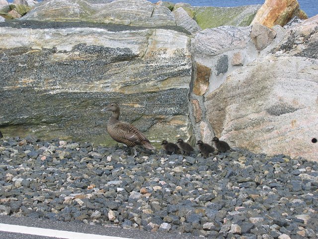
Visitors to Grèineam can enjoy a variety of outdoor activities such as hiking, birdwatching, and kayaking. The island is also a great spot for wildlife enthusiasts, as it is home to a variety of seabirds, seals, and other marine life.

Overall, Grèineam offers a tranquil and idyllic escape for those looking to immerse themselves in the natural beauty of the Scottish Highlands. Its rugged landscapes, friendly locals, and rich history make it a truly unique and enchanting destination.

If you have any feedback on the listing, please let us know in the comments section below.
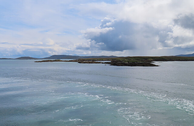
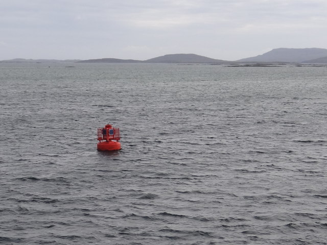
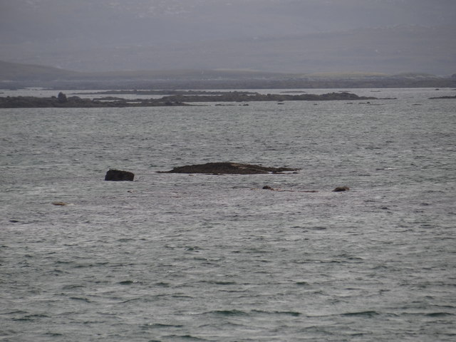
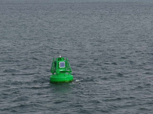
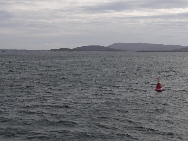
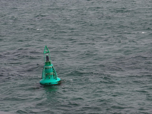
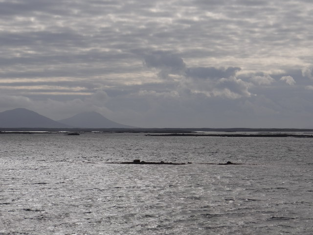
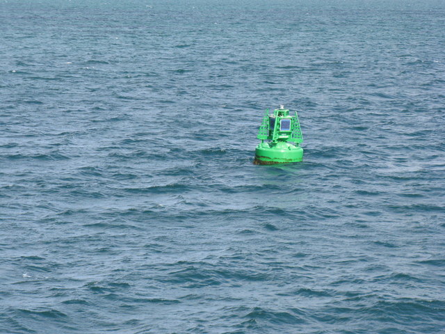
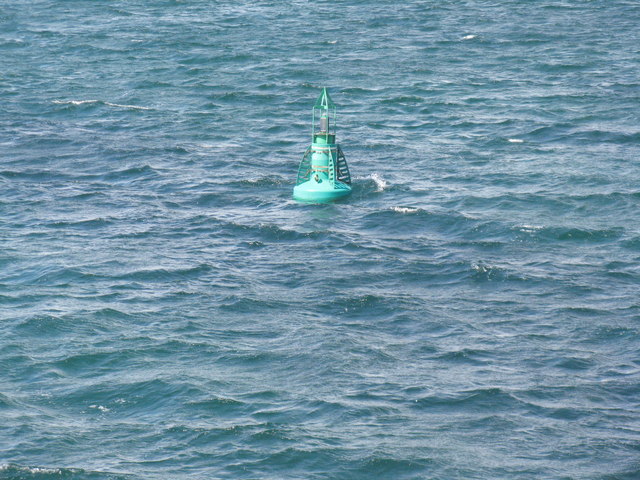
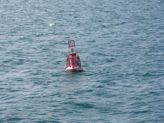
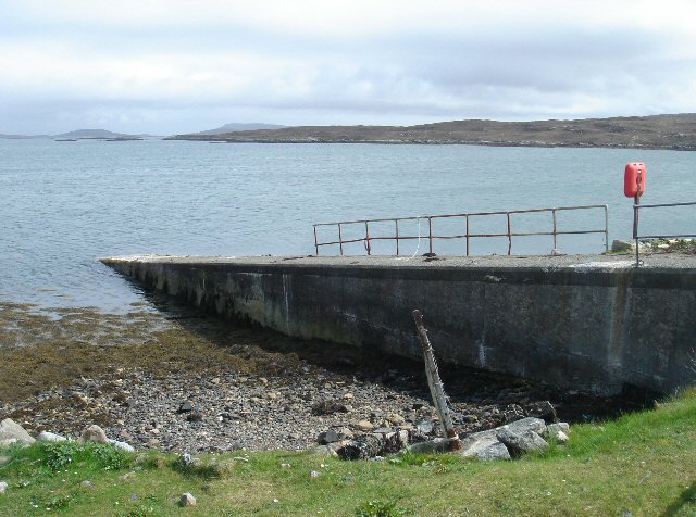
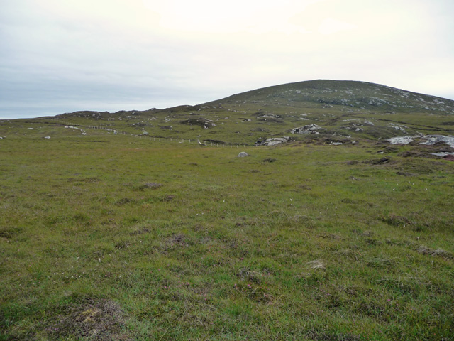
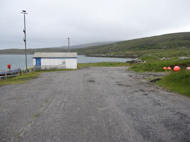
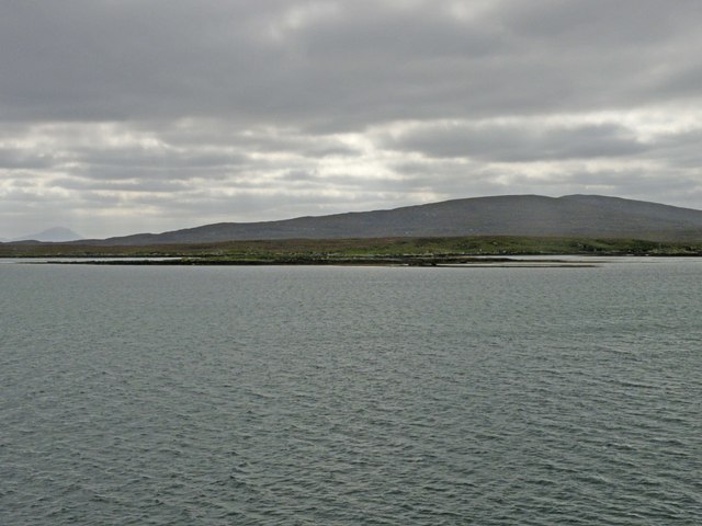
Grèineam Images

Images are sourced within 2km of 57.684492/-7.1651394 or Grid Reference NF9277. Thanks to Geograph Open Source API. All images are credited.

Eilean Fuam The last skerry that the Sound of Harris ferry needs to avoid before docking in Berneray.
Eilean Fuam
The last skerry that the Sound of Harris ferry needs to avoid before docking in Berneray.
Berneray Spit Port Lateral Buoy This red canister buoy emits a red flashing light every three seconds at night.
Berneray Spit Port Lateral Buoy
This red canister buoy emits a red flashing light every three seconds at night.
Hidden danger Rocks near Torogay which appear at low tide but are otherwise submerged.
Hidden danger
Rocks near Torogay which appear at low tide but are otherwise submerged.
Trench Starboard Lateral Buoy Green channel marker which emits three green flashes every ten seconds at night.
Trench Starboard Lateral Buoy
Green channel marker which emits three green flashes every ten seconds at night.
Ceann na Dige Port Lateral Buoy This buoy emits a quick red flash at night.
Ceann na Dige Port Lateral Buoy
This buoy emits a quick red flash at night.
Portain Starboard Lateral Buoy Green channel marker buoy which emits a flashing green light every three seconds at night.
Portain Starboard Lateral Buoy
Green channel marker buoy which emits a flashing green light every three seconds at night.
Half Channel Rock One of numerous rocks in the area which are submerged at high tide.
Half Channel Rock
One of numerous rocks in the area which are submerged at high tide.
TRENCH starboard buoy On the approach to Berneray/Bearnaraigh.
TRENCH starboard buoy
On the approach to Berneray/Bearnaraigh.
Portain Starboard Buoy Marking the channel leading to Berneray ferry terminal.
Portain Starboard Buoy
Marking the channel leading to Berneray ferry terminal.
Portain Port Buoy Marking the channel into the ferry terminal at Berneray.
Portain Port Buoy
Marking the channel into the ferry terminal at Berneray.
The north slopes of Beinn Bhreac Berneray and the hills of Harris in the distance.
The north slopes of Beinn Bhreac
Berneray and the hills of Harris in the distance.
Berneray Causeway. Connecting Berneray with North Uist. Curiously, Berneray was always administratively part of Harris, so this could be a causeway from "Harris"  to Uist.  A real Harris connection is still a dream, and is a long term plan, it could be quite a powerful renewable energy source harnessing the tides.
Meanwhile this more modest structure is a problem for this eider family, they are walking over what they could have swum through a few years back.
Berneray Causeway.
Connecting Berneray with North Uist. Curiously, Berneray was always administratively part of Harris, so this could be a causeway from "Harris" to Uist. A real Harris connection is still a dream, and is a long term plan, it could be quite a powerful renewable energy source harnessing the tides. Meanwhile this more modest structure is a problem for this eider family, they are walking over what they could have swum through a few years back.
Newton Jetty, North Uist Before the opening of the causeway in 1999, Newton Jetty was the terminal for a passenger ferry to Berneray. It is owned by the local authority, but is now seldom used.
Newton Jetty, North Uist
Before the opening of the causeway in 1999, Newton Jetty was the terminal for a passenger ferry to Berneray. It is owned by the local authority, but is now seldom used.
Beinn Bhreac The northern slopes of the hill, seen from boggy ground east of the road to Berneray.
Beinn Bhreac
The northern slopes of the hill, seen from boggy ground east of the road to Berneray.
Small building by the jetty By Loch nam Ban.
Small building by the jetty
By Loch nam Ban.
Eilean na Cloiche A small island in the Sound of Harris. It is not easy to pick out this island against the rather larger Torogaigh <a href="https://www.geograph.org.uk/gridref/NF9178">NF9178</a> behind it. On the skyline is Beinn Mhor <a href="https://www.geograph.org.uk/gridref/NF8976">NF8976</a> in the north east corner of North Uist.
Eilean na Cloiche
A small island in the Sound of Harris. It is not easy to pick out this island against the rather larger Torogaigh NF9178 behind it. On the skyline is Beinn Mhor NF8976 in the north east corner of North Uist.
Eilean Fuam One of the innumerable islands in the Sound of Harris. Torogaigh <a href="https://www.geograph.org.uk/gridref/NF9178">NF9178</a> lies beyond, with the hills of North Uist in the distance.
Eilean Fuam
One of the innumerable islands in the Sound of Harris. Torogaigh NF9178 lies beyond, with the hills of North Uist in the distance.
Loch nam Ban Seaweed covered rocks in a corner of this small sea loch.
Loch nam Ban
Seaweed covered rocks in a corner of this small sea loch.
Show me another place!

Grèineam is located at Grid Ref: NF9277 (Lat: 57.684492, Lng: -7.1651394)

Unitary Authority: Na h-Eileanan an Iar

Police Authority: Highlands and Islands

Also known as: Greanem

What 3 Words

///tricycle.plunger.buyers. Near Lochmaddy, Na h-Eileanan Siar

Related Wikis

Otternish

Otternish is the former North Uist terminal for the ferry to Berneray, in the Outer Hebrides, Scotland. The slipway lies 6 miles (10 km) north of Lochmaddy...

Dun an Sticir

Dun an Sticir (Scottish Gaelic: Dùn an Sticir [ˈt̪un əɲ ˈʃtʲiçkʲɪɾʲ]) is an Iron Age broch situated approximately 9.5 kilometers north of Lochmaddy in...

Newtonferry

Newtonferry (Scottish Gaelic: Port nan Long, "the harbour of the ships") is a small crofting community on the island of North Uist in the Western Isles...

Stromay

Stromay (Scottish Gaelic: Sròmaigh) is a tidal island off North Uist in the Sound of Harris, Scotland. The low island of Stromay lies between two wide...

Have you been to Grèineam?

Leave your review of Grèineam below (or comments, questions and feedback).