Glengarry's Rock
Island in Argyllshire
Scotland
Glengarry's Rock

Glengarry's Rock is a small island located off the coast of Argyllshire, Scotland. Situated within the Inner Hebrides, it is part of a picturesque archipelago known for its rugged beauty and rich history. The island is named after the nearby Glengarry Bay, which offers stunning views and serves as a popular tourist destination.
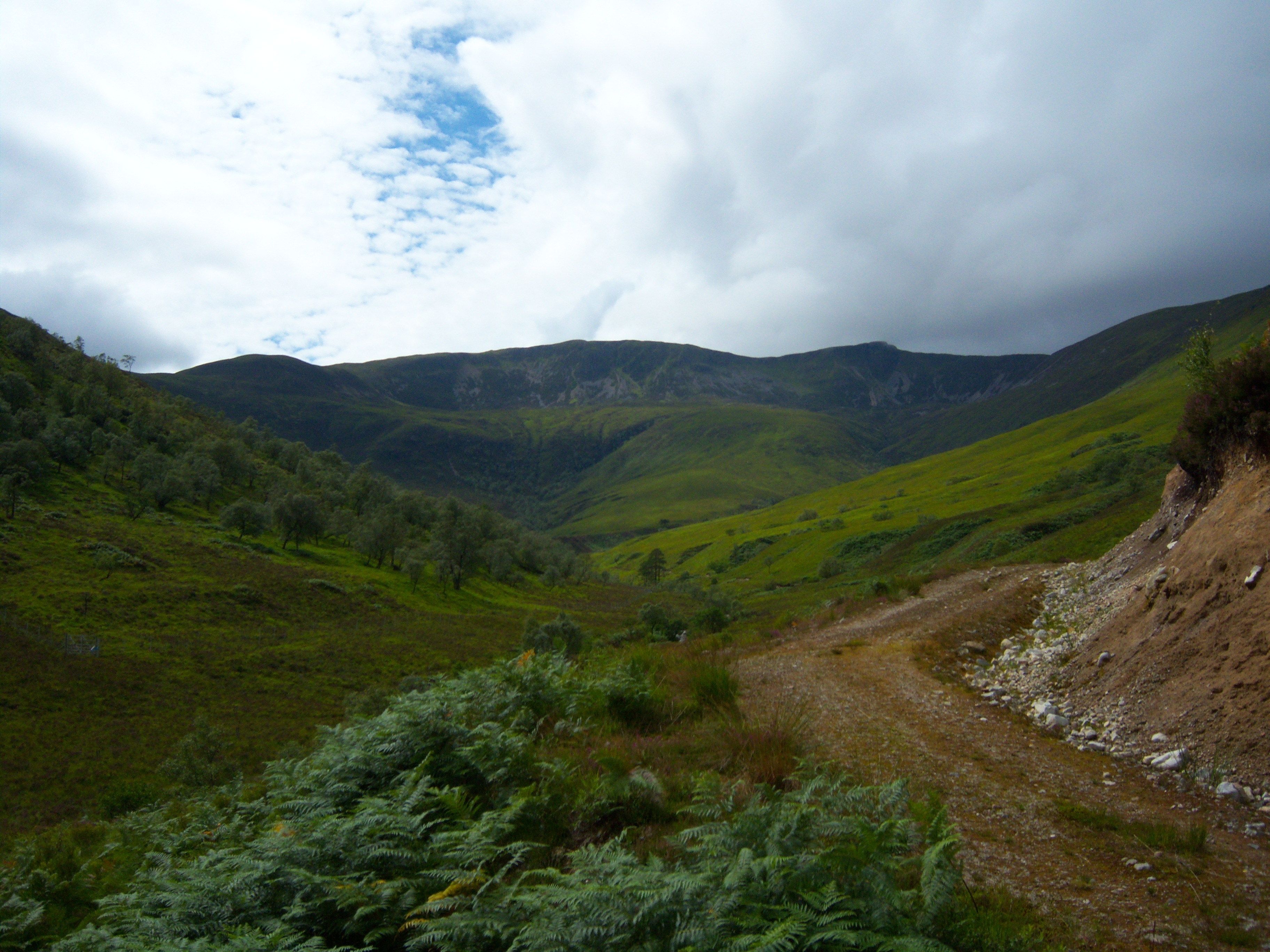
Covering an area of approximately 30 acres, Glengarry's Rock is characterized by its rocky terrain, with a prominent hill rising to a height of 200 feet at its center. The island's landscape is dotted with heather and grasses, providing a natural habitat for various bird species, including puffins, guillemots, and razorbills. Visitors can enjoy birdwatching and observe the diverse marine life thriving in the surrounding waters.
Access to Glengarry's Rock is limited, as there are no regular ferry services to the island. However, adventurous tourists can hire private boats or kayaks to reach its shores. The isolation adds to the island's allure, offering a tranquil retreat for those seeking solace amidst nature.
The island's historical significance is evident through the ruins of an ancient chapel, believed to date back to the 12th century. These ruins, along with remnants of stone walls and burial grounds, provide a glimpse into the island's past and its connection to the local communities.
Overall, Glengarry's Rock is a hidden gem within the Argyllshire region, offering breathtaking landscapes, abundant wildlife, and a touch of history. It is a must-visit destination for nature enthusiasts and history buffs alike, providing a unique and unforgettable experience.
If you have any feedback on the listing, please let us know in the comments section below.
Glengarry's Rock Images
Images are sourced within 2km of 56.762348/-5.2229293 or Grid Reference NN0368. Thanks to Geograph Open Source API. All images are credited.


Glengarry's Rock is located at Grid Ref: NN0368 (Lat: 56.762348, Lng: -5.2229293)
Unitary Authority: Highland
Police Authority: Highlands and Islands
Also known as: Sgeir Mhic Ic Alasdair
What 3 Words
///rocks.moment.hedgehog. Near Fort William, Highland
Related Wikis

Inchree
Inchree (Scottish Gaelic: Innis an Ruighe) is a small hamlet, situated at the northern end of the village of Onich. It is 7 miles south of the town of...

Beinn na Gucaig
Beinn na Gucaig (616 m) is a mountain in the Grampian Mountains of Scotland, located south of Fort William in Lochaber. The peak takes up much of the eastern...

Corran Ferry
The Corran Ferry crosses Loch Linnhe at the Corran Narrows, south of Fort William, Scotland. == Description == Operated by Highland Council, the Corran...

Corran, Lochaber
Corran (Scottish Gaelic: An Corran) is a former fishing village, situated on Corran Point, on the west side of the Corran Narrows of Loch Linnhe, in Lochaber...
Stob Coire a' Chearcaill
Stob Coire a' Chearcaill (771 m) is a mountain in the Northwest Highlands, Scotland. It lies west of Loch Linnhe in Lochaber. The peak is a familiar sight...
Druimarben
Druimarben (Scottish Gaelic: Druim Earbainn) is a hamlet on the east shore of Loch Linnhe in Inverness-shire, Scottish Highlands and is in the Scottish...
Stronchreggan
Stronchreggan (Scottish Gaelic: Sròn a' Chritheagain) is a scattered coastal hamlet, on the north eastern shores of Loch Linnhe, and is situated directly...

Blarmachfoldach
Blarmachfoldach (or Blàr Mac Faoilteach; Blàrmacfaoltach) is a small crofting settlement in Lochaber, in the Highland council area of Scotland. It is located...
Nearby Amenities
Located within 500m of 56.762348,-5.2229293Have you been to Glengarry's Rock?
Leave your review of Glengarry's Rock below (or comments, questions and feedback).