Abhainn Dubh

Sea, Estuary, Creek in Inverness-shire

Scotland

Abhainn Dubh

Hidden danger Rocks near Torogay which appear at low tide but are otherwise submerged.
Hidden danger Credit: Ian Paterson

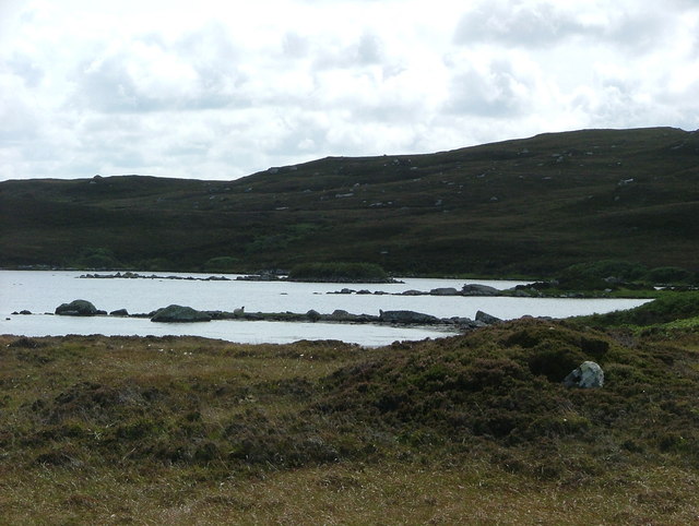
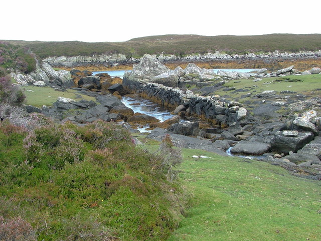
Abhainn Dubh, located in Inverness-shire, Scotland, is a prominent geographical feature that encompasses a sea, estuary, and creek. It is situated in the western part of the Scottish Highlands, near the town of Inverness. The name "Abhainn Dubh" translates to "Black River" in Gaelic, mirroring the dark appearance of its waters.

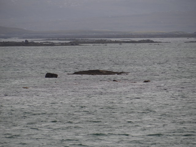
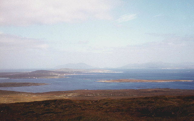
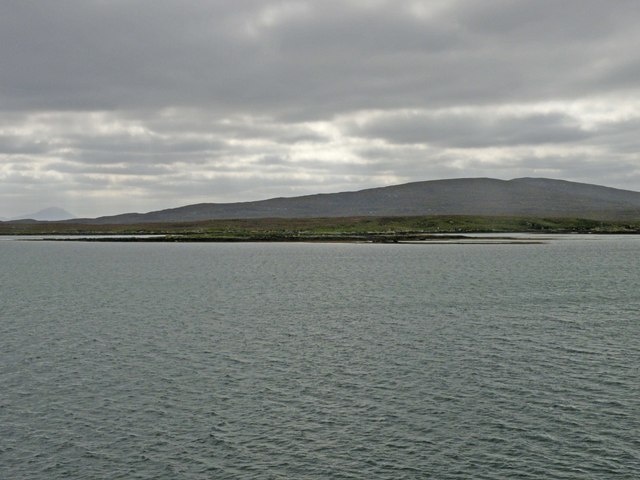
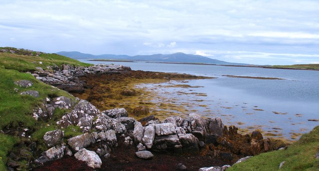
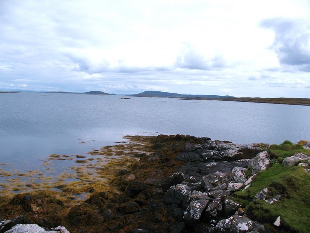
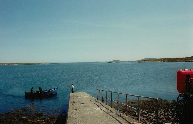
The sea aspect of Abhainn Dubh refers to its connection to the vast Atlantic Ocean. The sea here is known for its turbulent nature, with powerful waves crashing against the rugged coastline. This makes it a popular spot for surfing and other water sports, attracting enthusiasts from near and far.

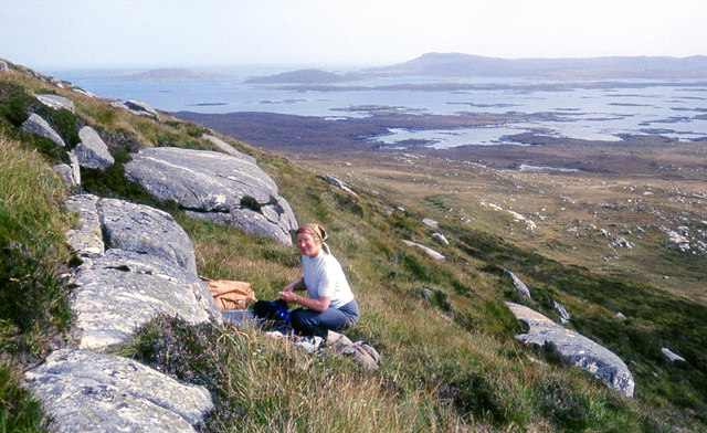
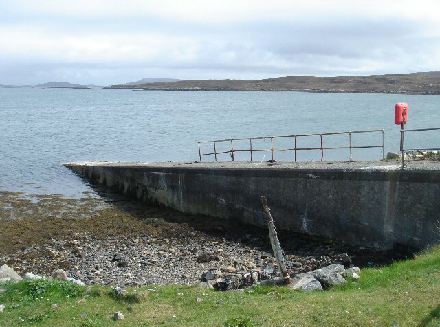
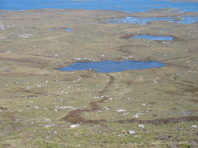
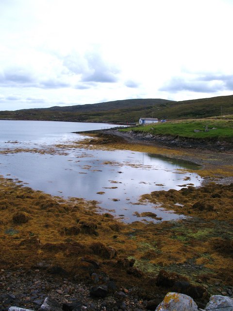
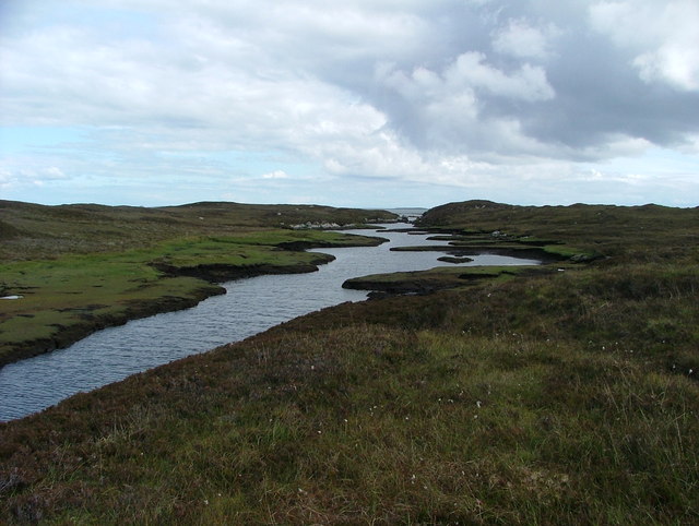
The estuary of Abhainn Dubh is where the river meets the sea. It is a transitional area where the river's fresh water mixes with the saltwater of the ocean. This unique environment supports a diverse range of flora and fauna, including various species of fish, birds, and marine life. It is an important habitat for migratory birds and serves as a breeding ground for several aquatic species.

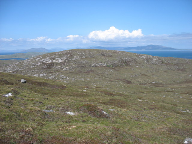
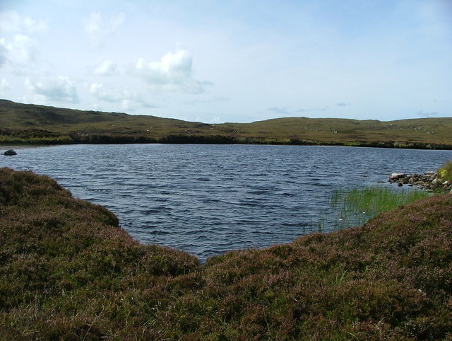
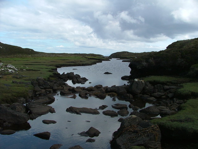
The creek within Abhainn Dubh refers to a smaller watercourse that flows into the estuary. This creek meanders through the surrounding countryside, creating a picturesque landscape of rolling hills and valleys. It is an idyllic location for leisurely walks and offers stunning views of the surrounding natural beauty.

Overall, Abhainn Dubh is a captivating location that combines the power of the sea, the richness of the estuary, and the tranquility of the creek. It offers a wide range of recreational activities and serves as a haven for wildlife, making it a must-visit destination for nature enthusiasts and adventure seekers alike.

If you have any feedback on the listing, please let us know in the comments section below.
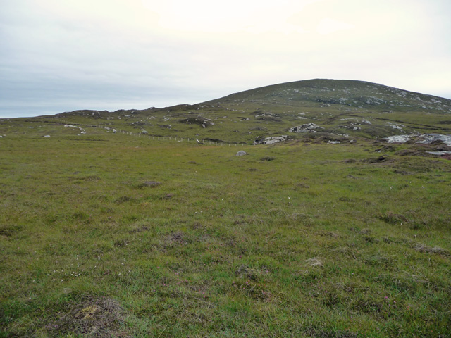
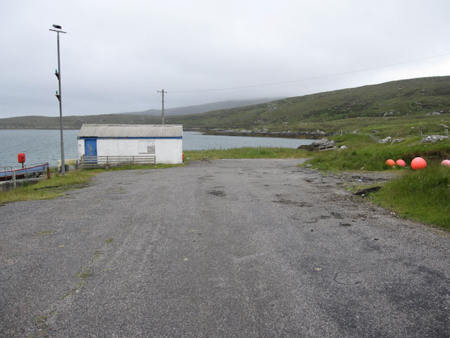
Abhainn Dubh Images

Images are sourced within 2km of 57.681221/-7.1683348 or Grid Reference NF9277. Thanks to Geograph Open Source API. All images are credited.

Hidden danger Rocks near Torogay which appear at low tide but are otherwise submerged.
Hidden danger
Rocks near Torogay which appear at low tide but are otherwise submerged.
On the south slopes of Beinn Bhreac
The north slopes of Beinn Bhreac Berneray and the hills of Harris in the distance.
The north slopes of Beinn Bhreac
Berneray and the hills of Harris in the distance.
Newton Jetty, North Uist Before the opening of the causeway in 1999, Newton Jetty was the terminal for a passenger ferry to Berneray. It is owned by the local authority, but is now seldom used.
Newton Jetty, North Uist
Before the opening of the causeway in 1999, Newton Jetty was the terminal for a passenger ferry to Berneray. It is owned by the local authority, but is now seldom used.
Beinn Bhreac The northern slopes of the hill, seen from boggy ground east of the road to Berneray.
Beinn Bhreac
The northern slopes of the hill, seen from boggy ground east of the road to Berneray.
Small building by the jetty By Loch nam Ban.
Small building by the jetty
By Loch nam Ban.
Eilean na Cloiche A small island in the Sound of Harris. It is not easy to pick out this island against the rather larger Torogaigh <a href="https://www.geograph.org.uk/gridref/NF9178">NF9178</a> behind it. On the skyline is Beinn Mhor <a href="https://www.geograph.org.uk/gridref/NF8976">NF8976</a> in the north east corner of North Uist.
Eilean na Cloiche
A small island in the Sound of Harris. It is not easy to pick out this island against the rather larger Torogaigh NF9178 behind it. On the skyline is Beinn Mhor NF8976 in the north east corner of North Uist.
Beinn Bhreac from Beinn Mhor The hills of South Harris are in the distance.
Beinn Bhreac from Beinn Mhor
The hills of South Harris are in the distance.
Loch Dubh na Moine Taken from the east slopes of Beinn Mhor. What was presumably an old enclosure boundary leads down to the loch.
Loch Dubh na Moine
Taken from the east slopes of Beinn Mhor. What was presumably an old enclosure boundary leads down to the loch.
Loch nam Ban Seaweed covered rocks in a corner of this small sea loch.
Loch nam Ban
Seaweed covered rocks in a corner of this small sea loch.
Coastline at Loch nam Ban A quiet corner of North Uist. One wonders why someone came this far to drop a soft drinks can, crisp packet and Mars bar wrapper. The more public spirited amongst us took the litter away again.
Coastline at Loch nam Ban
A quiet corner of North Uist. One wonders why someone came this far to drop a soft drinks can, crisp packet and Mars bar wrapper. The more public spirited amongst us took the litter away again.
Rocky shoreline The rocky shoreline at Rubha Charnain Mhoir.
Rocky shoreline
The rocky shoreline at Rubha Charnain Mhoir.
Newton Jetty Newton Jetty, North Uist. No longer used as a ferry departure point.
Newton Jetty
Newton Jetty, North Uist. No longer used as a ferry departure point.
Loch Camas-Duibhe A fairly featureless lochan, but attractive nevertheless.
Loch Camas-Duibhe
A fairly featureless lochan, but attractive nevertheless.
Abhainn Dubh Black River indeed - it flows over and through the peat, and even at close quarters, while clear, appears black.
Abhainn Dubh
Black River indeed - it flows over and through the peat, and even at close quarters, while clear, appears black.
Abhainn Dubh A wider image of the Black River.
Abhainn Dubh
A wider image of the Black River.
Loch Iosal an Duin A lovely loch complete with Dun (just into the next grid-square south).
Loch Iosal an Duin
A lovely loch complete with Dun (just into the next grid-square south).
Outflow from unnamed lochan The dry stone wall follows the burn flowing from the loch, indeed it seems to have been built in the middle of the burn.  It is not marked on the maps.
Outflow from unnamed lochan
The dry stone wall follows the burn flowing from the loch, indeed it seems to have been built in the middle of the burn. It is not marked on the maps.
Show me another place!

Abhainn Dubh is located at Grid Ref: NF9277 (Lat: 57.681221, Lng: -7.1683348)

Unitary Authority: Na h-Eileanan an Iar

Police Authority: Highlands and Islands

What 3 Words

///dares.lofts.flats. Near Lochmaddy, Na h-Eileanan Siar

Related Wikis

Dun an Sticir

Dun an Sticir (Scottish Gaelic: Dùn an Sticir [ˈt̪un əɲ ˈʃtʲiçkʲɪɾʲ]) is an Iron Age broch situated approximately 9.5 kilometers north of Lochmaddy in...

Otternish

Otternish is the former North Uist terminal for the ferry to Berneray, in the Outer Hebrides, Scotland. The slipway lies 6 miles (10 km) north of Lochmaddy...

Newtonferry

Newtonferry (Scottish Gaelic: Port nan Long, "the harbour of the ships") is a small crofting community on the island of North Uist in the Western Isles...

Stromay

Stromay (Scottish Gaelic: Sròmaigh) is a tidal island off North Uist in the Sound of Harris, Scotland. The low island of Stromay lies between two wide...

Related Videos

Have you been to Abhainn Dubh?

Leave your review of Abhainn Dubh below (or comments, questions and feedback).