Dillyminnen
Island in Banffshire
Scotland
Dillyminnen

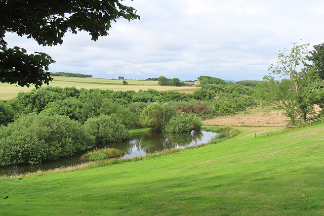
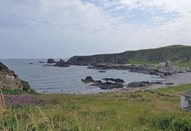
Dillyminnen is a small island located off the northeast coast of Scotland, specifically in Banffshire. It is situated in the Moray Firth, approximately 4 miles east of Banff town. The island covers an area of around 20 acres and is surrounded by the North Sea, providing breathtaking coastal views.
The landscape of Dillyminnen is characterized by rugged cliffs and rocky shores, interspersed with pockets of sandy beaches. The island boasts a diverse range of flora and fauna, including various seabird species such as puffins, guillemots, and kittiwakes. The surrounding waters are also teeming with marine life, making it a popular spot for fishing and wildlife enthusiasts.
Dillyminnen is uninhabited, with no permanent residents or infrastructure on the island. However, it attracts visitors who seek tranquility and natural beauty. Access to the island is primarily by boat, and there are no facilities available, so visitors are advised to bring their own supplies and take necessary precautions for safety.
Despite its small size, Dillyminnen has a rich history. It was once used as a lookout point during World War II due to its strategic location. Ruins of military structures and abandoned buildings from that era can still be seen on the island, adding to its historical significance.
Overall, Dillyminnen offers a peaceful retreat where visitors can immerse themselves in nature, explore its rugged coastline, and enjoy the solitude that comes with being on an uninhabited island.
If you have any feedback on the listing, please let us know in the comments section below.
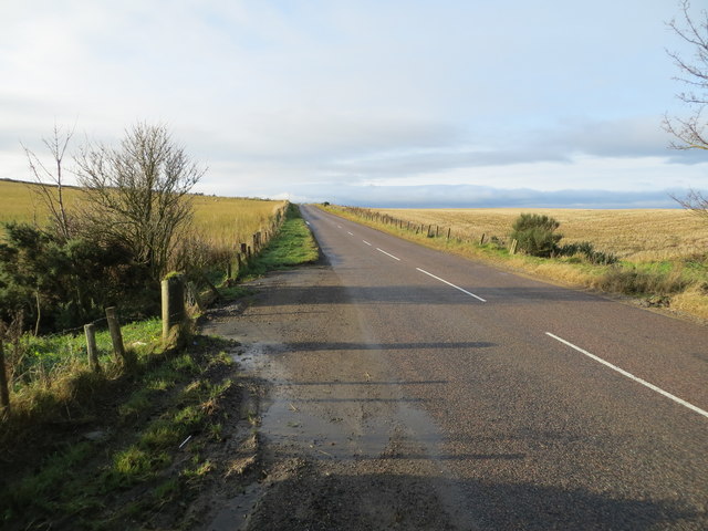
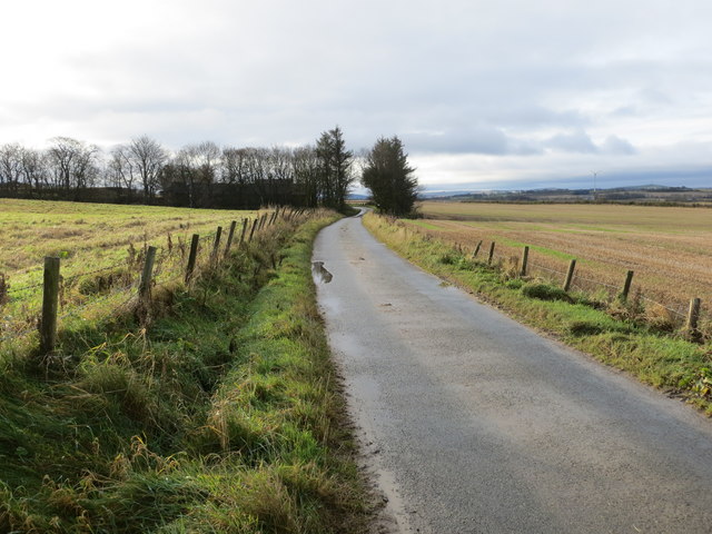
Dillyminnen Images
Images are sourced within 2km of 57.672513/-2.454727 or Grid Reference NJ7264. Thanks to Geograph Open Source API. All images are credited.


Dillyminnen is located at Grid Ref: NJ7264 (Lat: 57.672513, Lng: -2.454727)
Unitary Authority: Aberdeenshire
Police Authority: North East
What 3 Words
///mealtime.clauses.distilled. Near Macduff, Aberdeenshire
Nearby Locations
Related Wikis

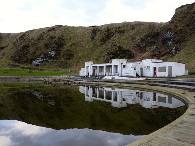
Tarlair Swimming Pool
Tarlair Swimming Pool is a disused lido at the base of a sea cliff just outside Macduff in Aberdeenshire in Scotland. This outdoor swimming complex was...

A98 road
The A98 road is a major coastal road of northeast Scotland passing through Moray and Aberdeenshire. The A98 is no longer a primary route, with this status...

Burn of Myrehouse
The Burn of Myrehouse is a coastal stream in Aberdeenshire in northeast Scotland, the lower section of which, Getty Burn is a right bank tributary of River...

Macduff Marine Aquarium
Macduff Marine Aquarium is an aquarium in Macduff, Scotland. == History == Macduff Marine Aquarium opened in 1997.In 2017, the aquarium closed to allow...
Deveronside F.C.
Deveronside Junior Football Club are a Scottish football club from the town of Banff. Members of the Scottish Junior Football Association, they currently...

Macduff Lifeboat Station
Macduff Lifeboat Station is a Royal National Lifeboat Institution (RNLI) marine-rescue facility in Macduff, Aberdeenshire, Scotland, United Kingdom. The...

Macduff, Aberdeenshire
Macduff (Scottish Gaelic: An Dùn) is a town in the Banff and Buchan area of Aberdeenshire, Scotland. It is situated on Banff Bay and faces the town of...

Macduff Town Hall
Macduff Town Hall is a municipal building in Shore Street, Macduff, Aberdeenshire, Scotland. The structure, which was the meeting place of Macduff Burgh...
Nearby Amenities
Located within 500m of 57.672513,-2.454727Have you been to Dillyminnen?
Leave your review of Dillyminnen below (or comments, questions and feedback).