Scarth Craig
Island in Banffshire
Scotland
Scarth Craig

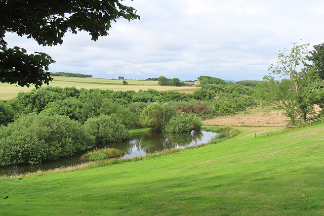
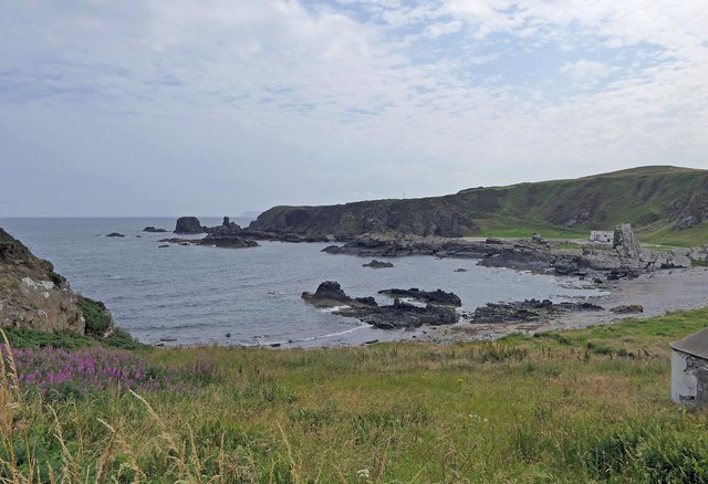
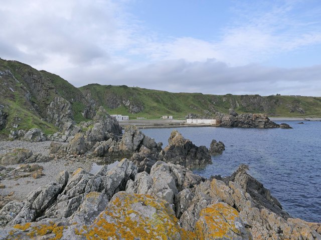
Scarth Craig is a small, uninhabited island located off the coast of Banffshire, Scotland. Situated in the North Sea, it is part of a group of islands known as the Moray Firth Islands. Scarth Craig is approximately 0.5 hectares in size and is characterized by its rugged and rocky terrain.
The island is known for its impressive sea cliffs, which rise up to 30 meters in height. These cliffs provide nesting sites for various seabird species, including guillemots, razorbills, and fulmars. The surrounding waters are also rich in marine life, attracting seals and dolphins to the area.
Access to Scarth Craig is limited due to its remote location and lack of facilities. However, it is a popular destination for birdwatchers and nature enthusiasts who are looking to observe the diverse wildlife in its natural habitat. The island is protected as a Site of Special Scientific Interest, ensuring the preservation of its fragile ecosystem.
Although there is no permanent human population on Scarth Craig, archaeological evidence suggests that the island was inhabited in the past. Stone tools and remains of structures have been discovered, indicating human activity dating back to the Mesolithic period.
Overall, Scarth Craig offers a unique opportunity to experience the untouched beauty of Scotland's coastline, with its dramatic cliffs, abundant wildlife, and intriguing history.
If you have any feedback on the listing, please let us know in the comments section below.
Scarth Craig Images
Images are sourced within 2km of 57.67246/-2.4619184 or Grid Reference NJ7264. Thanks to Geograph Open Source API. All images are credited.


Scarth Craig is located at Grid Ref: NJ7264 (Lat: 57.67246, Lng: -2.4619184)
Unitary Authority: Aberdeenshire
Police Authority: North East
What 3 Words
///estimates.sparkles.rooks. Near Macduff, Aberdeenshire
Nearby Locations
Related Wikis

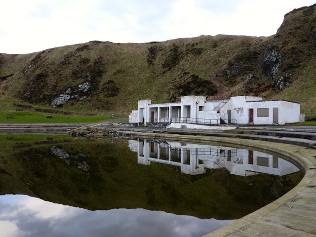
Tarlair Swimming Pool
Tarlair Swimming Pool is a disused lido at the base of a sea cliff just outside Macduff in Aberdeenshire in Scotland. This outdoor swimming complex was...

A98 road
The A98 road is a major coastal road of northeast Scotland passing through Moray and Aberdeenshire. The A98 is no longer a primary route, with this status...

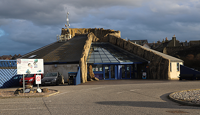
Macduff Marine Aquarium
Macduff Marine Aquarium is an aquarium in Macduff, Scotland. == History == Macduff Marine Aquarium opened in 1997.In 2017, the aquarium closed to allow...

Burn of Myrehouse
The Burn of Myrehouse is a coastal stream in Aberdeenshire in northeast Scotland, the lower section of which, Getty Burn is a right bank tributary of River...

Macduff Lifeboat Station
Macduff Lifeboat Station is a Royal National Lifeboat Institution (RNLI) marine-rescue facility in Macduff, Aberdeenshire, Scotland, United Kingdom. The...
Deveronside F.C.
Deveronside Junior Football Club are a Scottish football club from the town of Banff. Members of the Scottish Junior Football Association, they currently...

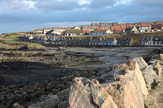
Macduff, Aberdeenshire
Macduff (Scottish Gaelic: An Dùn) is a town in the Banff and Buchan area of Aberdeenshire, Scotland. It is situated on Banff Bay and faces the town of...

Macduff Town Hall
Macduff Town Hall is a municipal building in Shore Street, Macduff, Aberdeenshire, Scotland. The structure, which was the meeting place of Macduff Burgh...
Nearby Amenities
Located within 500m of 57.67246,-2.4619184Have you been to Scarth Craig?
Leave your review of Scarth Craig below (or comments, questions and feedback).