Brans Craig
Island in Angus
Scotland
Brans Craig

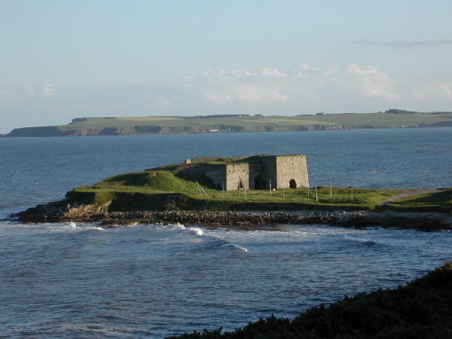
Brans Craig, Angus (Island) is a small island located off the east coast of Scotland. It is situated in the North Sea, approximately 1.5 kilometers northeast of Arbroath. The island has an area of about 0.4 hectares and is part of the Angus Council area.
Brans Craig is a rocky island with steep cliffs, rising up to 20 meters above sea level. It is predominantly composed of sandstone and shale, with some areas covered in vegetation. The island is uninhabited and lacks any permanent structures or facilities. It is primarily visited by nature enthusiasts, birdwatchers, and occasional fishermen.
The island is known for its diverse wildlife, particularly its bird population. It serves as an important breeding ground and nesting site for various seabirds, including puffins, guillemots, razorbills, and kittiwakes. The surrounding waters are also home to seals, dolphins, and occasional sightings of whales.
Access to Brans Craig is limited due to its remote location and lack of transportation infrastructure. The island can be reached by boat or kayak, with permission from the appropriate authorities. Visitors are advised to be cautious when navigating around the island's rocky coastline and to respect the wildlife and natural environment.
Brans Craig, Angus (Island) offers a unique opportunity for those seeking a secluded and untouched natural experience. Its rugged beauty and abundance of wildlife make it a popular destination for nature lovers and photographers alike.
If you have any feedback on the listing, please let us know in the comments section below.
Brans Craig Images
Images are sourced within 2km of 56.684227/-2.4430856 or Grid Reference NO7254. Thanks to Geograph Open Source API. All images are credited.


Brans Craig is located at Grid Ref: NO7254 (Lat: 56.684227, Lng: -2.4430856)
Unitary Authority: Angus
Police Authority: Tayside
What 3 Words
///dialect.hoops.advising. Near Montrose, Angus
Nearby Locations
Related Wikis
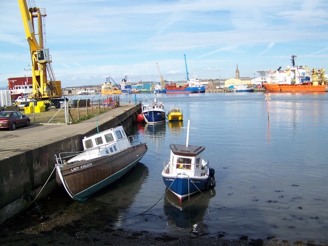
Ferryden
Ferryden is a village in Angus, Scotland in the community council area of Ferryden & Craig. It lies southerly adjacent to the town of Montrose on the south...
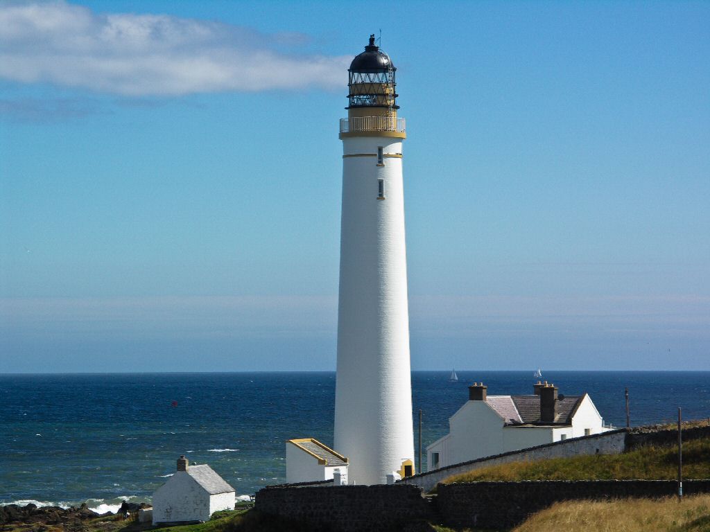
Scurdie Ness
Scurdie Ness is a headland located on the South side of the River South Esk estuary, Montrose, Angus, Scotland. The River leads from the North Sea into...
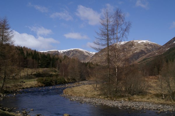
River South Esk
Note: the southern headwater of the River Esk in Lothian is also known as the South Esk.The South Esk (Scottish Gaelic: Easg Dheas) is a river in Angus...
Boddin, Angus
Boddin is a coastal village in Angus, Scotland, two miles south of Montrose. There are lime kilns at Boddin Point. == References ==

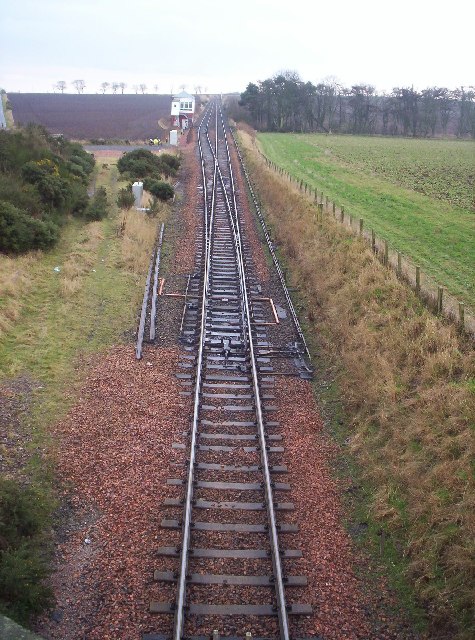
Montrose railway station (Caledonian Railway)
Montrose railway station was opened on 1 February 1848 by the Aberdeen Railway as a terminus of a short branch from Dubton Junction. Services initially...
Montrose, Angus
Montrose ( mon-TROHZ; Scottish Gaelic: Mon Rois [mɔn ˈrˠɔʃ]) is a town and former royal burgh in Angus, Scotland. Situated 28 miles (45 kilometres) north...
Montrose Academy
Montrose Academy is a coeducational secondary school in Montrose Angus. The School now teaches people from ages 11–18. It became a comprehensive school...

Montrose Museum
Montrose Museum opened in 1842 in Montrose, Angus, Scotland. The museum came into being when in 1841 the Montrose Natural History and Antiquarian Society...
Nearby Amenities
Located within 500m of 56.684227,-2.4430856Have you been to Brans Craig?
Leave your review of Brans Craig below (or comments, questions and feedback).