Broad Rock
Island in Angus
Scotland
Broad Rock

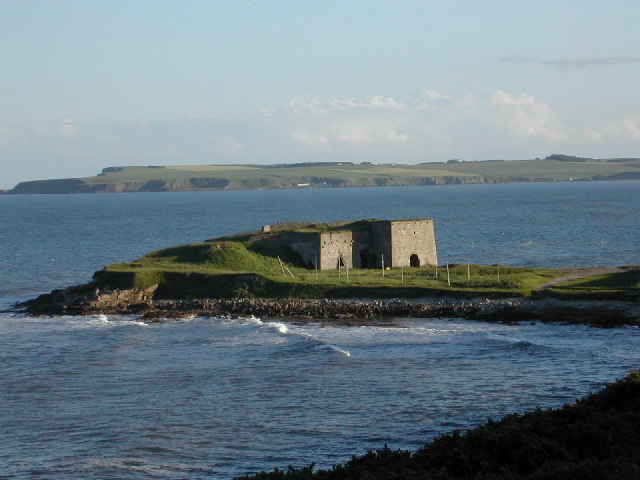
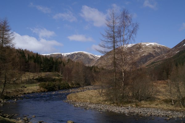
Broad Rock is a small island located off the coast of Angus, Scotland. It is situated approximately 3 kilometers southeast of the town of Arbroath. The island, which is part of the North Sea, has a total area of around 2 hectares.
Broad Rock is known for its unique geology and rugged landscape. The island is composed mainly of sandstone and shale, with tall cliffs rising up to 15 meters in some places. These cliffs provide nesting sites for a variety of seabirds, including guillemots, razorbills, and kittiwakes.
Access to the island is restricted due to its protected status as a nature reserve. However, during low tide, it is possible to walk across a natural causeway from the mainland to Broad Rock. This causeway is submerged during high tide, making the island inaccessible for several hours each day.
The island is home to a diverse range of plant species, including sea campion, thrift, and sea rocket. Seals can often be spotted resting on the rocks surrounding Broad Rock, and occasionally dolphins and porpoises can be seen swimming in the waters nearby.
Broad Rock offers a peaceful and tranquil environment for visitors, who can enjoy the stunning coastal scenery and observe the abundant wildlife. The island serves as an important breeding ground and sanctuary for numerous bird species, making it a popular destination for birdwatchers and nature enthusiasts.
If you have any feedback on the listing, please let us know in the comments section below.
Broad Rock Images
Images are sourced within 2km of 56.682469/-2.4474393 or Grid Reference NO7254. Thanks to Geograph Open Source API. All images are credited.


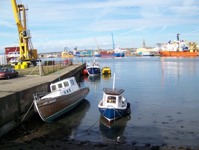
![Remains of an old boat at Boddin Point One can just make out the name of 'Sandra' on the bow of this old fishing boat. I note that on the Scottish coast these boats are known as cobbles [presumably said in the same way as a cobbled street], whereas a similar type of boat on the Yorkshire coast would be a 'coble', the 'co' being the same as that in 'cove'.](https://s0.geograph.org.uk/geophotos/06/97/18/6971876_52dd9bec.jpg)


Broad Rock is located at Grid Ref: NO7254 (Lat: 56.682469, Lng: -2.4474393)
Unitary Authority: Angus
Police Authority: Tayside
What 3 Words
///jousting.putter.driftwood. Near Montrose, Angus
Nearby Locations
Related Wikis
Ferryden
Ferryden is a village in Angus, Scotland in the community council area of Ferryden & Craig. It lies southerly adjacent to the town of Montrose on the south...
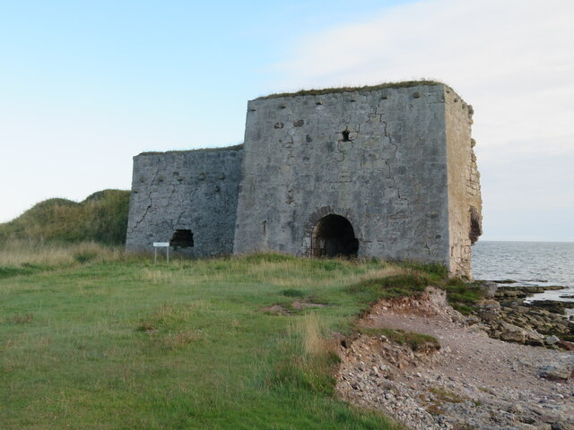
Boddin, Angus
Boddin is a coastal village in Angus, Scotland, two miles south of Montrose. There are lime kilns at Boddin Point. == References ==
Scurdie Ness
Scurdie Ness is a headland located on the South side of the River South Esk estuary, Montrose, Angus, Scotland. The River leads from the North Sea into...
River South Esk
Note: the southern headwater of the River Esk in Lothian is also known as the South Esk.The South Esk (Scottish Gaelic: Easg Dheas) is a river in Angus...

Montrose railway station (Caledonian Railway)
Montrose railway station was opened on 1 February 1848 by the Aberdeen Railway as a terminus of a short branch from Dubton Junction. Services initially...
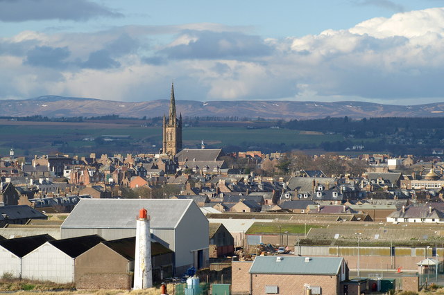
Montrose, Angus
Montrose ( mon-TROHZ; Scottish Gaelic: Mon Rois [mɔn ˈrˠɔʃ]) is a town and former royal burgh in Angus, Scotland. Situated 28 miles (45 kilometres) north...
Montrose Academy
Montrose Academy is a coeducational secondary school in Montrose Angus. The School now teaches people from ages 11–18. It became a comprehensive school...

Montrose Royal Infirmary
Montrose Royal Infirmary was a health facility in Bridge Street, Montrose, Angus, Scotland. It was managed by NHS Tayside. It is a Category A listed building...
Nearby Amenities
Located within 500m of 56.682469,-2.4474393Have you been to Broad Rock?
Leave your review of Broad Rock below (or comments, questions and feedback).