Tullybothy Craigs
Island in Fife
Scotland
Tullybothy Craigs
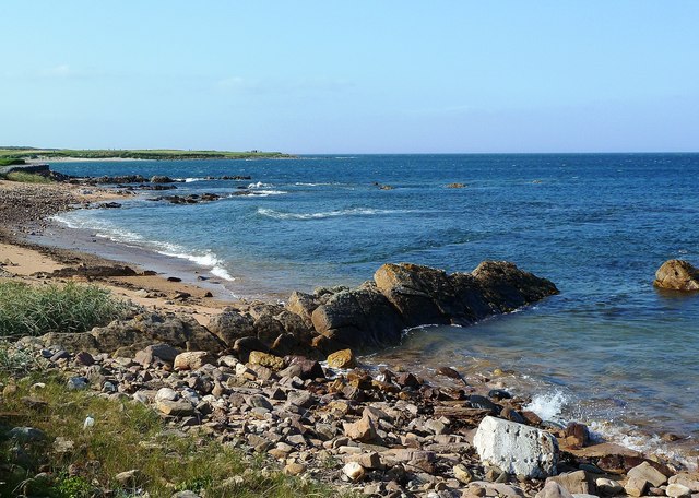
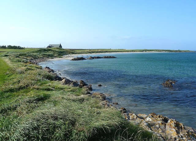
Tullybothy Craigs is a small island located in the Firth of Forth, in the county of Fife, Scotland. The island is situated approximately 5 miles east of the town of St Andrews and is known for its rugged and picturesque landscape.
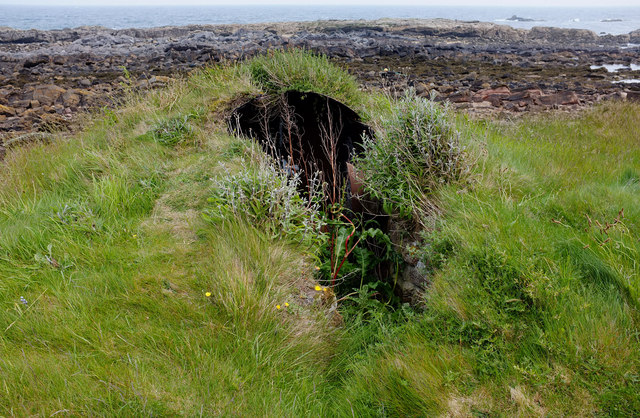
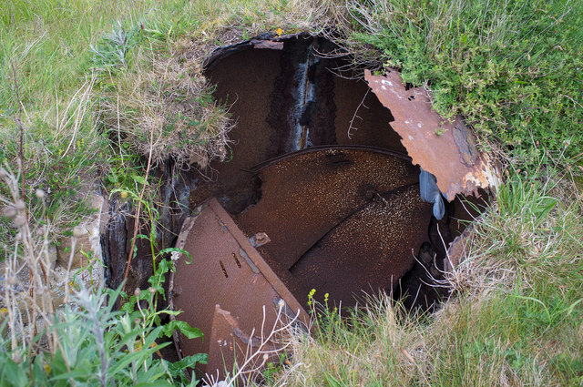
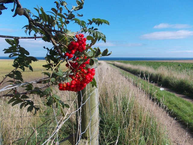
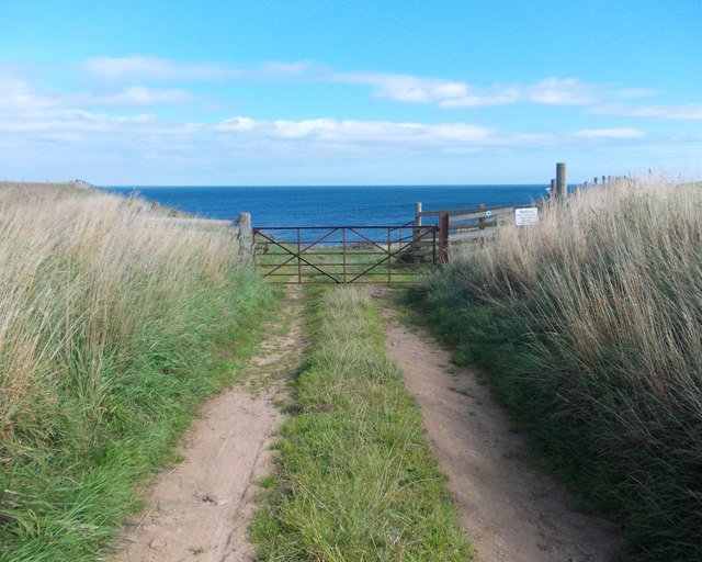
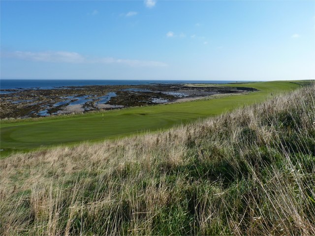
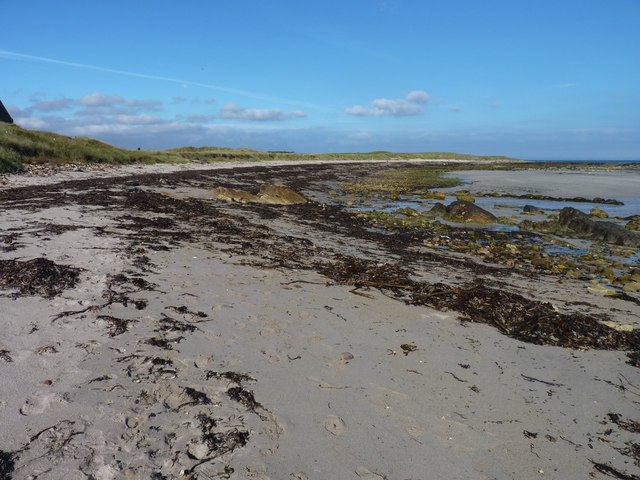
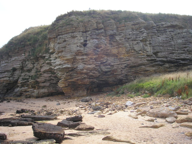
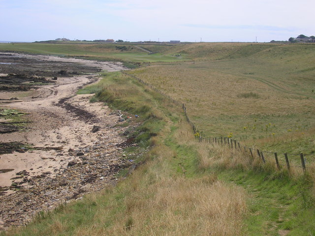
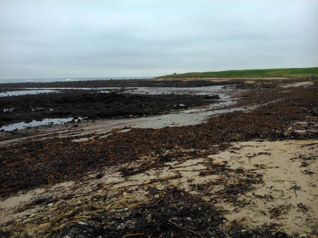
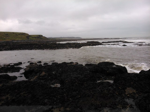
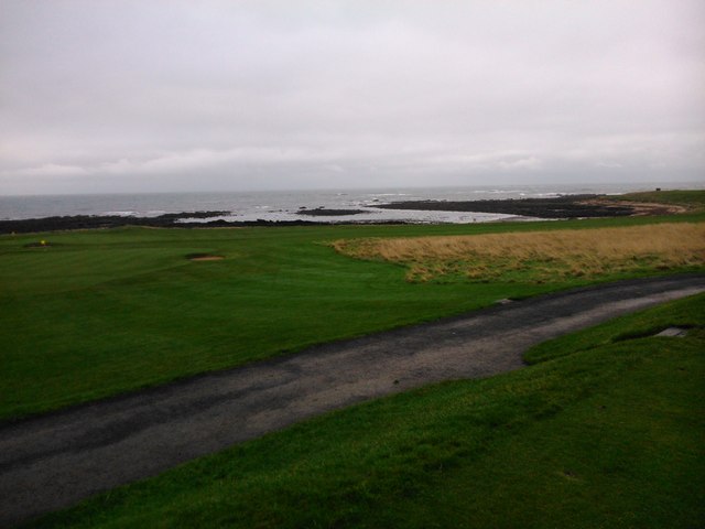
Measuring just over 0.5 square miles in area, Tullybothy Craigs is predominantly composed of rocky cliffs and grassy slopes. The island's cliffs rise to a height of up to 100 feet in some places, providing stunning panoramic views of the surrounding sea and coastline. The island is uninhabited and remains largely untouched by human activity, making it a haven for wildlife.
Tullybothy Craigs is home to a diverse range of bird species, including seabirds such as gulls, fulmars, and kittiwakes. The island's rocky shores also attract seals, which can often be seen basking on the rocks or swimming in the surrounding waters. The island's vegetation consists mainly of grasses, heather, and wildflowers, adding to its natural beauty.
Access to Tullybothy Craigs is limited due to its remote location, and there are no facilities or amenities available on the island. However, it is possible to reach the island by boat or kayak, and many visitors enjoy exploring its rugged coastline and observing the local wildlife.
Tullybothy Craigs offers a unique opportunity for nature lovers and outdoor enthusiasts to immerse themselves in a wild and unspoiled natural environment. Its stunning cliffs, diverse birdlife, and peaceful atmosphere make it a hidden gem within the Firth of Forth.
If you have any feedback on the listing, please let us know in the comments section below.
Tullybothy Craigs Images
Images are sourced within 2km of 56.288407/-2.5896002 or Grid Reference NO6310. Thanks to Geograph Open Source API. All images are credited.

Tullybothy Craigs is located at Grid Ref: NO6310 (Lat: 56.288407, Lng: -2.5896002)
Unitary Authority: Fife
Police Authority: Fife
What 3 Words
///treatable.expand.moon. Near Crail, Fife
Nearby Locations
Related Wikis

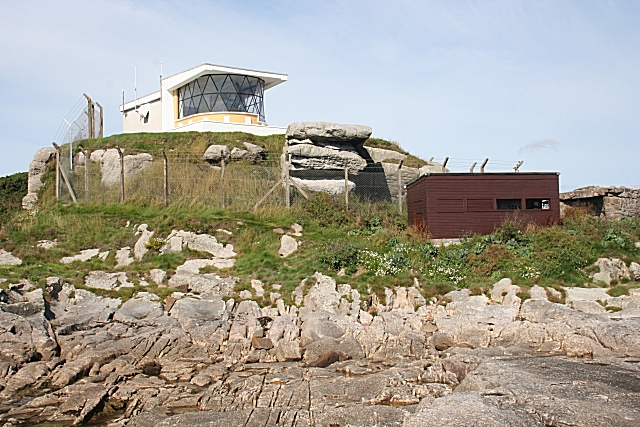
North Carr
The Carr (also known as Carr Briggs and Carr Rock) is a sandstone reef on the headland between the Firth of Forth and St Andrews Bay. There have been many...
Fife Ness
Fife Ness (Scottish Gaelic: Rubha Fiobha) is a headland forming the most eastern point in Fife, Scotland. Anciently the area was called Muck Ross, which...

RNAS Crail (HMS Jackdaw)
Royal Naval Air Station Crail (RNAS Crail, also known as HMS Jackdaw) is a former Royal Naval Air Station of the Fleet Air Arm located 4.9 miles (7.9 km...
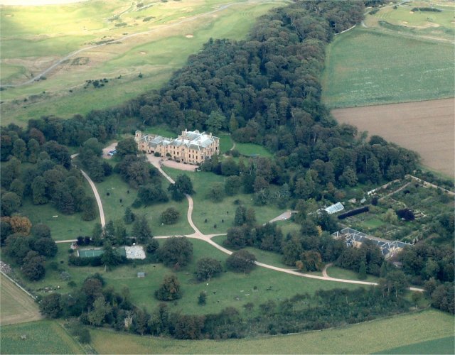
Cambo Estate
Cambo Estate lies close to the village of Kingsbarns in north-east Fife, Scotland. It is within the East Neuk, 10 kilometres (6.2 mi) south-east of St...

Crail Parish Church
Crail Parish Church is an ancient church building in Crail, Fife, Scotland. It is Category A listed, its oldest part dating to the 12th century. The walls...
2017 Women's British Open
The 2017 Ricoh Women's British Open was played 3–6 August in Scotland at Kingsbarns Golf Links in Fife. It was the 41st Women's British Open, the 17th...

Kingsbarns Golf Links
Kingsbarns Golf Links is a seaside Scottish links golf course along 1.8 miles of shoreline near St Andrews, Scotland. It opened in 2000 and has been rated...

Crail Tolbooth and Town Hall
Crail Tolbooth and Town Hall is a municipal structure in Crail, Fife, Scotland. The building, which stands in Marketgate, at its junction with Tolbooth...
Have you been to Tullybothy Craigs?
Leave your review of Tullybothy Craigs below (or comments, questions and feedback).