Inner Lead
Sea, Estuary, Creek in Fife
Scotland
Inner Lead
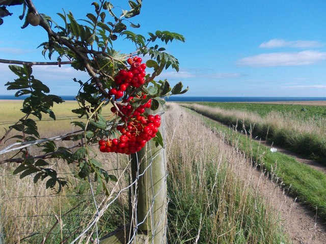
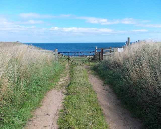
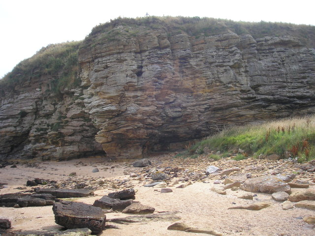
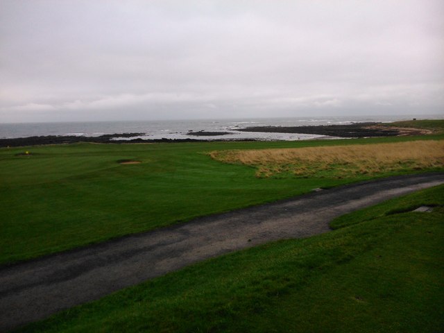
Inner Lead is a small coastal area located in the region of Fife, Scotland. It is characterized by its stunning views of the sea, estuary, and creek that make it a popular destination for both locals and tourists alike.
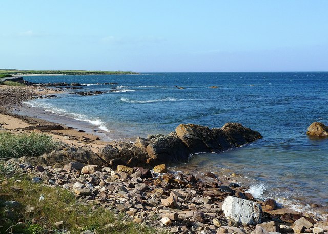
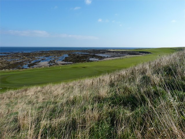
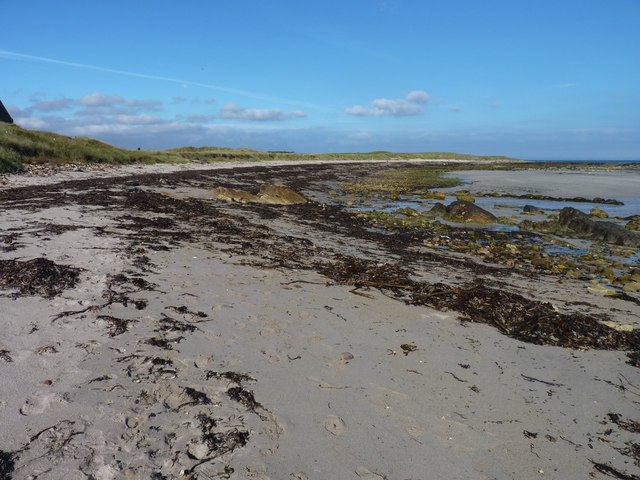
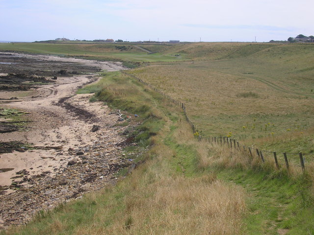
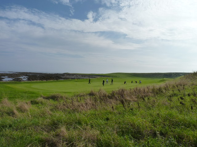
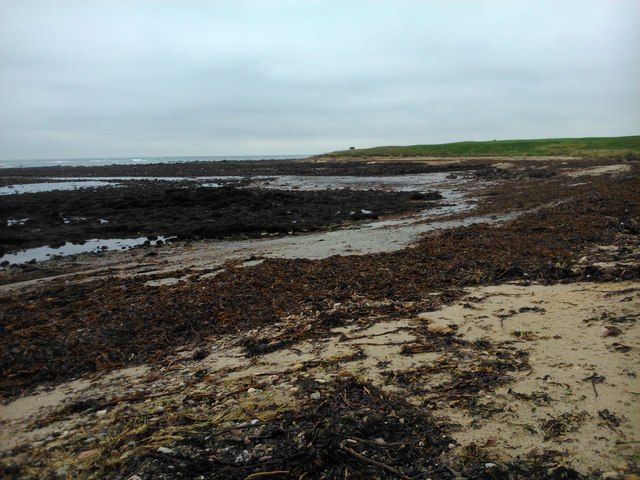
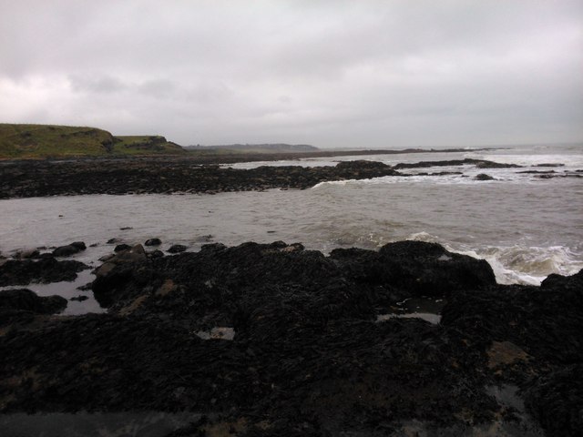
The area is situated on the eastern coast of Scotland, overlooking the North Sea. Its proximity to the sea offers visitors the opportunity to enjoy breathtaking panoramic views of the vast water expanse, with its ever-changing colors and moods. The sea here is known for its rough waves and strong currents, making it a haven for water sports enthusiasts, particularly surfers and sailors.
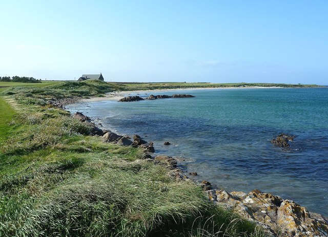
Inner Lead is also home to a picturesque estuary, where a river meets the sea. The estuary provides a unique habitat for a diverse range of flora and fauna, making it an ideal spot for nature lovers and birdwatchers. Visitors can observe various bird species, including herons, wading birds, and ducks, as they navigate the estuary's shallow waters.
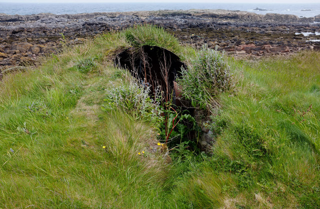
A creek can also be found in Inner Lead, winding its way through the landscape. The creek offers tranquil settings, with its calm waters and lush surroundings, providing a peaceful escape from the hustle and bustle of city life.
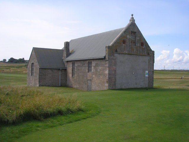
Overall, Inner Lead in Fife is a coastal gem, offering a combination of breathtaking sea views, a diverse estuary ecosystem, and a tranquil creek. It is a place where visitors can immerse themselves in nature, enjoy outdoor activities, and experience the beauty of Scotland's coastline.
If you have any feedback on the listing, please let us know in the comments section below.
Inner Lead Images
Images are sourced within 2km of 56.286849/-2.5903677 or Grid Reference NO6310. Thanks to Geograph Open Source API. All images are credited.

Inner Lead is located at Grid Ref: NO6310 (Lat: 56.286849, Lng: -2.5903677)
Unitary Authority: Fife
Police Authority: Fife
What 3 Words
///lion.confused.songbook. Near Crail, Fife
Nearby Locations
Related Wikis

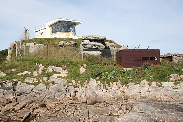
North Carr
The Carr (also known as Carr Briggs and Carr Rock) is a sandstone reef on the headland between the Firth of Forth and St Andrews Bay. There have been many...
Fife Ness
Fife Ness (Scottish Gaelic: Rubha Fiobha) is a headland forming the most eastern point in Fife, Scotland. Anciently the area was called Muck Ross, which...

RNAS Crail (HMS Jackdaw)
Royal Naval Air Station Crail (RNAS Crail, also known as HMS Jackdaw) is a former Royal Naval Air Station of the Fleet Air Arm located 4.9 miles (7.9 km...
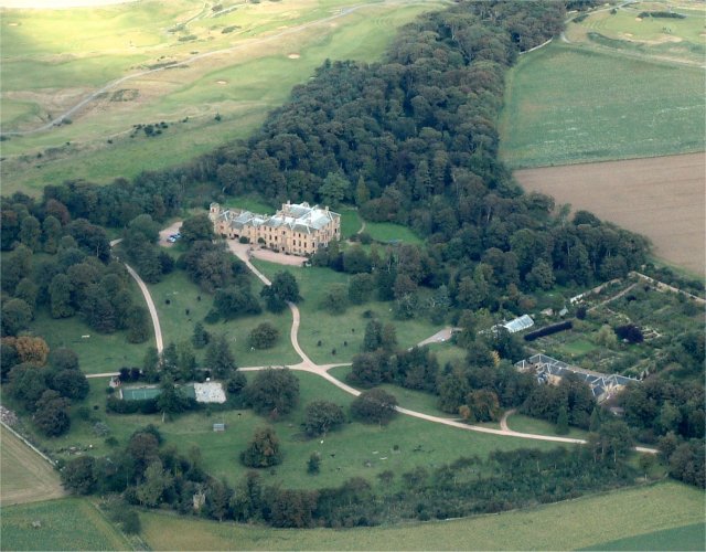
Cambo Estate
Cambo Estate lies close to the village of Kingsbarns in north-east Fife, Scotland. It is within the East Neuk, 10 kilometres (6.2 mi) south-east of St...

Crail Parish Church
Crail Parish Church is an ancient church building in Crail, Fife, Scotland. It is Category A listed, its oldest part dating to the 12th century. The walls...

Crail Tolbooth and Town Hall
Crail Tolbooth and Town Hall is a municipal structure in Crail, Fife, Scotland. The building, which stands in Marketgate, at its junction with Tolbooth...

Crail
Crail (); Scottish Gaelic: Cathair Aile) is a former royal burgh, parish and community council area (Royal Burgh of Crail and District) in the East Neuk...

Golf Hotel
The Golf Hotel is a hotel and restaurant in Crail, Fife, Scotland. It is a Category A listed building dating to the early 18th century, although one source...
Have you been to Inner Lead?
Leave your review of Inner Lead below (or comments, questions and feedback).