Craig Hartle

Island in Fife

Scotland

Craig Hartle

Deep furrows Preparing for potatoes at Boghall farm.
Deep furrows Credit: James Allan

Craig Hartle is a small island located in the Firth of Forth, off the coast of Fife, Scotland. With an area of about 0.6 hectares, it is one of the many islands in the region. Geographically, Craig Hartle is positioned approximately 1.5 kilometers east of the town of Aberdour and around 14 kilometers north of Edinburgh.

The island stands out for its distinct rugged and rocky landscape, with steep cliffs rising from the surrounding sea. It is predominantly composed of basalt, a volcanic rock, which adds to its scenic beauty. The vegetation on Craig Hartle is sparse and consists mainly of grasses and low-lying shrubs.

In terms of wildlife, the island is known to be a haven for various seabird species. Visitors can catch glimpses of colonies of gulls, cormorants, and other seabirds nesting on the cliffs. The surrounding waters are also home to seals, which can often be seen basking on the rocks or swimming in the sea.

While the island itself is uninhabited and lacks any infrastructure or facilities, it holds a certain allure for those seeking tranquility and natural beauty. Many visitors enjoy exploring the island's rocky shoreline, observing the wildlife, and taking in the stunning views of the Firth of Forth and the surrounding coastline.

Access to Craig Hartle is limited, as it is only accessible by boat. However, it is often included in boat tours departing from nearby towns, allowing visitors the opportunity to experience this small yet captivating island.

If you have any feedback on the listing, please let us know in the comments section below.
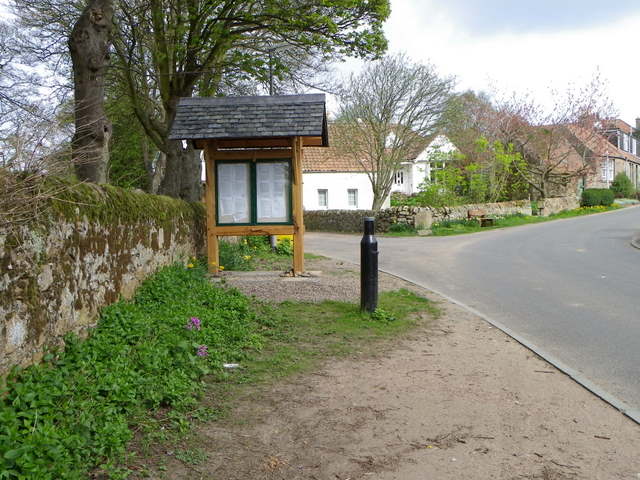
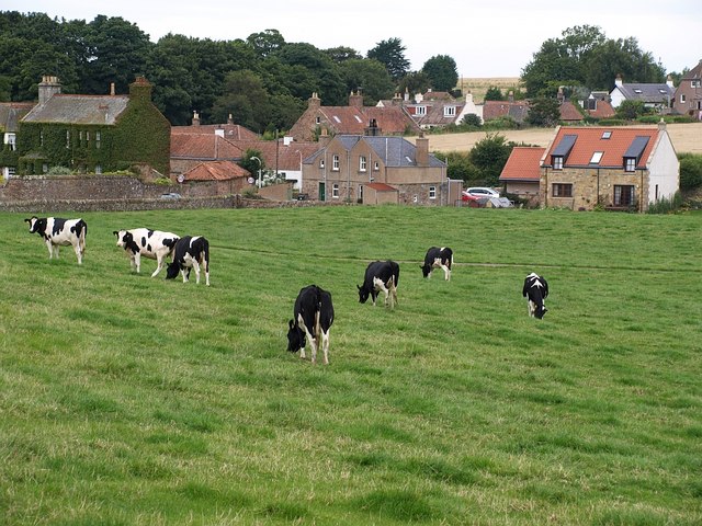
Craig Hartle Images

Images are sourced within 2km of 56.324521/-2.6796232 or Grid Reference NO5814. Thanks to Geograph Open Source API. All images are credited.

Deep furrows Preparing for potatoes at Boghall farm.
Deep furrows
Preparing for potatoes at Boghall farm.
Wee red hut and big green one Two weather-beaten decrepit huts of indeterminate purpose beside the Fife Coastal Path near Boghall farm.
Wee red hut and big green one
Two weather-beaten decrepit huts of indeterminate purpose beside the Fife Coastal Path near Boghall farm.
Golden sands Between Airbow Point and Babbet Ness on the Fife Coastal Path.
Golden sands
Between Airbow Point and Babbet Ness on the Fife Coastal Path.
Single file path Near Babbet Ness the Fife Coastal Path narrows and becomes in places vestigial.
Single file path
Near Babbet Ness the Fife Coastal Path narrows and becomes in places vestigial.
Rocky foreshore Near Babbet Ness.
Rocky foreshore
Near Babbet Ness.
Shattered sedimentary rock Broken sandstone blocks alongside the Fife Coastal Path near Babbet Ness.
Shattered sedimentary rock
Broken sandstone blocks alongside the Fife Coastal Path near Babbet Ness.
Incoming tide North of Airbow Point.
Incoming tide
North of Airbow Point.
Leave nothing but footprints ... take nothing but photographs. Several people had walked this section of the Fife Coastal Path near Airbow Point before me today.
Leave nothing but footprints
... take nothing but photographs. Several people had walked this section of the Fife Coastal Path near Airbow Point before me today.
Near Buddo Ness North Sea coastline, with Buddo Rock on the right.
Near Buddo Ness
North Sea coastline, with Buddo Rock on the right.
Coastal rocks Near Buddo Rock.
Coastal rocks
Near Buddo Rock.
Buddo Rock Seen from the top of former sea cliffs on the edge of Kittock's golf course.
Buddo Rock
Seen from the top of former sea cliffs on the edge of Kittock's golf course.
Junction, Kenlygreen Cottages The minor road joins A917.  There is an Ordnance Survey bench mark on the corner of the cottages.
Junction, Kenlygreen Cottages
The minor road joins A917. There is an Ordnance Survey bench mark on the corner of the cottages.
Bench Mark, Kenlygreen Cottages The Ordnance Survey bench mark is to be found on the south face of the building.  For a view of the building <a href="https://www.geograph.org.uk/photo/2756296">NO5613 : Junction, Kenlygreen Cottages</a> and for further information on the cut mark and others in the area <span class="nowrap"><a title="http://www.bench-marks.org.uk/bm40867" rel="nofollow ugc noopener" href="http://www.bench-marks.org.uk/bm40867">Link</a><img style="margin-left:2px;" alt="External link" title="External link - shift click to open in new window" src="https://s1.geograph.org.uk/img/external.png" width="10" height="10"/></span>
Bench Mark, Kenlygreen Cottages
The Ordnance Survey bench mark is to be found on the south face of the building. For a view of the building NO5613 : Junction, Kenlygreen Cottages and for further information on the cut mark and others in the area LinkExternal link
Village scene, Boarhills Boarhills is a small hamlet situated near the sea on the East Neuk.
Village scene, Boarhills
Boarhills is a small hamlet situated near the sea on the East Neuk.
Honesty, Boarhills Honesty is a plant best known for its seed cases rather than its flowers.
Honesty, Boarhills
Honesty is a plant best known for its seed cases rather than its flowers.
Greater Periwinkle, Boarhills (Vinca major)

The plant produces large violet-blue flowers from April to June and the plant roots easily from the tips of the stems.  In folklore it represents eternal life and fidelity like all deciduous plants and it was also valued as a protection against witches and magicians.
Greater Periwinkle, Boarhills
(Vinca major) The plant produces large violet-blue flowers from April to June and the plant roots easily from the tips of the stems. In folklore it represents eternal life and fidelity like all deciduous plants and it was also valued as a protection against witches and magicians.
Memorial seat, Boarhills The seat is dedicated to Marjorie Wilson (1920-2004).
Memorial seat, Boarhills
The seat is dedicated to Marjorie Wilson (1920-2004).
Track near Boarhills The tracks heads towards Burnside Farm.
Track near Boarhills
The tracks heads towards Burnside Farm.
Show me another place!

Craig Hartle is located at Grid Ref: NO5814 (Lat: 56.324521, Lng: -2.6796232)

Unitary Authority: Fife

Police Authority: Fife

What 3 Words

///tune.blogging.arena. Near St Andrews, Fife

Nearby Locations

Craig Hartle Salt Lake

Related Wikis

Boarhills

Boarhills is a hamlet close to Kingsbarns in the East Neuk of Fife, Scotland. It is located off the A917 road, 4+1⁄2 miles (7 km) from St Andrews and 5...

Boarhills railway station

Boarhills railway station served the hamlet of Boarhills, Fife, Scotland from 1883 to 1930 on the Anstruther and St Andrews Railway. == History == The...

Kingsbarns

Kingsbarns is a village and parish in Scotland lies near the eastern coast of Fife, in an area known as the East Neuk, 6.5 miles (10.5 km) southeast of...

Fairmont St Andrews

The Fairmont St Andrews Bay is a 5-star resort hotel situated 2 miles (3.2 km) outside the town of St. Andrews in Fife, Scotland. The hotel is managed...

Have you been to Craig Hartle?

Leave your review of Craig Hartle below (or comments, questions and feedback).