Basket Rock
Island in Fife
Scotland
Basket Rock
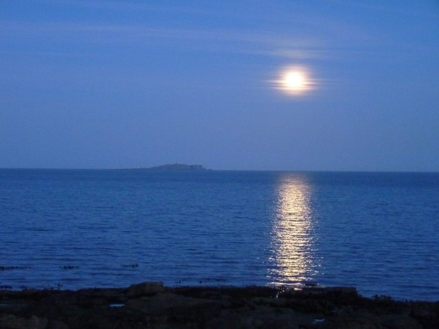
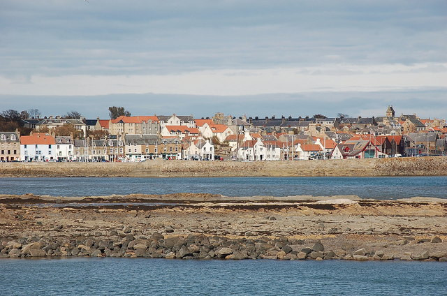
Basket Rock is a small island located in the Firth of Forth, in Fife, Scotland. It is situated approximately 2 kilometers off the coast of the town of St. Monans. The island gets its name from its distinctive shape, which resembles an upturned basket.
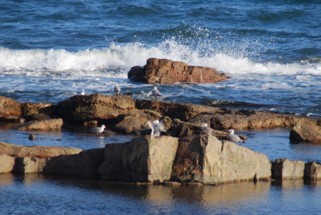
Measuring around 50 meters in length and 30 meters in width, Basket Rock is composed of solid sandstone, with a jagged and rugged surface. It stands approximately 10 meters above the sea level, making it a notable landmark in the area. The island is uninhabited and lacks any vegetation, except for some sparse grass and moss.
Due to its location and unique appearance, Basket Rock has become a popular spot for wildlife enthusiasts and birdwatchers. It serves as a nesting site for various seabirds, including kittiwakes and puffins, which can be observed during the breeding season. The surrounding waters are also known for their diverse marine life, including seals and occasionally dolphins.
Access to Basket Rock is limited and can be challenging, especially during high tide when the island is completely submerged. However, during low tide, it is possible to walk across a rocky causeway that connects the island to the mainland. Visitors are advised to check the tide times to ensure a safe visit.
Overall, Basket Rock is a unique and picturesque island that offers a glimpse into the rich biodiversity of the Firth of Forth. Its distinctive shape and abundant wildlife make it a must-visit destination for nature lovers in Fife.
If you have any feedback on the listing, please let us know in the comments section below.
Basket Rock Images
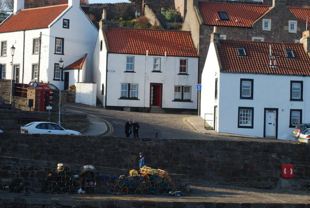
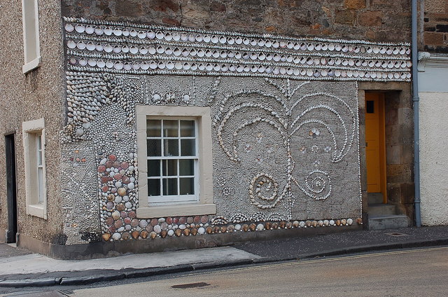
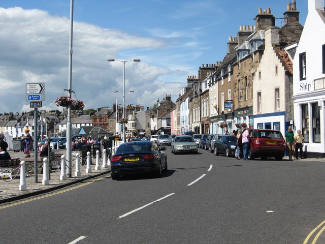
Images are sourced within 2km of 56.229362/-2.6754692 or Grid Reference NO5804. Thanks to Geograph Open Source API. All images are credited.


Basket Rock is located at Grid Ref: NO5804 (Lat: 56.229362, Lng: -2.6754692)
Unitary Authority: Fife
Police Authority: Fife
What 3 Words
///massive.culling.enjoy. Near Anstruther, Fife
Nearby Locations
Related Wikis

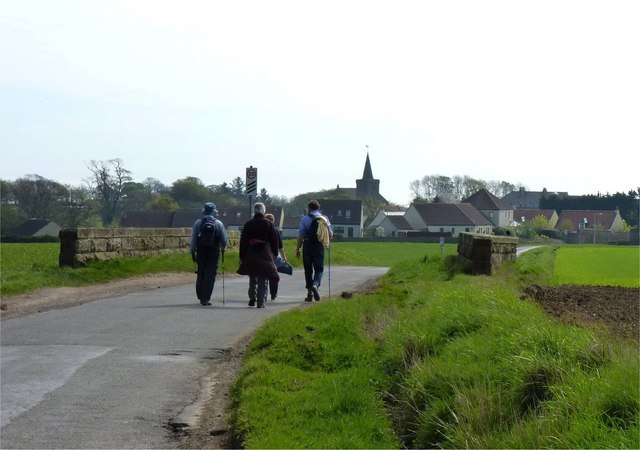
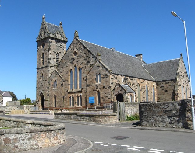
Kilrenny
Kilrenny (Scottish Gaelic: Cill Reithnidh) is a village in Fife, Scotland. Part of the East Neuk, it lies immediately to the north of (but inland and separate...

Kilrenny, Anstruther Easter and Anstruther Wester
Kilrenny, Anstruther Easter and Anstruther Wester was a royal and small burgh in Fife, Scotland from 1930 to 1975. The burgh was formed by the amalgamation...

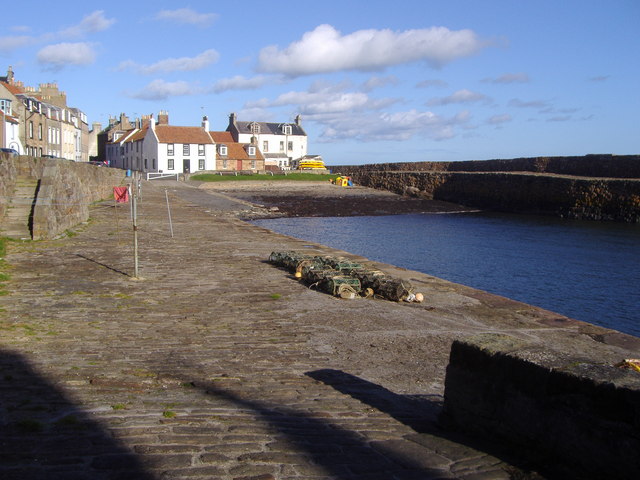
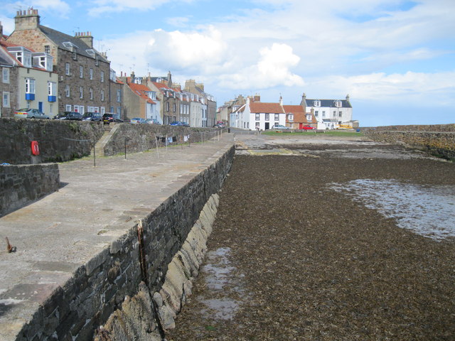
Cellardyke
Cellardyke is a village in the East Neuk of Fife, Scotland. The village is to the immediate east of Anstruther (the two effectively being conjoined) and...

Cellardyke Town Hall
Cellardyke Town Hall is a municipal structure in Tolbooth Wynd, Cellardyke, Fife, Scotland. The building accommodates a local history museum and is also...
Nearby Amenities
Located within 500m of 56.229362,-2.6754692Have you been to Basket Rock?
Leave your review of Basket Rock below (or comments, questions and feedback).