Bow Rock
Island in Banffshire
Scotland
Bow Rock

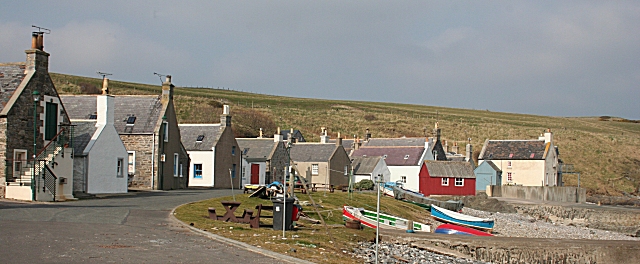
Bow Rock is a small uninhabited island located off the northeastern coast of Scotland in Banffshire, situated in the Moray Firth. With its coordinates at 57.672°N latitude and 2.678°W longitude, it spans an area of around 0.2 hectares and is composed mainly of rugged rocks and vegetation.
The island is named after its distinctive bow-shaped rock formation that rises prominently from the surrounding sea. This natural landmark is a result of millions of years of erosion by wind, waves, and ice. The rock showcases various layers, displaying the geological history of the area.
Bow Rock is a popular site for birdwatchers and nature enthusiasts, as it serves as a vital breeding ground for a variety of seabirds. Visitors often spot species such as razorbills, guillemots, puffins, and kittiwakes nesting on the rocky cliffs. The surrounding waters are also frequented by seals and dolphins, adding to the island's appeal.
Access to Bow Rock is limited due to its small size and lack of human infrastructure. However, boat tours and wildlife excursions from nearby coastal towns like Buckie or Lossiemouth provide opportunities for visitors to catch a glimpse of this natural wonder. It is important to note that the island is protected as a part of a designated nature reserve, ensuring the preservation of its unique ecosystem.
Overall, Bow Rock stands as a testament to the beauty and diversity of Scotland's coastal landscapes, offering a glimpse into the region's geological and ecological significance.
If you have any feedback on the listing, please let us know in the comments section below.
Bow Rock Images
Images are sourced within 2km of 57.691828/-2.7113574 or Grid Reference NJ5767. Thanks to Geograph Open Source API. All images are credited.


Bow Rock is located at Grid Ref: NJ5767 (Lat: 57.691828, Lng: -2.7113574)
Unitary Authority: Aberdeenshire
Police Authority: North East
What 3 Words
///producing.retina.tripped. Near Portsoy, Aberdeenshire
Nearby Locations
Related Wikis
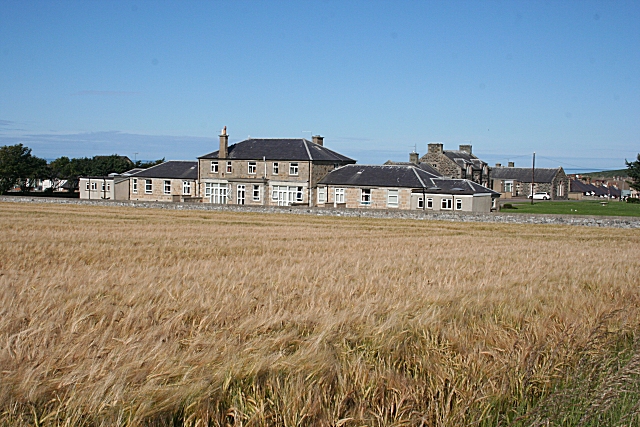
Campbell Hospital, Portsoy
Campbell Hospital was a National Health Service hospital in Portsoy, Aberdeenshire, Scotland. It was administered by NHS Grampian. == History == The hospital...
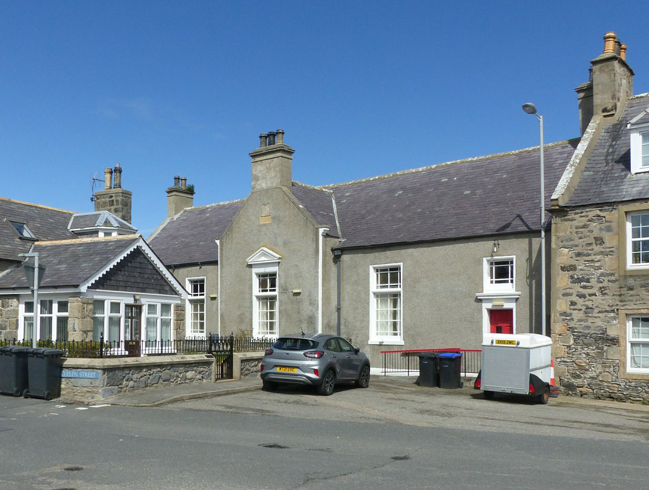
Old Town Hall, Portsoy
The Old Town Hall is a municipal building on the north side of The Square in Portsoy, Aberdeenshire, Scotland. The structure, which is used for religious...
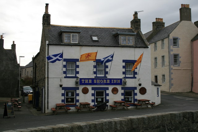
Shore Inn
The Shore Inn is a public house in Portsoy, Aberdeenshire, Scotland. Dating to the mid-18th century, it is now a Category C listed building. It is two...

Portsoy
Portsoy (Scottish Gaelic: Port Saoidh) is a village in Aberdeenshire, Scotland. Historically, Portsoy was in Banffshire. The original name may come from...

Portsoy railway station
Portsoy railway station was a railway station in Portsoy, in current day Aberdeenshire. Opened in 1859 by the Banff, Portsoy and Strathisla Railway, it...
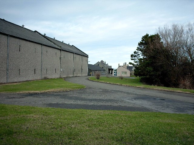
Glenglassaugh distillery
Glenglassaugh distillery is a malt scotch whisky distillery which restarted production in November 2008 after being acquired by an independent investment...

Glassaugh railway station
Glassaugh railway station was a railway station that served the rural area of Glassaugh and the nearby Glenglassaugh distillery close to Portsoy in Moray...
Sandend
Sandend (Scots: Sanine) is a small fishing village near Banff and Portsoy, Scotland, typical of the area. It was "a considerable seatown as early as 1624...
Nearby Amenities
Located within 500m of 57.691828,-2.7113574Have you been to Bow Rock?
Leave your review of Bow Rock below (or comments, questions and feedback).