Beacon Rock
Island in Fife
Scotland
Beacon Rock

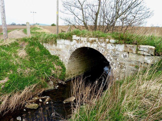
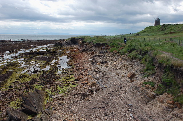
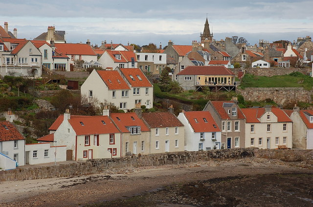
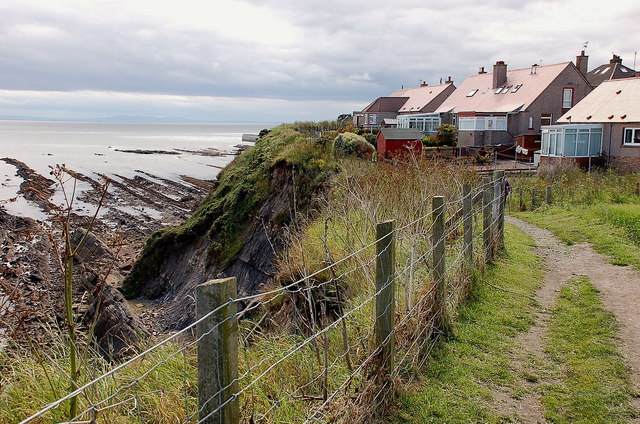
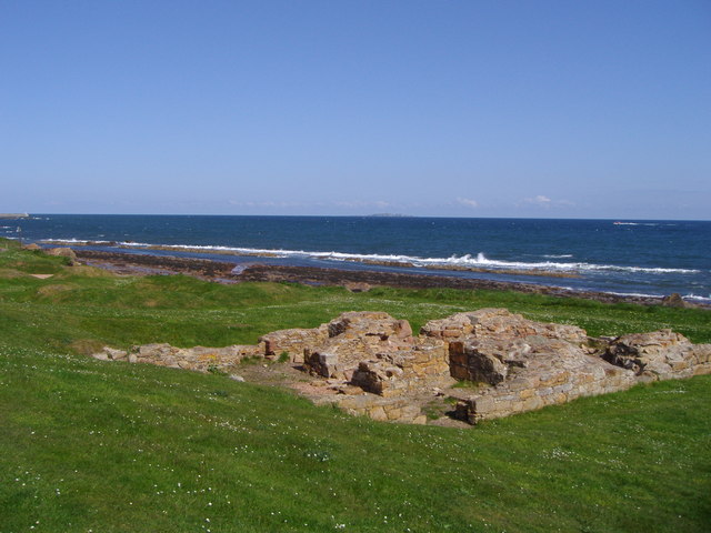
Beacon Rock is a small but prominent landmark located on the Fife coastline in Scotland. It is situated on a small island known as Beacon Rock Island, located in the Firth of Forth. The island is accessible by foot during low tide, but at high tide, it becomes completely surrounded by water.
The rock itself stands at an impressive height of approximately 100 feet (30 meters) and is composed of volcanic dolerite rock. It is believed to have formed millions of years ago during a volcanic eruption. Over time, erosion and weathering have shaped the rock into its distinctive form.
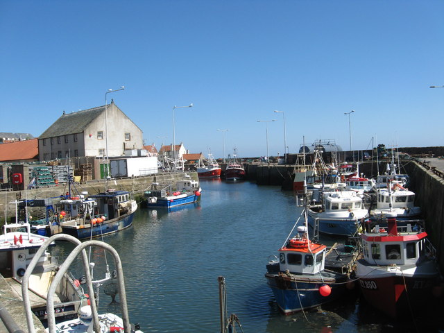
The island and the rock have been of significant importance throughout history. In the past, Beacon Rock served as a navigational aid for ships entering the Firth of Forth. It was used as a beacon to guide vessels safely through the treacherous waters. The rock also had a small lighthouse on its summit, which further aided in navigation.
Today, Beacon Rock Island and the rock itself are popular attractions for tourists and locals alike. The island offers stunning views of the surrounding coastline, and visitors can enjoy birdwatching and exploring the rock's unique geological features. However, due to its status as a protected site, climbing the rock is prohibited to preserve its natural state.
In conclusion, Beacon Rock is a notable landmark on the Fife coastline. With its geological significance and historical importance, it continues to be a captivating destination for those interested in Scotland's natural beauty and maritime heritage.
If you have any feedback on the listing, please let us know in the comments section below.
Beacon Rock Images
Images are sourced within 2km of 56.210841/-2.7297962 or Grid Reference NO5402. Thanks to Geograph Open Source API. All images are credited.


Beacon Rock is located at Grid Ref: NO5402 (Lat: 56.210841, Lng: -2.7297962)
Unitary Authority: Fife
Police Authority: Fife
What 3 Words
///breed.extra.stirs. Near Pittenweem, Fife
Nearby Locations
Related Wikis

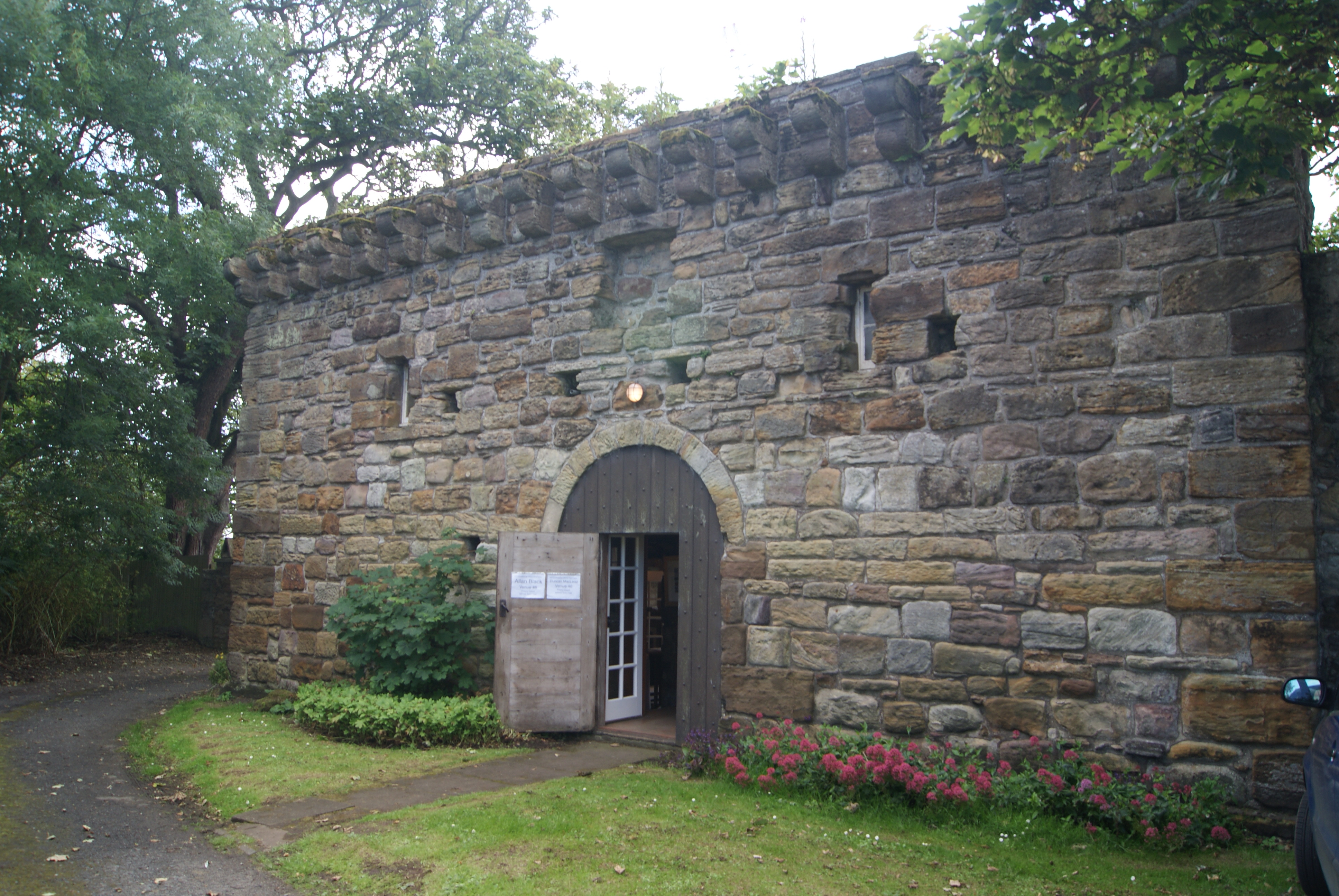
Kellie Lodge
Kellie Lodge is a building in Pittenweem, Fife, Scotland. Located at 23 High Street, it is Category A listed.Some of the three-storey building dates to...
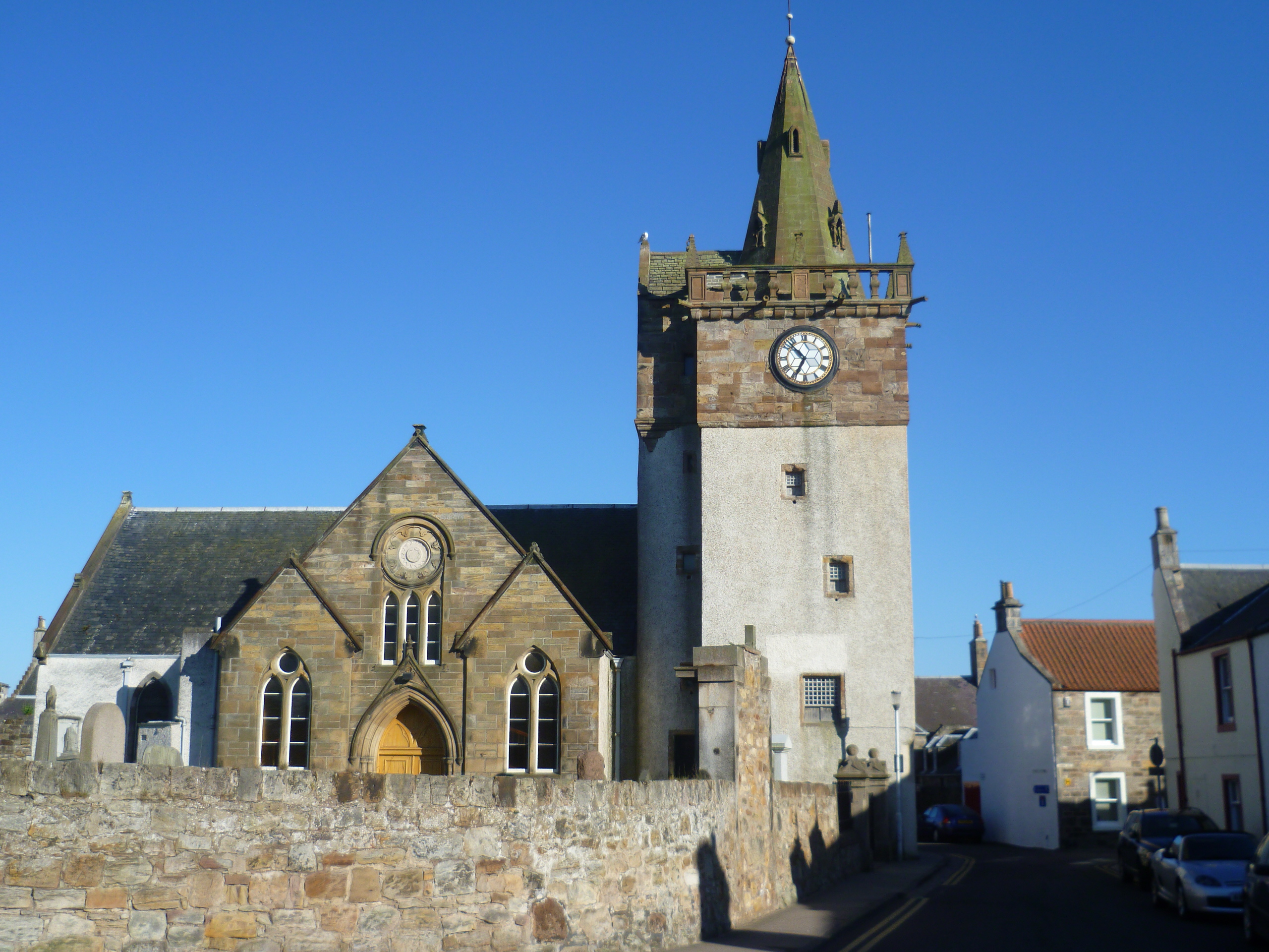
Pittenweem Parish Church and Tolbooth Steeple
Pittenweem Parish Church and Tolbooth Steeple is an ecclesiastical and municipal complex in the High Street, Pittenweem, Fife, Scotland. The structure...

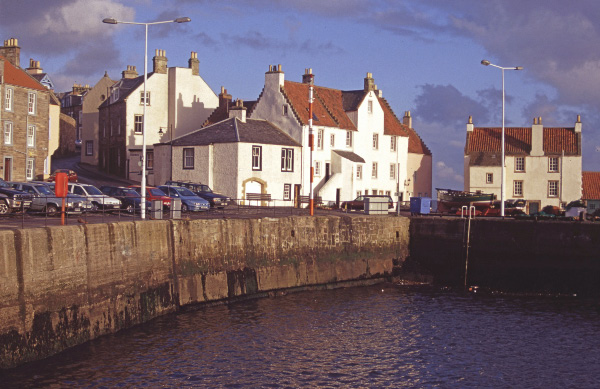
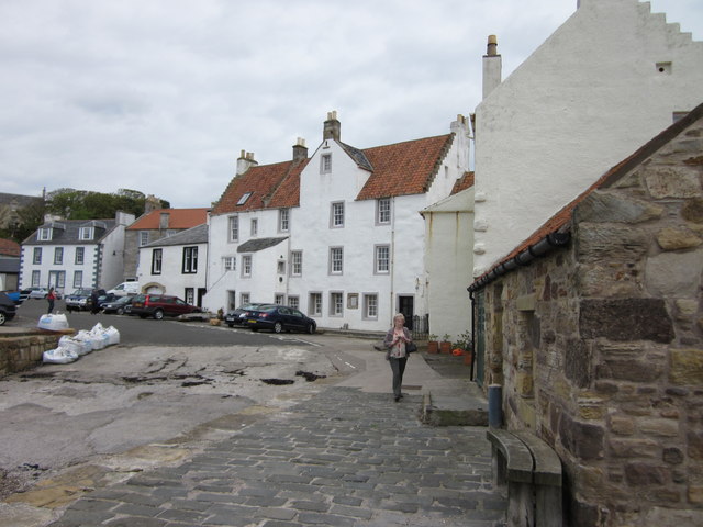
Pittenweem
Pittenweem ( ) is a fishing village and civil parish in Fife, on the east coast of Scotland. At the 2001 census, it had a population of 1,747. == Etymology... ==
Pittenweem Priory
Pittenweem Priory was an Augustinian priory located in the village of Pittenweem, Fife, Scotland. == History == The 6th century religious recluse St Monan...

Pittenweem railway station
Pittenweem railway station served the village of Pittenweem, Fife, Scotland from 1863 to 1965 on the Fife Coast Railway. == History == The station opened...
Anstruther railway station
Anstruther railway station served the village of Anstruther, Fife, in Scotland. Served by the Leven and East of Fife Railway it was opened in 1863. �...

Dreel Halls
Dreel Halls is a municipal complex in Elizabeth Place, Anstruther Wester, Fife, Scotland. The complex, which is used as a community events venue, consists...

Anstruther
Anstruther (Scots: Ainster or Enster ; Scottish Gaelic: Ànsruthair) is a small coastal resort town in Fife, Scotland, situated on the north-shore of...
Nearby Amenities
Located within 500m of 56.210841,-2.7297962Have you been to Beacon Rock?
Leave your review of Beacon Rock below (or comments, questions and feedback).