Craiganteugh
Island in East Lothian
Scotland
Craiganteugh
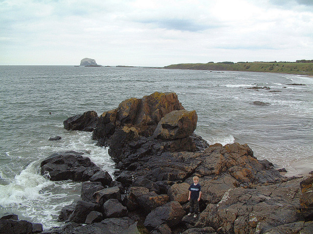
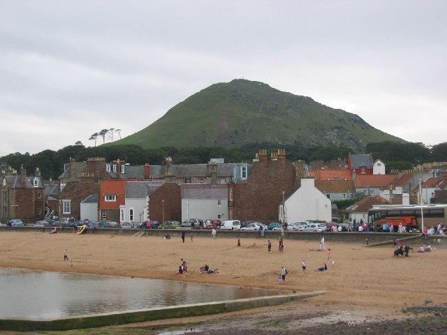
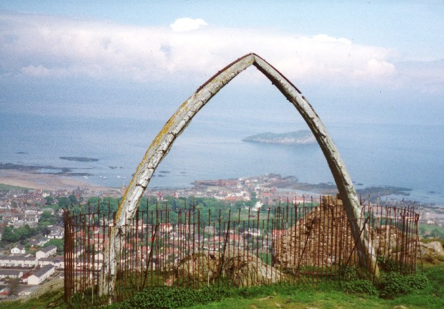
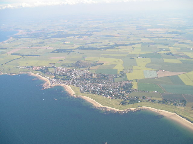
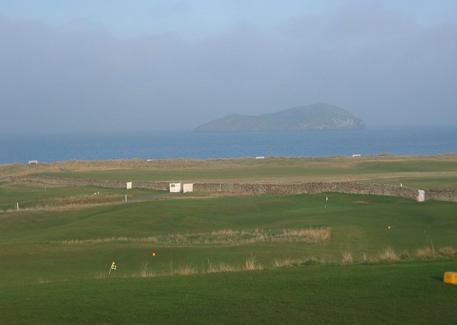
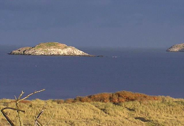
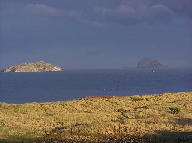
Craiganteugh is a small island located in East Lothian, Scotland. It is situated off the coast of the town of North Berwick and is only accessible by boat. The island is approximately 1.5 hectares in size and is known for its rugged coastline and stunning views of the surrounding area.
The island is uninhabited and is primarily used for grazing livestock. It is home to a variety of bird species, including puffins, guillemots, and cormorants, making it a popular spot for birdwatchers. The rocky cliffs and sea caves on the island also attract climbers and adventurers looking for a challenge.
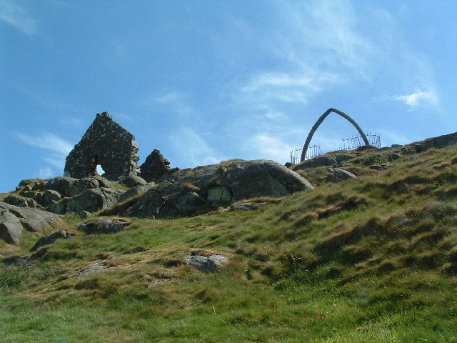
Craiganteugh has a rich history, with evidence of human occupation dating back to the Iron Age. The island was once used as a defensive stronghold and has the ruins of an ancient fort that visitors can explore. Today, it is a peaceful and secluded spot for those looking to escape the hustle and bustle of everyday life.
Overall, Craiganteugh is a hidden gem in East Lothian, offering visitors a chance to experience the natural beauty and tranquility of Scotland's coastline.
If you have any feedback on the listing, please let us know in the comments section below.
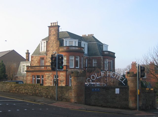
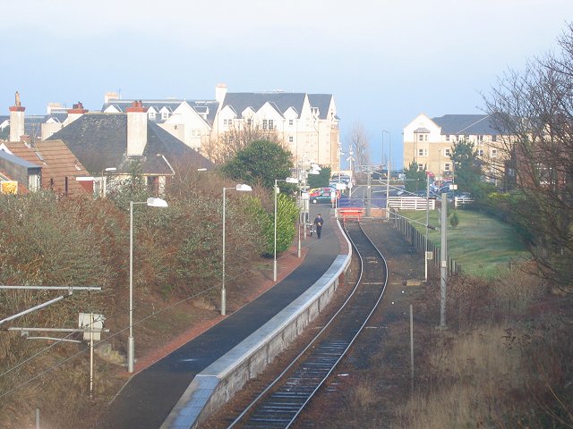
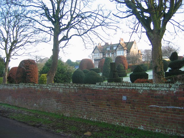
Craiganteugh Images
Images are sourced within 2km of 56.064302/-2.7264143 or Grid Reference NT5485. Thanks to Geograph Open Source API. All images are credited.
Craiganteugh is located at Grid Ref: NT5485 (Lat: 56.064302, Lng: -2.7264143)
Unitary Authority: East Lothian
Police Authority: The Lothians and Scottish Borders
What 3 Words
///lilac.consoles.showcase. Near North Berwick, East Lothian
Nearby Locations
Related Wikis

North Berwick Harbour
The Harbour at North Berwick in East Lothian, Scotland, was originally a ferry port for pilgrims travelling to St Andrews in Fife. Today the water is home...
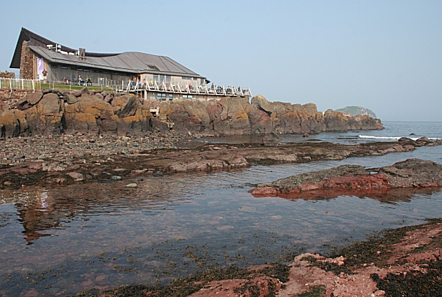
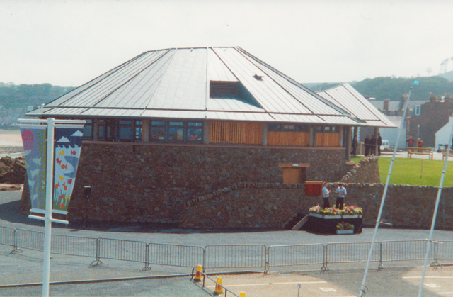
Scottish Seabird Centre
The Scottish Seabird Centre is a marine conservation and education charity, that is supported by an award-winning visitor attraction in North Berwick,...
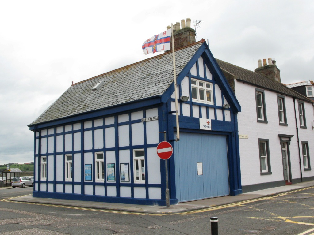
North Berwick Lifeboat Station
North Berwick Lifeboat Station is a Royal National Lifeboat Institution (RNLI) marine-rescue facility in North Berwick, East Lothian, Scotland. The RNLI...

North Berwick railway station
North Berwick railway station is a railway station serving the seaside town of North Berwick in East Lothian, Scotland. It is the terminus of the Edinburgh...
Nearby Amenities
Located within 500m of 56.064302,-2.7264143Have you been to Craiganteugh?
Leave your review of Craiganteugh below (or comments, questions and feedback).