Croft Hill
Hill, Mountain in Fife
Scotland
Croft Hill

Croft Hill is a prominent hill located in the eastern part of Fife, Scotland. Standing at an elevation of approximately 227 meters (745 feet), it is not particularly tall compared to some of the surrounding peaks, but it offers stunning panoramic views of the surrounding countryside. The hill is situated near the village of Kingskettle, about 6 kilometers (3.7 miles) southwest of Cupar.
Croft Hill is characterized by its gently sloping sides and a relatively flat summit, making it accessible to walkers of various fitness levels. It is a popular destination for outdoor enthusiasts, offering a range of activities such as hiking, hillwalking, and nature photography. The hill is crisscrossed by a network of well-maintained trails that wind through lush green meadows and woodland areas. Along the way, visitors can enjoy the sight of diverse flora and fauna, including wildflowers, birds, and occasionally, deer.
The summit of Croft Hill is adorned with a trig point, which serves as a marker for surveying purposes. From this vantage point, one can admire the breathtaking vistas of the Fife countryside, with rolling hills, scattered farms, and picturesque villages dotting the landscape. On a clear day, it is even possible to catch a glimpse of the nearby Lomond Hills and the Firth of Tay.
Overall, Croft Hill in Fife offers a delightful outdoor experience for those seeking a moderate hillwalk with stunning views. Its accessibility, natural beauty, and peaceful ambiance make it a popular destination for locals and visitors alike.
If you have any feedback on the listing, please let us know in the comments section below.
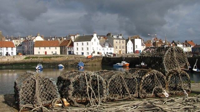
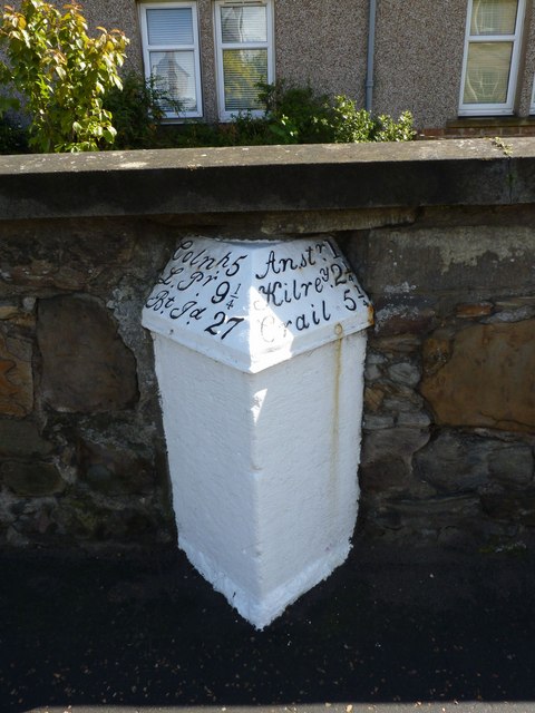
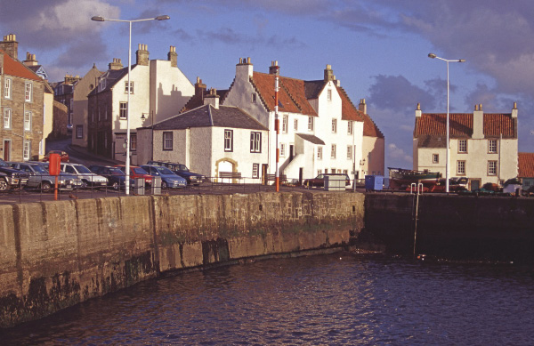
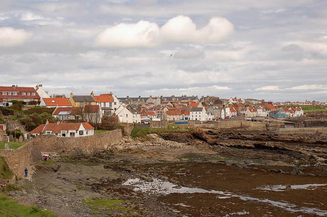
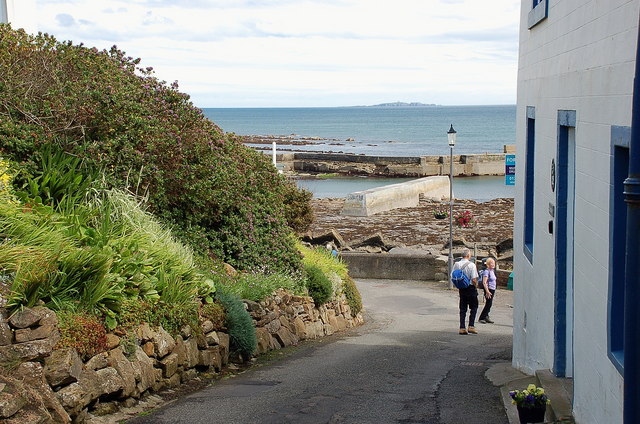
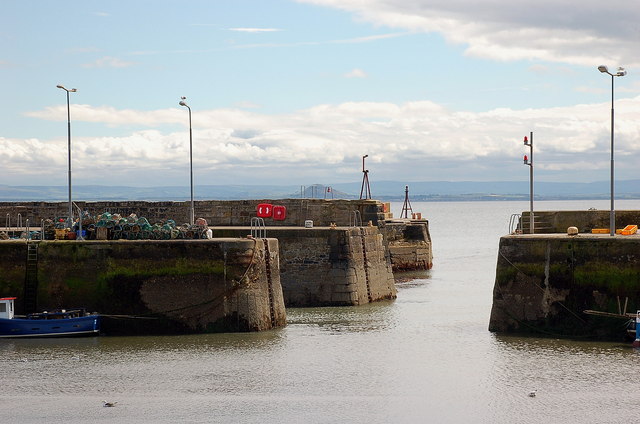
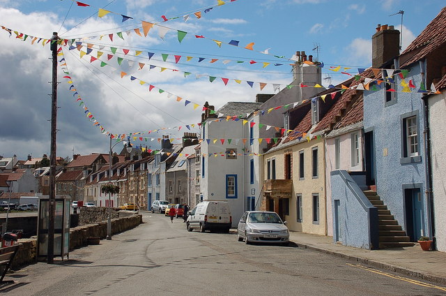
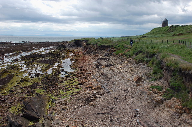
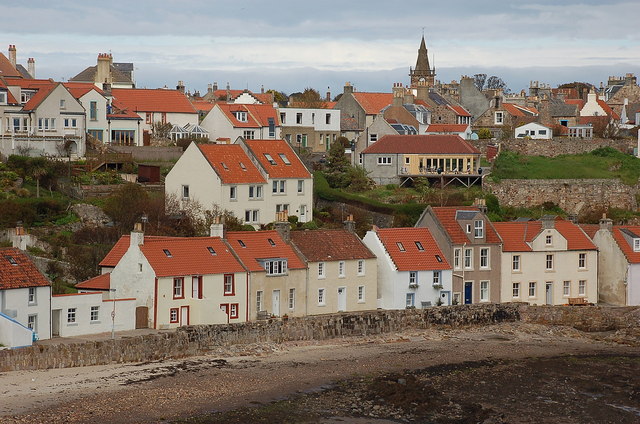
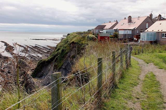
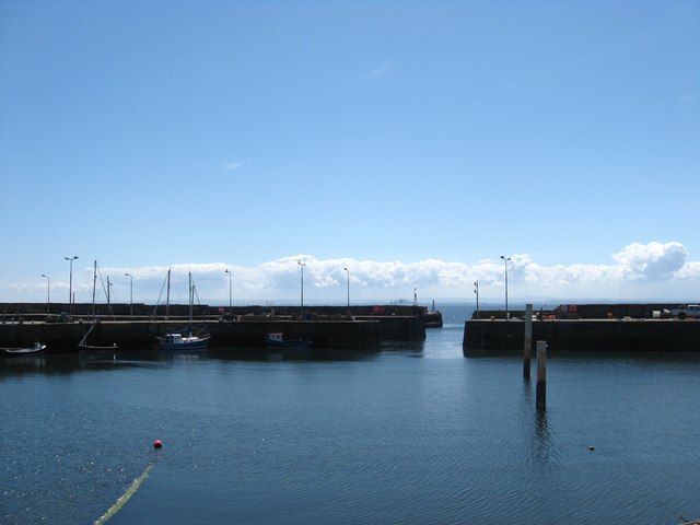
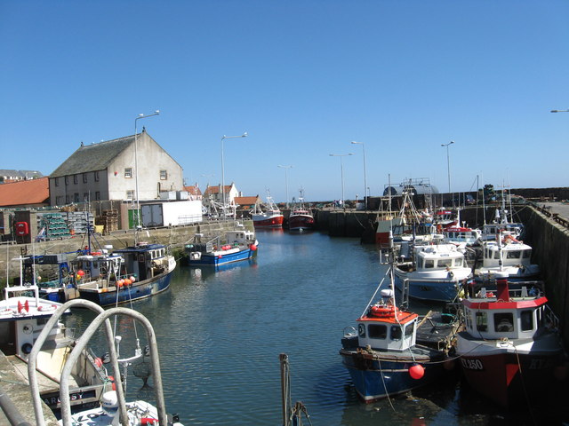
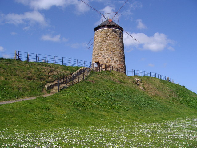
Croft Hill Images
Images are sourced within 2km of 56.213299/-2.74258 or Grid Reference NO5402. Thanks to Geograph Open Source API. All images are credited.


Croft Hill is located at Grid Ref: NO5402 (Lat: 56.213299, Lng: -2.74258)
Unitary Authority: Fife
Police Authority: Fife
What 3 Words
///annoys.baseless.stow. Near Pittenweem, Fife
Nearby Locations
Related Wikis

Pittenweem railway station
Pittenweem railway station served the village of Pittenweem, Fife, Scotland from 1863 to 1965 on the Fife Coast Railway. == History == The station opened...

Kellie Lodge
Kellie Lodge is a building in Pittenweem, Fife, Scotland. Located at 23 High Street, it is Category A listed.Some of the three-storey building dates to...

Pittenweem
Pittenweem ( ) is a fishing village and civil parish in Fife, on the east coast of Scotland. At the 2001 census, it had a population of 1,747. == Etymology... ==
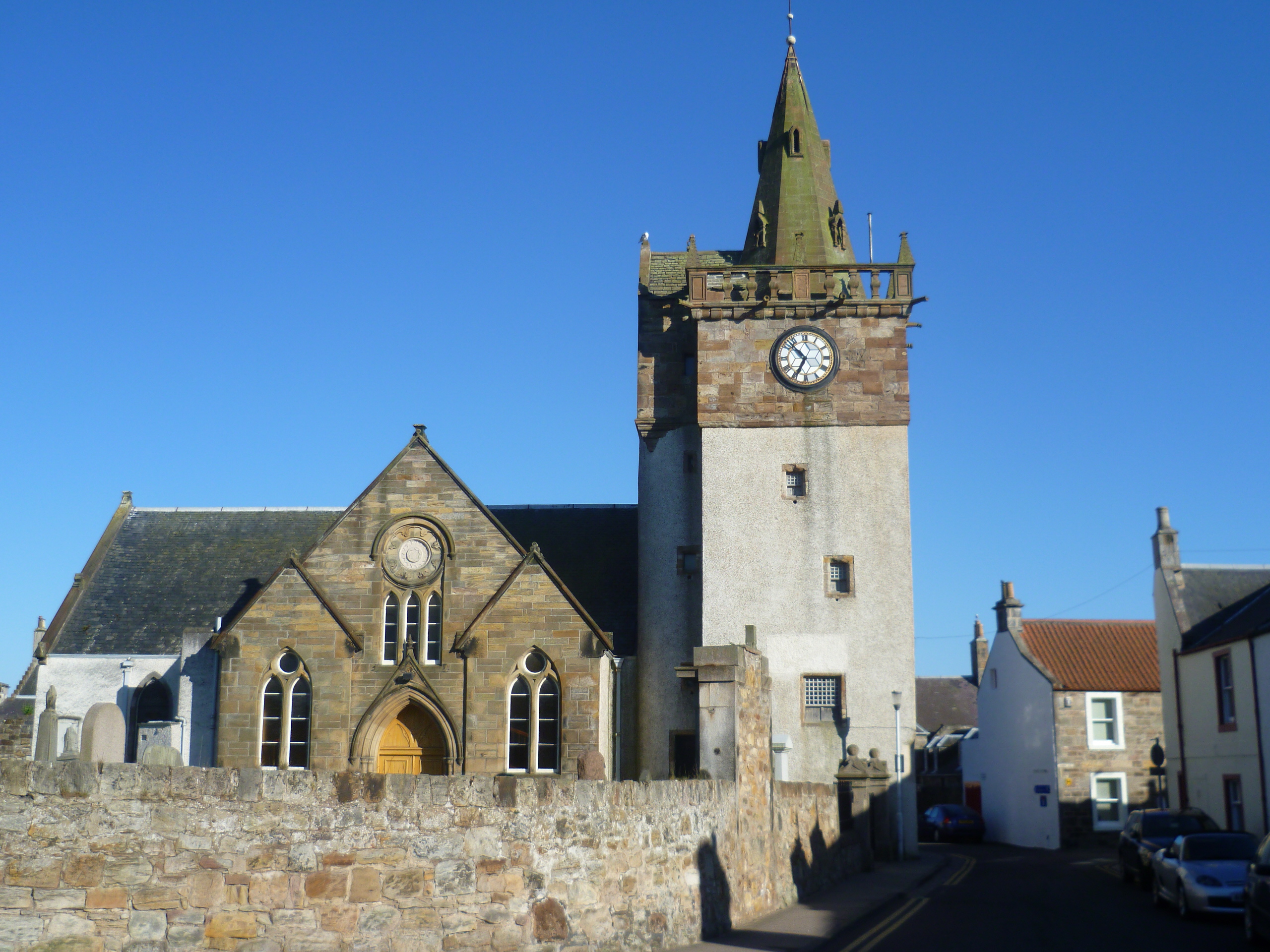
Pittenweem Parish Church and Tolbooth Steeple
Pittenweem Parish Church and Tolbooth Steeple is an ecclesiastical and municipal complex in the High Street, Pittenweem, Fife, Scotland. The structure...
Nearby Amenities
Located within 500m of 56.213299,-2.74258Have you been to Croft Hill?
Leave your review of Croft Hill below (or comments, questions and feedback).