Black Rocks
Island in East Lothian
Scotland
Black Rocks
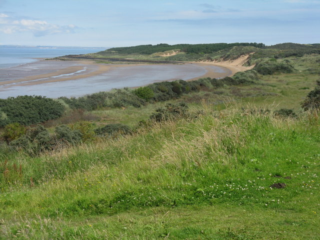
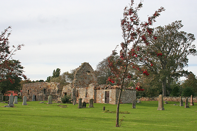
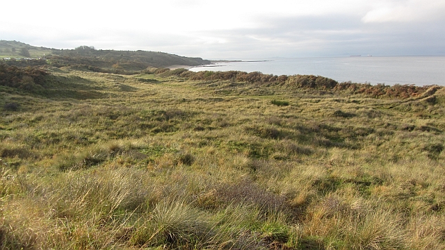
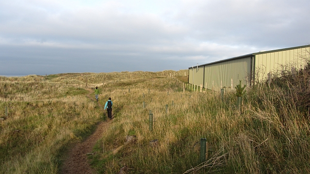
Black Rocks is a small island located in the East Lothian region of Scotland. Situated off the coast of Dunbar, this rocky outcrop is a popular destination for nature enthusiasts and visitors seeking a peaceful retreat.
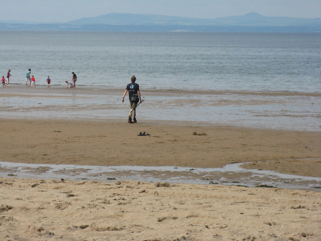
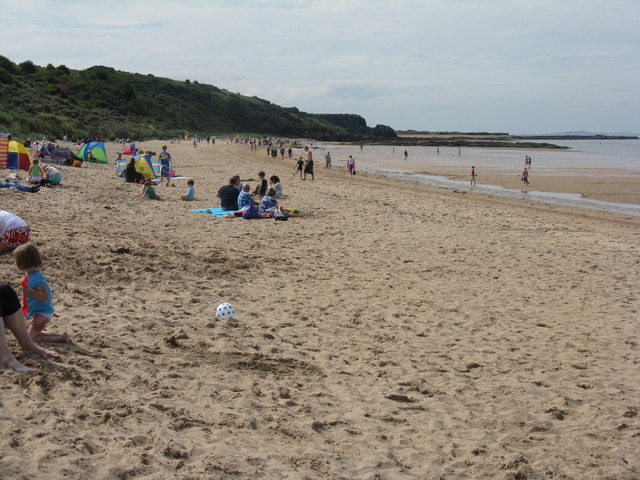
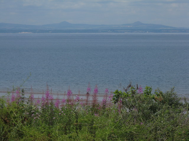
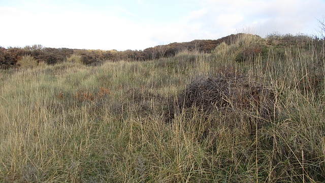
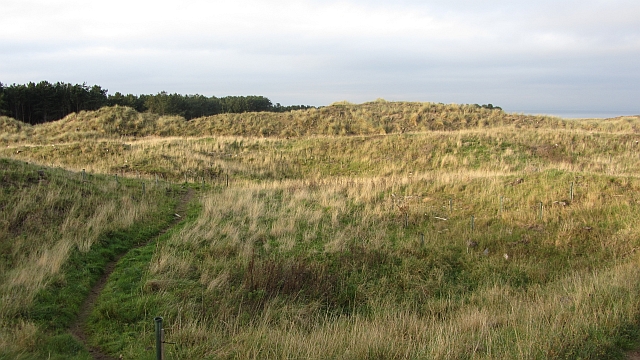
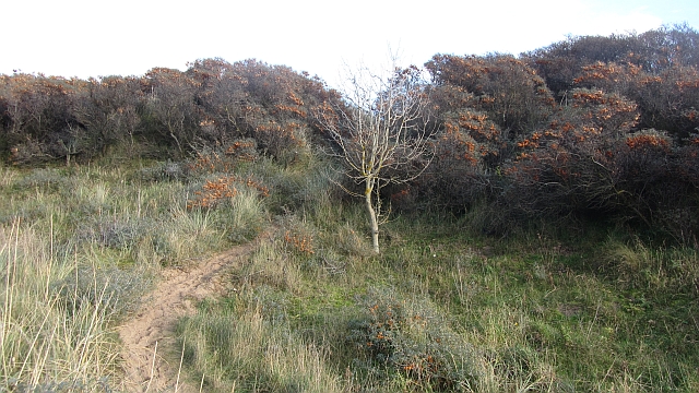
Covered in lush vegetation and surrounded by the sparkling waters of the North Sea, Black Rocks offers a unique and picturesque setting. The island is home to a variety of seabirds, including guillemots, razorbills, and puffins, making it a haven for birdwatchers. The rugged coastline also provides a habitat for seals and other marine wildlife.
Access to Black Rocks is possible during low tide when a rocky causeway emerges, allowing visitors to explore the island on foot. However, caution must be exercised as the causeway can become treacherous when the tide rises. The island's rocky terrain offers stunning views of the surrounding coastline and the historic Dunbar Castle.
Black Rocks holds historical significance as well. It is believed to have been a site of religious worship during ancient times, with evidence of Pictish symbols carved into the rocks. Over the years, it has also served as a navigational marker for sailors along the East Lothian coast.
Overall, Black Rocks is a captivating natural landmark that showcases the beauty and diversity of East Lothian's coastal environment. Its unique flora and fauna, combined with its rich history, make it a must-visit destination for both locals and tourists alike.
If you have any feedback on the listing, please let us know in the comments section below.
Black Rocks Images
Images are sourced within 2km of 56.051712/-2.8306984 or Grid Reference NT4884. Thanks to Geograph Open Source API. All images are credited.

Black Rocks is located at Grid Ref: NT4884 (Lat: 56.051712, Lng: -2.8306984)
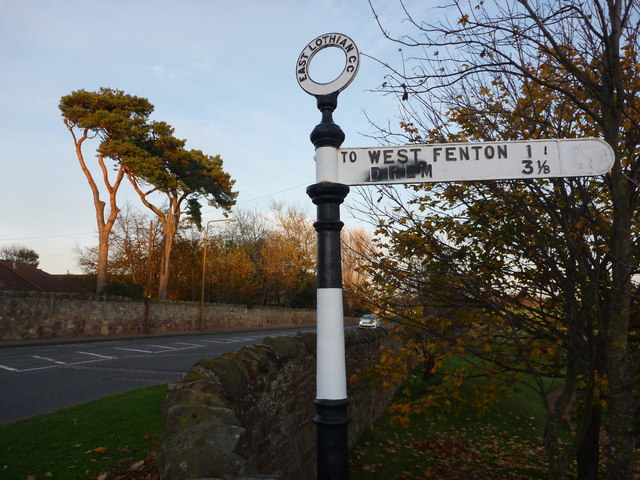
Unitary Authority: East Lothian
Police Authority: The Lothians and Scottish Borders
What 3 Words
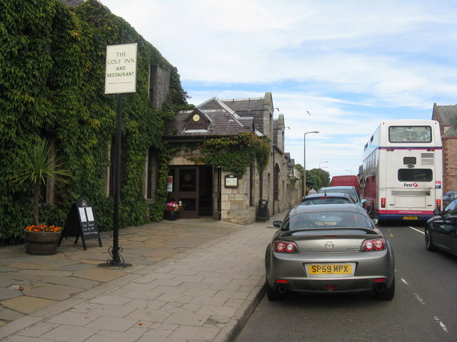
///change.stickler.dominate. Near Gullane, East Lothian
Nearby Locations
Related Wikis

1876 Open Championship
The 1876 Open Championship was the 16th Open Championship, held on Saturday 30 September at the Old Course at St Andrews, Fife, Scotland. Bob Martin won...
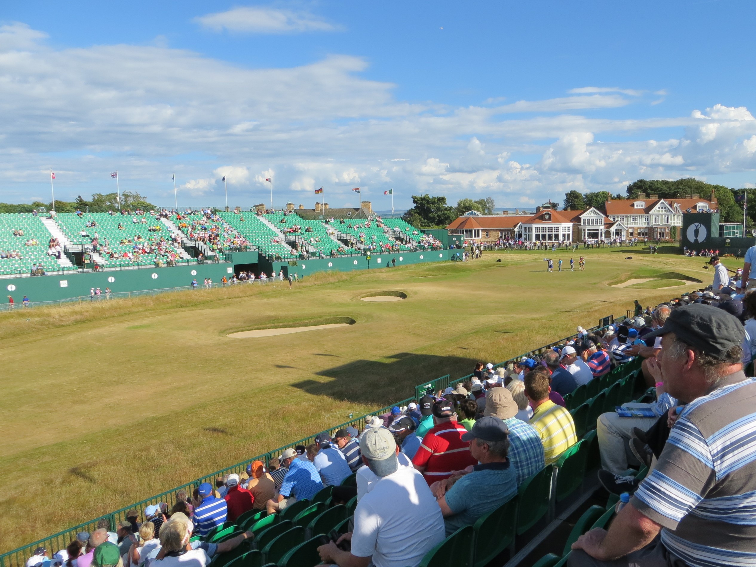
2013 Open Championship
The 2013 Open Championship was a men's major golf championship and the 142nd Open Championship, held from 18–21 July at Muirfield Golf Links in Gullane...
1872 Open Championship
The 1872 Open Championship was the 12th Open Championship, held 13 September at Prestwick Golf Club in Prestwick, South Ayrshire, Scotland. Tom Morris...
1879 Open Championship
The 1879 Open Championship was the 19th Open Championship, held 27 September at the Old Course at St Andrews, Fife, Scotland. Jamie Anderson won the Championship...
Nearby Amenities
Located within 500m of 56.051712,-2.8306984Have you been to Black Rocks?
Leave your review of Black Rocks below (or comments, questions and feedback).