Yapin Hill

Hill, Mountain in East Lothian

Scotland

Yapin Hill

Gullane Bay at low tide Looking across from the Gullane Bents car park on a sunny August day, just after midday.
Gullane Bay at low tide Credit: M J Richardson

Yapin Hill is a prominent hill located in East Lothian, Scotland. Situated approximately 20 miles east of Edinburgh, it is a well-known landmark in the region. The hill rises to an elevation of around 285 meters (935 feet) above sea level, making it a notable feature in the otherwise flat landscape of East Lothian.

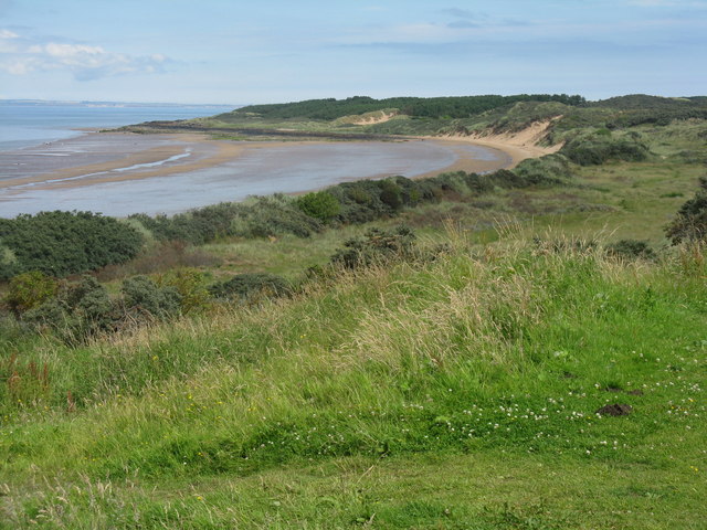
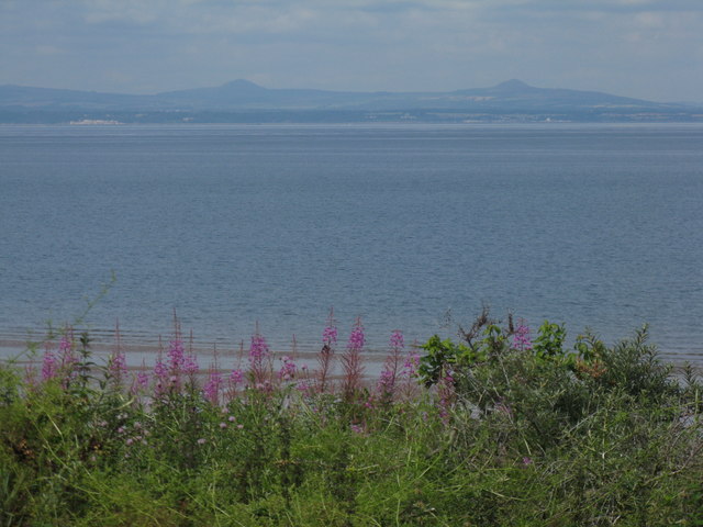
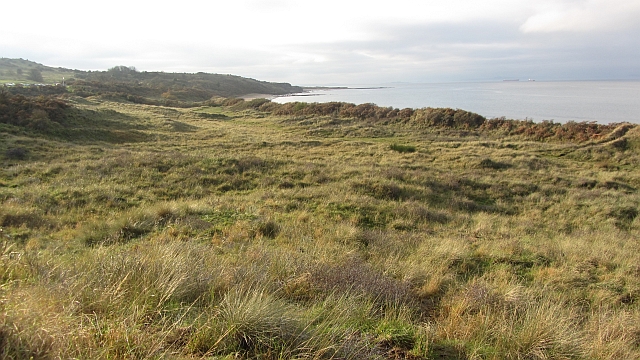
Yapin Hill is part of a range of hills known as the Lammermuir Hills, which extend across the borders of East Lothian and the Scottish Borders. The hill offers stunning panoramic views of the surrounding countryside, including the nearby towns of Haddington and Dunbar, as well as the scenic coastlines of the North Sea.

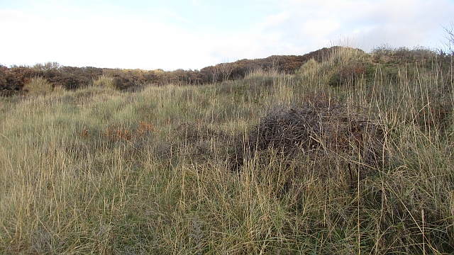
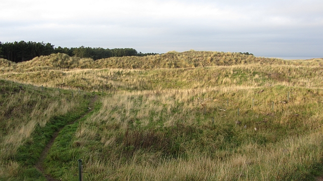
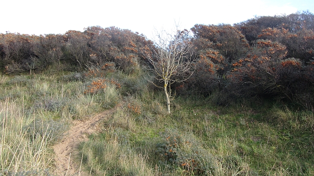
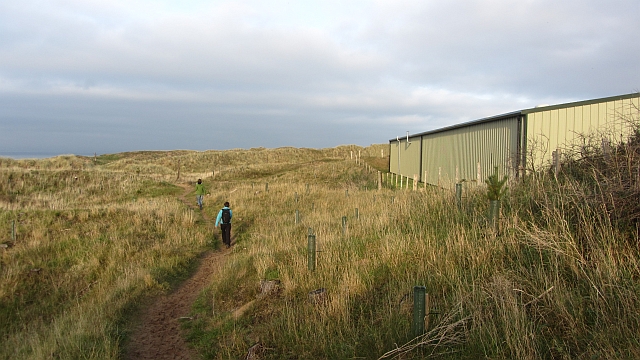
The hill is predominantly covered in heather and grass, with some areas of woodland along its slopes. It is a popular destination for hikers and nature enthusiasts, with several trails and paths leading to the summit. The walking routes provide an opportunity to explore the diverse flora and fauna of the area, including various bird species, wildflowers, and small mammals.

Yapin Hill also has historical significance, with remnants of ancient settlements and structures found in the vicinity. Archaeological excavations have uncovered evidence of Bronze Age and Iron Age human activity, including burial sites and artifacts. These discoveries contribute to the rich cultural heritage of the region.

Overall, Yapin Hill offers a blend of natural beauty, recreational opportunities, and historical interest. Its accessibility and picturesque surroundings make it a popular destination for locals and visitors alike, providing a chance to immerse oneself in the peaceful and scenic countryside of East Lothian.

If you have any feedback on the listing, please let us know in the comments section below.
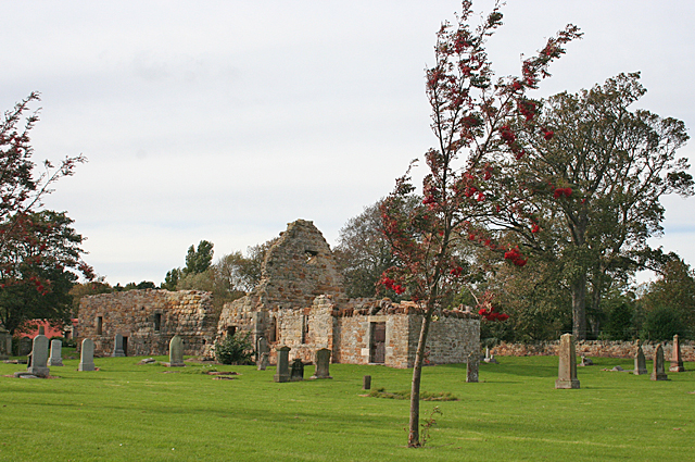
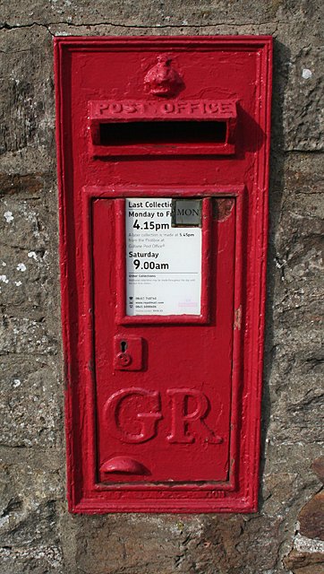
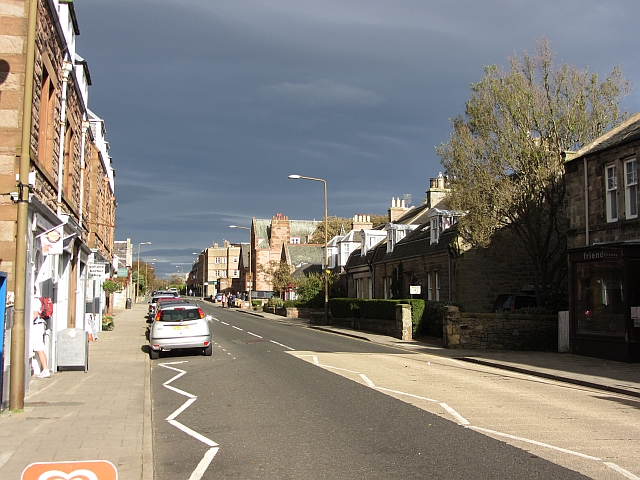
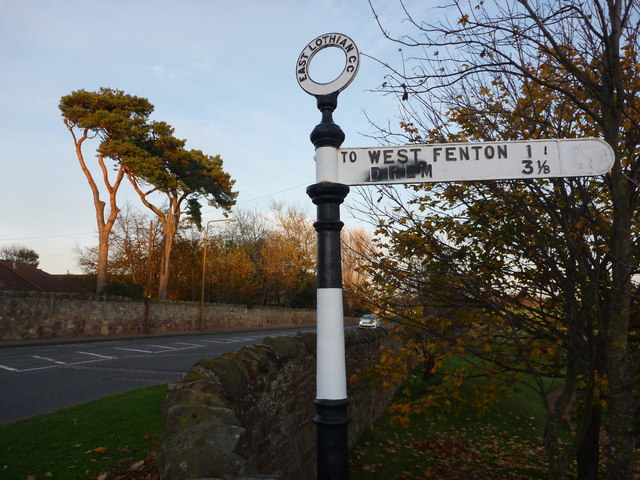
Yapin Hill Images

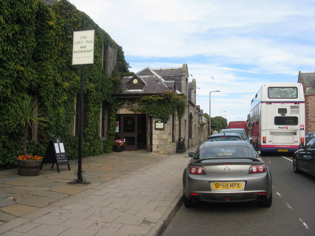
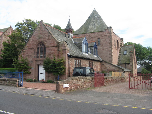
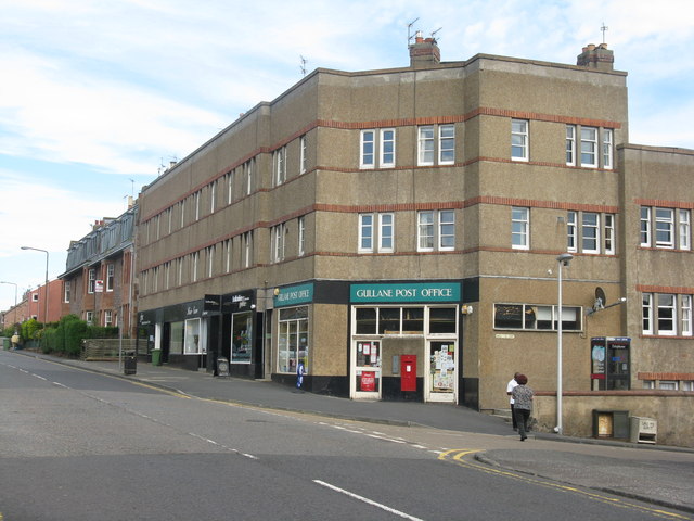
Images are sourced within 2km of 56.048595/-2.8252853 or Grid Reference NT4884. Thanks to Geograph Open Source API. All images are credited.

Gullane Bay at low tide Looking across from the Gullane Bents car park on a sunny August day, just after midday.
Gullane Bay at low tide
Looking across from the Gullane Bents car park on a sunny August day, just after midday.
Cleaning the beach at Gullane
Man with a mission... .. and a bottle, to collect a water sample for testing, to ensure that the beach continues to be up to its flag flying standard.
Man with a mission...
.. and a bottle, to collect a water sample for testing, to ensure that the beach continues to be up to its flag flying standard.
The beach at Gullane Looking west towards Bleaching Rocks - on a fine, quiet Wednesday afternoon in August.
The beach at Gullane
Looking west towards Bleaching Rocks - on a fine, quiet Wednesday afternoon in August.
Main Street Gullane Looking towards North Berwick, with the Golf Inn and Restaurant on the left
Main Street Gullane
Looking towards North Berwick, with the Golf Inn and Restaurant on the left
St Peter's Hall, Main Street, Gullane
Gullane Post Office And shops and flats, at the junction of Main Street and Hall Crescent.
Gullane Post Office
And shops and flats, at the junction of Main Street and Hall Crescent.
A view of the Lomond Hills in Fife, from Gullane As seen looking northwest across Gullane Bay, from the south side of the Firth of Forth from Gullane Bents.
A view of the Lomond Hills in Fife, from Gullane
As seen looking northwest across Gullane Bay, from the south side of the Firth of Forth from Gullane Bents.
St Andrews Kirk The ruins of the ancient kirk are almost the first thing to greet you as you enter the small town of Gullane.
St Andrews Kirk
The ruins of the ancient kirk are almost the first thing to greet you as you enter the small town of Gullane.
Post Box at Gullane This one is very plain, with just the letters GR and no other decorations. It is set into the sandstone wall surrounding the old kirk of St Andrew.
Post Box at Gullane
This one is very plain, with just the letters GR and no other decorations. It is set into the sandstone wall surrounding the old kirk of St Andrew.
Main Street, Gullane
East Lothian Townscape : ELCC Fingerpost at West Fenton Road, Gullane An attractive single-finger ELCC post, unfortunately marked.
East Lothian Townscape : ELCC Fingerpost at West Fenton Road, Gullane
An attractive single-finger ELCC post, unfortunately marked.
Gullane Bents An area of dunes which has been cleared of buckthorn. Almost all the dunes here are infested with this alien weed.
Gullane Bents
An area of dunes which has been cleared of buckthorn. Almost all the dunes here are infested with this alien weed.
Buckthorn clearance, Gullane Bents Another small clearing won from the ever present buckthorn.
Buckthorn clearance, Gullane Bents
Another small clearing won from the ever present buckthorn.
Jamie's Neuk The woodland has mostly been felled, but it appears that replanting has taken place. It used to look like this: <a href="https://www.geograph.org.uk/photo/382171">NT4884 : Knoll, Jamie's Neuk</a>

--
2021
The young trees starting to get established here have now all been cut down.
Jamie's Neuk
The woodland has mostly been felled, but it appears that replanting has taken place. It used to look like this: NT4884 : Knoll, Jamie's Neuk -- 2021 The young trees starting to get established here have now all been cut down.
West Links Poor old dunes; if the golfers don't get them, the buckthorn will.  Sea buckthorn is getting established on the dunes between Muirfield and the beach.

--
2016
This buckthorn was cleared in December 2016.
West Links
Poor old dunes; if the golfers don't get them, the buckthorn will. Sea buckthorn is getting established on the dunes between Muirfield and the beach. -- 2016 This buckthorn was cleared in December 2016.
Gullane Bents A sandy path amongst the all conquering buckthorn.
Gullane Bents
A sandy path amongst the all conquering buckthorn.
Path, Jamie's Neuk The path passes between former conifer woods on dunes and a greenkeepers building at Muirfield.
Path, Jamie's Neuk
The path passes between former conifer woods on dunes and a greenkeepers building at Muirfield.
Show me another place!

Yapin Hill is located at Grid Ref: NT4884 (Lat: 56.048595, Lng: -2.8252853)

Unitary Authority: East Lothian

Police Authority: The Lothians and Scottish Borders

What 3 Words

///gloom.test.sleepy. Near Gullane, East Lothian

Related Wikis

1876 Open Championship

The 1876 Open Championship was the 16th Open Championship, held on Saturday 30 September at the Old Course at St Andrews, Fife, Scotland. Bob Martin won...

1872 Open Championship

The 1872 Open Championship was the 12th Open Championship, held 13 September at Prestwick Golf Club in Prestwick, South Ayrshire, Scotland. Tom Morris...

1879 Open Championship

The 1879 Open Championship was the 19th Open Championship, held 27 September at the Old Course at St Andrews, Fife, Scotland. Jamie Anderson won the Championship...

2013 Open Championship

The 2013 Open Championship was a men's major golf championship and the 142nd Open Championship, held from 18–21 July at Muirfield Golf Links in Gullane...

Nearby Amenities

Located within 500m of 56.048595,-2.8252853
Created By: almien_coastlines
Lat/Long: 56.052963/-2.823763
Created By: almien_coastlines
Lat/Long: 56.052708/-2.824221
Created By: almien_coastlines
Lat/Long: 56.052324/-2.824909
Created By: almien_coastlines
Lat/Long: 56.051818/-2.829029
Created By: almien_coastlines
Lat/Long: 56.051438/-2.831319
Created By: almien_coastlines
Lat/Long: 56.050286/-2.832239
Created By: almien_coastlines
Lat/Long: 56.049647/-2.832471
The data included in this document is from www.openstreetmap.org. The data is made available under ODbL.

Have you been to Yapin Hill?

Leave your review of Yapin Hill below (or comments, questions and feedback).